Garra Loch
Lake, Pool, Pond, Freshwater Marsh in Ayrshire
Scotland
Garra Loch
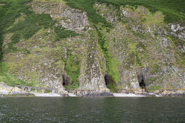
Garra Loch, located in Ayrshire, Scotland, is a picturesque freshwater loch nestled amidst the rolling hills and lush landscapes of the region. Spanning an area of approximately 50 acres, the loch is a haven for nature enthusiasts and offers a diverse range of habitats, including lakes, pools, ponds, and freshwater marshes.
The calm and tranquil waters of Garra Loch are a sight to behold, attracting not only locals but also tourists who seek solace in its serene surroundings. The loch is fed by several small streams that flow from nearby hills, ensuring a constant supply of fresh water. This, in turn, supports a rich ecosystem that thrives within its depths.
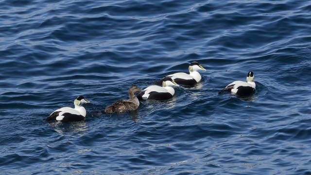
The diverse range of habitats within Garra Loch provides a sanctuary for a variety of flora and fauna. The surrounding marshes and wetlands are home to numerous species of waterfowl, including ducks, swans, and herons, making it an ideal spot for birdwatching enthusiasts. The loch also supports a healthy population of fish, such as brown trout and pike, attracting anglers from far and wide.
Surrounded by lush vegetation and woodland, Garra Loch offers visitors the opportunity to explore its scenic trails and enjoy a leisurely stroll along its shores. The loch is a popular spot for outdoor activities such as boating, canoeing, and kayaking, providing ample opportunities for adventure and recreation.
Overall, Garra Loch in Ayrshire is a hidden gem that offers a tranquil retreat for nature lovers, providing a diverse range of habitats and a myriad of recreational activities in a stunning natural setting.
If you have any feedback on the listing, please let us know in the comments section below.
Garra Loch Images
Images are sourced within 2km of 55.250704/-5.1161302 or Grid Reference NX0299. Thanks to Geograph Open Source API. All images are credited.
Garra Loch is located at Grid Ref: NX0299 (Lat: 55.250704, Lng: -5.1161302)
Unitary Authority: South Ayrshire
Police Authority: Ayrshire
What 3 Words
///dose.folks.scarcely. Near Girvan, South Ayrshire
Nearby Locations
Related Wikis
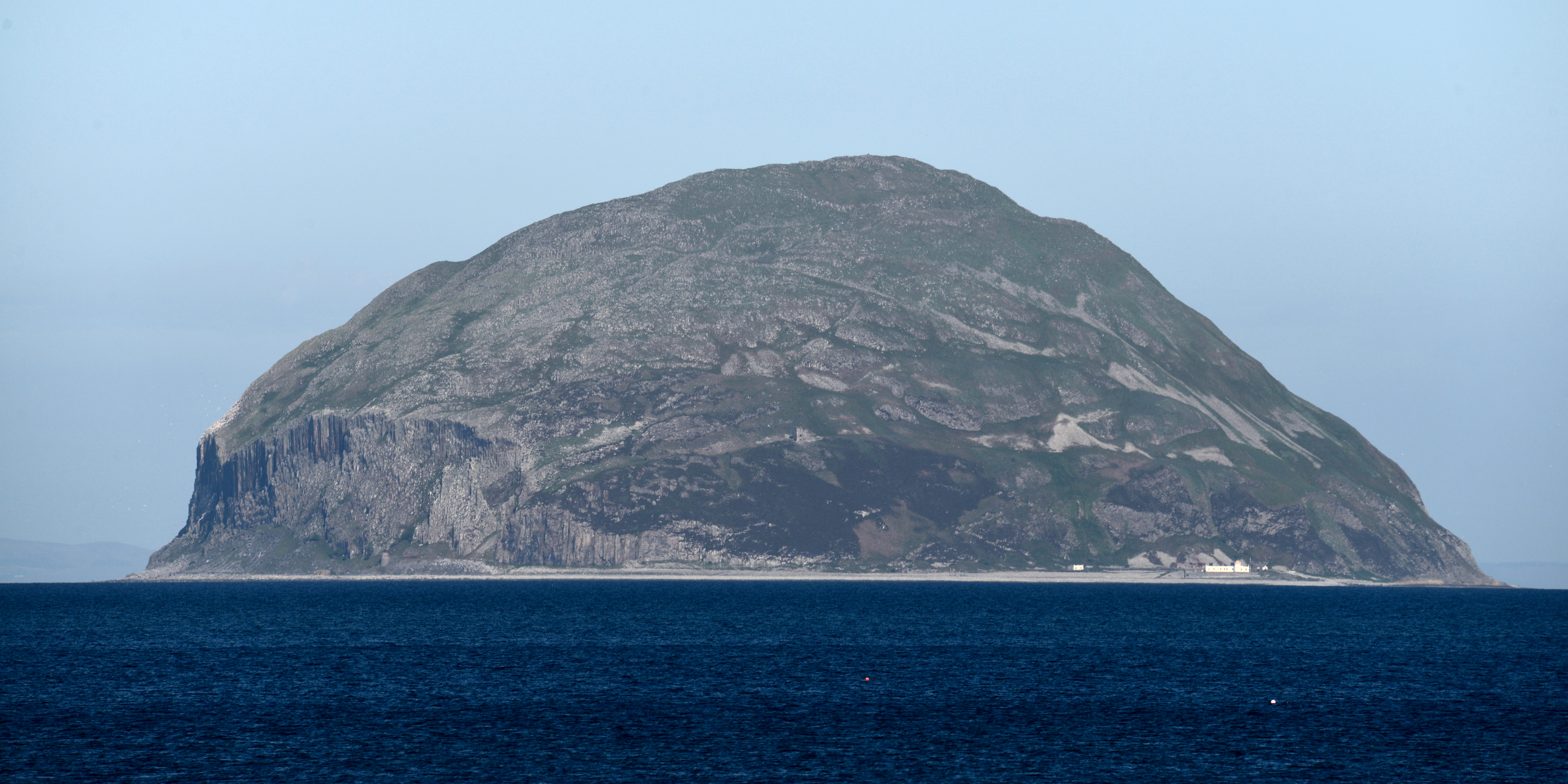
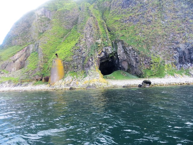
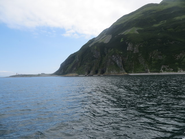
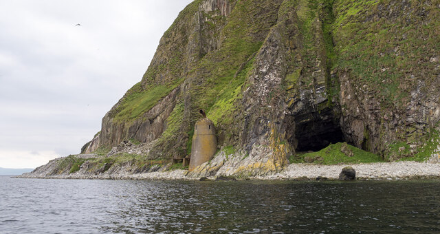
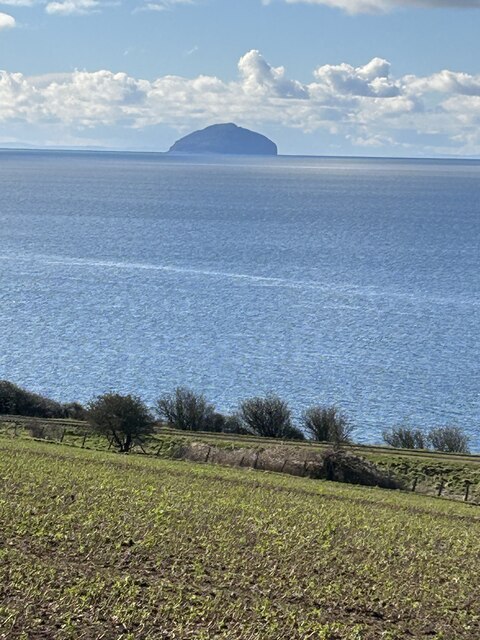
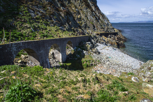
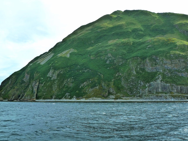
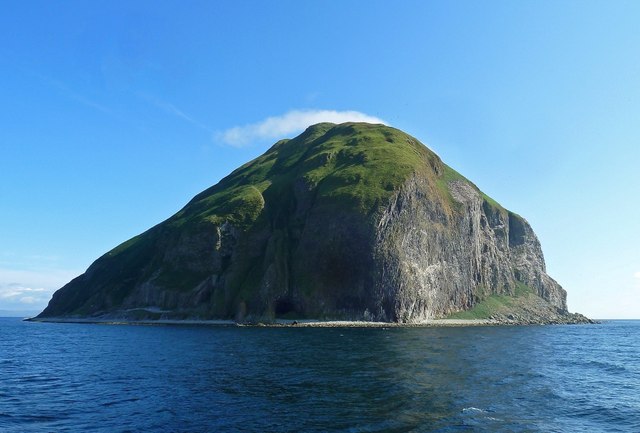
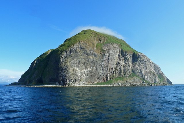
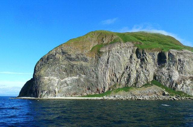
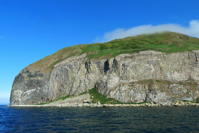
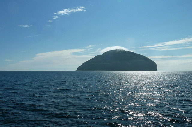
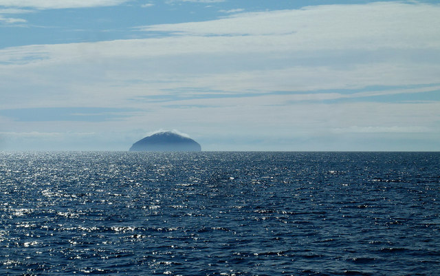
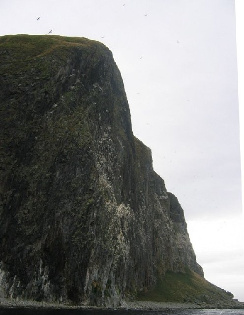
Ailsa Craig
Ailsa Craig (; Scots: Ailsae Craig; Scottish Gaelic: Creag Ealasaid) is an island of 99 ha (240 acres) in the outer Firth of Clyde, 16 km (8+1⁄2 nmi) west...

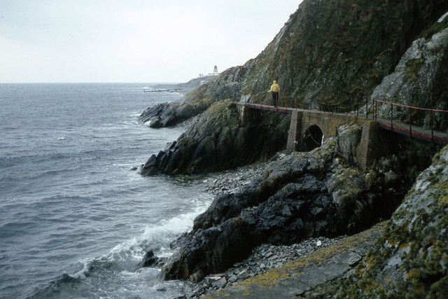
Ailsa Craig Lighthouse
The Ailsa Craig Lighthouse, is an active 19th century lighthouse located on Ailsa Craig, an island in the Firth of Clyde, just offshore from Girvan, South...
Nearby Amenities
Located within 500m of 55.250704,-5.1161302Have you been to Garra Loch?
Leave your review of Garra Loch below (or comments, questions and feedback).