The Belt

Wood, Forest in Wigtownshire

Scotland

The Belt

Portpatrick From the coast path to the north west, the start of the Southern Upland Way to Cockburnspath on the east coast.
Portpatrick Credit: Andy Stephenson

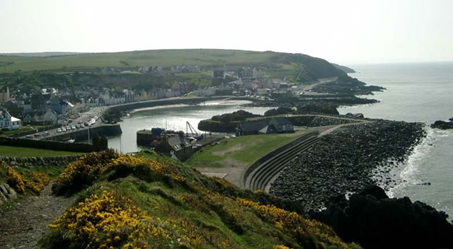
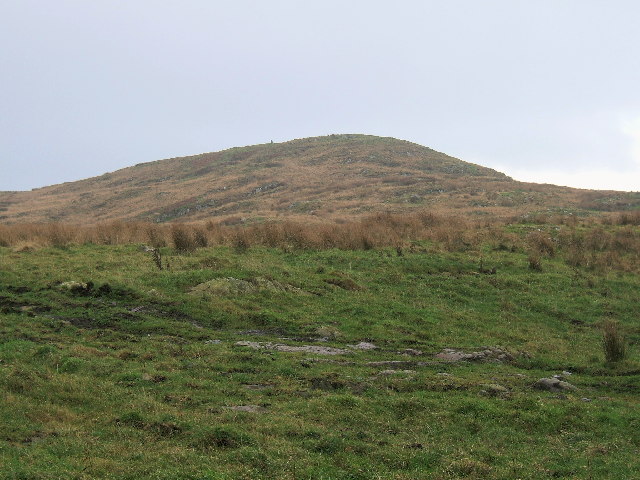
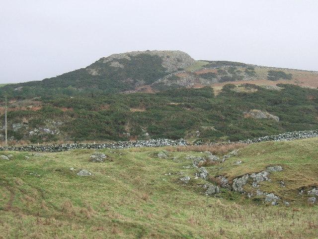
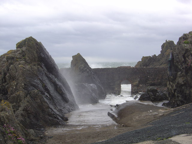
The Belt, located in Wigtownshire, is a picturesque woodland area that spans over several miles. Nestled in the southwest region of Scotland, this forest is known for its breathtaking beauty and rich biodiversity.

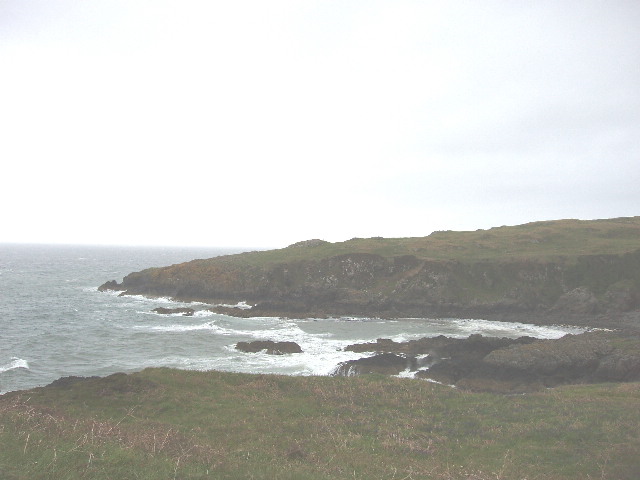
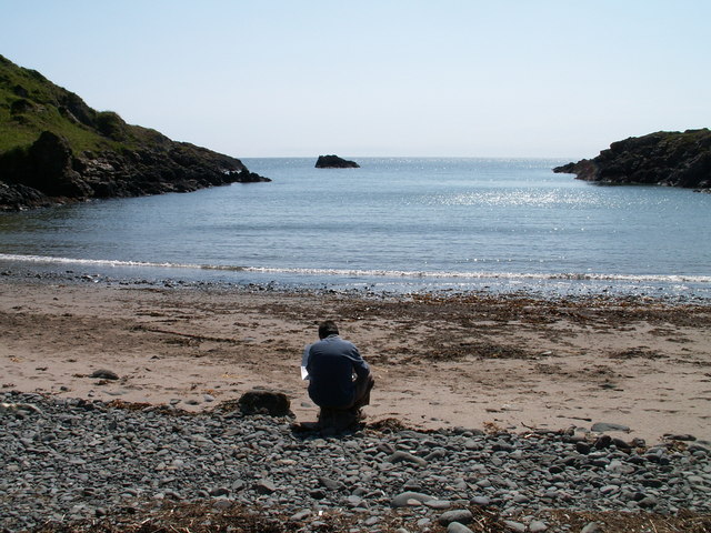
Covering a varied terrain of rolling hills, dense woods, and meandering streams, The Belt offers a tranquil escape for nature enthusiasts and outdoor adventurers alike. The forest is predominantly made up of deciduous trees such as oak, beech, and birch, which create a vibrant display of colors during autumn.

The Belt is home to a diverse range of wildlife, including numerous bird species, mammals, and insects. Birdwatchers will be delighted to spot red kites, buzzards, and woodpeckers among the treetops, while lucky visitors might catch a glimpse of the elusive red squirrel or even a red deer.

For those who enjoy exploring on foot, The Belt offers a network of well-maintained trails and paths that wind through the forest. These paths cater to all levels of fitness and provide opportunities for leisurely strolls or more challenging hikes. Along the way, visitors can take in the enchanting scenery, breathe in the fresh woodland air, and listen to the soothing sounds of nature.

The Belt also holds cultural significance as it has been a source of inspiration for artists, writers, and poets throughout the years. Its serene atmosphere and natural beauty have inspired countless creative works, making it a beloved destination for those seeking artistic inspiration.

Overall, The Belt in Wigtownshire is a captivating woodland area that offers a perfect blend of natural beauty, wildlife, and cultural significance. Whether you are looking for a peaceful retreat or an adventurous exploration, The Belt promises an unforgettable experience in the heart of Scotland's stunning countryside.

If you have any feedback on the listing, please let us know in the comments section below.

The Belt Images

Images are sourced within 2km of 54.85662/-5.1111251 or Grid Reference NX0055. Thanks to Geograph Open Source API. All images are credited.

Portpatrick From the coast path to the north west, the start of the Southern Upland Way to Cockburnspath on the east coast.
Portpatrick
From the coast path to the north west, the start of the Southern Upland Way to Cockburnspath on the east coast.
Across Port Kale to Catebraid, near Portpatrick The inlet is the bottom of Dunskey Glen. The headland is near the start of the Southern Upland Way.
Across Port Kale to Catebraid, near Portpatrick
The inlet is the bottom of Dunskey Glen. The headland is near the start of the Southern Upland Way.
Dunskey Glen, near Portpatrick
A tribute to the Lifeboatmen of Portpatrick This is in memory of the Lifeboatmen of Portpatrick who, in January 1953, risked their lives to save the passengers and crew of the BR/S Princess Victoria during The Great Storm.
A tribute to the Lifeboatmen of Portpatrick
This is in memory of the Lifeboatmen of Portpatrick who, in January 1953, risked their lives to save the passengers and crew of the BR/S Princess Victoria during The Great Storm.
Car park at south end of Portpatrick Harbour Car park at south end of Portpatrick Harbour.
Car park at south end of Portpatrick Harbour
Car park at south end of Portpatrick Harbour.
Portpatrick This is a panoramic view on Portpatrick. Four pictures were used for this view and were stitched together using Panavue.
Portpatrick
This is a panoramic view on Portpatrick. Four pictures were used for this view and were stitched together using Panavue.
Killantringan Fell near Portpatrick The small hill Killantringan Fell (464 feet) situated south of the Southern Upland Way road to Killantringan Lighthouse.
Killantringan Fell near Portpatrick
The small hill Killantringan Fell (464 feet) situated south of the Southern Upland Way road to Killantringan Lighthouse.
Craig Anthony (90 metres) near Killantringan lighthouse. A steep rocky crag named Craig Anthony near Killantringan lighthouse, South West Scotland.
Craig Anthony (90 metres) near Killantringan lighthouse.
A steep rocky crag named Craig Anthony near Killantringan lighthouse, South West Scotland.
Port Kale and Port Mora Bays from Catebraid near Portpatrick Port Kale (foreground) and Port Mora (known locally as Sandeel Bay) Bays near Portpatrick. This location covers three ordnance survey squares but I have chosen the furthest away for the location.
Port Kale and Port Mora Bays from Catebraid near Portpatrick
Port Kale (foreground) and Port Mora (known locally as Sandeel Bay) Bays near Portpatrick. This location covers three ordnance survey squares but I have chosen the furthest away for the location.
A waterfall over caves at the end of Sandeel Bay (Port Mora Bay) near Portpatrick.
Port Patrick Hotel Taken from the old Harbour in Portpatrick up towards the hotel
Port Patrick Hotel
Taken from the old Harbour in Portpatrick up towards the hotel
Portpatrick Harbour My yacht 'Makushla' is the large yacht moored against the wall with the smaller one rafted against it.
Portpatrick Harbour
My yacht 'Makushla' is the large yacht moored against the wall with the smaller one rafted against it.
Portpatrick Waterfront Hotel
Portpatrick Harbour
Portpatrick Harbour
View from Portpatrick
Port Mora
Port Mora
The Portpatrick Hotel The hotel in the picture dominates the village of Portpatrick, and is The Portpatrick Hotel. It is late Victorian and is now owned by the Wallace Arnold Shearings Group.
The Portpatrick Hotel
The hotel in the picture dominates the village of Portpatrick, and is The Portpatrick Hotel. It is late Victorian and is now owned by the Wallace Arnold Shearings Group.
Portpatrick waterfront
Show me another place!

The Belt is located at Grid Ref: NX0055 (Lat: 54.85662, Lng: -5.1111251)

Unitary Authority: Dumfries and Galloway

Police Authority: Dumfries and Galloway

What 3 Words

///seaside.shame.violin. Near Stranraer, Dumfries & Galloway

Related Wikis

Portpatrick railway station

Portpatrick railway station was a railway station serving the village of Portpatrick, Dumfries & Galloway, Scotland. Opened in 1862 the station served...
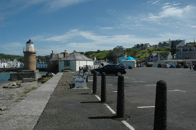
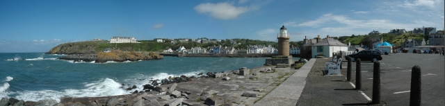
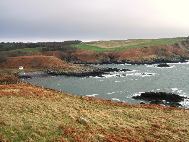
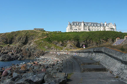
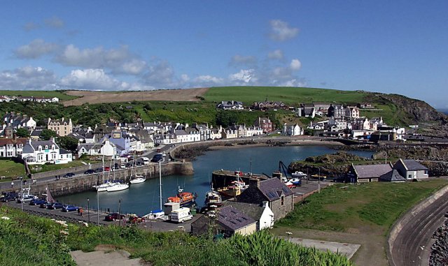
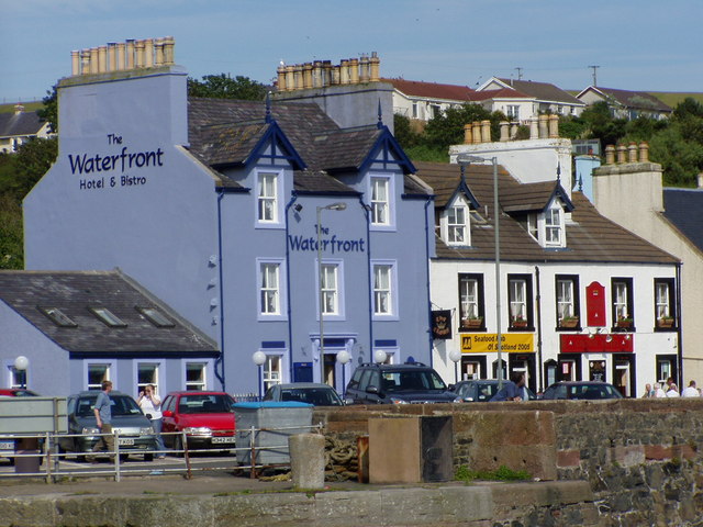
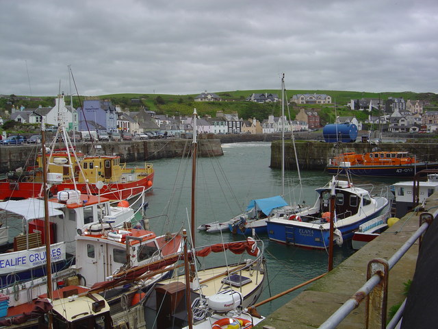
Portpatrick

Portpatrick is a village and civil parish in the historical county of Wigtownshire, Dumfries and Galloway, Scotland. It is located on the west coast of...

Dunskey

Dunskey Estate (also known as Portree Estate) is north of Portpatrick on the west coast of Scotland. The B-listed mansion dates from the start of the twentieth...

MV Craigantlet

MV Craigantlet was a German-owned, Cyprus-registered container ship operated on time-charter by Cawoods Containers Ltd of Belfast. She ran aground on 26...

Dunskey Castle

Dunskey Castle is a ruined, 12th-century tower house or castle, located 0.5 miles (0.80 km) south of the village of Portpatrick, Rhinns, Wigtownshire,...

Killantringan Lighthouse

Killantringan Lighthouse is a lighthouse located near Portpatrick in Dumfries and Galloway, south-west Scotland. The light came into operation in 1900...

Colfin railway station

Colfin railway station, located in Wigtownshire, Scotland, between Portpatrick and Stranraer, was a station on the Portpatrick and Wigtownshire Joint Railway...

Rhins of Galloway

The Rhins of Galloway, otherwise known as the Rhins of Wigtownshire (or as The Rhins, also spelled The Rhinns; Scottish Gaelic: Na Rannaibh), is a hammer...

Nearby Amenities

Located within 500m of 54.85662,-5.1111251
McCubbin's Hill
Natural: peak
Lat/Long: 54.8606267/-5.1076402
Power: pole
Lat/Long: 54.8542512/-5.1048583
Power: pole
Lat/Long: 54.8540728/-5.1052269
Power: pole
Lat/Long: 54.8540187/-5.1064782
Power: pole
Lat/Long: 54.8544444/-5.1075604
Power: pole
Lat/Long: 54.854962/-5.1089291
Power: pole
Lat/Long: 54.8554066/-5.11007
Power: pole
Lat/Long: 54.8559283/-5.1114152
Power: pole
Lat/Long: 54.8566418/-5.1128308
Power: pole
Lat/Long: 54.8570134/-5.113575
Power: pole
Lat/Long: 54.8574837/-5.1145
Power: pole
Lat/Long: 54.8539823/-5.1065251
Power: pole
Lat/Long: 54.8539998/-5.107274
Power: pole
Lat/Long: 54.8540214/-5.1078891
Power: pole
Lat/Long: 54.857562/-5.1131712
Power: pole
Lat/Long: 54.8582174/-5.112704
Dunskey Home Farm
Place: farm
Lat/Long: 54.8538852/-5.108311
The data included in this document is from www.openstreetmap.org. The data is made available under ODbL.

Have you been to The Belt?

Leave your review of The Belt below (or comments, questions and feedback).