Nursery Wood
Wood, Forest in Wigtownshire
Scotland
Nursery Wood
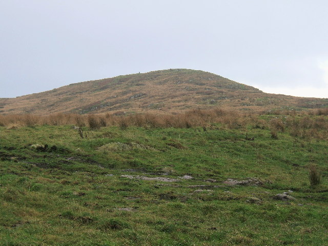
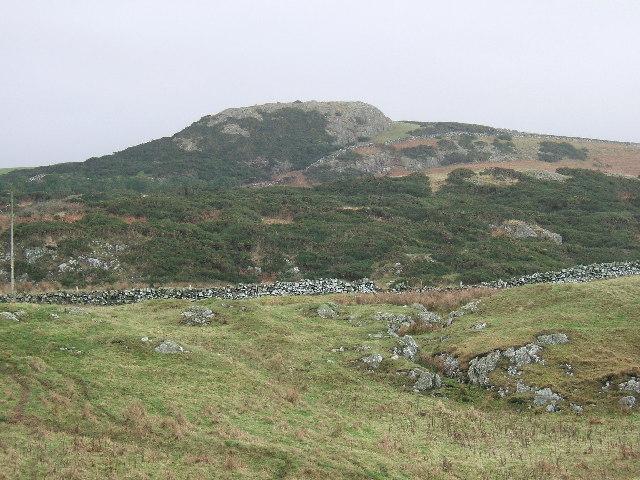
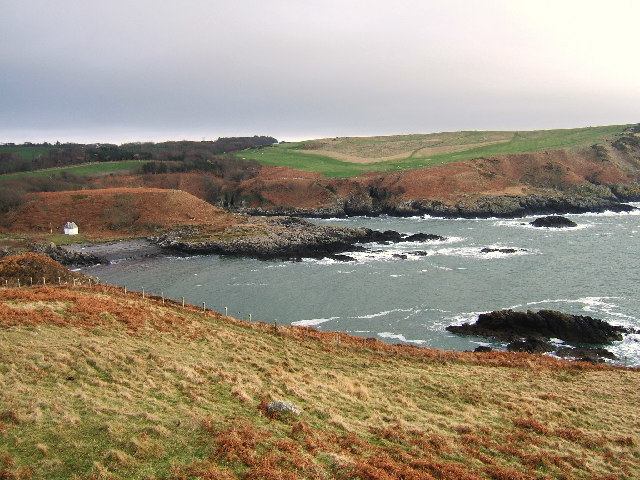
Nursery Wood, located in Wigtownshire, is a picturesque forest area famous for its natural beauty and diverse flora and fauna. Covering a vast expanse of land, the wood is a haven for nature enthusiasts, offering a tranquil escape from the hustle and bustle of everyday life.
The wood boasts a rich variety of tree species, including oak, beech, ash, and pine, which create a vibrant and ever-changing landscape throughout the seasons. Walking through the wood, visitors can experience a kaleidoscope of colors as the leaves transform from lush green in the summer to fiery reds, oranges, and yellows in the autumn.
Home to an array of wildlife, Nursery Wood provides a sanctuary for many species. Birdwatchers can spot a wide range of birds, such as woodpeckers, owls, and various songbirds, filling the air with their melodious tunes. Small mammals, including red squirrels, rabbits, and hedgehogs, can also be observed scurrying amidst the undergrowth.
For outdoor enthusiasts, Nursery Wood offers a network of well-maintained trails, ideal for hiking, jogging, or simply taking a leisurely stroll. These paths wind through the forest, leading visitors to hidden gems such as charming streams, meandering brooks, and small ponds teeming with aquatic life.
Managed by local conservation organizations, Nursery Wood is not only a place of natural beauty but also an important habitat for biodiversity. Efforts are made to protect and preserve the wood, ensuring its sustainability for generations to come.
Overall, Nursery Wood in Wigtownshire is a captivating destination for those seeking a connection with nature, providing a harmonious blend of tranquility, natural splendor, and wildlife diversity.
If you have any feedback on the listing, please let us know in the comments section below.
Nursery Wood Images
Images are sourced within 2km of 54.85287/-5.1142801 or Grid Reference NX0055. Thanks to Geograph Open Source API. All images are credited.


Nursery Wood is located at Grid Ref: NX0055 (Lat: 54.85287, Lng: -5.1142801)
Unitary Authority: Dumfries and Galloway
Police Authority: Dumfries and Galloway
What 3 Words
///these.cabbies.health. Near Stranraer, Dumfries & Galloway
Nearby Locations
Related Wikis

Portpatrick railway station
Portpatrick railway station was a railway station serving the village of Portpatrick, Dumfries & Galloway, Scotland. Opened in 1862 the station served...

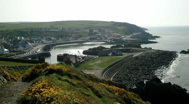
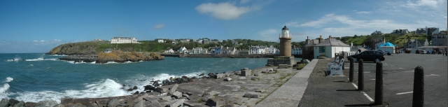
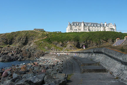
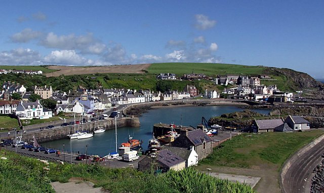
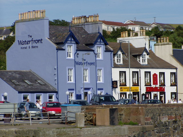
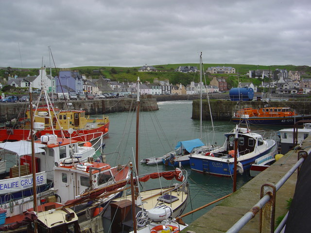
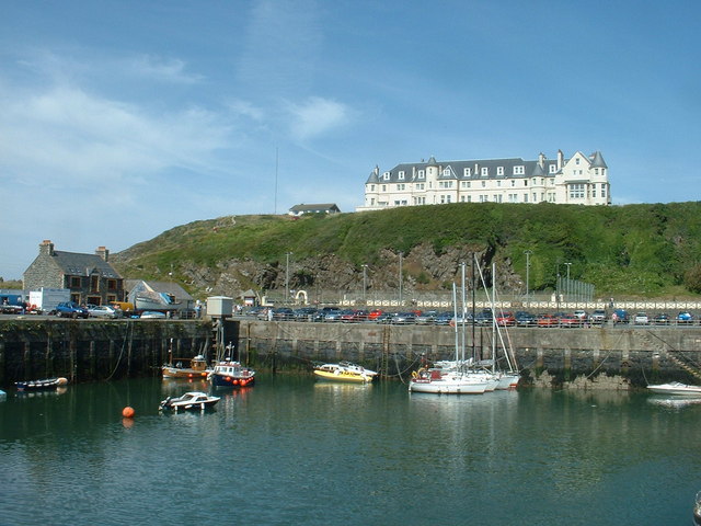
Portpatrick
Portpatrick is a village and civil parish in the historical county of Wigtownshire, Dumfries and Galloway, Scotland. It is located on the west coast of...

Dunskey
Dunskey Estate (also known as Portree Estate) is north of Portpatrick on the west coast of Scotland. The B-listed mansion dates from the start of the twentieth...

Dunskey Castle
Dunskey Castle is a ruined, 12th-century tower house or castle, located 0.5 miles (0.80 km) south of the village of Portpatrick, Rhinns, Wigtownshire,...
MV Craigantlet
MV Craigantlet was a German-owned, Cyprus-registered container ship operated on time-charter by Cawoods Containers Ltd of Belfast. She ran aground on 26...

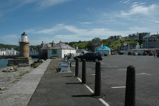
Killantringan Lighthouse
Killantringan Lighthouse is a lighthouse located near Portpatrick in Dumfries and Galloway, south-west Scotland. The light came into operation in 1900...

Colfin railway station
Colfin railway station, located in Wigtownshire, Scotland, between Portpatrick and Stranraer, was a station on the Portpatrick and Wigtownshire Joint Railway...

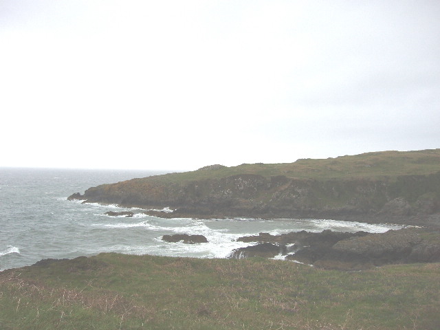
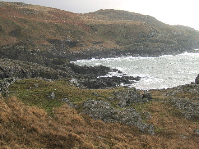
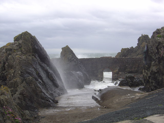
Rhins of Galloway
The Rhins of Galloway, otherwise known as the Rhins of Wigtownshire (or as The Rhins, also spelled The Rhinns; Scottish Gaelic: Na Rannaibh), is a hammer...
Nearby Amenities
Located within 500m of 54.85287,-5.1142801Have you been to Nursery Wood?
Leave your review of Nursery Wood below (or comments, questions and feedback).