Coille a' Ghlasgain
Wood, Forest in Argyllshire
Scotland
Coille a' Ghlasgain
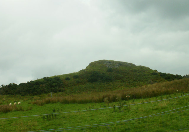
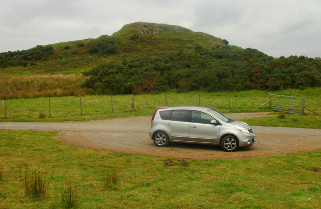
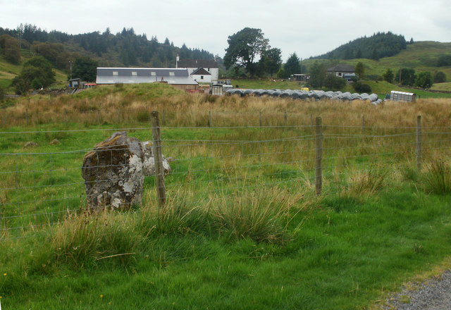
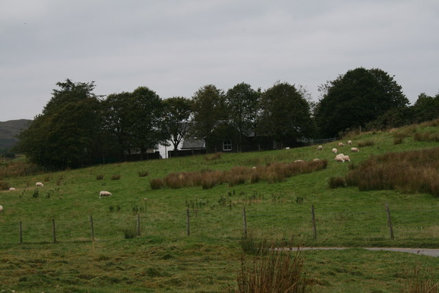
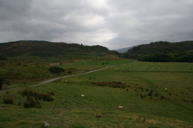
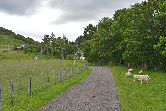
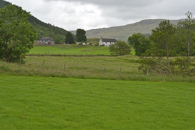
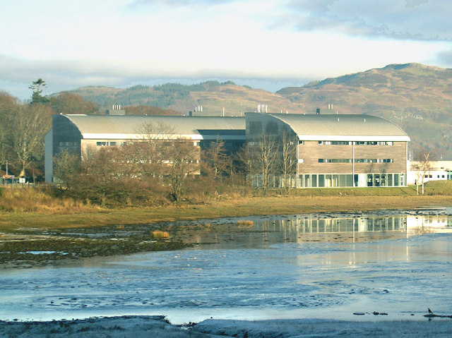
Coille a' Ghlasgain, located in Argyllshire, Scotland, is a stunning woodland area known for its lush greenery and natural beauty. Nestled amidst the picturesque landscape of the Scottish Highlands, this forest is a haven for nature enthusiasts and offers a peaceful retreat from the bustling city life.
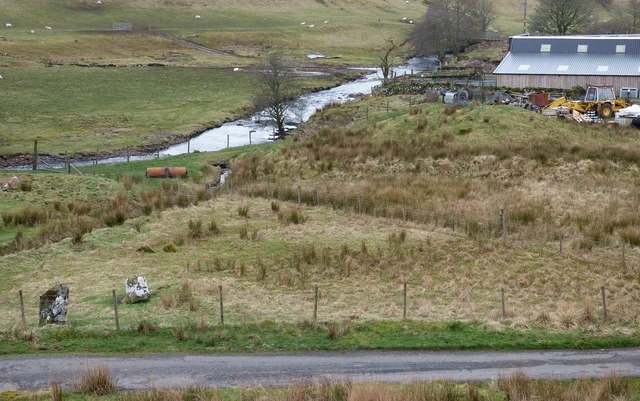
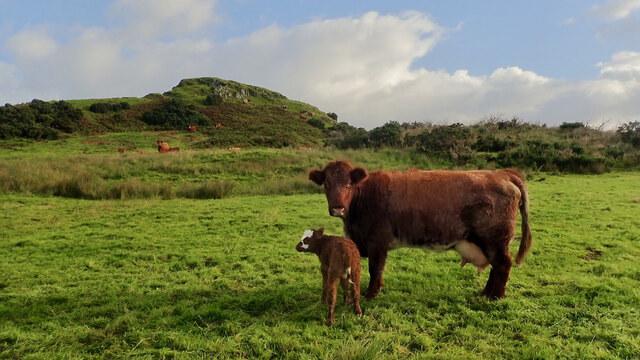
Covering an expansive area of land, Coille a' Ghlasgain is home to a wide variety of flora and fauna, making it a perfect destination for wildlife spotting and birdwatching. The forest is primarily composed of native Scottish trees, such as oak, birch, and pine, which contribute to its rich biodiversity.
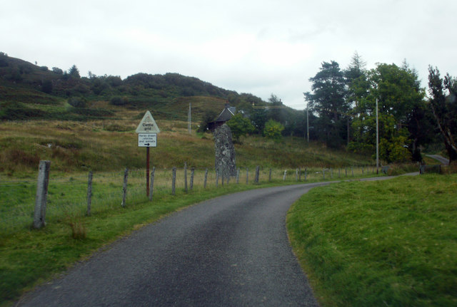
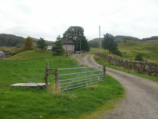
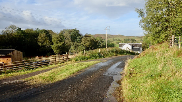
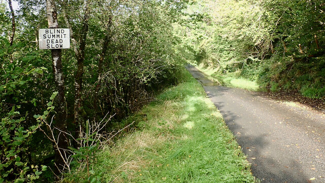
Visitors to Coille a' Ghlasgain can explore numerous walking trails that wind through the forest, allowing them to immerse themselves in the tranquil ambiance while enjoying the scenic views. The paths are well-maintained and suitable for all levels of fitness, making it accessible to people of all ages.
In addition to its natural beauty, Coille a' Ghlasgain also holds historical significance. The site was once used for timber production, and remnants of old sawmills can still be found scattered throughout the forest. These historical remnants add an intriguing element to the overall experience of exploring the woodland.
Whether one seeks solitude in nature, a chance to observe wildlife, or simply a break from the urban environment, Coille a' Ghlasgain offers a truly enchanting experience. Its breathtaking scenery and diverse ecosystem make it a must-visit destination for anyone with an appreciation for the great outdoors.
If you have any feedback on the listing, please let us know in the comments section below.
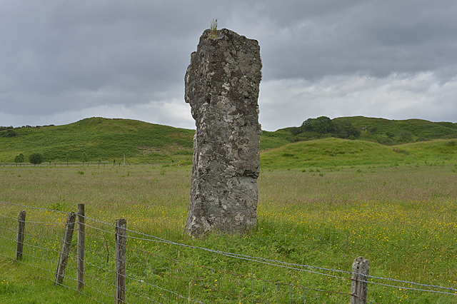
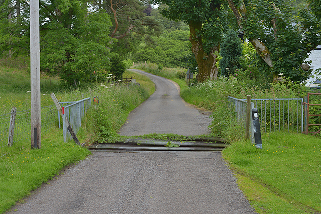
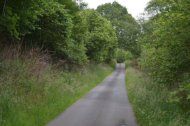
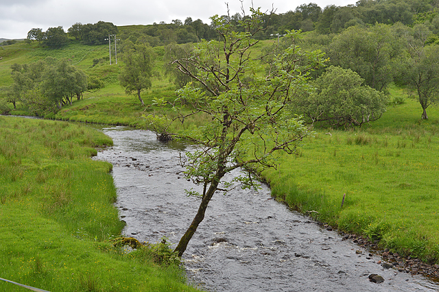
Coille a' Ghlasgain Images
Images are sourced within 2km of 56.41933/-5.3782216 or Grid Reference NM9130. Thanks to Geograph Open Source API. All images are credited.
Coille a' Ghlasgain is located at Grid Ref: NM9130 (Lat: 56.41933, Lng: -5.3782216)
Unitary Authority: Argyll and Bute
Police Authority: Argyll and West Dunbartonshire
What 3 Words
///inform.croak.regress. Near Oban, Argyll & Bute
Nearby Locations
Related Wikis

Connel Ferry railway station
Connel Ferry railway station is a railway station serving the village of Connel in western Scotland. This station is on the Oban branch of the West Highland...
Connel
Connel (Gaelic: A' Choingheal) is a village in Argyll and Bute, Scotland. It is situated on the southern shore of Loch Etive. The Lusragan Burn flows through...

Connel Bridge
Connel Bridge is a cantilever bridge that spans Loch Etive at Connel in Scotland. The bridge takes the A828 road across the narrowest part of the loch...

Falls of Lora
The Falls of Lora is a tidal race which forms at the mouth of Loch Etive when a particularly high tide runs out from the loch. They form white water rapids...

North Connel railway station
North Connel was a railway station located in North Connel, Argyll and Bute, on the north shore of Loch Etive. Its location was at the north end of Connel...
North Connel
North Connel is a hamlet on the north side of Loch Etive in Argyll and Bute, Scotland. Connel Bridge connects the community to Connel on the south shore...
Dunbeg
Dunbeg (Scottish Gaelic: An Dùn Beag), formerly known as Dunstaffnage (Scottish Gaelic: Dùn Stafhainis or Dùn Staidhinis), is a village about 2+1⁄2 miles...

Fearnoch
Fearnoch is a small village in Argyll and Bute, Scotland. It is located just off the A85 road, about 2 miles (3 km) west of the village of Taynuilt....
Have you been to Coille a' Ghlasgain?
Leave your review of Coille a' Ghlasgain below (or comments, questions and feedback).