Barr Mòr
Hill, Mountain in Argyllshire
Scotland
Barr Mòr
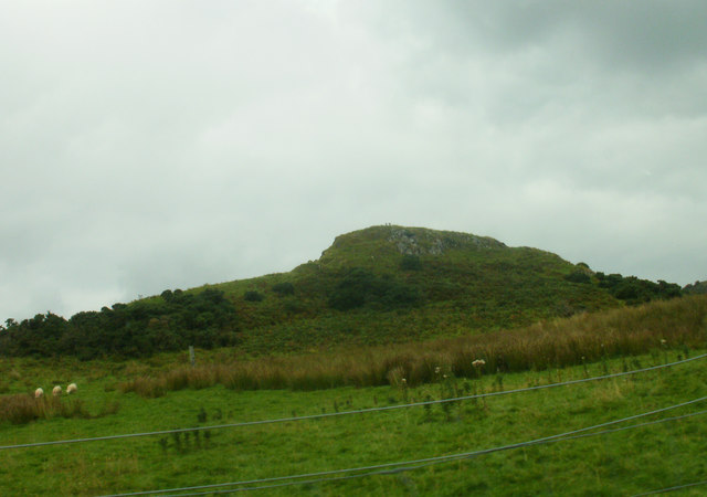
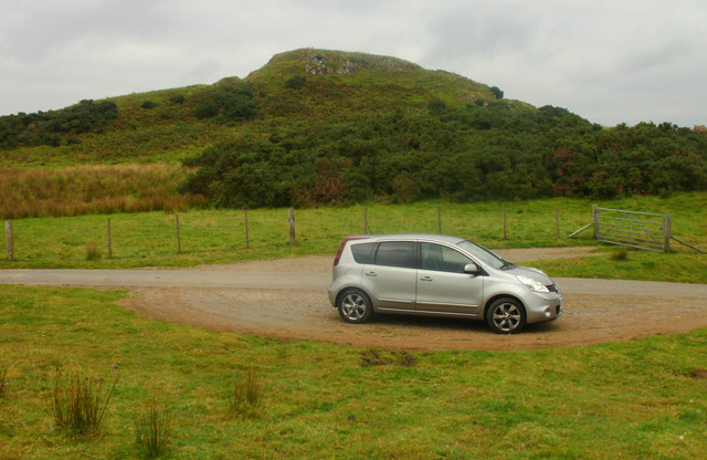
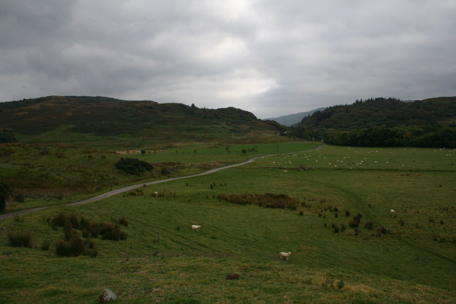
Barr Mòr is a prominent hill located in Argyllshire, Scotland. It is situated in the western part of the region, near the village of Lochgilphead. The hill is part of the wider Mid-Argyll uplands and forms a striking feature in the surrounding landscape.
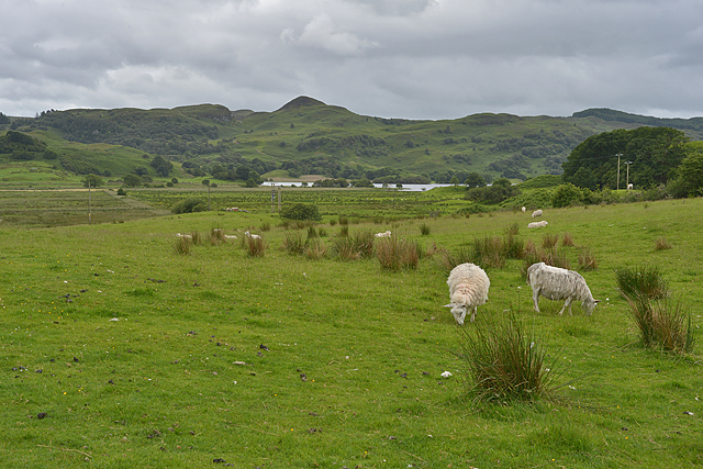
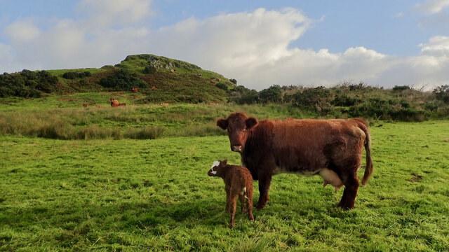
Rising to an elevation of approximately 360 meters (1,180 feet), Barr Mòr offers breathtaking panoramic views of the surrounding countryside. Its distinctive conical shape and rugged terrain make it a popular destination for hikers and nature enthusiasts. The hill is covered in a mixture of heather, grasses, and scattered rocky outcrops, creating a diverse and picturesque environment.
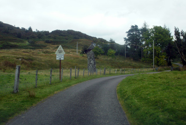
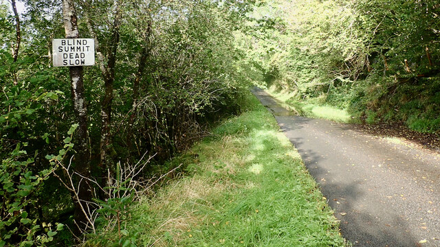
The summit of Barr Mòr is accessible via several well-maintained footpaths that wind their way up the hillside. These routes provide an enjoyable challenge for walkers of varying abilities. The climb offers the opportunity to observe a wide range of local flora and fauna, including various bird species, wildflowers, and mosses.
In addition to its natural beauty, Barr Mòr also holds historical significance. At the summit, there are the remains of an Iron Age fort, providing evidence of human occupation in the area dating back thousands of years. This site adds an interesting archaeological element to the hill, further enhancing its appeal to visitors interested in history.
Overall, Barr Mòr in Argyllshire is a captivating hill that offers stunning views, diverse wildlife, and a glimpse into the past. Whether it be for recreational purposes or cultural exploration, this natural landmark provides an enriching experience for all who venture to its summit.
If you have any feedback on the listing, please let us know in the comments section below.
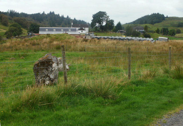
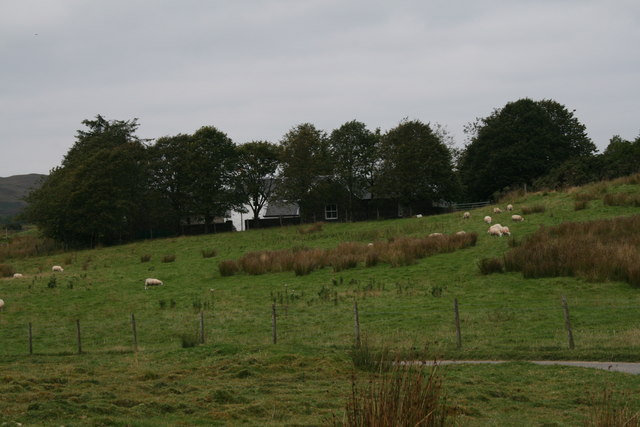
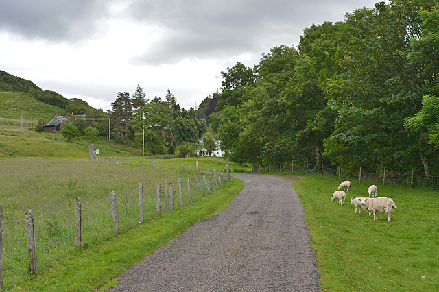
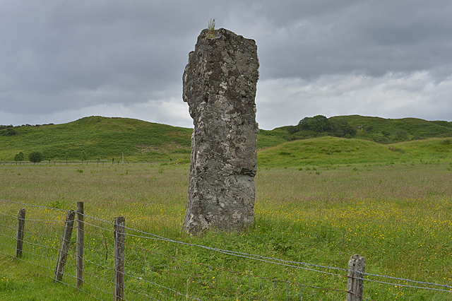
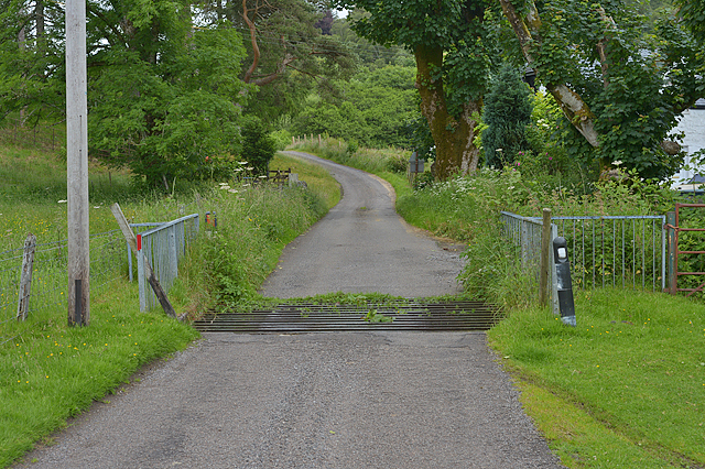
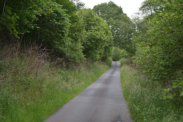
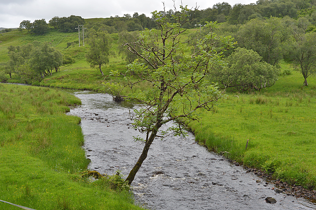
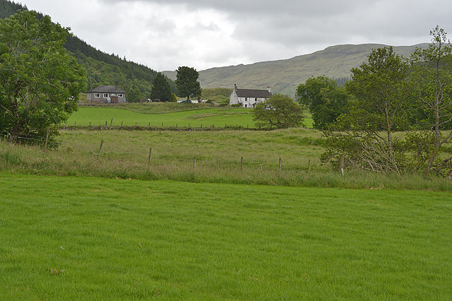
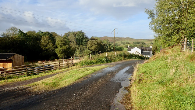
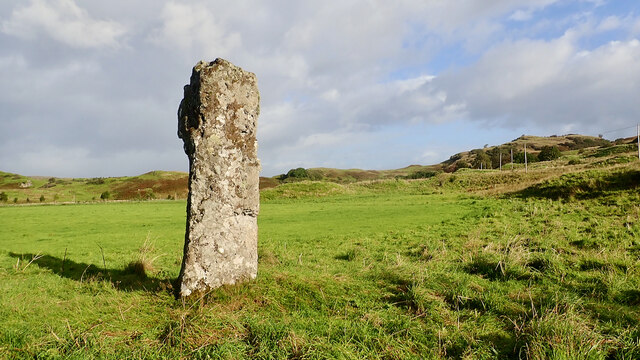
Barr Mòr Images
Images are sourced within 2km of 56.416453/-5.3867895 or Grid Reference NM9130. Thanks to Geograph Open Source API. All images are credited.
Barr Mòr is located at Grid Ref: NM9130 (Lat: 56.416453, Lng: -5.3867895)
Unitary Authority: Argyll and Bute
Police Authority: Argyll and West Dunbartonshire
What 3 Words
///stapled.speaker.ripen. Near Oban, Argyll & Bute
Nearby Locations
Related Wikis

Connel Ferry railway station
Connel Ferry railway station is a railway station serving the village of Connel in western Scotland. This station is on the Oban branch of the West Highland...
Connel
Connel (Gaelic: A' Choingheal) is a village in Argyll and Bute, Scotland. It is situated on the southern shore of Loch Etive. The Lusragan Burn flows through...

Connel Bridge
Connel Bridge is a cantilever bridge that spans Loch Etive at Connel in Scotland. The bridge takes the A828 road across the narrowest part of the loch...

Falls of Lora
The Falls of Lora is a tidal race which forms at the mouth of Loch Etive when a particularly high tide runs out from the loch. They form white water rapids...
Nearby Amenities
Located within 500m of 56.416453,-5.3867895Have you been to Barr Mòr?
Leave your review of Barr Mòr below (or comments, questions and feedback).