Airds Wood
Wood, Forest in Argyllshire
Scotland
Airds Wood
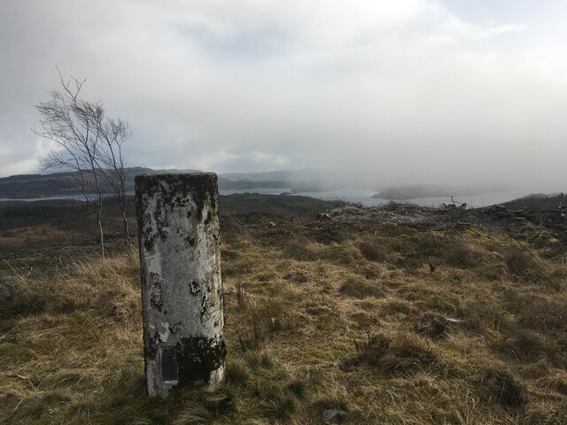
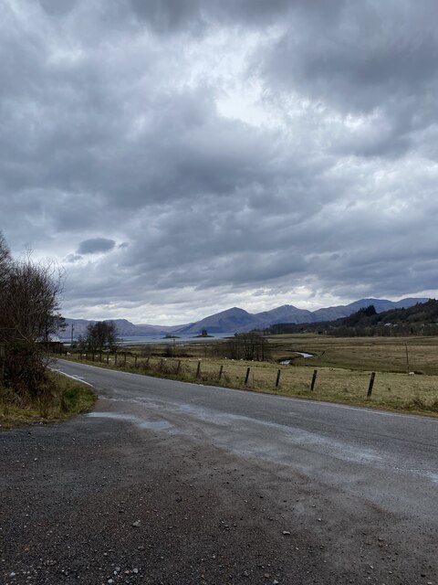
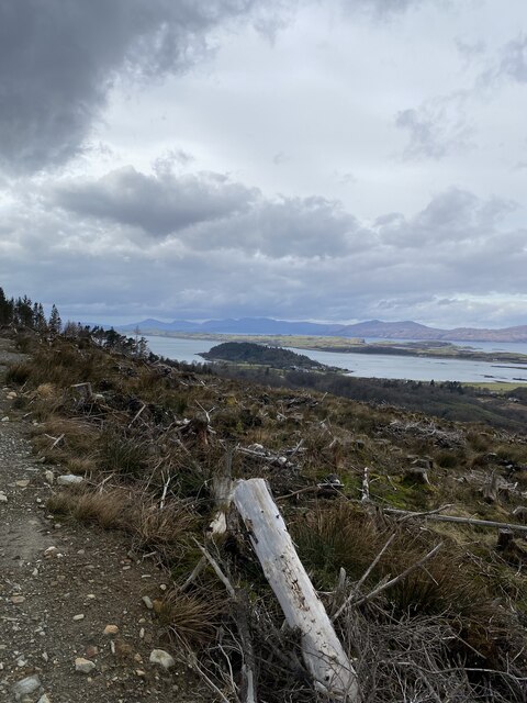
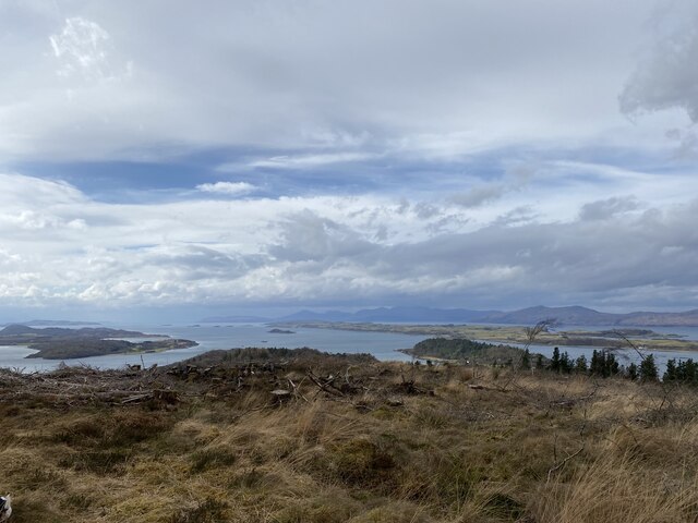
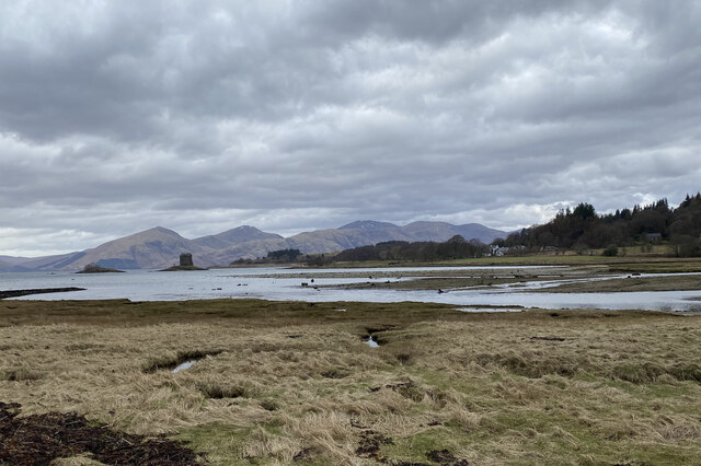
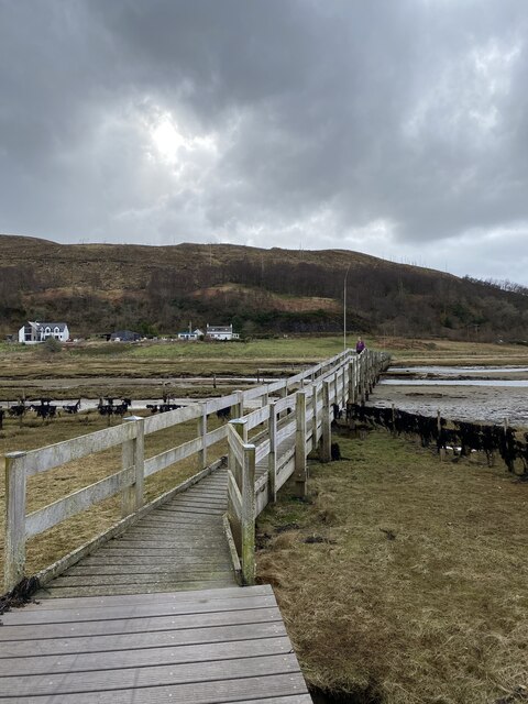
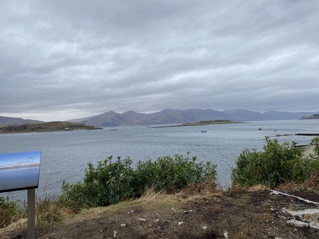
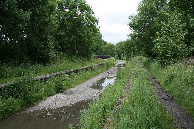
Airds Wood is a picturesque forest located in Argyllshire, Scotland. This enchanting woodland covers an area of approximately 500 acres and is known for its diverse flora and fauna, making it a popular destination for nature enthusiasts and hikers.
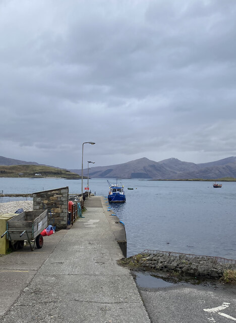
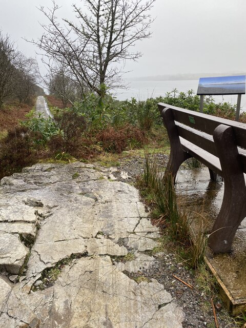
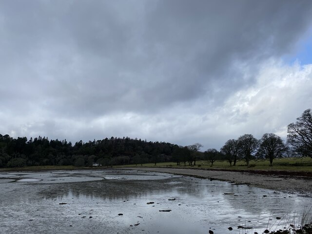
The wood is situated in a remote and tranquil location, offering visitors a peaceful and serene environment. It is easily accessible by foot, with well-maintained paths and trails that wind through the forest. As visitors explore the wood, they will be greeted by a breathtaking landscape of towering trees, vibrant wildflowers, and a variety of wildlife.
Airds Wood is home to a rich assortment of tree species, including oak, birch, beech, and pine. The canopy of these majestic trees provides shade and shelter, creating a cool and calming atmosphere. The forest floor is carpeted with moss, ferns, and heather, adding to the natural beauty and diversity of the wood.
Wildlife thrives in Airds Wood, with sightings of red squirrels, deer, and various bird species being common. The wood is also known for its birdwatching opportunities, with several species of birds, including woodpeckers and owls, making their homes among the trees.
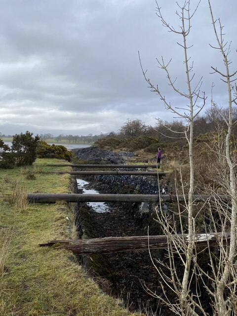
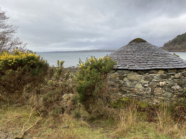
In addition to its natural wonders, Airds Wood also holds historical significance. Ruins of old settlements and ancient burial grounds can be found within the wood, offering visitors a glimpse into the area's past.
Overall, Airds Wood is a captivating destination that showcases the natural beauty and rich biodiversity of Argyllshire. It is a place where visitors can escape the hustle and bustle of everyday life and immerse themselves in the tranquility of nature.
If you have any feedback on the listing, please let us know in the comments section below.
Airds Wood Images
Images are sourced within 2km of 56.558381/-5.3873924 or Grid Reference NM9145. Thanks to Geograph Open Source API. All images are credited.


Airds Wood is located at Grid Ref: NM9145 (Lat: 56.558381, Lng: -5.3873924)
Unitary Authority: Argyll and Bute
Police Authority: Argyll and West Dunbartonshire
What 3 Words
///cyber.framework.panoramic. Near Oban, Argyll & Bute
Nearby Locations
Related Wikis

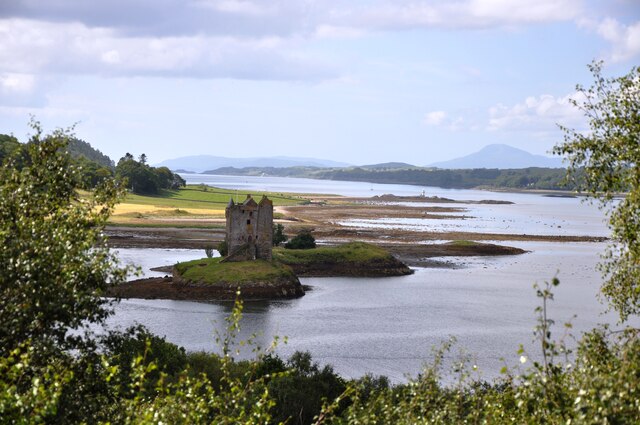
Castle Stalker
Castle Stalker (Scottish Gaelic: Caisteal an Stalcaire) is a four-storey tower house or keep in the Scottish county Argyll. It is set on a tidal islet...
Appin railway station
Appin was a railway station in Scotland, close to the Sound of Shuna on the east shore of Loch Laiche - an arm of Loch Linnhe, Portnacroish, Appin in Argyll...

Appin
Appin (Scottish Gaelic: An Apainn) is a coastal district of the Scottish West Highlands bounded to the west by Loch Linnhe, to the south by Loch Creran...

Airds Bay
Airds Bay is a small bay south-west of Port Appin on the west coast of Scotland. It is located at the south-western end of Appin in Argyll and Bute, forming...

Shuna Island
Shuna Island or simply Shuna is an island in Loch Linnhe, offshore from Appin, in Argyll and Bute, Scotland. The island is approximately two kilometres...

Eriska
Eriska is a flat tidal island at the entrance to Loch Creran on the west coast of Scotland. Privately owned by the Buchanan-Smiths from 1973 until August...

Loch Creran
Loch Creran is a sea loch in Argyll, on the west coast of Scotland. It is about 10 kilometres (6.2 mi) long from its head at Invercreran to its mouth on...

Creagan railway station
Creagan was a railway station located on the north shore of Loch Creran 1⁄4 mile (400 m) north of the Creagan Inn in Argyll and Bute. It was on the Ballachulish...
Nearby Amenities
Located within 500m of 56.558381,-5.3873924Have you been to Airds Wood?
Leave your review of Airds Wood below (or comments, questions and feedback).