Coille Mhinniceig
Wood, Forest in Inverness-shire
Scotland
Coille Mhinniceig
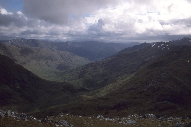
Coille Mhinniceig, located in Inverness-shire, Scotland, is a captivating wood or forest that offers a serene and picturesque environment for nature enthusiasts. With an approximate area of [insert size], this woodland boasts an array of diverse flora and fauna, making it an ideal destination for outdoor activities and exploration.
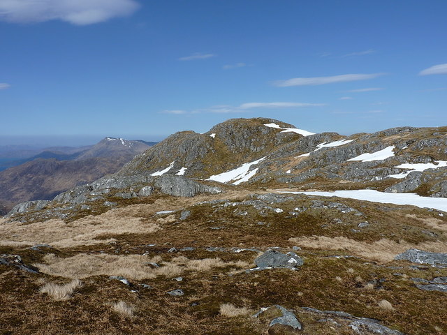
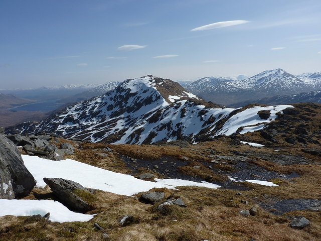
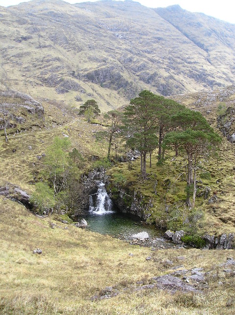
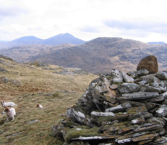
The forest is characterized by its dense canopy of towering trees, including native species such as Scots pine, birch, and oak. These majestic trees create a mesmerizing backdrop, especially during autumn when the leaves turn vibrant shades of orange and gold. The forest floor is adorned with a lush carpet of moss and ferns, adding to the enchanting atmosphere.
Coille Mhinniceig provides a thriving habitat for a variety of wildlife. Visitors may spot red squirrels gracefully leaping from branch to branch, while elusive Scottish wildcats and pine martens silently roam amidst the undergrowth. Birdwatchers can observe a plethora of species, including the charming capercaillie and the melodious song thrush.
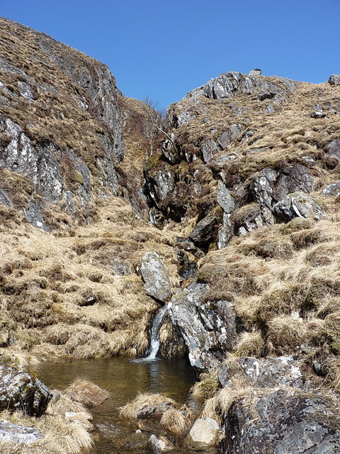
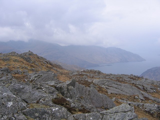
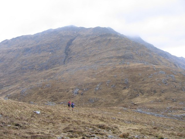
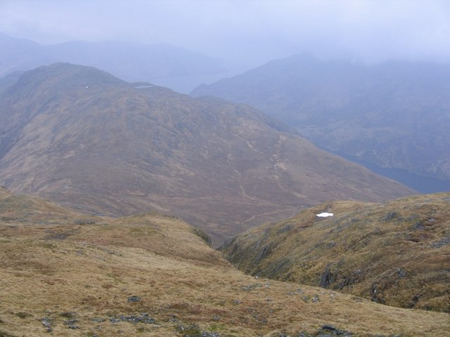
The forest offers numerous trails and paths, allowing visitors to explore its natural wonders. Hiking enthusiasts can embark on the well-marked trails that lead to breathtaking viewpoints, offering panoramic vistas of the surrounding landscape. Additionally, the forest is intersected by a tranquil river, providing opportunities for fishing and peaceful picnics by the water's edge.
Coille Mhinniceig is not only a haven for nature lovers but also a valuable ecosystem that requires conservation efforts. Local authorities have implemented measures to protect and sustain this natural treasure, ensuring that future generations can continue to enjoy its beauty and biodiversity.
Overall, Coille Mhinniceig is a captivating woodland that offers a tranquil escape from the hustle and bustle of daily life. Its diverse flora and fauna, scenic trails, and serene ambiance make it a must-visit destination for nature enthusiasts and those seeking solace in the embrace of nature.
If you have any feedback on the listing, please let us know in the comments section below.
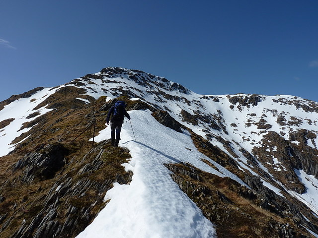
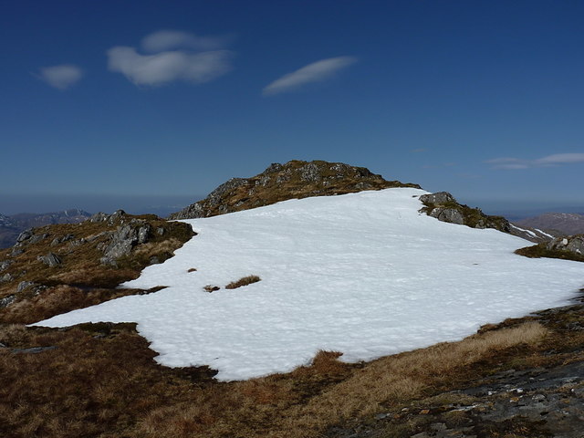
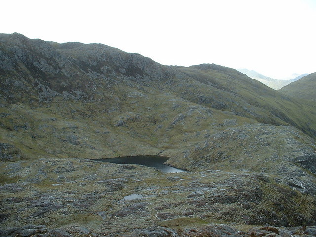
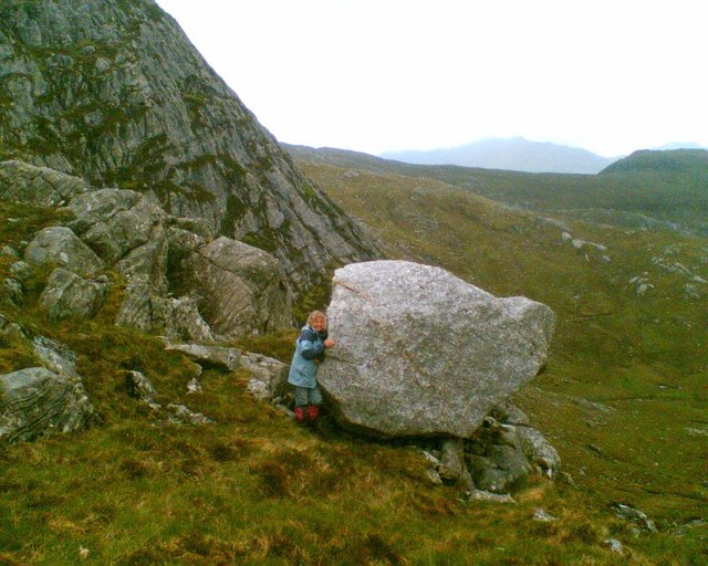
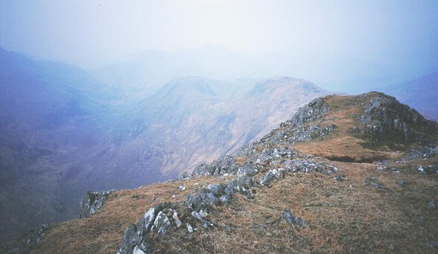
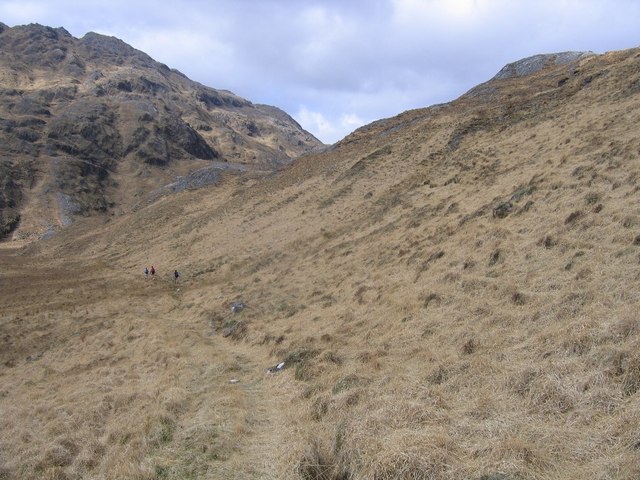
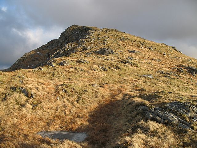
Coille Mhinniceig Images
Images are sourced within 2km of 57.083262/-5.4410111 or Grid Reference NG9104. Thanks to Geograph Open Source API. All images are credited.

Coille Mhinniceig is located at Grid Ref: NG9104 (Lat: 57.083262, Lng: -5.4410111)
Unitary Authority: Highland
Police Authority: Highlands and Islands
What 3 Words
///hiring.reply.defected. Near Glenelg, Highland
Nearby Locations
Related Wikis

Sgùrr nan Eugallt
Sgùrr nan Eugallt is the highest of a well defined group of mountains that lie south of Loch Hourn, stretching from Barrisdale to Loch Quoich. Although...

Sgùrr a' Choire-bheithe
Sgùrr a' Choire-bleithe is a 913-m mountain in the remote Knoydart area of Lochaber, Northwest Highlands, Scotland. It is one of highest Corbetts at 913...

Kinloch Hourn
Kinloch Hourn is a small settlement at the end of Loch Hourn, in the West Highlands of Scotland. The name comes from the Gaelic, Ceann Loch Shubhairne...

Druim Fada (Loch Hourn)
Druim Fada (711 m) is a mountain in the Northwest Highlands of Scotland. Located on the northern shore of Loch Hourn in Ross and Cromarty. A long, craggy...

Luinne Bheinn
Luinne Bheinn (939 m) is a mountain in the Northwest Highlands of Scotland, on the Knoydart Peninsula in Lochaber. The mountain is rough and rocky. The...

Ben Aden
Ben Aden (887m) is a mountain in the Northwest Highlands of Scotland. It lies on the Knoydart peninsula in Lochaber. Regarded as one of the finest Corbetts...
Buidhe Bheinn
Buidhe Bheinn (886 m) is a mountain in the Northwest Highlands of Scotland. It lies between Glen Shiel and Loch Hourn. A rugged mountain, it can either...

Sgùrr a' Mhaoraich
Sgùrr a' Mhaoraich is a Scottish mountain located to the north of Loch Quoich in the north western highlands. It has a height of 1027 m (3369 ft) and is...
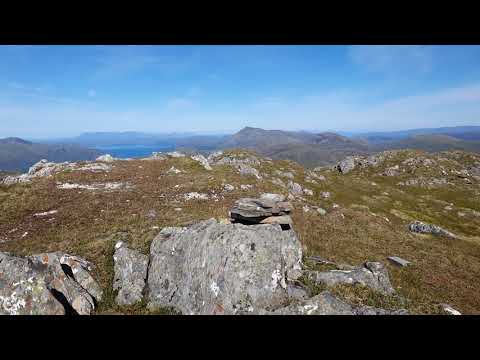
Related Videos

Sgurr nan Eugallt, Kinloch Hourn 08/07/23
Sgùrr nan Eugallt, near Kinloch Hourn. Apologies for the wind noise, strong gusts. Route Description ...

Sgurr a' Choire-bheithe summit plateau view
Panoramic shot at the summit plateau of Sgurr a' Choire-bheithe.
Sgurr nan Eugallt summit view
Panoramic shot from the top of Sgurr nan Eugallt.
Have you been to Coille Mhinniceig?
Leave your review of Coille Mhinniceig below (or comments, questions and feedback).