Calladrum
Settlement in Kincardineshire
Scotland
Calladrum
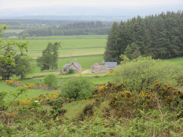
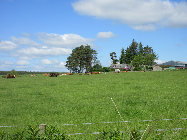
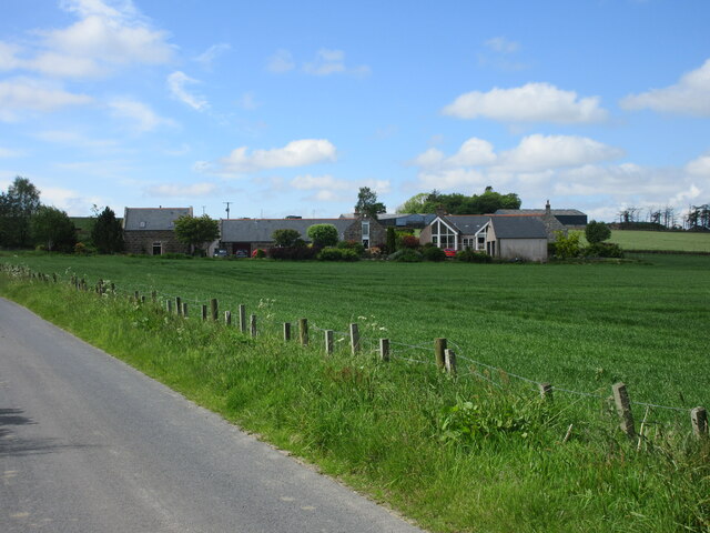
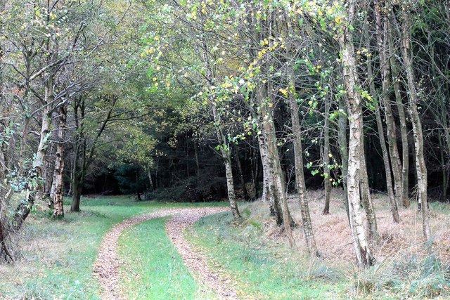
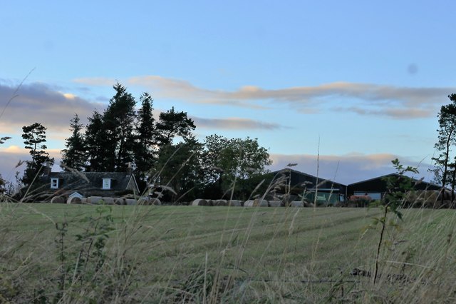
Calladrum is a small rural settlement located in the county of Kincardineshire, Scotland. Situated in the northeastern part of the country, it is nestled amidst picturesque rolling hills and lush green landscapes. The village is part of the larger parish of Fettercairn and is approximately 8 miles southwest of the town of Laurencekirk.
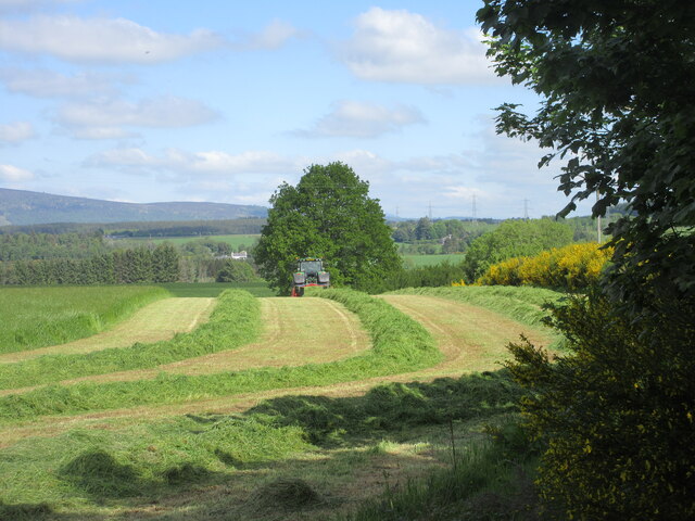
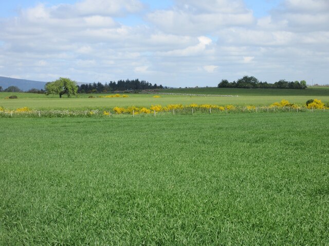
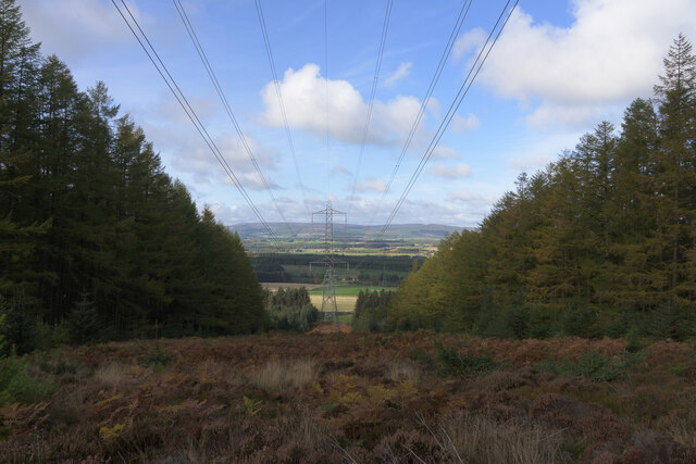
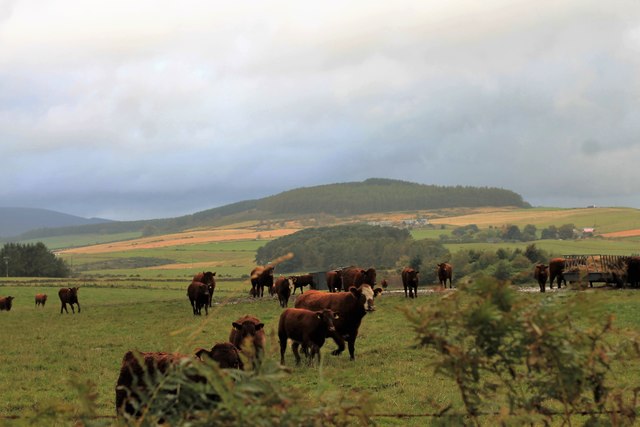
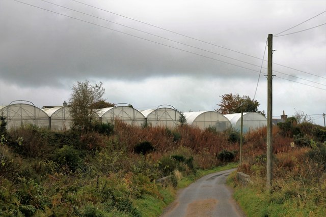
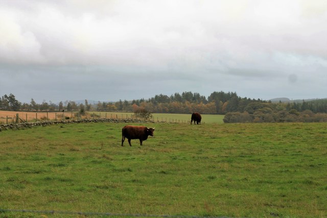
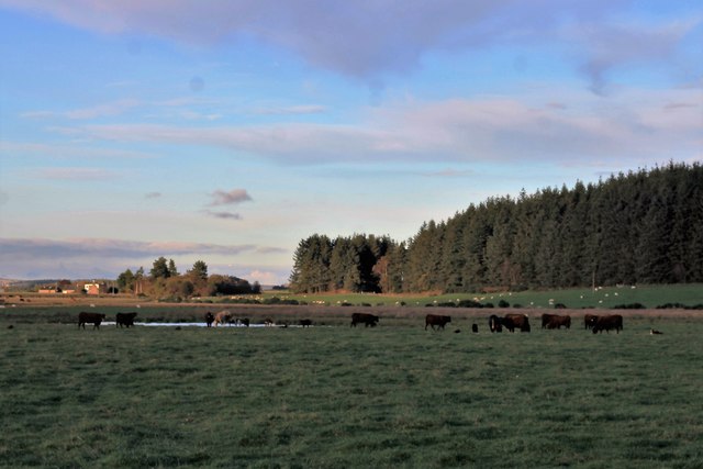
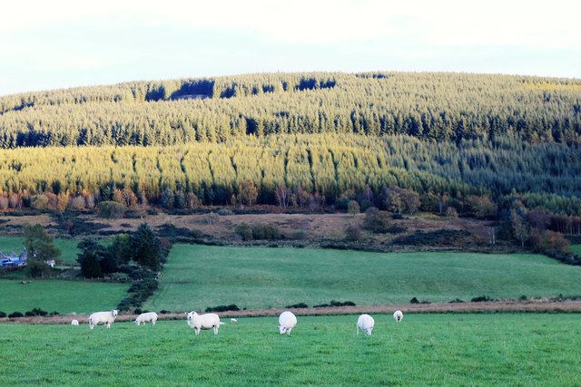
With a population of around 100 residents, Calladrum exudes a tight-knit community atmosphere. It is primarily an agricultural area, with farming being the primary source of income for the locals. The fertile soil and favorable weather conditions make it an ideal place for cultivating crops and rearing livestock.
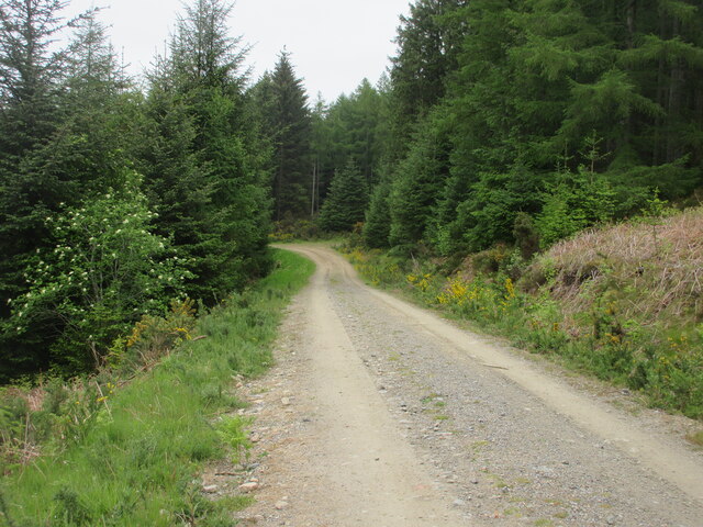
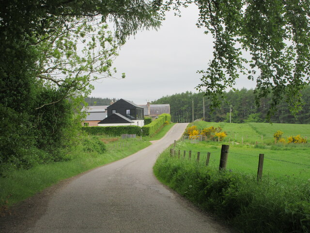
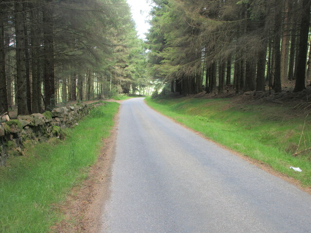
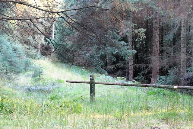
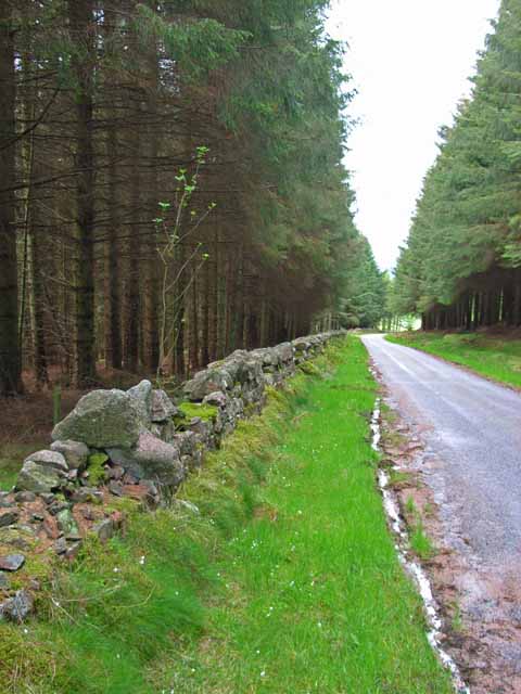
The village itself consists of a handful of charming stone houses and cottages, giving it a traditional Scottish countryside feel. The nearby landscape presents ample opportunities for outdoor activities, such as hiking, cycling, and bird-watching, making Calladrum an attractive destination for nature enthusiasts.
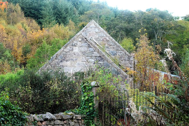
A notable landmark in the vicinity is the historic Fasque House, which is known for its stunning architecture and beautiful gardens. Dating back to the 19th century, it has served as both a private residence and a hotel throughout its history. The house and grounds are occasionally open to the public, allowing visitors to explore its grandeur and learn about its fascinating past.
In terms of amenities, Calladrum has a local pub that serves as a social hub for residents and visitors alike. It provides a cozy environment for gathering and enjoying traditional Scottish cuisine and beverages. However, for more extensive amenities and services, residents often rely on nearby towns such as Laurencekirk or Montrose.
Overall, Calladrum offers a peaceful and idyllic countryside living experience, with its stunning natural surroundings, close-knit community, and rich history.
If you have any feedback on the listing, please let us know in the comments section below.
Calladrum Images
Images are sourced within 2km of 57.036515/-2.3806051 or Grid Reference NO7794. Thanks to Geograph Open Source API. All images are credited.
Calladrum is located at Grid Ref: NO7794 (Lat: 57.036515, Lng: -2.3806051)
Unitary Authority: Aberdeenshire
Police Authority: North East
What 3 Words
///bedrock.skater.catchers. Near Banchory, Aberdeenshire
Nearby Locations
Related Wikis
Durris Forest
Durris Forest is a chiefly coniferous forest south of the River Dee approximately three kilometres west of Netherley in Aberdeenshire, Scotland. The A957...

Lochton
Lochton is a settlement on the Slug Road in Aberdeenshire, Scotland. Roman legions marched from Raedykes to Normandykes Roman Camp somewhat east of Lochton...

Kirkton of Durris
Kirkton of Durris is a hamlet in the Kincardine and Mearns area of Aberdeenshire, Scotland. Historic structures in the vicinity include Maryculter House...
Cairn Mon Earn
Cairn Mon Earn or Cairn-mon-earn is a hill in Aberdeenshire, Scotland. == Location == Cairn Mon Earn (OS: Cairn-mon-earn) lies within the Durris Forest...

Balfour, Aberdeenshire
Balfour (Scottish Gaelic: Baile Phùir), Aberdeenshire is a settlement on Royal Deeside in Aberdeenshire, Scotland. Balfour lies south of the River Dee...

Durris Castle
Durris Castle or the House of Dores was an early royal residence on the southern bank of the River Dee in Aberdeenshire, Scotland. The castle controlled...

Mills of Drum railway station
Mills of Drum railway station was opened in September 1853 by the Deeside Railway and served the rural area around Park House and Crathes estates at the...
Banchory St Ternan F.C.
Banchory St. Ternan Football Club are a Scottish Junior football club based in Crathes, two miles outside the town of Banchory, Aberdeenshire. The club...
Nearby Amenities
Located within 500m of 57.036515,-2.3806051Have you been to Calladrum?
Leave your review of Calladrum below (or comments, questions and feedback).