Calladrum Wood

Wood, Forest in Kincardineshire

Scotland

Calladrum Wood

Gennell Farm Looking down on Gennell from the track on the edge of Durris Forest.
Gennell Farm Credit: Scott Cormie

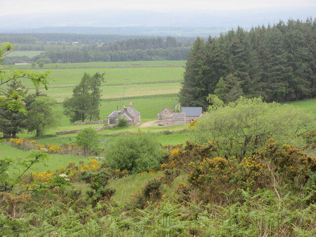
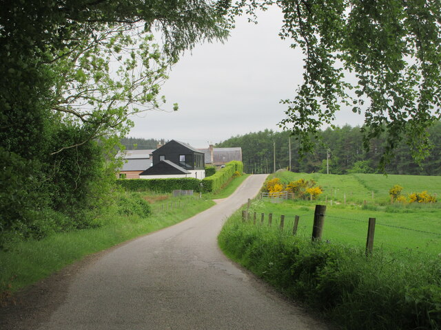
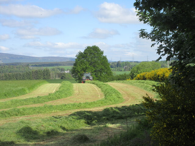
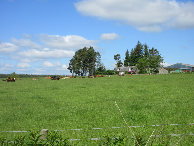
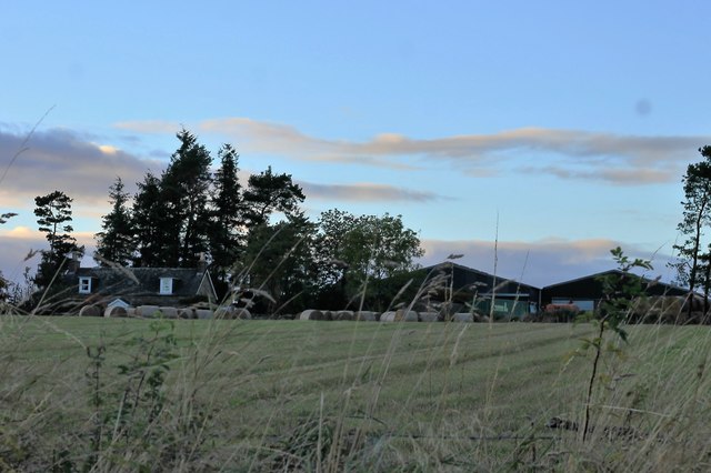
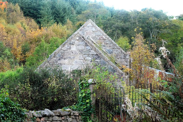
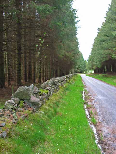
Calladrum Wood is a picturesque woodland located in Kincardineshire, Scotland. Covering an area of approximately 200 acres, it is known for its diverse range of flora and fauna, making it an important site for nature lovers and conservationists. The wood is situated near the village of Laurencekirk and is easily accessible for visitors.

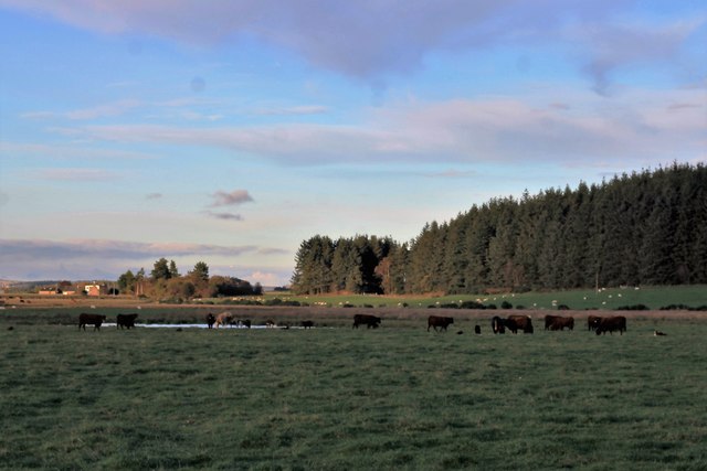
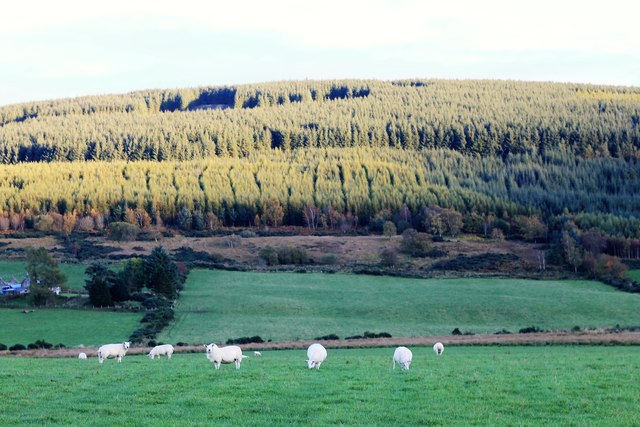
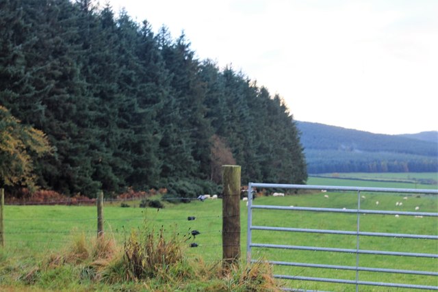
The predominant tree species found in Calladrum Wood include oak, birch, and pine, creating a rich and varied habitat for wildlife. The woodland floor is carpeted with wildflowers such as bluebells, primroses, and wood sorrels during the spring season, adding a burst of color to the landscape.

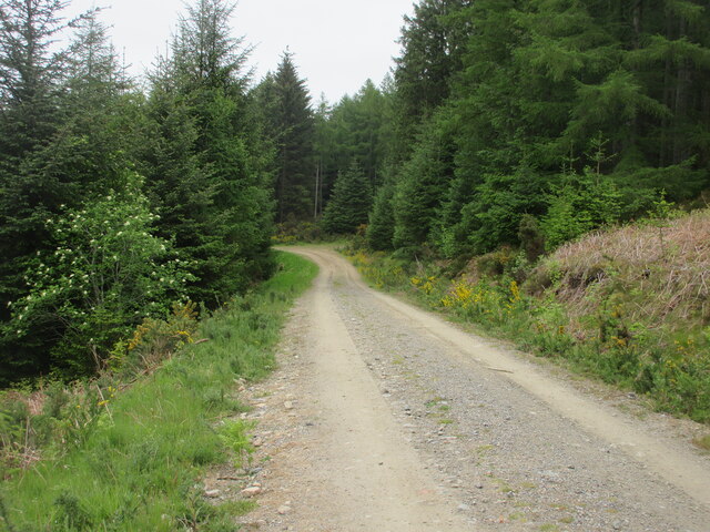
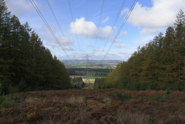
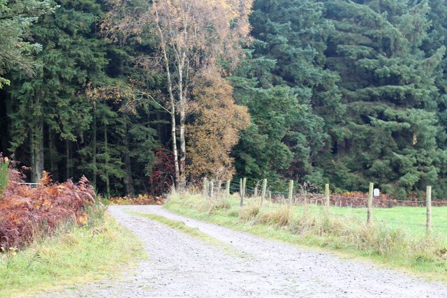
Several walking trails have been established within the wood, allowing visitors to explore its beauty at their own pace. These trails wind through the trees and offer stunning views of the surrounding countryside. Birdwatchers will be delighted to spot a variety of avian species, including the great spotted woodpecker, tawny owl, and various songbirds.

Calladrum Wood is also home to a diverse range of mammals, including red squirrels, roe deer, and badgers. Nature enthusiasts may even catch a glimpse of the elusive pine marten or otter if they are lucky.

The wood is managed by a local conservation organization, ensuring its preservation and protection for future generations. Educational programs and guided walks are occasionally offered, providing an opportunity for visitors to learn more about the woodland ecosystem and its importance in the local environment.

Overall, Calladrum Wood in Kincardineshire is a haven for nature lovers, offering a tranquil escape into the beauty of Scotland's natural landscape.

If you have any feedback on the listing, please let us know in the comments section below.

Calladrum Wood Images

Images are sourced within 2km of 57.043592/-2.3661088 or Grid Reference NO7794. Thanks to Geograph Open Source API. All images are credited.

Gennell Farm Looking down on Gennell from the track on the edge of Durris Forest.
Gennell Farm
Looking down on Gennell from the track on the edge of Durris Forest.
Durris Forest Track Track on the north-western side of Durris Forest near Target Wood.
Durris Forest Track
Track on the north-western side of Durris Forest near Target Wood.
Meikle Tulloch Looking along the road on the northern edge of Durris Forest towards Meikle Tulloch.
Meikle Tulloch
Looking along the road on the northern edge of Durris Forest towards Meikle Tulloch.
Durris School Durris Primary School at the Woodlands of Durris.
Durris School
Durris Primary School at the Woodlands of Durris.
Grass cutting near Durris A field being shorn of grass near Funach Wood at Durris.
Grass cutting near Durris
A field being shorn of grass near Funach Wood at Durris.
Cattle at East Funach Resting cattle in a field with East Funach in the background.
Cattle at East Funach
Resting cattle in a field with East Funach in the background.
Lines of power
Lines of power
Kirkton Hall Kirkton Hall is situated just 14 miles west of Aberdeen in Kirkton of Durris. It stands on the edge of Durris Forest just 50 metres from the South Deeside Road (B9077). The hall has been completely refurbished, transforming it into a modern venue with all the charm of a period building. It is managed and maintained to a very high standard by enthusiastic local volunteers.
Kirkton Hall
Kirkton Hall is situated just 14 miles west of Aberdeen in Kirkton of Durris. It stands on the edge of Durris Forest just 50 metres from the South Deeside Road (B9077). The hall has been completely refurbished, transforming it into a modern venue with all the charm of a period building. It is managed and maintained to a very high standard by enthusiastic local volunteers.
South Deeside Road
South Deeside Road
Power over the Dee
Power over the Dee
Cattle by a Pool Cattle grazing by Calladrum.
Cattle by a Pool
Cattle grazing by Calladrum.
Sheep Pasture Sheep grazing with the woods of Mundernal behind
Sheep Pasture
Sheep grazing with the woods of Mundernal behind
East Funach East Funach farm from the roadside.
East Funach
East Funach farm from the roadside.
Kirkton Sawmill The disused and neglected saw mill of Kirkton Wood, Durris.
Kirkton Sawmill
The disused and neglected saw mill of Kirkton Wood, Durris.
Gennell Farm Road The road to Gennell Farm by Target Wood.
Gennell Farm Road
The road to Gennell Farm by Target Wood.
Target Wood Target Wood and sheep grazing in at field by Gennell.
Target Wood
Target Wood and sheep grazing in at field by Gennell.
Calladrum  Farmhouse Calladrum from the roadhouse with a pylon behind.
Calladrum Farmhouse
Calladrum from the roadhouse with a pylon behind.
Calladrum Cattle Cattle at Calladrum Farm looking out behind pens.
Calladrum Cattle
Cattle at Calladrum Farm looking out behind pens.
Show me another place!

Calladrum Wood is located at Grid Ref: NO7794 (Lat: 57.043592, Lng: -2.3661088)

Unitary Authority: Aberdeenshire

Police Authority: North East

What 3 Words

///bottom.reserving.decompose. Near Banchory, Aberdeenshire

Related Wikis

Kirkton of Durris

Kirkton of Durris is a hamlet in the Kincardine and Mearns area of Aberdeenshire, Scotland. == Structures == Historic structures in the vicinity include...

Balfour, Aberdeenshire

Balfour (Scottish Gaelic: Baile Phùir), Aberdeenshire is a settlement on Royal Deeside in Aberdeenshire, Scotland. Balfour lies south of the River Dee...

Durris Forest

Durris Forest is a chiefly coniferous forest south of the River Dee approximately three kilometres west of Netherley in Aberdeenshire, Scotland. The A957...

Durris Castle

Durris Castle or the House of Dores was an early royal residence on the southern bank of the River Dee in Aberdeenshire, Scotland. The castle controlled...

Nearby Amenities

Located within 500m of 57.043592,-2.3661088
Ford: yes
Lat/Long: 57.0450437/-2.3732474
Power: pole
Lat/Long: 57.0461925/-2.3604665
Power: pole
Lat/Long: 57.0459489/-2.3617023
Power: pole
Lat/Long: 57.0457403/-2.3627511
Power: pole
Lat/Long: 57.0454607/-2.3641286
Power: pole
Lat/Long: 57.0451903/-2.3656933
Power: pole
Lat/Long: 57.0449169/-2.3673713
Power: pole
Lat/Long: 57.0445201/-2.3683237
Power: pole
Lat/Long: 57.0441202/-2.3692817
Power: pole
Lat/Long: 57.0437131/-2.3702417
Power: pole
Lat/Long: 57.0433091/-2.3712149
Power: pole
Lat/Long: 57.0428794/-2.3722598
Power: pole
Lat/Long: 57.0427386/-2.3725943
Power: pole
Lat/Long: 57.0423017/-2.3736695
Power: pole
Lat/Long: 57.0461874/-2.3679722
Power: pole
Lat/Long: 57.0455891/-2.3676831
Power: pole
Lat/Long: 57.0424929/-2.3670482
Power: pole
Lat/Long: 57.0431128/-2.3671313
Power: pole
Lat/Long: 57.0437173/-2.3672031
Power: pole
Lat/Long: 57.0443207/-2.3672882
Power: pole
Lat/Long: 57.043818/-2.3622787
Power: pole
Lat/Long: 57.0437142/-2.3629571
Power: pole
Lat/Long: 57.0443351/-2.3633784
Power: pole
Lat/Long: 57.0449559/-2.3637923
The data included in this document is from www.openstreetmap.org. The data is made available under ODbL.

Have you been to Calladrum Wood?

Leave your review of Calladrum Wood below (or comments, questions and feedback).