Calladrum Den

Valley in Kincardineshire

Scotland

Calladrum Den

Gennell Farm Looking down on Gennell from the track on the edge of Durris Forest.
Gennell Farm Credit: Scott Cormie

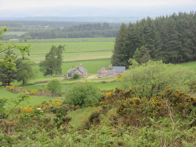
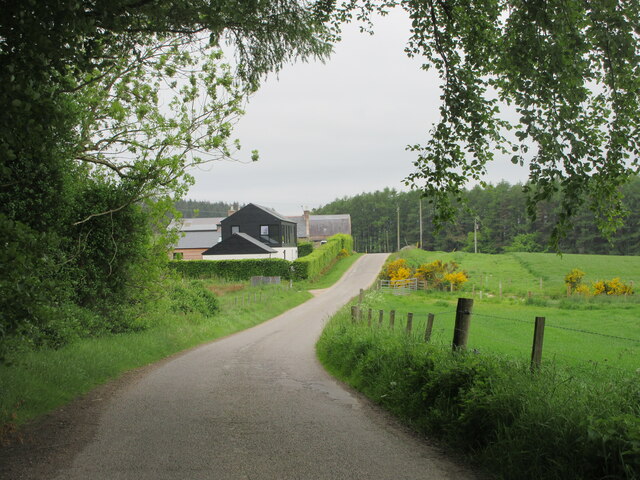
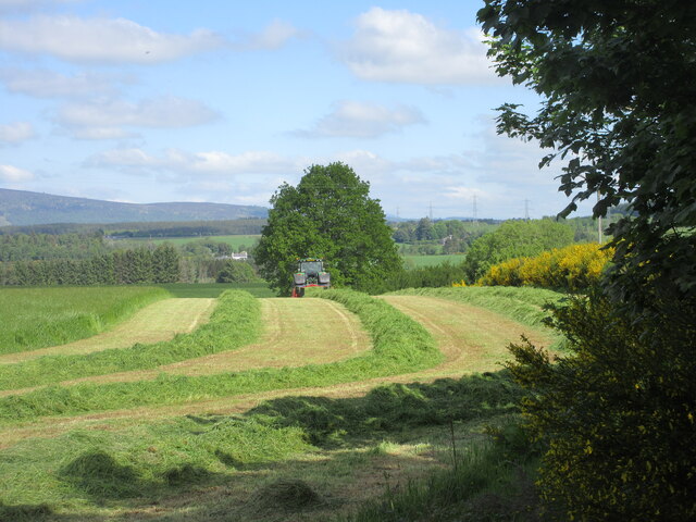
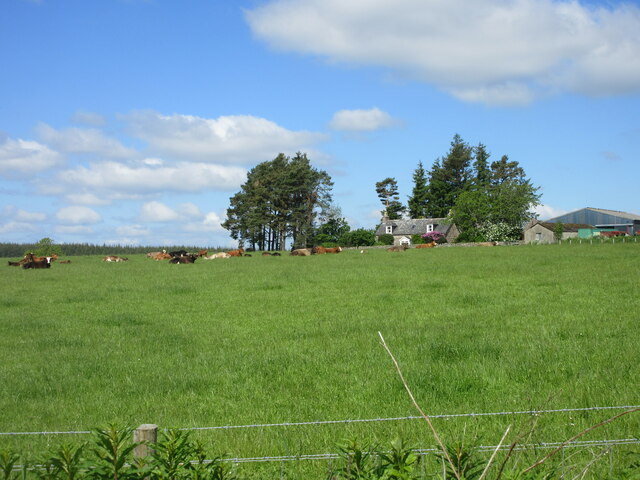
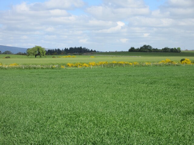
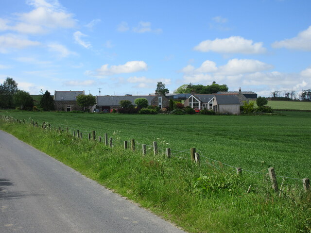
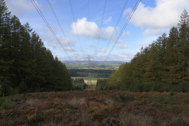
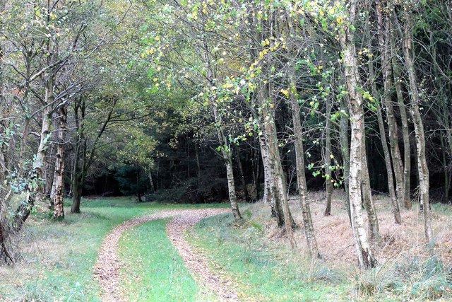
Calladrum Den, located in Kincardineshire, Scotland, is a picturesque valley renowned for its natural beauty and rich biodiversity. Nestled between the villages of Marykirk and Laurencekirk, the den stretches for approximately one mile, encompassing a diverse range of habitats.

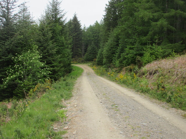
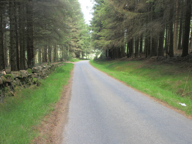
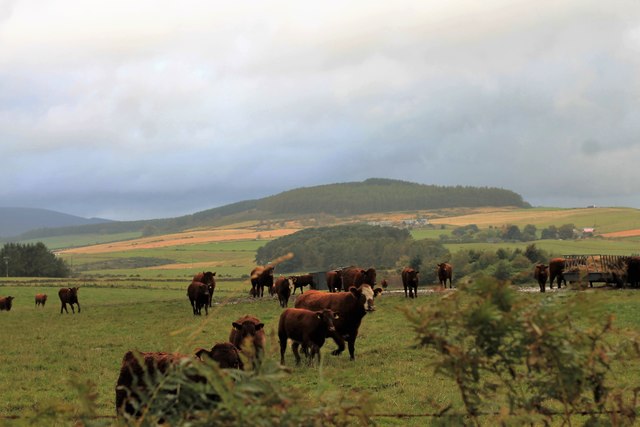
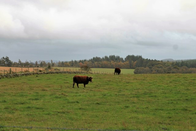
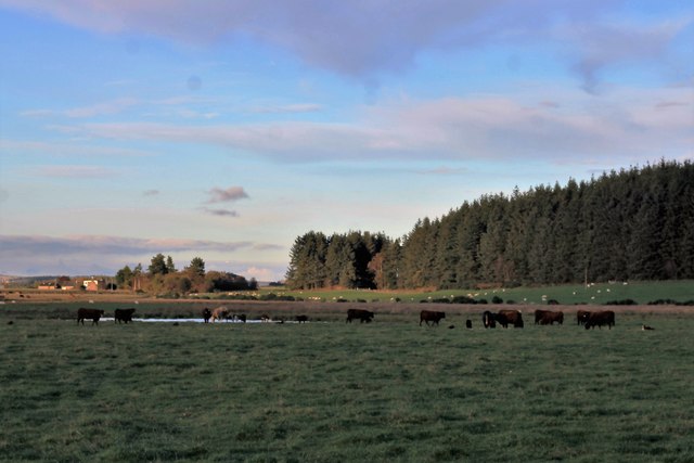
The den is characterized by its steep, wooded slopes, which are home to a variety of tree species, including oak, ash, and birch. These woodlands provide a haven for an array of wildlife, such as red squirrels, roe deer, and numerous bird species, including woodpeckers and owls.

A small stream meanders through the valley, creating a tranquil and soothing atmosphere. The stream is an important habitat for aquatic species, including brown trout and various invertebrates, such as dragonflies and damselflies.

Visitors can explore the den through a network of well-maintained footpaths, which offer stunning views of the surrounding countryside. The paths wind through the trees, leading to a picturesque waterfall that cascades down a rocky outcrop, adding to the area's charm and allure.

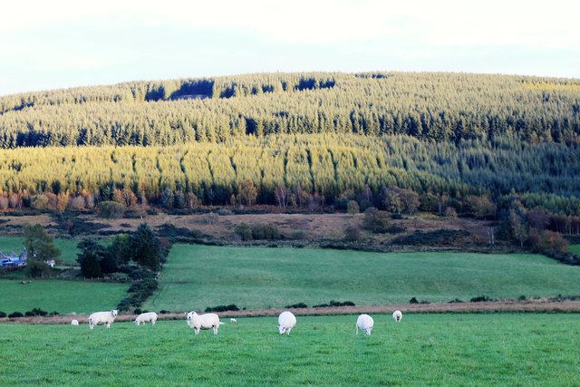
Calladrum Den is a popular destination for nature enthusiasts, hikers, and photographers, who are drawn to its natural splendor and peaceful ambiance. The valley offers a unique opportunity to experience the tranquility of nature and immerse oneself in the beauty of the Scottish landscape.

With its diverse flora and fauna, stunning scenery, and accessibility, Calladrum Den is a hidden gem in Kincardineshire, providing a haven for both wildlife and visitors seeking a peaceful retreat in nature.

If you have any feedback on the listing, please let us know in the comments section below.

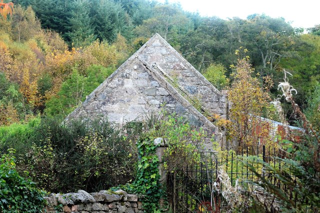
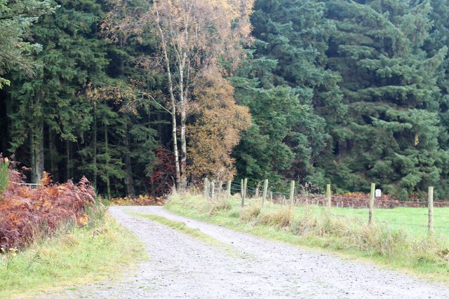
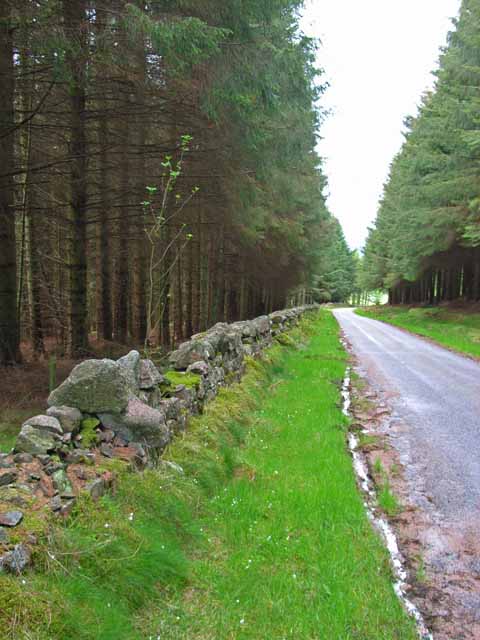
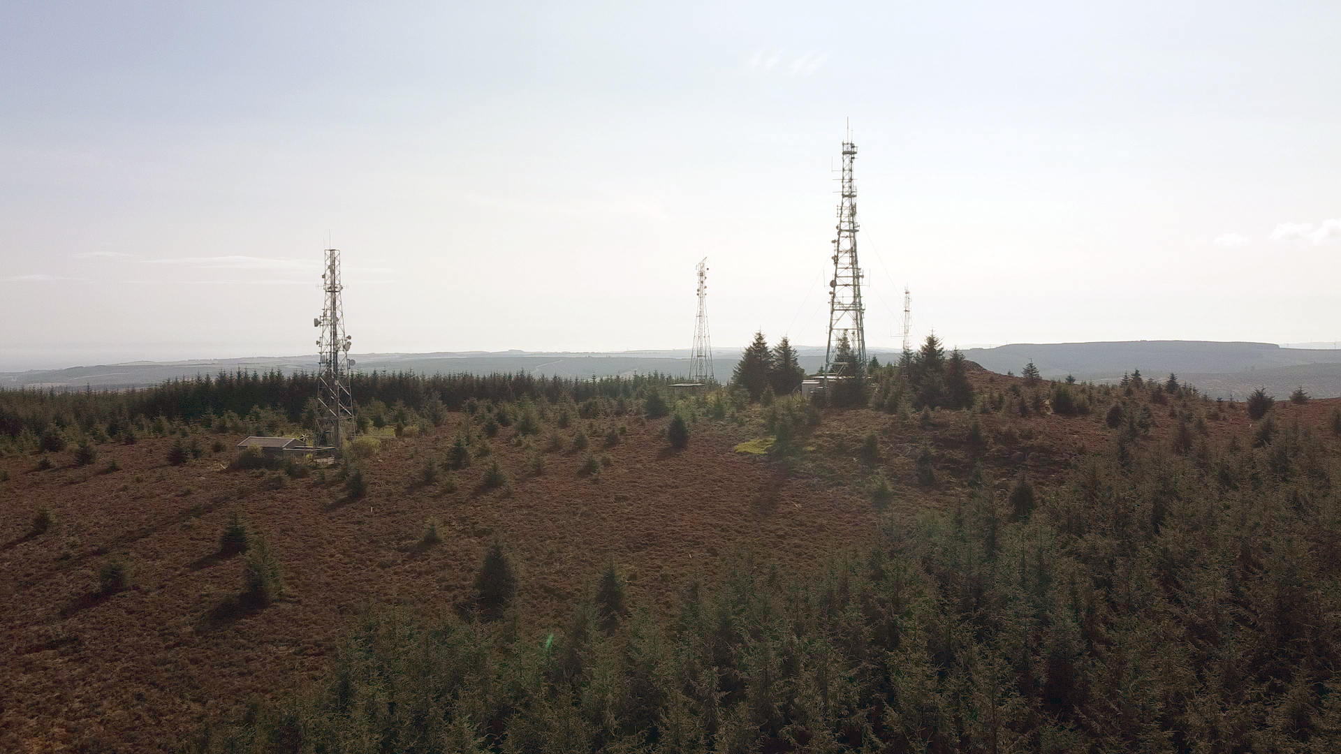
Calladrum Den Images

Images are sourced within 2km of 57.037589/-2.3790507 or Grid Reference NO7794. Thanks to Geograph Open Source API. All images are credited.

Gennell Farm Looking down on Gennell from the track on the edge of Durris Forest.
Gennell Farm
Looking down on Gennell from the track on the edge of Durris Forest.
Durris Forest Track Track on the north-western side of Durris Forest near Target Wood.
Durris Forest Track
Track on the north-western side of Durris Forest near Target Wood.
Meikle Tulloch Looking along the road on the northern edge of Durris Forest towards Meikle Tulloch.
Meikle Tulloch
Looking along the road on the northern edge of Durris Forest towards Meikle Tulloch.
Grass cutting near Durris A field being shorn of grass near Funach Wood at Durris.
Grass cutting near Durris
A field being shorn of grass near Funach Wood at Durris.
Cattle at East Funach Resting cattle in a field with East Funach in the background.
Cattle at East Funach
Resting cattle in a field with East Funach in the background.
Fields to the west of Durris Forest Looking north over a field near Inchloan to the west of Durris Forest.
Fields to the west of Durris Forest
Looking north over a field near Inchloan to the west of Durris Forest.
Inchloan from the north-east Looking south-west from the roadside to Inchloan.
Inchloan from the north-east
Looking south-west from the roadside to Inchloan.
Minor road through Durris Forest Minor road heading downhill northwards from the A957 Slug Road through the western fringe of Durris Forest.
Minor road through Durris Forest
Minor road heading downhill northwards from the A957 Slug Road through the western fringe of Durris Forest.
Lines of power
Lines of power
Cattle by Lochton Cattle in a field by Lochton from the Wardend road.
Cattle by Lochton
Cattle in a field by Lochton from the Wardend road.
Crossing the Sheeoch A bridge over the Sheeoch Burn and poly tunnels by Wardend Cottages.
Crossing the Sheeoch
A bridge over the Sheeoch Burn and poly tunnels by Wardend Cottages.
Cattle at Wardend Cattle in a field by Wardend Cottages.
Cattle at Wardend
Cattle in a field by Wardend Cottages.
Cairnfauld Path A path entering Cainfauld Wood.
Cairnfauld Path
A path entering Cainfauld Wood.
Cattle by a Pool Cattle grazing by Calladrum.
Cattle by a Pool
Cattle grazing by Calladrum.
Sheep Pasture Sheep grazing with the woods of Mundernal behind
Sheep Pasture
Sheep grazing with the woods of Mundernal behind
East Funach East Funach farm from the roadside.
East Funach
East Funach farm from the roadside.
Kirkton Sawmill The disused and neglected saw mill of Kirkton Wood, Durris.
Kirkton Sawmill
The disused and neglected saw mill of Kirkton Wood, Durris.
Gennell Farm Road The road to Gennell Farm by Target Wood.
Gennell Farm Road
The road to Gennell Farm by Target Wood.
Show me another place!

Calladrum Den is located at Grid Ref: NO7794 (Lat: 57.037589, Lng: -2.3790507)

Unitary Authority: Aberdeenshire

Police Authority: North East

What 3 Words

///attending.clocked.answer. Near Banchory, Aberdeenshire

Related Wikis

Kirkton of Durris

Kirkton of Durris is a hamlet in the Kincardine and Mearns area of Aberdeenshire, Scotland. Historic structures in the vicinity include Maryculter House...

Durris Forest

Durris Forest is a chiefly coniferous forest south of the River Dee approximately three kilometres west of Netherley in Aberdeenshire, Scotland. The A957...

Lochton

Lochton is a settlement on the Slug Road in Aberdeenshire, Scotland. Roman legions marched from Raedykes to Normandykes Roman Camp somewhat east of Lochton...

Cairn Mon Earn

Cairn Mon Earn or Cairn-mon-earn is a hill in Aberdeenshire, Scotland. == Location == Cairn Mon Earn (OS: Cairn-mon-earn) lies within the Durris Forest...

Nearby Amenities

Located within 500m of 57.037589,-2.3790507
Power: pole
Lat/Long: 57.0411801/-2.3761355
Power: pole
Lat/Long: 57.0406887/-2.3771125
Power: pole
Lat/Long: 57.040258/-2.3779458
Power: pole
Lat/Long: 57.0399938/-2.3792705
Power: pole
Lat/Long: 57.0397522/-2.3804421
Power: pole
Lat/Long: 57.0394746/-2.3817629
Power: pole
Lat/Long: 57.0390736/-2.3829704
Power: pole
Lat/Long: 57.038759/-2.3838397
Power: pole
Lat/Long: 57.0383169/-2.3850869
Power: pole
Lat/Long: 57.0379632/-2.3860714
Power: pole
Lat/Long: 57.0375705/-2.3871995
Power: pole
Lat/Long: 57.0356684/-2.3865098
Power: pole
Lat/Long: 57.035364/-2.3855139
Power: pole
Lat/Long: 57.03507/-2.384537
Power: pole
Lat/Long: 57.0345816/-2.3836677
Power: pole
Lat/Long: 57.0340942/-2.3828249
Power: pole
Lat/Long: 57.0336078/-2.3819633
The data included in this document is from www.openstreetmap.org. The data is made available under ODbL.

Have you been to Calladrum Den?

Leave your review of Calladrum Den below (or comments, questions and feedback).