New Inn Brake
Wood, Forest in Monmouthshire
Wales
New Inn Brake
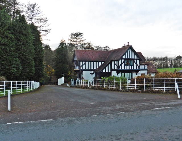
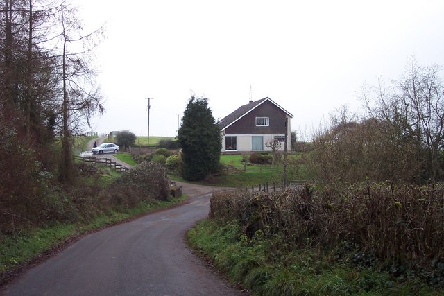
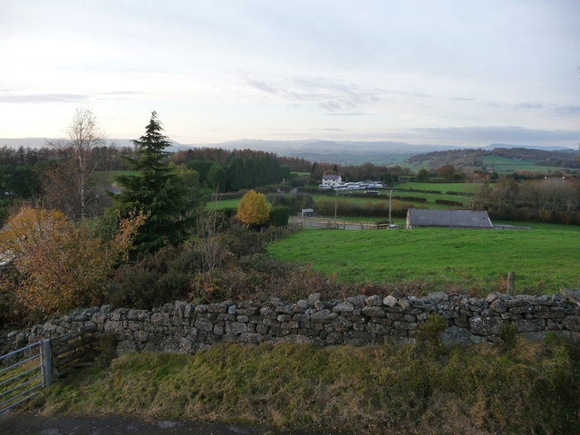
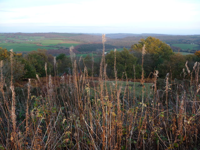
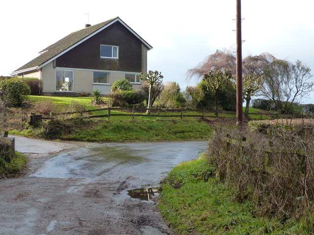
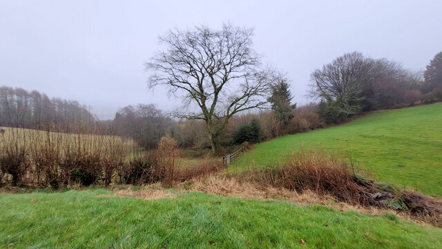
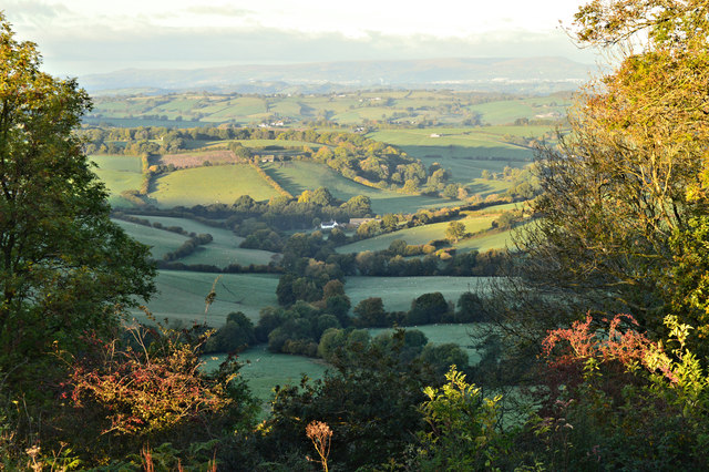
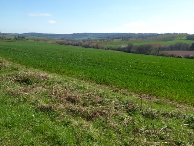
New Inn Brake is a picturesque woodland area located in Monmouthshire, Wales. Covering an area of approximately 150 acres, this ancient forest is a haven for nature lovers and outdoor enthusiasts. The woodland is predominantly made up of broadleaf trees, including oak, beech, and ash, which create a dense and verdant canopy overhead.
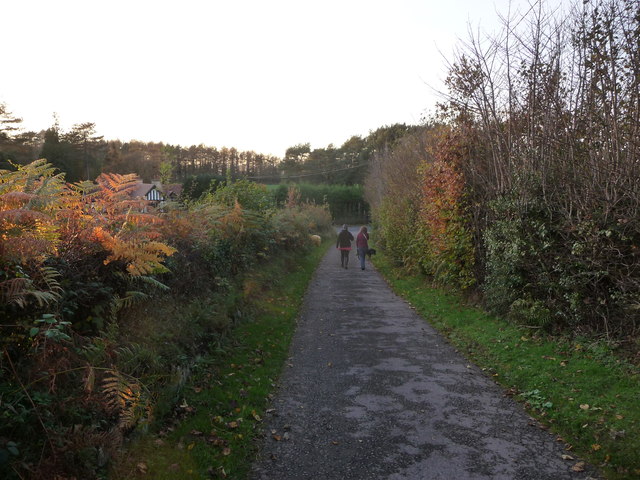
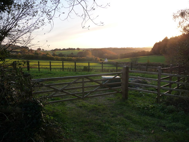
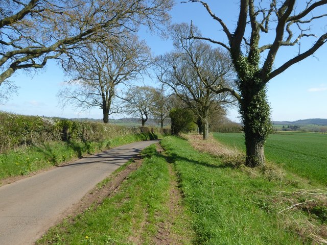
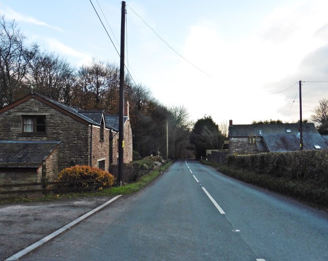
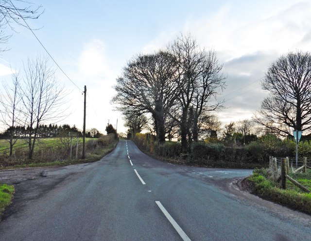
The forest is crisscrossed with a network of well-maintained footpaths and trails, making it an ideal destination for walking, hiking, and cycling. These trails lead visitors through a variety of different habitats, including open glades, dense thickets, and tranquil ponds. The diverse range of flora and fauna found in New Inn Brake makes it a site of great ecological importance.
Wildlife enthusiasts will be delighted by the array of species that call this forest home. Birdwatchers can spot a variety of native and migratory birds, such as woodpeckers, jays, and chiffchaffs. Small mammals, including squirrels and voles, scurry through the undergrowth, while deer can occasionally be spotted grazing in the more open areas.
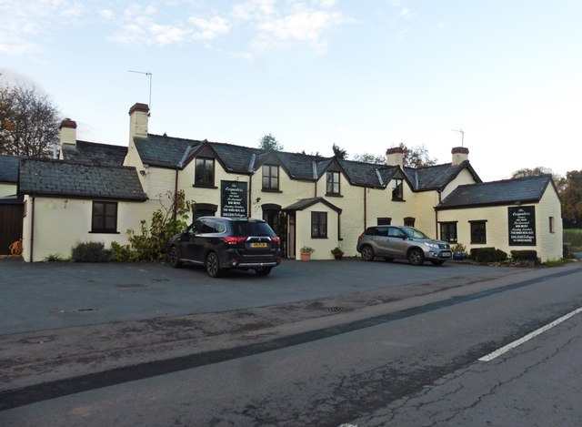
New Inn Brake is a popular destination for families and nature lovers, offering a peaceful and tranquil escape from the hustle and bustle of everyday life. The forest is also home to a visitor center, where visitors can learn more about the local wildlife and history of the area. With its breathtaking natural beauty and abundant wildlife, New Inn Brake is a true gem in the heart of Monmouthshire.
If you have any feedback on the listing, please let us know in the comments section below.
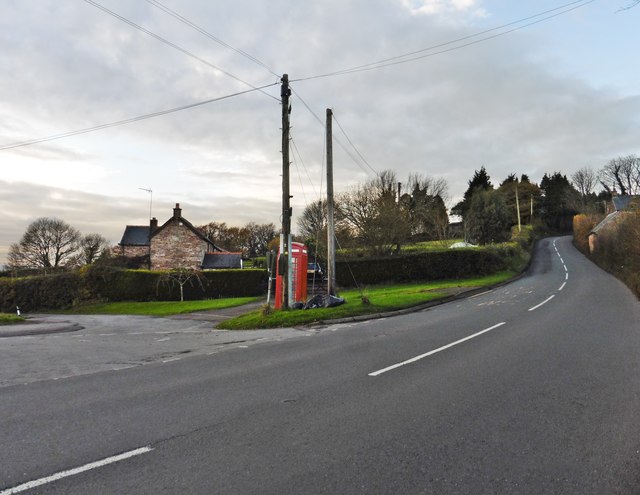
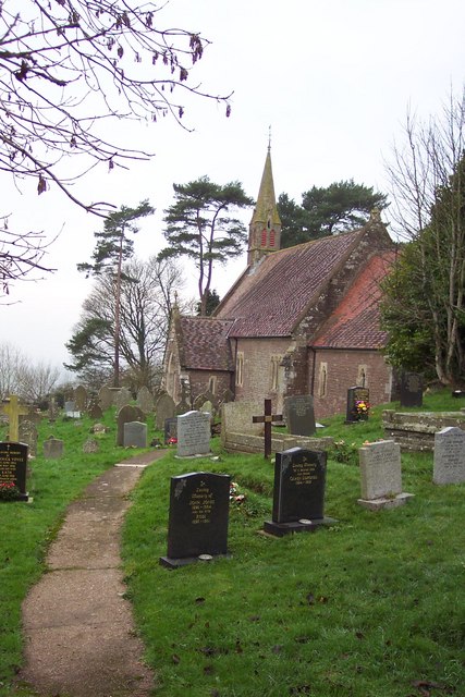
New Inn Brake Images
Images are sourced within 2km of 51.707757/-2.7518528 or Grid Reference SO4801. Thanks to Geograph Open Source API. All images are credited.

New Inn Brake is located at Grid Ref: SO4801 (Lat: 51.707757, Lng: -2.7518528)
Unitary Authority: Monmouthshire
Police Authority: Gwent
What 3 Words
///rinsed.remission.solutions. Near Tintern, Monmouthshire
Nearby Locations
Related Wikis

Trelleck Grange
Trelleck Grange (or Trellech Grange) is a small hamlet in a rural area of Monmouthshire, south east Wales, United Kingdom, about seven miles south of Monmouth...

St Michael's Church, Llanfihangel Tor-y-Mynydd
The Church of St Michael, Llanfihangel Tor-y-Mynydd, Monmouthshire is a parish church with its origins in the 14th or 15th century. A Grade II* listed...
Llanishen, Monmouthshire
Llanishen (Welsh: Llanisien) is a village in Monmouthshire, southeast Wales, United Kingdom. It is located 7 miles (11 km) southwest of Monmouth and 3...

Tredean House, Devauden
Tredean House, Devauden, Monmouthshire is a country house dating from 1901 to 1902. It was designed in an Arts and Crafts style by the architect Arthur...

Devauden
Devauden (Welsh: Y Dyfawden) is a village and community in Monmouthshire, southeast Wales. It is located between Chepstow and Monmouth near the top of...

Llanfihangel Tor-y-Mynydd
Llanfihangel Tor-y-Mynydd (or more correctly Llanfihangel-tor-y-mynydd, meaning, in Welsh, "the church of St. Michael on the breast of the mountain") is...

Hygga House Dovecote, Trellech
The Dovecote, Hygga, Trellech, Monmouthshire is a late 16th-century dovecote, in an unusually complete state of preservation. Part of the service buildings...

Cross at Croes Llwyd Farm, Raglan
The Cross at Croes Llwyd Farm, Raglan, Monmouthshire is a medieval cross which indicated a boundary of the Lordship of Raglan. As a rare medieval survival...
Nearby Amenities
Located within 500m of 51.707757,-2.7518528Have you been to New Inn Brake?
Leave your review of New Inn Brake below (or comments, questions and feedback).