Cobbler's Plain
Downs, Moorland in Monmouthshire
Wales
Cobbler's Plain
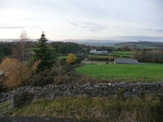
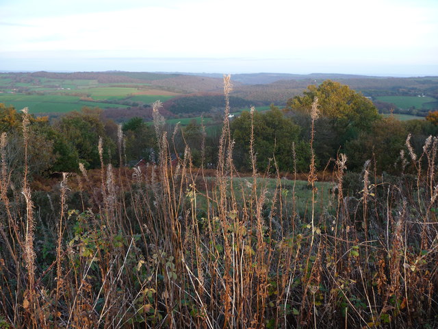
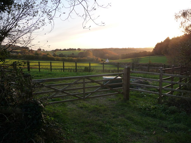
Cobbler's Plain is a vast expanse of moorland located in Monmouthshire, Wales. Situated in the southern part of the county, this area of natural beauty stretches across approximately 500 acres. The plain is characterized by its undulating terrain, featuring rolling hills and expansive open spaces.
Cobbler's Plain is known for its remarkable biodiversity and abundant wildlife. The moorland is home to a variety of plant species, including heather, gorse, and grasses, which create a vibrant and colorful landscape throughout the year. The area also boasts a rich birdlife, with species such as skylarks, curlews, and peregrine falcons frequently spotted soaring above the plain.
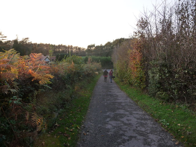
The plain's remote and unspoiled nature makes it a popular destination for hikers, nature enthusiasts, and birdwatchers. Numerous footpaths crisscross the moorland, allowing visitors to explore its unique beauty and enjoy breathtaking views of the surrounding countryside. Additionally, the plain serves as a gateway to the nearby Black Mountains, offering opportunities for further exploration and outdoor activities.
Cobbler's Plain holds historical significance as well. The area has archaeological remains dating back to the Bronze Age, including burial mounds and stone circles, providing a glimpse into the ancient past of Monmouthshire.
Overall, Cobbler's Plain is a captivating destination that showcases the natural splendor of Monmouthshire. Its tranquil atmosphere, diverse wildlife, and stunning landscapes make it a must-visit location for those seeking a connection with nature and a taste of Wales' rich history.
If you have any feedback on the listing, please let us know in the comments section below.
Cobbler's Plain Images
Images are sourced within 2km of 51.705876/-2.7535727 or Grid Reference SO4801. Thanks to Geograph Open Source API. All images are credited.


Cobbler's Plain is located at Grid Ref: SO4801 (Lat: 51.705876, Lng: -2.7535727)
Unitary Authority: Monmouthshire
Police Authority: Gwent
What 3 Words
///wiggles.brownish.friends. Near Tintern, Monmouthshire
Nearby Locations
Related Wikis

Trelleck Grange
Trelleck Grange (or Trellech Grange) is a small hamlet in a rural area of Monmouthshire, south east Wales, United Kingdom, about seven miles south of Monmouth...

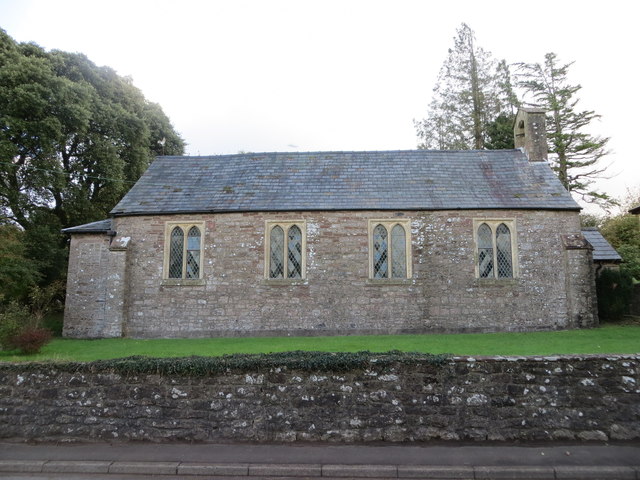
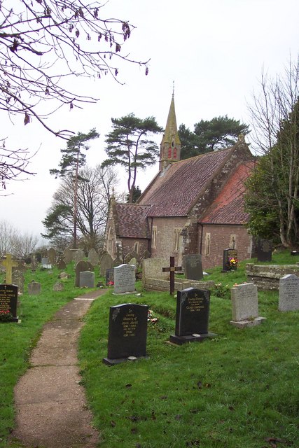
St Michael's Church, Llanfihangel Tor-y-Mynydd
The Church of St Michael, Llanfihangel Tor-y-Mynydd, Monmouthshire is a parish church with its origins in the 14th or 15th century. A Grade II* listed...

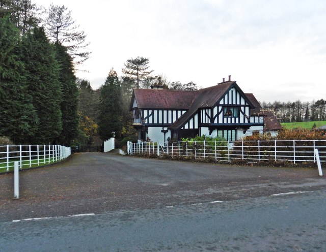
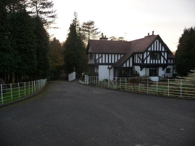
Tredean House, Devauden
Tredean House, Devauden, Monmouthshire is a country house dating from 1901 to 1902. It was designed in an Arts and Crafts style by the architect Arthur...

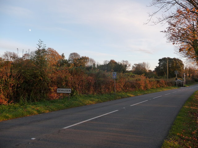
Devauden
Devauden (Welsh: Y Dyfawden) is a village and community in Monmouthshire, southeast Wales. It is located between Chepstow and Monmouth near the top of...
Llanishen, Monmouthshire
Llanishen (Welsh: Llanisien) is a village in Monmouthshire, southeast Wales, United Kingdom. It is located 7 miles (11 km) southwest of Monmouth and 3...

Llanfihangel Tor-y-Mynydd
Llanfihangel Tor-y-Mynydd (or more correctly Llanfihangel-tor-y-mynydd, meaning, in Welsh, "the church of St. Michael on the breast of the mountain") is...

Hygga House Dovecote, Trellech
The Dovecote, Hygga, Trellech, Monmouthshire is a late 16th-century dovecote, in an unusually complete state of preservation. Part of the service buildings...

Cross at Croes Llwyd Farm, Raglan
The Cross at Croes Llwyd Farm, Raglan, Monmouthshire is a medieval cross which indicated a boundary of the Lordship of Raglan. As a rare medieval survival...
Nearby Amenities
Located within 500m of 51.705876,-2.7535727Have you been to Cobbler's Plain?
Leave your review of Cobbler's Plain below (or comments, questions and feedback).