Cinder Patch

Wood, Forest in Monmouthshire

Wales

Cinder Patch

Lodge house at Tredene
Lodge house at Tredene Credit: Roger Cornfoot

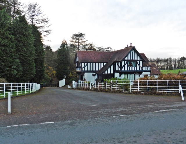
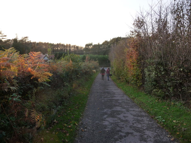
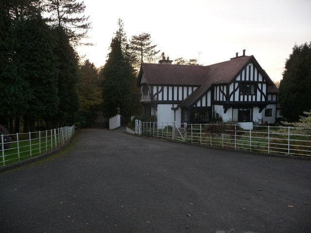
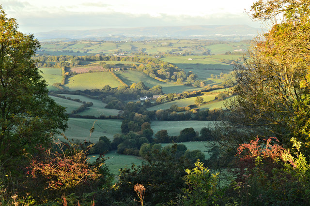
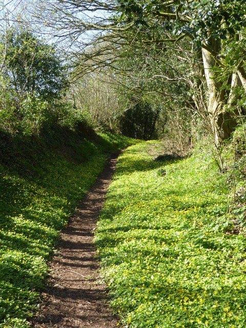
Cinder Patch, located in Monmouthshire, is a picturesque woodland area known for its natural beauty and serene atmosphere. Situated in the heart of the county, this enchanting forest is a popular destination among nature enthusiasts and hikers.

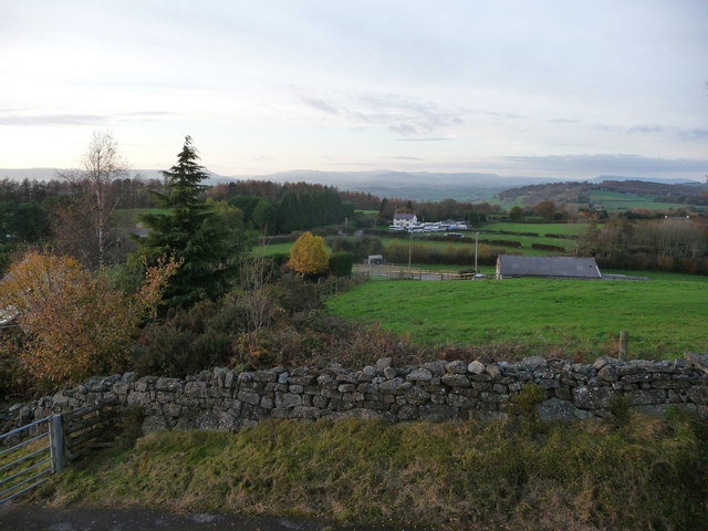
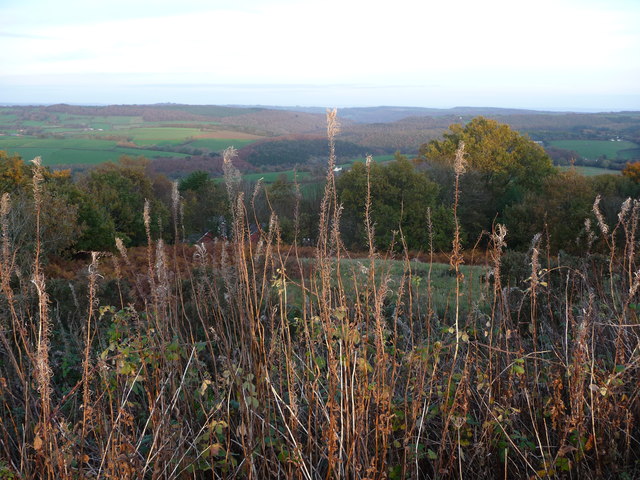
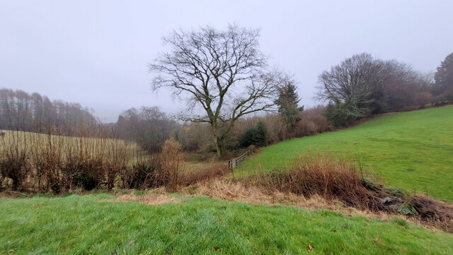
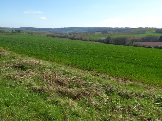
Covering an area of approximately 50 acres, Cinder Patch is characterized by its diverse range of trees, including oak, beech, and pine. The forest floor is adorned with a carpet of wildflowers, creating a vibrant and colorful landscape during the spring and summer months. The woodland is also home to a variety of wildlife, such as deer, foxes, and a rich array of bird species, making it a haven for nature lovers and birdwatchers.

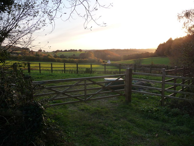
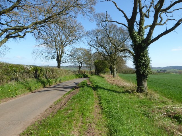
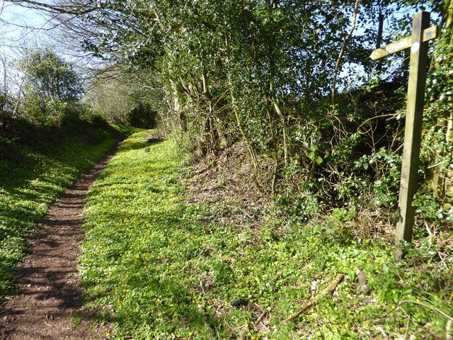
Trails and pathways wind through the forest, offering visitors the opportunity to explore and immerse themselves in the natural surroundings. These well-maintained paths cater to all levels of fitness, from leisurely strolls to more challenging hikes. Along the way, hikers can enjoy breathtaking views of the surrounding countryside and may even stumble upon hidden streams and waterfalls.

Cinder Patch is a cherished part of Monmouthshire's natural heritage and is protected by conservation organizations to ensure its preservation for future generations. It is an important habitat for native flora and fauna, contributing to the biodiversity of the region.

Whether you're seeking tranquility, adventure, or simply a connection with nature, Cinder Patch in Monmouthshire offers a captivating experience for all who venture into its leafy embrace.

If you have any feedback on the listing, please let us know in the comments section below.

Cinder Patch Images

Images are sourced within 2km of 51.706219/-2.7406405 or Grid Reference SO4801. Thanks to Geograph Open Source API. All images are credited.

Lodge house at Tredene
An old footpath near Devauden village What is nicer than walking the dog before dusk in a village high in the Monmouthshire hills?
An old footpath near Devauden village
What is nicer than walking the dog before dusk in a village high in the Monmouthshire hills?
View from the water tank near Devauden This view looks towards Abergavenny, the Usk valley and the southern Black Mountains. What a view.
View from the water tank near Devauden
This view looks towards Abergavenny, the Usk valley and the southern Black Mountains. What a view.
The Welsh Water water tank near Devauden The best sited water tank that I have ever seen. What a spot. Beautiful 360 degree views.
The Welsh Water water tank near Devauden
The best sited water tank that I have ever seen. What a spot. Beautiful 360 degree views.
Rough pasture near Devauden, Monmouthshire Looking from the water tank towards the Wye Valley. What a spot.
Rough pasture near Devauden, Monmouthshire
Looking from the water tank towards the Wye Valley. What a spot.
Lane near Devauden village This lane runs down to the main road through the village.
Lane near Devauden village
This lane runs down to the main road through the village.
House near Devauden village I don't know if it is a lodge for a larger country house or a property in its own right. Nice though.
House near Devauden village
I don't know if it is a lodge for a larger country house or a property in its own right. Nice though.
Monmouthshire countryside near Devauden Quiet fields near the village under a setting November sun.
Monmouthshire countryside near Devauden
Quiet fields near the village under a setting November sun.
Northern boundary of Devauden The B4293 passes the boundary sign for Devauden, a small village in upland Monmouthshire.
The road here is about 250 metres (c820 ft) above sea level.
Northern boundary of Devauden
The B4293 passes the boundary sign for Devauden, a small village in upland Monmouthshire. The road here is about 250 metres (c820 ft) above sea level.
Bridleway in Devauden The bridleway heads away from the B4293 past the edge of the village church. <a title="https://www.geograph.org.uk/photo/3813892" href="https://www.geograph.org.uk/photo/3813892">Link</a> It seems certain that the speed camera symbol on the left applies to traffic on the main road, not the bridleway!
Bridleway in Devauden
The bridleway heads away from the B4293 past the edge of the village church. Link It seems certain that the speed camera symbol on the left applies to traffic on the main road, not the bridleway!
Oak tree on the field boundary Rolling, pastoral countryside near Devauden.
Oak tree on the field boundary
Rolling, pastoral countryside near Devauden.
Sluice at the SW end of Ravensnest Ponds Fishery Across the River Angiddy.
Sluice at the SW end of Ravensnest Ponds Fishery
Across the River Angiddy.
Sunrise over Ty-mawr Seen on the way to the office in Bristol.
Sunrise over Ty-mawr
Seen on the way to the office in Bristol.
Tree-lined road Tree-lined road between and Llanishen and Trelleck Grange.
Tree-lined road
Tree-lined road between and Llanishen and Trelleck Grange.
Arable land near Trelleck Grange Arable land between Trelleck Grange and Llanishen.
Arable land near Trelleck Grange
Arable land between Trelleck Grange and Llanishen.
Public right of way A springtime public right of way at Parkhouse.
Public right of way
A springtime public right of way at Parkhouse.
Public right of way Springtime public right of way at Parkhouse.
Public right of way
Springtime public right of way at Parkhouse.
Show me another place!

Cinder Patch is located at Grid Ref: SO4801 (Lat: 51.706219, Lng: -2.7406405)

Unitary Authority: Monmouthshire

Police Authority: Gwent

What 3 Words

///lectured.customers.enormous. Near Tintern, Monmouthshire

Related Wikis

Trelleck Grange

Trelleck Grange (or Trellech Grange) is a small hamlet in a rural area of Monmouthshire, south east Wales, United Kingdom, about seven miles south of Monmouth...

Tredean House, Devauden

Tredean House, Devauden, Monmouthshire is a country house dating from 1901 to 1902. It was designed in an Arts and Crafts style by the architect Arthur...

Devauden

Devauden (Welsh: Y Dyfawden) is a village and community in Monmouthshire, southeast Wales. It is located between Chepstow and Monmouth near the top of...

Llanishen, Monmouthshire

Llanishen (Welsh: Llanisien) is a village in Monmouthshire, southeast Wales, United Kingdom. It is located 7 miles (11 km) southwest of Monmouth and 3...

Hygga House Dovecote, Trellech

The Dovecote, Hygga, Trellech, Monmouthshire is a late 16th-century dovecote, in an unusually complete state of preservation. Part of the service buildings...

Cross at Croes Llwyd Farm, Raglan

The Cross at Croes Llwyd Farm, Raglan, Monmouthshire is a medieval cross which indicated a boundary of the Lordship of Raglan. As a rare medieval survival...

St Michael's Church, Llanfihangel Tor-y-Mynydd

The Church of St Michael, Llanfihangel Tor-y-Mynydd, Monmouthshire is a parish church with its origins in the 14th or 15th century. A Grade II* listed...

Catbrook

Catbrook (Welsh: Catffrwd) is a village in Monmouthshire, south east Wales, United Kingdom. The population in 2011 was 412. == Location == Catbrook is...

Nearby Amenities

Located within 500m of 51.706219,-2.7406405
The data included in this document is from www.openstreetmap.org. The data is made available under ODbL.

Have you been to Cinder Patch?

Leave your review of Cinder Patch below (or comments, questions and feedback).