Kennel Wood

Wood, Forest in Monmouthshire

Wales

Kennel Wood

Arable land near Hygga Arable land north of Hygga near Llanishen.
Arable land near Hygga Credit: Philip Halling

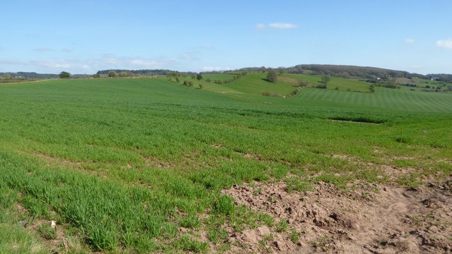
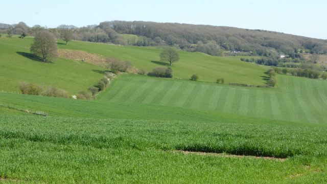
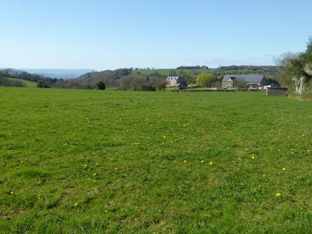
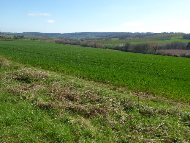
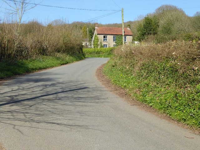
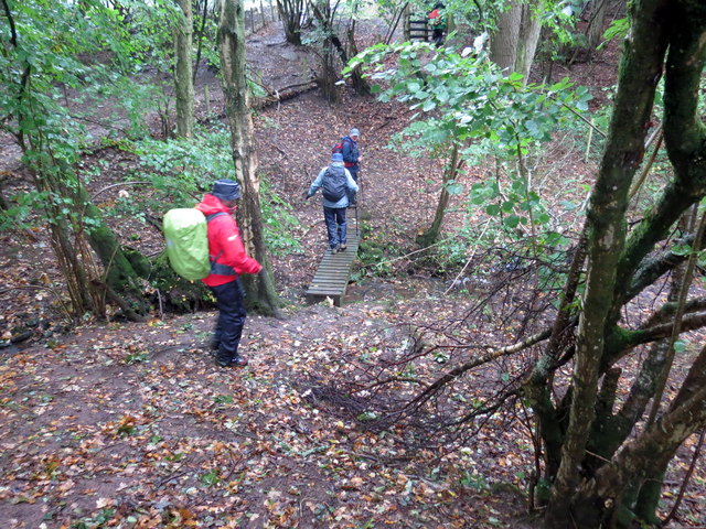
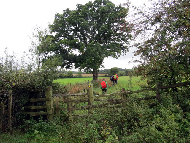
Kennel Wood is a picturesque woodland located in Monmouthshire, Wales. Spread across an area of approximately 100 acres, the wood is known for its natural beauty and diverse wildlife. It is situated near the village of Trellech, about 5 miles north of Monmouth.

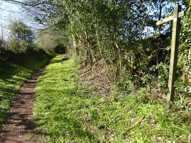
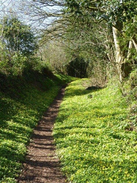
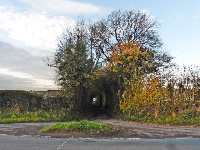
The woodland is primarily composed of mixed broadleaf trees, including oak, beech, and ash. These trees provide a dense canopy that creates a sheltered and tranquil environment. The forest floor is rich with ferns, bluebells, and other wildflowers, adding to the enchanting atmosphere of the wood.

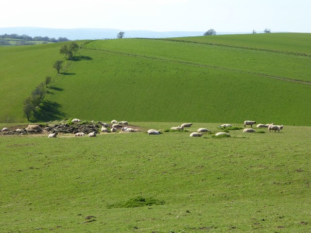
Kennel Wood is home to an array of wildlife species, making it a popular destination for nature enthusiasts and bird watchers. The wood provides a habitat for various birds, including woodpeckers, owls, and warblers. Mammals such as badgers, foxes, and deer can also be spotted within the woodland.

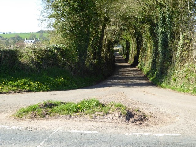
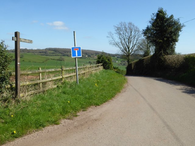
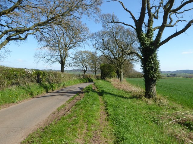
The wood offers several walking trails, allowing visitors to explore its beauty at their own pace. These paths wind through the trees, offering glimpses of stunning vistas and enchanting glades. It is a perfect location for a peaceful walk, picnic, or photography session.

Kennel Wood is managed by the local authorities, who have implemented conservation measures to protect its natural ecosystem. The woodland is open to the public throughout the year, providing a serene escape from the hustle and bustle of everyday life. Whether for a leisurely stroll or a deeper connection with nature, Kennel Wood is a must-visit destination for anyone seeking tranquility and natural beauty in Monmouthshire.

If you have any feedback on the listing, please let us know in the comments section below.
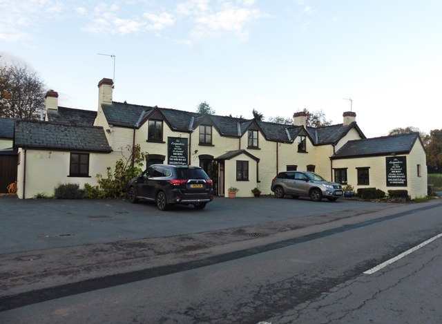
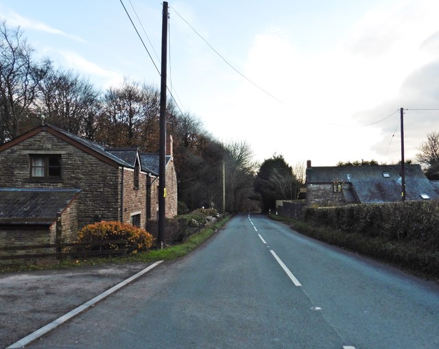
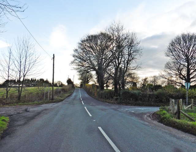
Kennel Wood Images

Images are sourced within 2km of 51.723868/-2.7522069 or Grid Reference SO4803. Thanks to Geograph Open Source API. All images are credited.

Arable land near Hygga Arable land north of Hygga near Llanishen.
Arable land near Hygga
Arable land north of Hygga near Llanishen.
Farmland near Llanishen Farmland to the north-east of Llanishen viewed from the B4293.  On the high ground to the left the OS map indicates it was the site of a hill fort.  The field in the centre with the stripes like a lawn has probably either just been rolled or been chain harrowed.
Farmland near Llanishen
Farmland to the north-east of Llanishen viewed from the B4293. On the high ground to the left the OS map indicates it was the site of a hill fort. The field in the centre with the stripes like a lawn has probably either just been rolled or been chain harrowed.
View to Pant-glâs View to Pant-glâs from the B4293.
View to Pant-glâs
View to Pant-glâs from the B4293.
Road to Pant-glâs Road off the B4293 to Pant-glâs.
Road to Pant-glâs
Road off the B4293 to Pant-glâs.
Road to Hygga No through road giving access to Hygga.
Road to Hygga
No through road giving access to Hygga.
Tree-lined road Tree-lined road between and Llanishen and Trelleck Grange.
Tree-lined road
Tree-lined road between and Llanishen and Trelleck Grange.
Arable land near Trelleck Grange Arable land between Trelleck Grange and Llanishen.
Arable land near Trelleck Grange
Arable land between Trelleck Grange and Llanishen.
Public right of way A springtime public right of way at Parkhouse.
Public right of way
A springtime public right of way at Parkhouse.
Public right of way Springtime public right of way at Parkhouse.
Public right of way
Springtime public right of way at Parkhouse.
House in Parkhouse
House in Parkhouse
Sheep in the sun Sheep lay in the warm spring sunshine near Ffynnon Gaer.
Sheep in the sun
Sheep lay in the warm spring sunshine near Ffynnon Gaer.
Turning for Cross Lane
Lane to Pant-glas
Lane to Pant-glas
The Carpenters Arms, Llanishen
The B4293 on Star Hill
Turning for Raglan
Turning for Raglan
Croesi nant fach / Crossing a small  brook Cerddwyr yn croesi nant fach.

Walkers crossing a small brook.
Croesi nant fach / Crossing a small brook
Cerddwyr yn croesi nant fach. Walkers crossing a small brook.
I gyfeiriad Pantglas / In the direction of Pantglas Cerddwyr yn dilyn llwybr cyhoeddus ger anhedd-dy o'r enw Pantglas.

Walkers following a public footpath near a property known as Pantglas (trans. green hollow).
I gyfeiriad Pantglas / In the direction of Pantglas
Cerddwyr yn dilyn llwybr cyhoeddus ger anhedd-dy o'r enw Pantglas. Walkers following a public footpath near a property known as Pantglas (trans. green hollow).
Show me another place!

Kennel Wood is located at Grid Ref: SO4803 (Lat: 51.723868, Lng: -2.7522069)

Unitary Authority: Monmouthshire

Police Authority: Gwent

What 3 Words

///bossy.custom.narrating. Near Tintern, Monmouthshire

Nearby Locations

Kennel Wood Hygga Dingle

Related Wikis

Llanishen, Monmouthshire

Llanishen (Welsh: Llanisien) is a village in Monmouthshire, southeast Wales, United Kingdom. It is located 7 miles (11 km) southwest of Monmouth and 3...

Hygga House Dovecote, Trellech

The Dovecote, Hygga, Trellech, Monmouthshire is a late 16th-century dovecote, in an unusually complete state of preservation. Part of the service buildings...

Cross at Croes Llwyd Farm, Raglan

The Cross at Croes Llwyd Farm, Raglan, Monmouthshire is a medieval cross which indicated a boundary of the Lordship of Raglan. As a rare medieval survival...

Pant-glas Farmhouse, Llanishen, Monmouthshire

Pant-glas Farmhouse and its associated barn at Llanishen, Trellech, Monmouthshire date from the early 16th and 17th centuries respectively and are both...

Nearby Amenities

Located within 500m of 51.723868,-2.7522069
Direction: 215
Generator Method: photovoltaic
Generator Output Electricity: yes
Generator Solar Modules: 16
Generator Source: solar
Generator Type: solar_photovoltaic_panel
Location: roof
Power: generator
Lat/Long: 51.7251491/-2.7505812
Direction: 145
Generator Method: photovoltaic
Generator Output Electricity: yes
Generator Solar Modules: 10
Generator Source: solar
Generator Type: solar_photovoltaic_panel
Location: roof
Power: generator
Lat/Long: 51.724757/-2.7578151
Direction: SW
Generator Method: photovoltaic
Generator Output Electricity: yes
Generator Solar Modules: 16
Generator Source: solar
Generator Type: solar_photovoltaic_panel
Location: roof
Power: generator
Lat/Long: 51.7256475/-2.7556479
Direction: 125
Generator Method: photovoltaic
Generator Output Electricity: yes
Generator Solar Modules: 16
Generator Source: solar
Generator Type: solar_photovoltaic_panel
Location: roof
Power: generator
Lat/Long: 51.7253368/-2.7568737
Direction: 95
Generator Method: photovoltaic
Generator Output Electricity: yes
Generator Solar Modules: 8
Generator Source: solar
Generator Type: solar_photovoltaic_panel
Location: roof
Power: generator
Lat/Long: 51.725061/-2.7574262
The data included in this document is from www.openstreetmap.org. The data is made available under ODbL.

Have you been to Kennel Wood?

Leave your review of Kennel Wood below (or comments, questions and feedback).