Limekiln Wood
Wood, Forest in Monmouthshire
Wales
Limekiln Wood

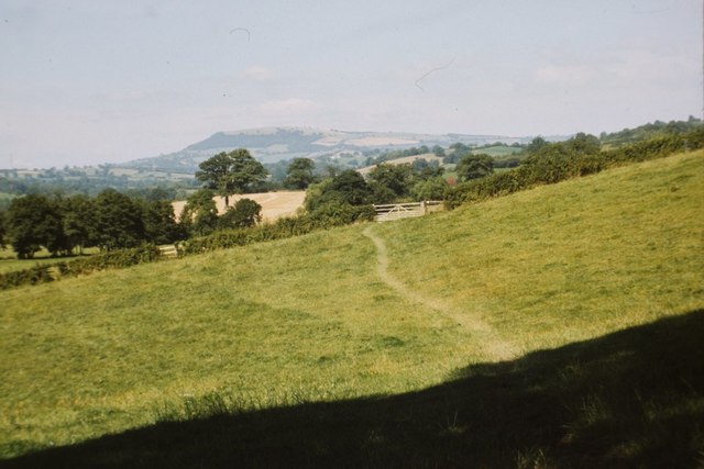
Limekiln Wood is a picturesque forest located in Monmouthshire, a county in southeastern Wales. Covering an area of approximately 100 acres, this woodland is nestled in the heart of the beautiful Wye Valley, renowned for its stunning landscapes and rich biodiversity.
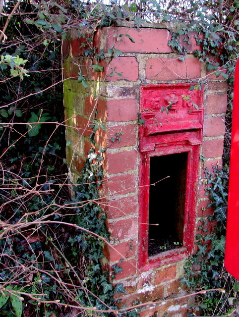
The wood takes its name from the historic limekilns that dot its landscape, remnants of an industry that thrived in the area during the 18th and 19th centuries. These kilns were used to produce quicklime, an essential material for construction and agriculture at the time.
Limekiln Wood is predominantly composed of broadleaf trees, with oak, beech, and ash being the most common species. The dense canopy formed by these towering trees creates a tranquil and shaded environment, perfect for leisurely walks and exploring nature.
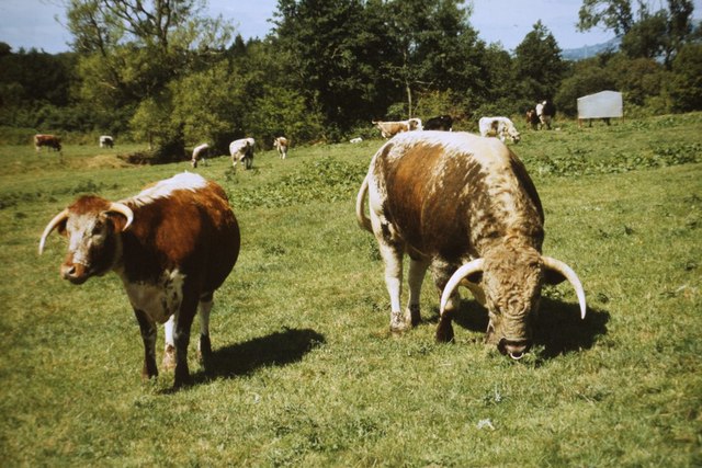
The forest is crisscrossed by a network of well-maintained footpaths, allowing visitors to fully immerse themselves in the natural beauty of the area. These trails meander through the woodland, passing by babbling streams, vibrant wildflowers, and an array of wildlife species, including squirrels, deer, and various bird species.
For those interested in history, Limekiln Wood offers a glimpse into the region's industrial past. Aside from the limekilns, there are also remnants of old quarry workings, which provide an intriguing insight into the extraction of limestone that once took place here.
Limekiln Wood is a haven for nature enthusiasts and history buffs alike, offering a tranquil escape from the hustle and bustle of everyday life. Its stunning scenery, diverse wildlife, and historical features make it a must-visit destination for anyone exploring Monmouthshire's natural wonders.
If you have any feedback on the listing, please let us know in the comments section below.
Limekiln Wood Images
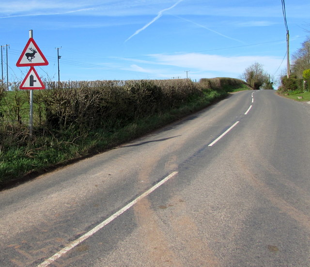
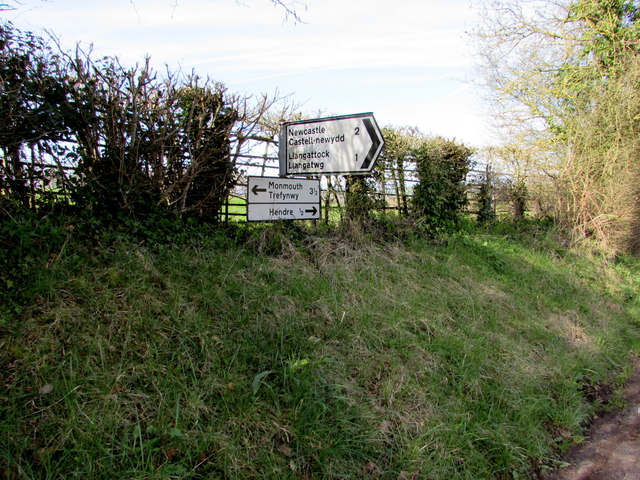
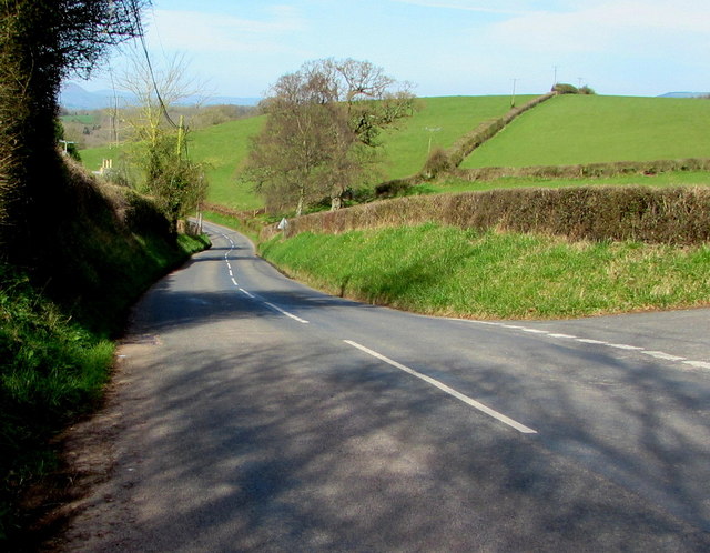
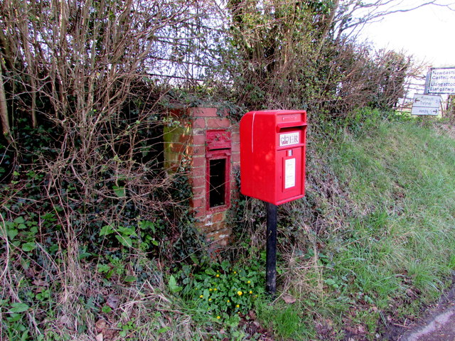
Images are sourced within 2km of 51.812961/-2.7758841 or Grid Reference SO4612. Thanks to Geograph Open Source API. All images are credited.


Limekiln Wood is located at Grid Ref: SO4612 (Lat: 51.812961, Lng: -2.7758841)
Unitary Authority: Monmouthshire
Police Authority: Gwent
What 3 Words
///screeches.telephone.mastering. Near Mitchel Troy, Monmouthshire
Nearby Locations
Related Wikis

White Hill, Monmouth
White Hill is a hill rising to over 205 metres (673 ft) to the west of the town of Monmouth, South Wales and north of Wonastow. Much of it is covered by...

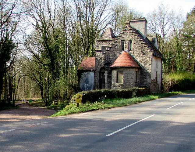
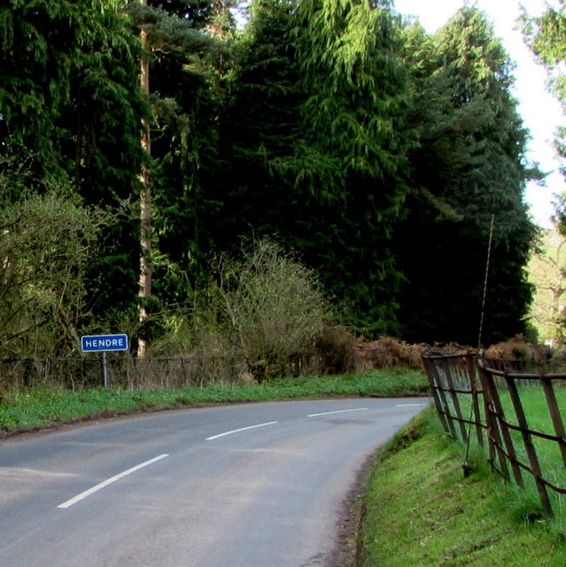
The Hendre
The Hendre, (Welsh: Yr Hendre a farmer's winter residence; literally meaning old home) in Rockfield, is the only full-scale Victorian country house in...

Grace Dieu Abbey, Monmouth
Grace Dieu Abbey was a small Cistercian abbey established in 1226 near to the town of Monmouth in south east Wales. No remains of its buildings can now...

Treowen
Treowen (or Tre-owen) is an early 17th-century house in Monmouthshire, Wales, regarded as "the most important gentry house (of its date) in the county...
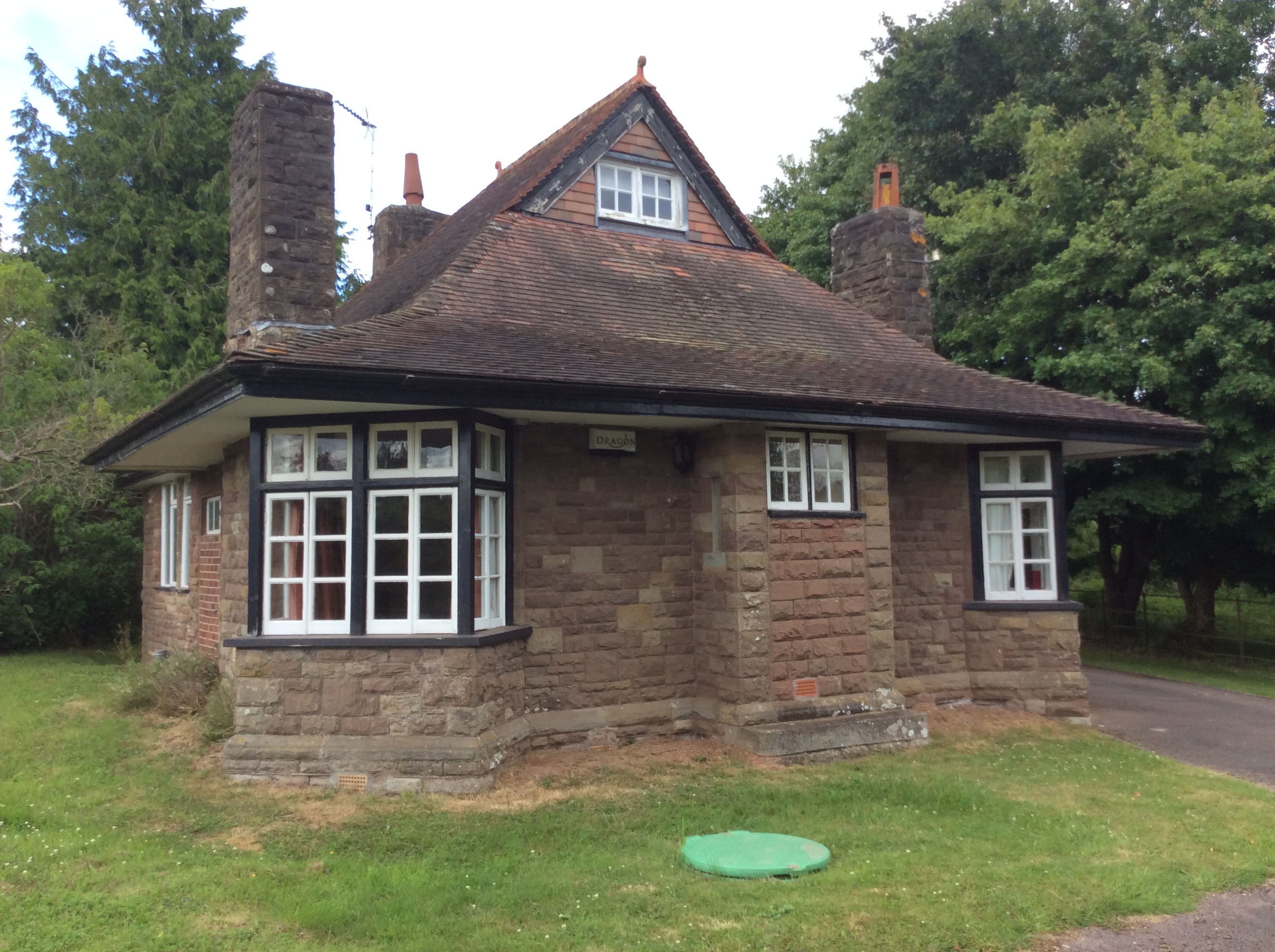
Swiss Cottage, Rockfield
The Swiss Cottage, Rockfield, Monmouthshire is a gatehouse to The Hendre estate and was designed by Sir Aston Webb in 1905. It is a Grade II* listed building...
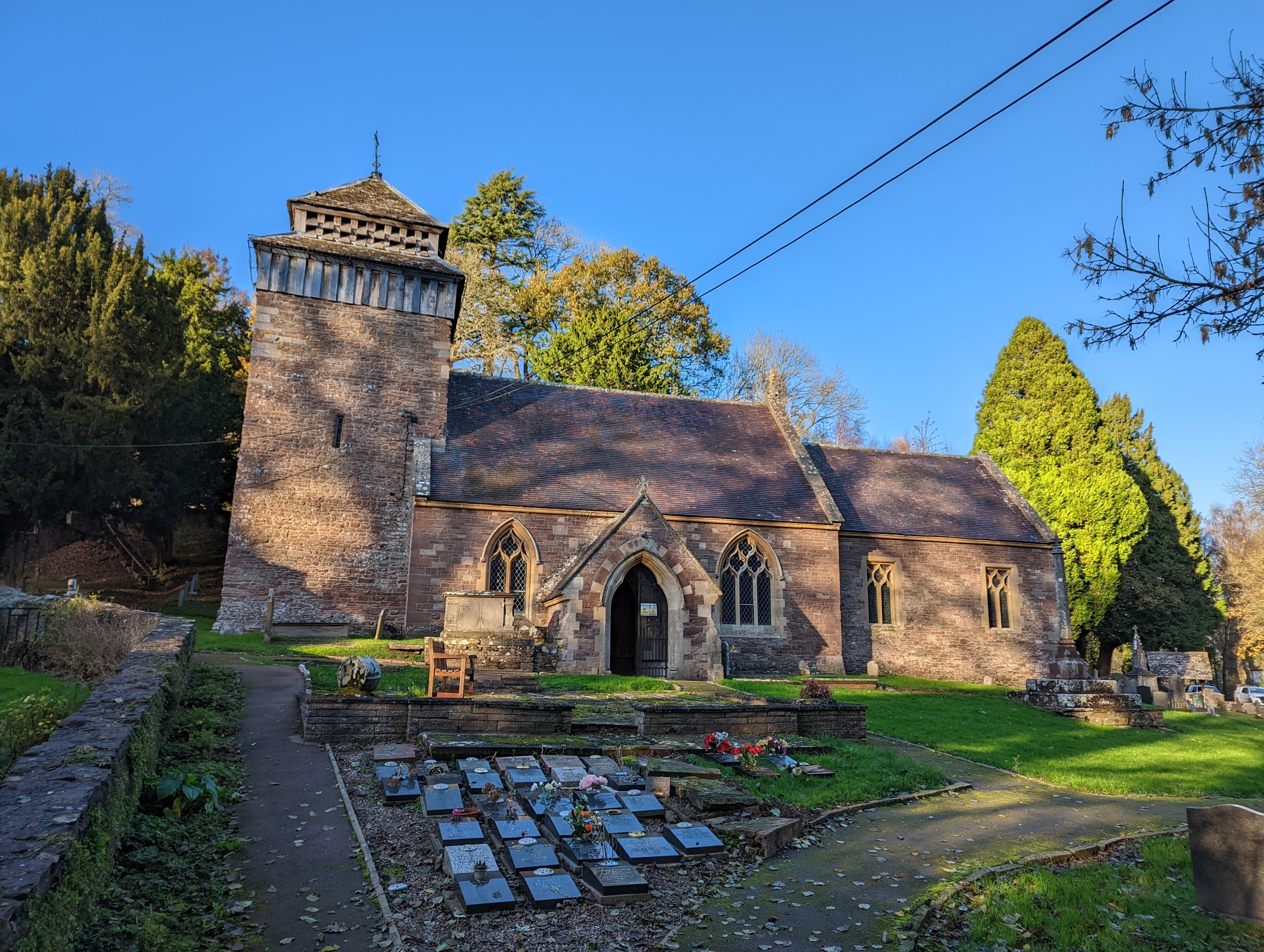
St Cenedlon's Church, Rockfield
St Cenedlon's is a parish church in the village of Rockfield, Monmouthshire, Wales. The dedication to St Cenedlon is unusual and the history of the saint...
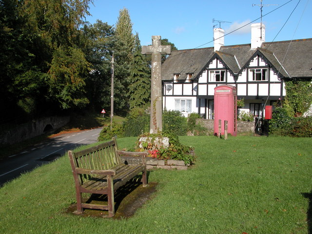
Rockfield, Monmouthshire
Rockfield is a small village in the community of Whitecastle, Monmouthshire, Southeast Wales. It is located beside the River Monnow, about 2 miles (3...

Pentwyn, Rockfield
Pentwyn, Rockfield, Monmouthshire is a Victorian villa dating from the mid 19th century. Its origins are older but the present building was constructed...
Have you been to Limekiln Wood?
Leave your review of Limekiln Wood below (or comments, questions and feedback).