Stoneycroft Wood

Wood, Forest in Monmouthshire

Wales

Stoneycroft Wood

Redd Landes, Shirenewton Cul-de-sac on the north side of Earlswood Road. The name Redd Landes appears to be unique in the UK.
Redd Landes, Shirenewton Credit: Jaggery

Stoneycroft Wood is a picturesque woodland located in Monmouthshire, Wales. Covering an area of approximately 50 hectares, this forest is a haven for nature lovers and outdoor enthusiasts alike. The wood is situated near the village of Stoneycroft, hence its name, and is easily accessible by foot or car.

One of the standout features of Stoneycroft Wood is its diverse range of tree species. Visitors can expect to see a mixture of native and non-native trees, including oak, beech, birch, and pine. These towering trees provide a dense canopy, creating a tranquil and shaded environment within the wood.

The woodland is home to a wide array of wildlife, making it a popular spot for birdwatching and nature photography. Bird species such as the great spotted woodpecker, nuthatch, and tawny owl can often be spotted in the area. Additionally, small mammals like foxes, badgers, and squirrels are known to call Stoneycroft Wood their home.

For those seeking outdoor activities, Stoneycroft Wood offers several well-maintained walking trails. These paths wind through the forest, allowing visitors to explore the natural beauty at their own pace. Along the way, benches and picnic areas are strategically placed, providing opportunities to rest and enjoy the surroundings.

Stoneycroft Wood is a cherished natural asset in Monmouthshire, offering a peaceful retreat from the hustle and bustle of everyday life. Whether one is interested in wildlife observation, leisurely walks, or simply reconnecting with nature, this woodland provides an idyllic setting for all.

If you have any feedback on the listing, please let us know in the comments section below.

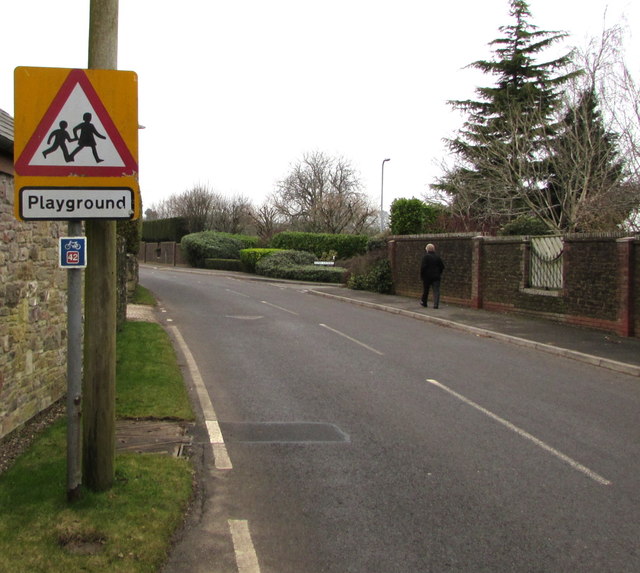
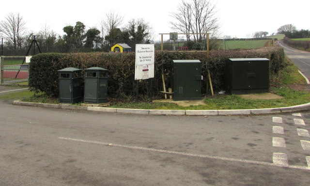
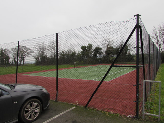
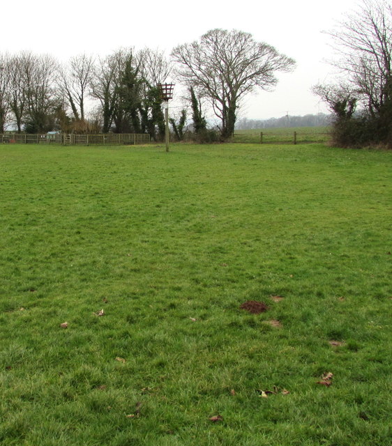
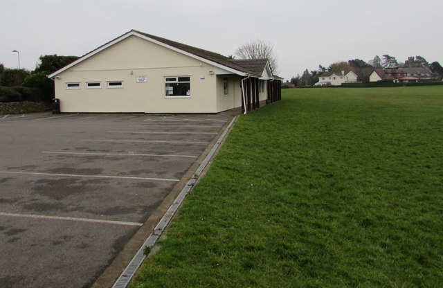
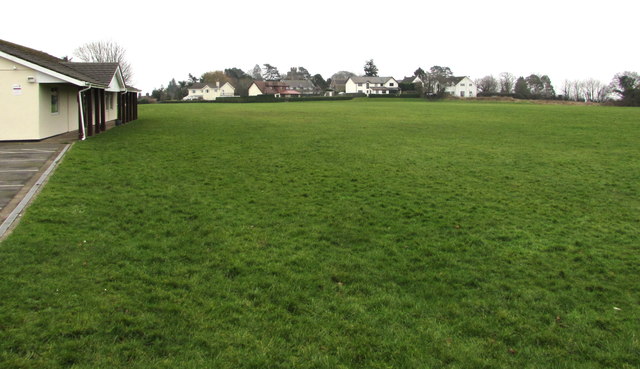
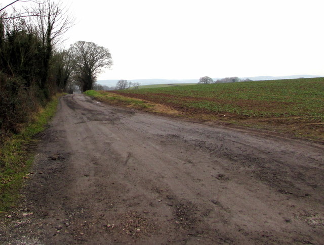
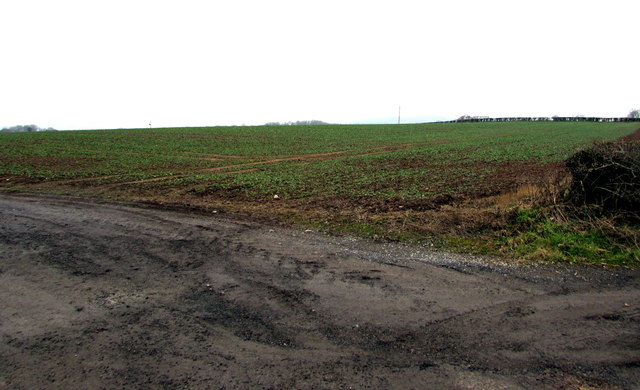
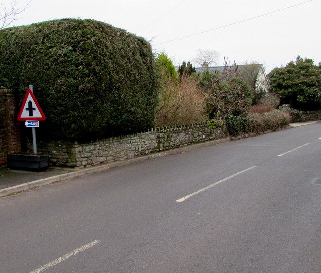
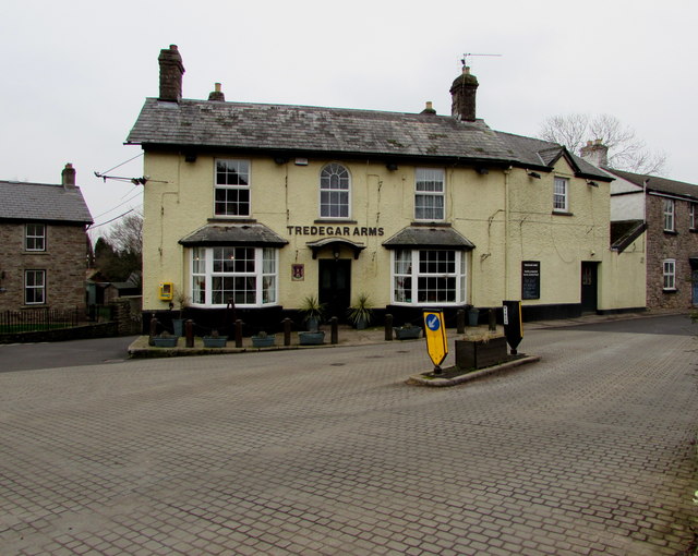
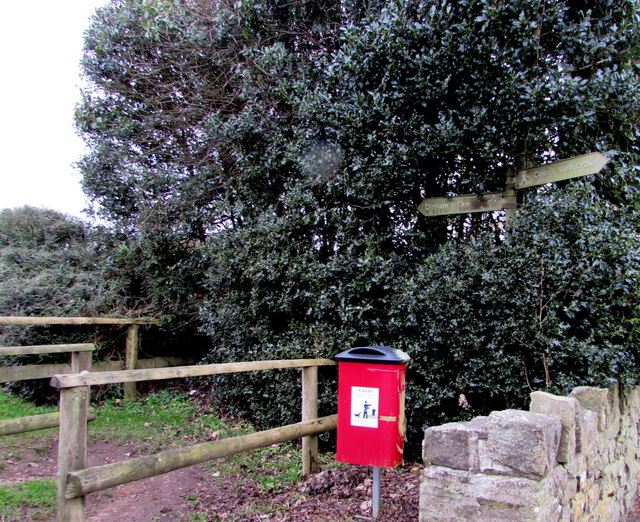
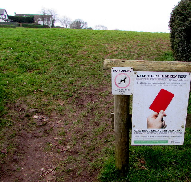
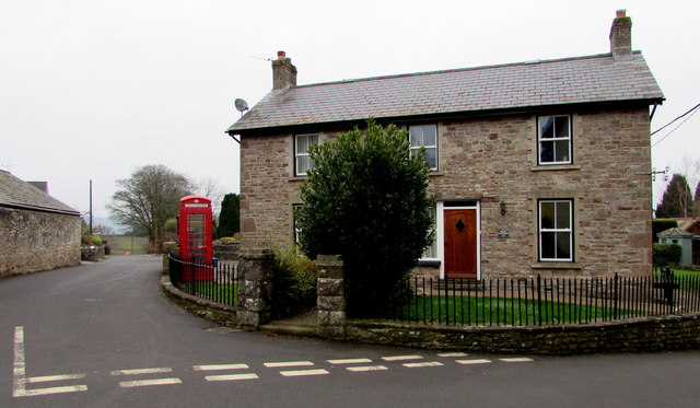
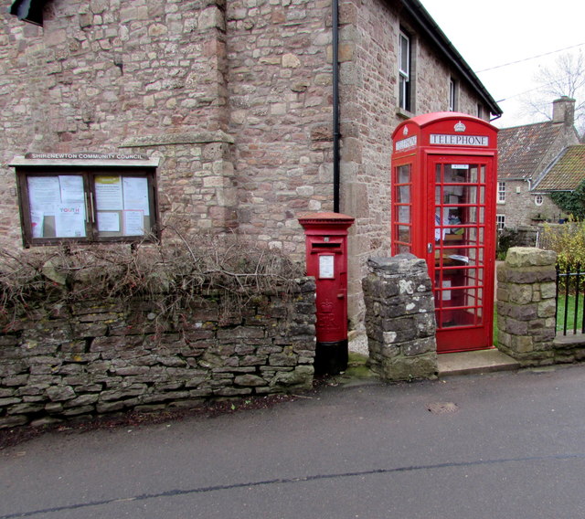
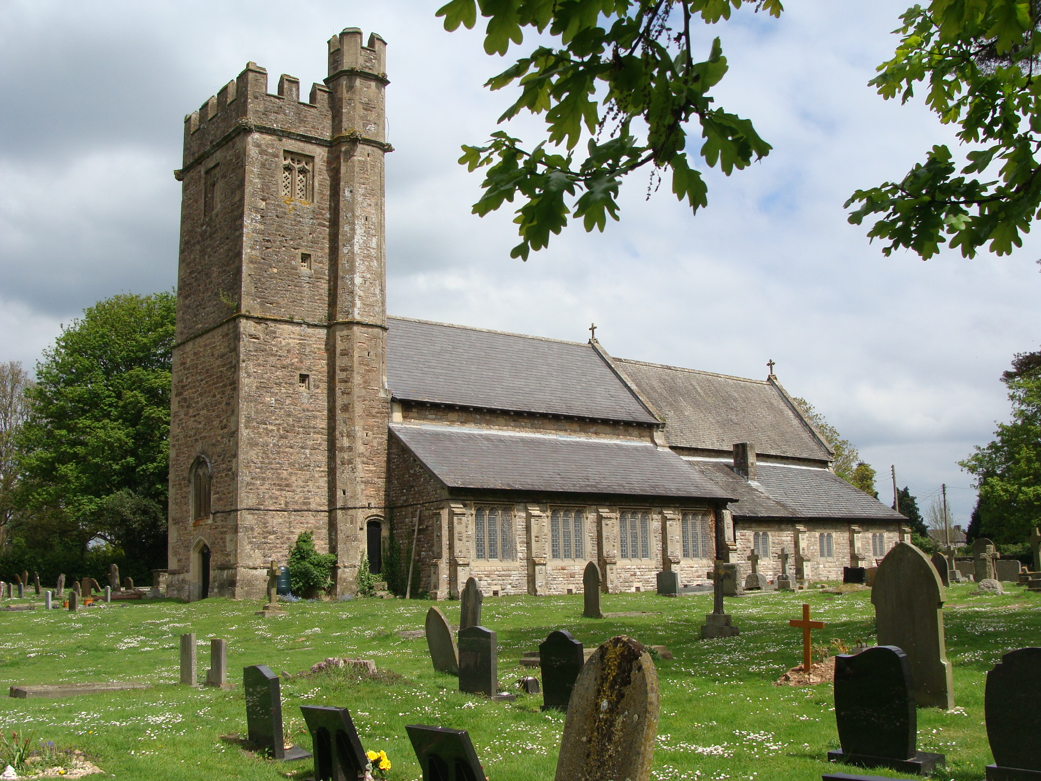
Stoneycroft Wood Images

Images are sourced within 2km of 51.637344/-2.7729258 or Grid Reference ST4693. Thanks to Geograph Open Source API. All images are credited.

Redd Landes, Shirenewton Cul-de-sac on the north side of Earlswood Road. The name Redd Landes appears to be unique in the UK.
Redd Landes, Shirenewton
Cul-de-sac on the north side of Earlswood Road. The name Redd Landes appears to be unique in the UK.
Children's play area in Shirenewton At the western edge of the village, between a lawn tennis court and a hedge at the edge of Earlswood Road.
Children's play area in Shirenewton
At the western edge of the village, between a lawn tennis court and a hedge at the edge of Earlswood Road.
End of the 30 zone at the western edge of Shirenewton, Monmouthshire The 30mph speed limit on Earlswood Road increases to 40mph.
End of the 30 zone at the western edge of Shirenewton, Monmouthshire
The 30mph speed limit on Earlswood Road increases to 40mph.
Start of the 30 zone at the western edge of Shirenewton, Monmouthshire The 40mph speed limit on Earlswood Road drops to 30mph.
Start of the 30 zone at the western edge of Shirenewton, Monmouthshire
The 40mph speed limit on Earlswood Road drops to 30mph.
Warning sign - playground, Shirenewton Facing Earlswood Road on the approach to this <a title="https://www.geograph.org.uk/photo/5652529" href="https://www.geograph.org.uk/photo/5652529">Link</a> playground.
The small rectangular sign shows that this road is part of National Cycle Network Route 42.
Warning sign - playground, Shirenewton
Facing Earlswood Road on the approach to this Link playground. The small rectangular sign shows that this road is part of National Cycle Network Route 42.
Two telecoms cabinets and two litter bins, Shirenewton Alongside Earlswood Road at the entrance to the village recreation ground.
A Virgin Media cabinet is on the right, next to a BT cabinet.
Two telecoms cabinets and two litter bins, Shirenewton
Alongside Earlswood Road at the entrance to the village recreation ground. A Virgin Media cabinet is on the right, next to a BT cabinet.
Shirenewton tennis court On the Earlswood Road side of the village recreation ground, next to a children's play area. <a title="https://www.geograph.org.uk/photo/5652529" href="https://www.geograph.org.uk/photo/5652529">Link</a>
Shirenewton tennis court
On the Earlswood Road side of the village recreation ground, next to a children's play area. Link
Towards Shirenewton Beacon The beacon is located near the western edge of the village recreation ground.
Towards Shirenewton Beacon
The beacon is located near the western edge of the village recreation ground.
Shirenewton Recreation Hall, Shirenewton, Monmouthshire On the Earlswood Road side of the village recreation ground.
Shirenewton Recreation Hall, Shirenewton, Monmouthshire
On the Earlswood Road side of the village recreation ground.
Village recreation ground, Shirenewton, Monmouthshire Shirenewton Recreation Hall <a title="https://www.geograph.org.uk/photo/5652580" href="https://www.geograph.org.uk/photo/5652580">Link</a> is on the left.
Village recreation ground, Shirenewton, Monmouthshire
Shirenewton Recreation Hall Link is on the left.
Unnamed lane in Shirenewton From Earlswood Road, the lane leads to Red House Lane.
Unnamed lane in Shirenewton
From Earlswood Road, the lane leads to Red House Lane.
January 2018 view of a field at the western edge of Shirenewton, Monmouthshire  Unhedged on this side, the field is on the south side of Earlswood Road and the west side of this <a title="https://www.geograph.org.uk/photo/5652595" href="https://www.geograph.org.uk/photo/5652595">Link</a> lane.
January 2018 view of a field at the western edge of Shirenewton, Monmouthshire
Unhedged on this side, the field is on the south side of Earlswood Road and the west side of this Link lane.
Warning sign and cycle route 42 sign, Earlswood Road, Shirenewton, Monmouthshire The triangular sign warns that a minor crossroads junction is ahead. The small rectangular sign showing 42 depicts a bicycle. In January 2018, the Sustrans website states that National Route 42 of the National Cycle Network will run west from Gloucester through Cinderford to Chepstow and then north through Abergavenny to join National Route 8 at Glasbury with the option of passing through Hay-on-Wye.
Warning sign and cycle route 42 sign, Earlswood Road, Shirenewton, Monmouthshire
The triangular sign warns that a minor crossroads junction is ahead. The small rectangular sign showing 42 depicts a bicycle. In January 2018, the Sustrans website states that National Route 42 of the National Cycle Network will run west from Gloucester through Cinderford to Chepstow and then north through Abergavenny to join National Route 8 at Glasbury with the option of passing through Hay-on-Wye.
Tredegar Arms, Shirenewton Pub in the centre of the village viewed in January 2018. 
The bricked road surface was not here in July 2011. <a title="https://www.geograph.org.uk/photo/3179271" href="https://www.geograph.org.uk/photo/3179271">Link</a>
Tredegar Arms, Shirenewton
Pub in the centre of the village viewed in January 2018. The bricked road surface was not here in July 2011. Link
Public footpath signpost in Shirenewton Alongside Earlswood Road behind a dog waste bin. The signpost shows left for Dinham 1.6 km.
Right for Coxe's Well 0.2km. No equivalents in miles or yards are shown.
Public footpath signpost in Shirenewton
Alongside Earlswood Road behind a dog waste bin. The signpost shows left for Dinham 1.6 km. Right for Coxe's Well 0.2km. No equivalents in miles or yards are shown.
Keep your children safe - Give dog fouling the red card, Shirenewton The notice faces Earlswood Road at the edge of a public footpath to Dinham.
The smaller notice shows NO FOULING - MAXIMUM FINE £1000.
Dog fouling can cause serious harm to children's health.
Keep your children safe - Give dog fouling the red card, Shirenewton
The notice faces Earlswood Road at the edge of a public footpath to Dinham. The smaller notice shows NO FOULING - MAXIMUM FINE £1000. Dog fouling can cause serious harm to children's health.
The Old Post Office, Shirenewton Dating from the 1850s, the house at the southern end of Ditch Hill Lane was the village post office for more than a century. Viewed in January 2018 when the Post Office Branch Finder shows that the nearest post office is in Caerwent, about 3km away.
The Old Post Office, Shirenewton
Dating from the 1850s, the house at the southern end of Ditch Hill Lane was the village post office for more than a century. Viewed in January 2018 when the Post Office Branch Finder shows that the nearest post office is in Caerwent, about 3km away.
Queen Elizabeth II pillarbox and disused phonebox, Shirenewton At the edge of the Old Post Office <a title="https://www.geograph.org.uk/photo/5652688" href="https://www.geograph.org.uk/photo/5652688">Link</a> viewed across Ditch Hill Lane in January 2018. There are many notices inside the red box which no longer contains a phone. A Shirenewton Community Council noticeboard is on the left.
Queen Elizabeth II pillarbox and disused phonebox, Shirenewton
At the edge of the Old Post Office Link viewed across Ditch Hill Lane in January 2018. There are many notices inside the red box which no longer contains a phone. A Shirenewton Community Council noticeboard is on the left.
Show me another place!

Stoneycroft Wood is located at Grid Ref: ST4693 (Lat: 51.637344, Lng: -2.7729258)

Unitary Authority: Monmouthshire

Police Authority: Gwent

What 3 Words

///yacht.wires.skin. Near Caerwent, Monmouthshire

Related Wikis

Shirenewton

Shirenewton (Welsh: Drenewydd Gelli-farch) is a village and community in Monmouthshire, south east Wales. It is located 3 miles due west of Chepstow,...

Church of St Thomas a Becket, Shirenewton

The Church of St Thomas a Becket is located in Shirenewton, Monmouthshire, Wales. In the late 12th century the land was inherited by Henry de Bohun. The...

Shirenewton Hall

Shirenewton Hall, originally Shirenewton Court, is a country house and estate adjoining the village of Shirenewton, Monmouthshire, Wales, about 3 miles...

Llanvair Discoed

Llanvair Discoed (Welsh: Llanfair Is Coed) is a small village in Monmouthshire, south-east Wales, 6 miles west of Chepstow and 10 miles east of Newport...

Caerwent Training Area

Caerwent Training Area is a British military installation at Caerwent, Monmouthshire, Wales. The large military site is situated north of the A48 road...

Venta Silurum

Venta Silurum was a town in Roman Britain (Britannia). Today it consists of remains in the village of Caerwent in Monmouthshire, south east Wales. Much...

Church of St Stephen and St Tathan, Caerwent

The Church of St Stephen and St Tathan, Caerwent, Monmouthshire, is a parish church with datable origins to the 13th century. It is believed to be one...

Caerwent

Caerwent (Welsh: Caer-went) is a village and community in Monmouthshire, Wales. It is located about five miles west of Chepstow and 11 miles east of Newport...

Nearby Amenities

Located within 500m of 51.637344,-2.7729258
The data included in this document is from www.openstreetmap.org. The data is made available under ODbL.

Have you been to Stoneycroft Wood?

Leave your review of Stoneycroft Wood below (or comments, questions and feedback).