Hendre Great Wood
Wood, Forest in Monmouthshire
Wales
Hendre Great Wood

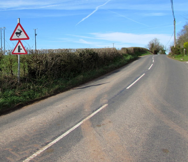
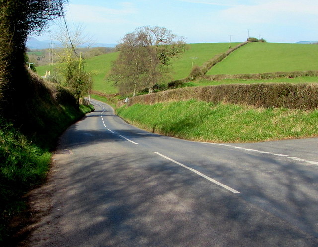
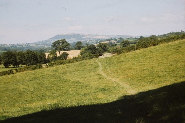
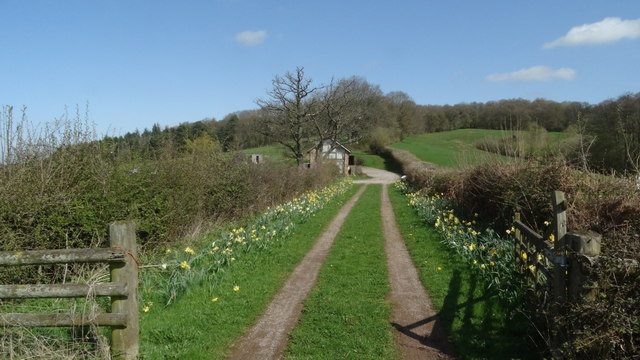
Hendre Great Wood is a magnificent forest located in Monmouthshire, Wales. It covers an area of approximately 1,000 acres and is renowned for its natural beauty and diverse range of flora and fauna. The wood is situated near the picturesque village of Devauden, nestled within the rolling hills of the Wye Valley.
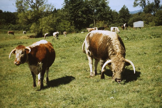
The forest is predominantly composed of oak, beech, and ash trees, which create a dense canopy that provides shelter and habitat for a wide variety of wildlife. Visitors to Hendre Great Wood can expect to encounter a plethora of bird species, including woodpeckers, owls, and buzzards. The forest is also home to mammals such as badgers, foxes, and deer, which can often be spotted wandering through the woodland.
Hendre Great Wood offers numerous walking trails and paths, providing ample opportunities for visitors to immerse themselves in the tranquility of nature. The wood is particularly popular among hikers and nature enthusiasts who enjoy exploring its vast expanse. Additionally, the forest is a haven for photographers, thanks to its stunning landscapes and abundance of wildlife.
In recent years, efforts have been made to preserve and protect the natural beauty of Hendre Great Wood. Conservation initiatives have been implemented to ensure the sustainability of the forest and its inhabitants for future generations to enjoy. Educational programs are also offered to increase awareness about the importance of woodland ecosystems and the need for their preservation.
Overall, Hendre Great Wood is a truly remarkable forest, offering a sanctuary of peace and natural wonder for all who visit.
If you have any feedback on the listing, please let us know in the comments section below.
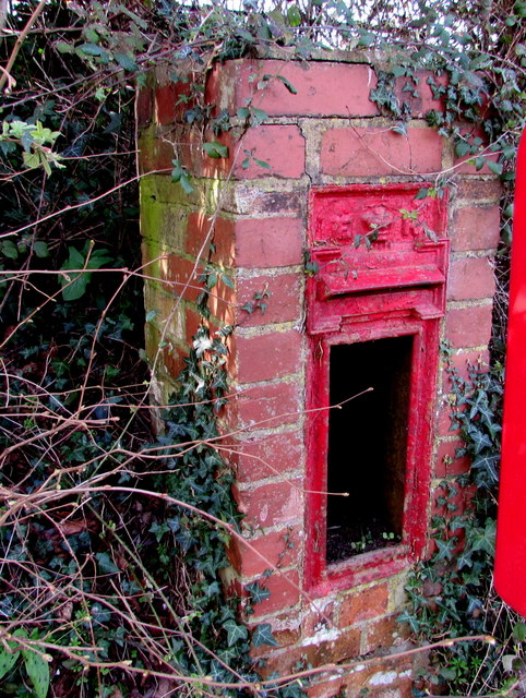
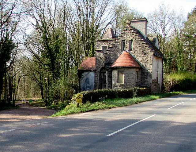
Hendre Great Wood Images
Images are sourced within 2km of 51.812853/-2.7799004 or Grid Reference SO4612. Thanks to Geograph Open Source API. All images are credited.


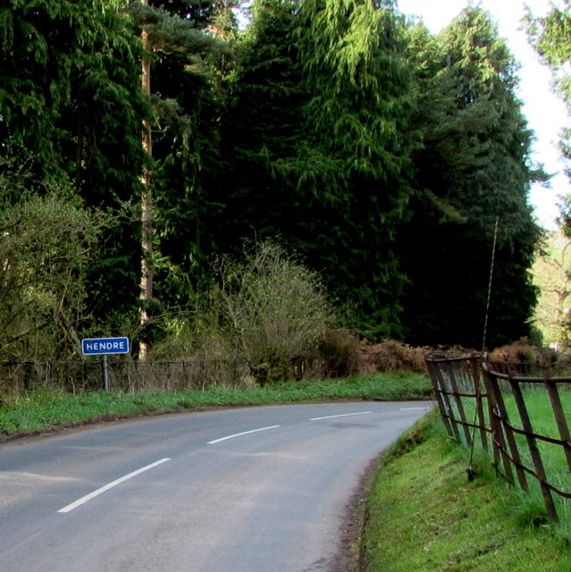
Hendre Great Wood is located at Grid Ref: SO4612 (Lat: 51.812853, Lng: -2.7799004)
Unitary Authority: Monmouthshire
Police Authority: Gwent
What 3 Words
///amicably.afterglow.blackouts. Near Mitchel Troy, Monmouthshire
Nearby Locations
Related Wikis

Grace Dieu Abbey, Monmouth
Grace Dieu Abbey was a small Cistercian abbey established in 1226 near to the town of Monmouth in south east Wales. No remains of its buildings can now...

The Hendre
The Hendre, (Welsh: Yr Hendre a farmer's winter residence; literally meaning old home) in Rockfield, is the only full-scale Victorian country house in...

White Hill, Monmouth
White Hill is a hill rising to over 205 metres (673 ft) to the west of the town of Monmouth, South Wales and north of Wonastow. Much of it is covered by...

Treowen
Treowen (or Tre-owen) is an early 17th-century house in Monmouthshire, Wales, regarded as "the most important gentry house (of its date) in the county...
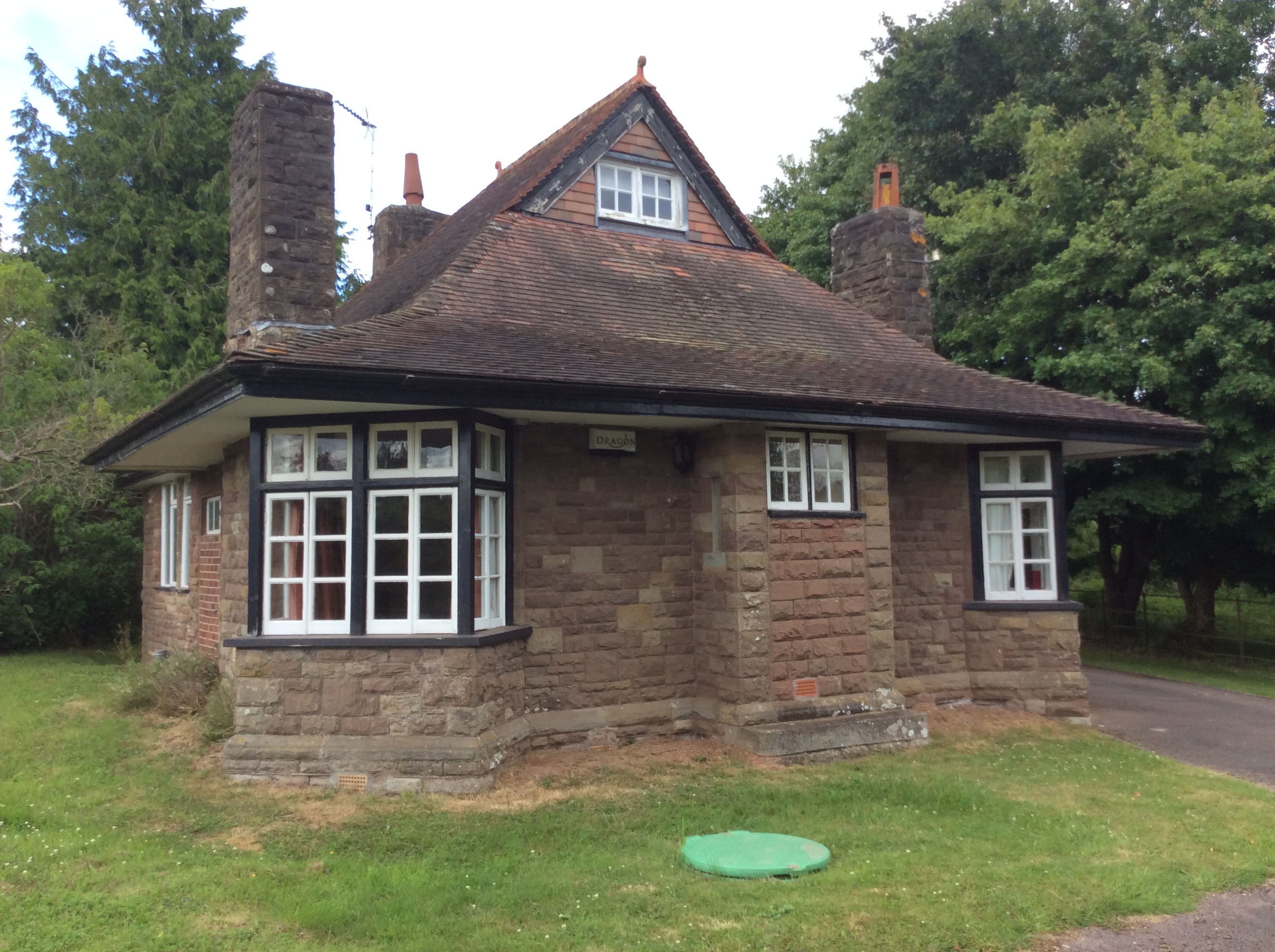
Swiss Cottage, Rockfield
The Swiss Cottage, Rockfield, Monmouthshire is a gatehouse to The Hendre estate and was designed by Sir Aston Webb in 1905. It is a Grade II* listed building...
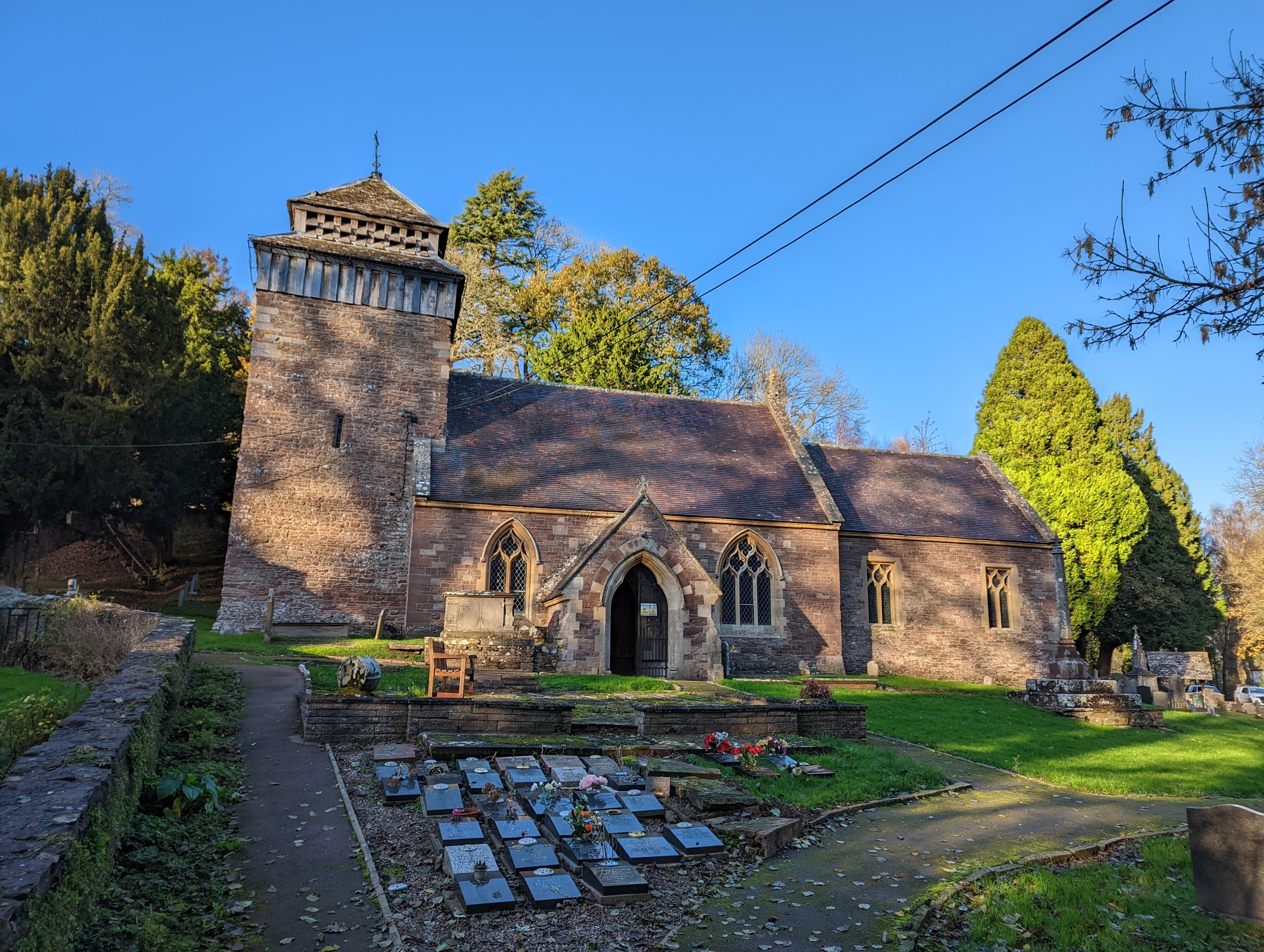
St Cenedlon's Church, Rockfield
St Cenedlon's is a parish church in the village of Rockfield, Monmouthshire, Wales. The dedication to St Cenedlon is unusual and the history of the saint...

Dingestow
Dingestow (pronounced DINJ-stoh, Welsh: Llanddingad) is a small village in Monmouthshire, Wales. It is located 4 miles (6.4 km) south-west of Monmouth...
Rockfield, Monmouthshire
Rockfield is a small village in the community of Whitecastle, Monmouthshire, Southeast Wales. It is located beside the River Monnow, about 2 miles (3...
Have you been to Hendre Great Wood?
Leave your review of Hendre Great Wood below (or comments, questions and feedback).