Deerbarn Wood
Wood, Forest in Flintshire
Wales
Deerbarn Wood
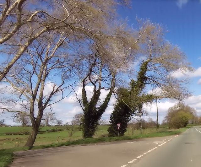
Deerbarn Wood is a picturesque forest located in Flintshire, Wales. Covering an area of approximately 50 hectares, this wood is a popular destination for nature enthusiasts and those seeking tranquility in a beautiful natural setting.
The woodland is predominantly composed of broadleaf trees, including oak, birch, and beech, which create a dense canopy that provides shade and shelter for a variety of wildlife. The forest floor is adorned with a carpet of ferns, bluebells, and other wildflowers, adding vibrant colors to the landscape during spring and summer.
Deerbarn Wood is home to a diverse range of wildlife. Visitors may spot fallow deer grazing peacefully among the trees, and if they are lucky, they may even catch a glimpse of the elusive red squirrel, which is native to this area. The forest also provides habitat for a variety of bird species, such as woodpeckers, owls, and songbirds, making it a haven for birdwatchers.
Several well-maintained walking trails wind through Deerbarn Wood, allowing visitors to explore its natural beauty at their own pace. These trails provide access to hidden gems within the forest, such as a small stream and a secluded pond, where visitors can relax and immerse themselves in the peaceful atmosphere.
Deerbarn Wood is managed by the local authorities, who strive to preserve its natural beauty and protect its inhabitants. As such, visitors are encouraged to follow the designated paths and respect the wildlife and vegetation that call this forest their home.
In conclusion, Deerbarn Wood is a captivating woodland in Flintshire, offering visitors a chance to escape the hustle and bustle of everyday life and connect with nature. Its diverse ecosystem and well-maintained trails make it a perfect destination for outdoor enthusiasts and those seeking a tranquil retreat.
If you have any feedback on the listing, please let us know in the comments section below.
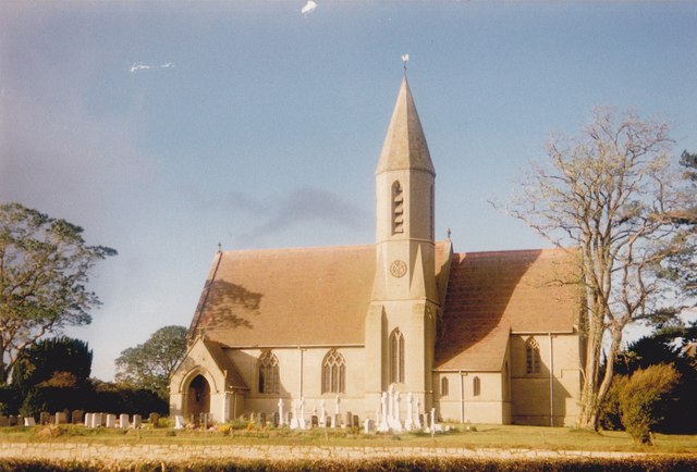
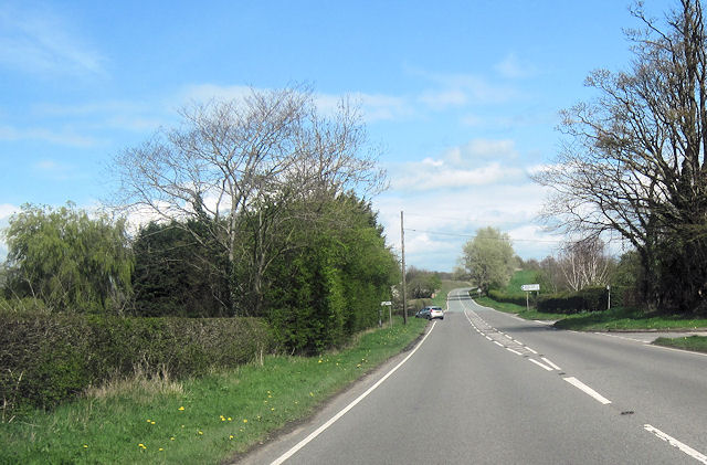
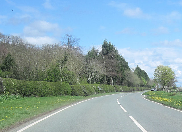
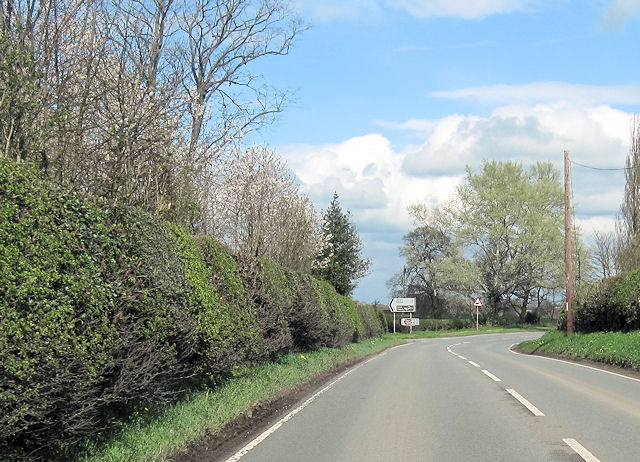
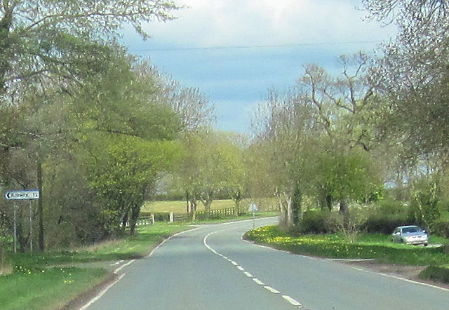
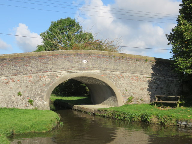
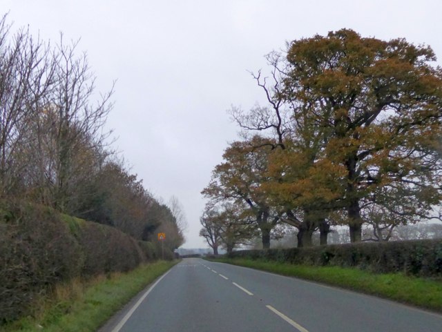
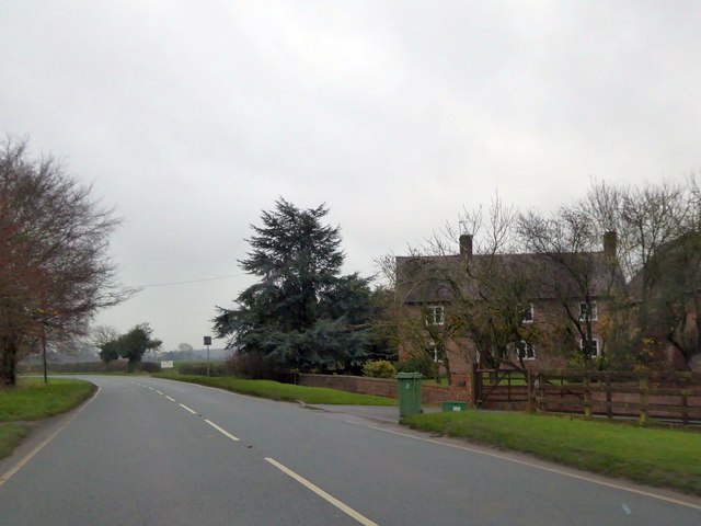
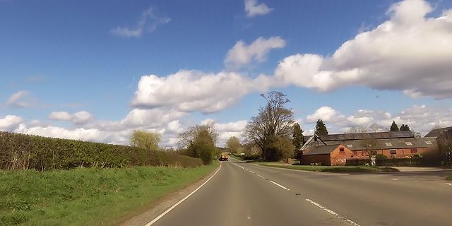
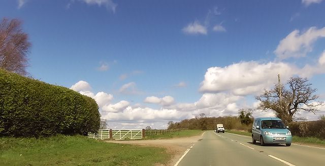
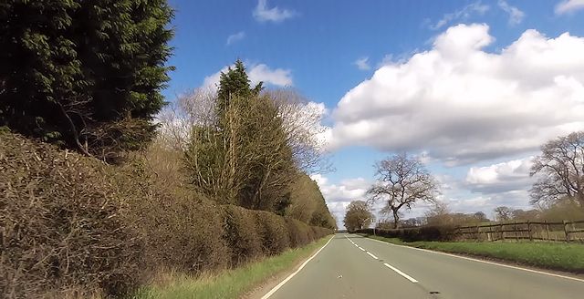
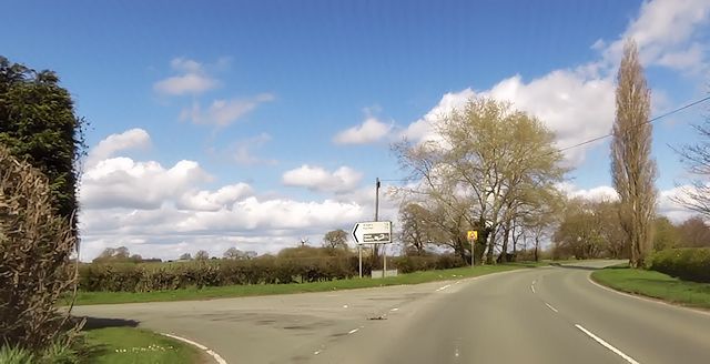
Deerbarn Wood Images
Images are sourced within 2km of 52.931112/-2.8127108 or Grid Reference SJ4537. Thanks to Geograph Open Source API. All images are credited.


Deerbarn Wood is located at Grid Ref: SJ4537 (Lat: 52.931112, Lng: -2.8127108)
Unitary Authority: Wrexham
Police Authority: North Wales
What 3 Words
///baseballs.craftsman.mammal. Near Ellesmere, Shropshire
Nearby Locations
Related Wikis

Breaden Heath
Breaden Heath is a small village in Shropshire, England. It lies right on the border with Wales.

Bettisfield railway station
Bettisfield railway station was a station in Bettisfield, Wrexham, Wales. The station was opened on 4 May 1863 and closed on 18 January 1965. == Details... ==

Arowry
Arowry (Welsh: Yr Owredd) is a village in the community of Hanmer in the rural south-east of Wrexham County Borough, Wales, near the border with England...

Hanmer Mere
Hanmer Mere (Welsh: Llyn Hanmer) is a natural lake and Site of Special Scientific Interest in Wrexham County Borough, Wales. The village of Hanmer is at...

Bettisfield
Bettisfield (Welsh: Llys Bedydd; standardised: Bettisfield) is a village of about 150 dwellings in Wrexham County Borough, Wales and stands on the Wales...

Welshampton rail crash
The Welshampton rail crash was a fatal railway accident in the Welsh borders village of Welshampton on 11 June 1897. It resulted in the deaths of 12 people...
Hanmer, Wrexham
Hanmer is a village and community in Wrexham County Borough, Wales. At the 2001 Census the population of the Hanmer community area, which includes Hanmer...
Welshampton railway station
Welshampton railway station was a station in Welshampton, Shropshire, England. The station was opened on 4 May 1863 and closed on 18 January 1965.The station...
Nearby Amenities
Located within 500m of 52.931112,-2.8127108Have you been to Deerbarn Wood?
Leave your review of Deerbarn Wood below (or comments, questions and feedback).