Bettisfield Park
Downs, Moorland in Flintshire
Wales
Bettisfield Park
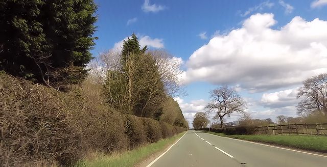
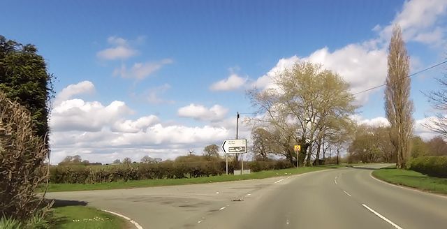
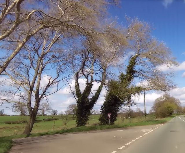
Bettisfield Park is a picturesque natural park located in Flintshire, Wales. It spans over a vast area encompassing both Downs and Moorland environments, offering visitors a diverse and stunning landscape to explore.
The park is well-known for its rolling hills and expansive meadows, providing a serene and tranquil setting for nature enthusiasts and outdoor lovers. The Downs area of Bettisfield Park offers breathtaking views of the surrounding countryside, with its gentle slopes covered in lush green grass and dotted with colorful wildflowers during the spring and summer months.
On the other hand, the Moorland section of the park presents a more rugged and wild landscape. Here, visitors will find vast stretches of open moors, characterized by heather-covered hills and peat bogs. This unique habitat supports a variety of wildlife, including birds of prey, such as kestrels and peregrine falcons, as well as rare species of plants and insects.
Bettisfield Park is a haven for outdoor activities, such as hiking, walking, and birdwatching. There are several well-maintained trails that wind their way through the park, providing visitors with the opportunity to explore its natural wonders at their own pace. The park also has designated picnic areas and benches, allowing visitors to relax and soak in the peaceful surroundings.
Overall, Bettisfield Park in Flintshire is a hidden gem for nature lovers, offering a stunning combination of Downs and Moorland landscapes. Whether it's the gentle slopes of the Downs or the rugged beauty of the Moorland, this park provides a captivating experience for all who visit.
If you have any feedback on the listing, please let us know in the comments section below.
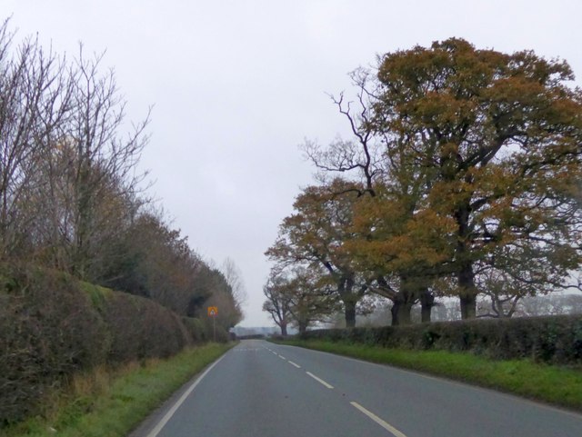
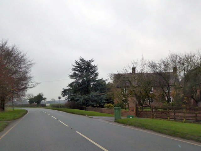
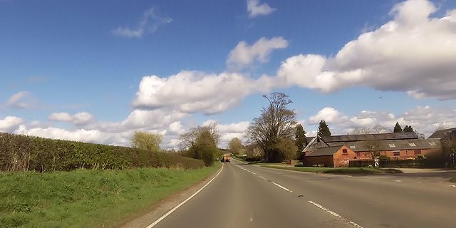
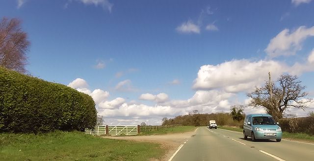
Bettisfield Park Images
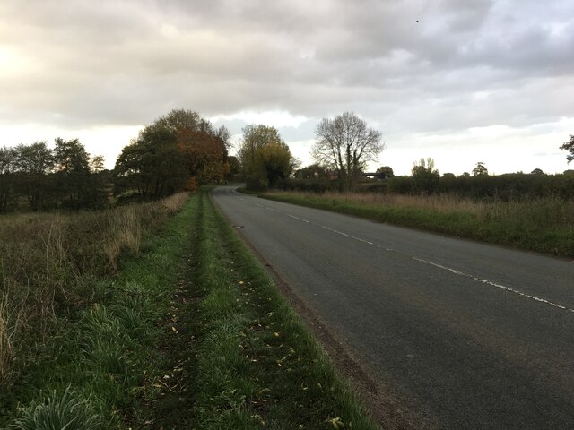
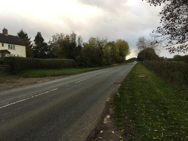
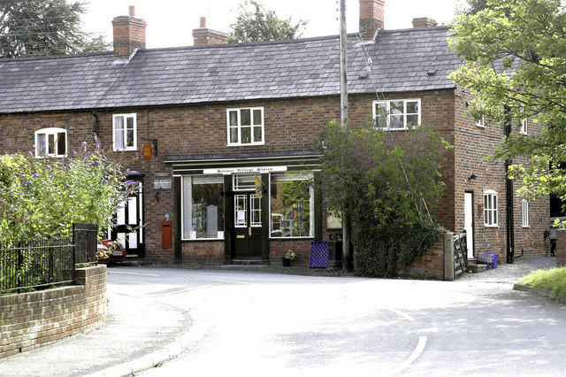
Images are sourced within 2km of 52.934079/-2.8151767 or Grid Reference SJ4537. Thanks to Geograph Open Source API. All images are credited.
Bettisfield Park is located at Grid Ref: SJ4537 (Lat: 52.934079, Lng: -2.8151767)
Unitary Authority: Wrexham
Police Authority: North Wales
What 3 Words
///adjusted.basher.illogical. Near Ellesmere, Shropshire
Nearby Locations
Related Wikis

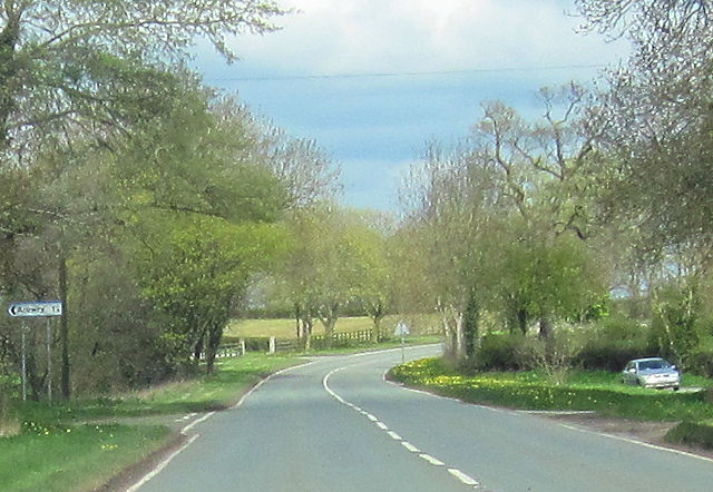
Arowry
Arowry (Welsh: Yr Owredd) is a village in the community of Hanmer in the rural south-east of Wrexham County Borough, Wales, near the border with England...

Breaden Heath
Breaden Heath is a small village in Shropshire, England. It lies right on the border with Wales.

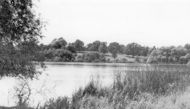
Hanmer Mere
Hanmer Mere (Welsh: Llyn Hanmer) is a natural lake and Site of Special Scientific Interest in Wrexham County Borough, Wales. The village of Hanmer is at...
Hanmer, Wrexham
Hanmer is a village and community in Wrexham County Borough, Wales. At the 2001 Census the population of the Hanmer community area, which includes Hanmer...
Nearby Amenities
Located within 500m of 52.934079,-2.8151767Have you been to Bettisfield Park?
Leave your review of Bettisfield Park below (or comments, questions and feedback).