Warper's Moss

Downs, Moorland in Lancashire West Lancashire

England

Warper's Moss

Abbey Brook
Abbey Brook Credit: Thomas Petersson

The requested URL returned error: 429 Too Many Requests

If you have any feedback on the listing, please let us know in the comments section below.

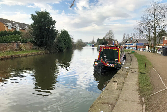
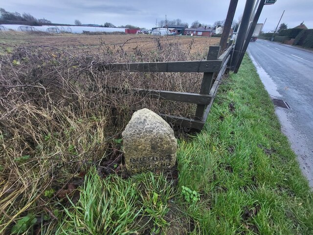
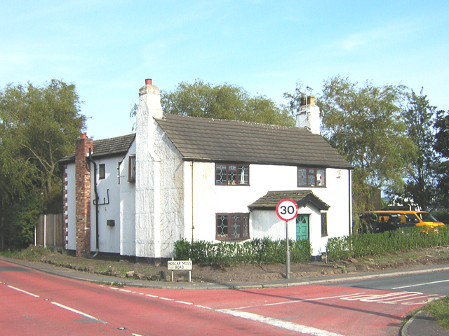
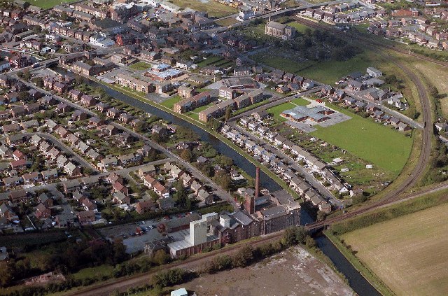
Warper's Moss Images

Images are sourced within 2km of 53.606828/-2.8280192 or Grid Reference SD4512. Thanks to Geograph Open Source API. All images are credited.

Abbey Brook
Abbey Brook
Heather Close - Burscough
Petrol Station on Briar's Lane
Arriving at Burscough Junction bound for Preston - 150130
Hoscar Station - looking east towards Wigan
Burscough Bridge, Leeds and Liverpool Canal The Leeds and Liverpool Canal is the longest canal in Northern England at 127 miles long. The first of the trans-Pennine canals it took 46 years to build at a cost of five times the original budget, mainly because of the length and complexity of the route. It passes through 91 locks with a summit level of 487 feet at Foulridge near Nelson and Colne. It was originally conceived in the 18th century to carry woollen goods from Leeds and Bradford and limestone from Skipton but in its 19th century heyday it carried stone, coal and many other goods. The impact of the railways was not as great as with other canals and commercial traffic continued along the main canal until 1964. Regular work stopped in 1972 when the movement of coal to Wigan Power Station ceased. In the latter part of the 20th century the leisure potential of the canal was developed and it is now a popular destination for cruising, fishing, walking and cycling. See <span class="nowrap"><a title="http://www.penninewaterways.co.uk/ll/index.htm" rel="nofollow ugc noopener" href="http://www.penninewaterways.co.uk/ll/index.htm">Link</a><img style="margin-left:2px;" alt="External link" title="External link - shift click to open in new window" src="https://s1.geograph.org.uk/img/external.png" width="10" height="10"/></span> for detailed information.
Burscough Bridge, Leeds and Liverpool Canal
The Leeds and Liverpool Canal is the longest canal in Northern England at 127 miles long. The first of the trans-Pennine canals it took 46 years to build at a cost of five times the original budget, mainly because of the length and complexity of the route. It passes through 91 locks with a summit level of 487 feet at Foulridge near Nelson and Colne. It was originally conceived in the 18th century to carry woollen goods from Leeds and Bradford and limestone from Skipton but in its 19th century heyday it carried stone, coal and many other goods. The impact of the railways was not as great as with other canals and commercial traffic continued along the main canal until 1964. Regular work stopped in 1972 when the movement of coal to Wigan Power Station ceased. In the latter part of the 20th century the leisure potential of the canal was developed and it is now a popular destination for cruising, fishing, walking and cycling. See LinkExternal link for detailed information.
Leeds and Liverpool Canal at Burscough Bridge The Leeds and Liverpool Canal is the longest canal in Northern England at 127 miles long. The first of the trans-Pennine canals it took 46 years to build at a cost of five times the original budget, mainly because of the length and complexity of the route. It passes through 91 locks with a summit level of 487 feet at Foulridge near Nelson and Colne. It was originally conceived in the 18th century to carry woollen goods from Leeds and Bradford and limestone from Skipton but in its 19th century heyday it carried stone, coal and many other goods. The impact of the railways was not as great as with other canals and commercial traffic continued along the main canal until 1964. Regular work stopped in 1972 when the movement of coal to Wigan Power Station ceased. In the latter part of the 20th century the leisure potential of the canal was developed and it is now a popular destination for cruising, fishing, walking and cycling. See <span class="nowrap"><a title="http://www.penninewaterways.co.uk/ll/index.htm" rel="nofollow ugc noopener" href="http://www.penninewaterways.co.uk/ll/index.htm">Link</a><img style="margin-left:2px;" alt="External link" title="External link - shift click to open in new window" src="https://s1.geograph.org.uk/img/external.png" width="10" height="10"/></span> for detailed information.
Leeds and Liverpool Canal at Burscough Bridge
The Leeds and Liverpool Canal is the longest canal in Northern England at 127 miles long. The first of the trans-Pennine canals it took 46 years to build at a cost of five times the original budget, mainly because of the length and complexity of the route. It passes through 91 locks with a summit level of 487 feet at Foulridge near Nelson and Colne. It was originally conceived in the 18th century to carry woollen goods from Leeds and Bradford and limestone from Skipton but in its 19th century heyday it carried stone, coal and many other goods. The impact of the railways was not as great as with other canals and commercial traffic continued along the main canal until 1964. Regular work stopped in 1972 when the movement of coal to Wigan Power Station ceased. In the latter part of the 20th century the leisure potential of the canal was developed and it is now a popular destination for cruising, fishing, walking and cycling. See LinkExternal link for detailed information.
Mile Marker, Leeds & Liverpool Canal On the towpath, 720m West of Burscough Bridge, Liverpool Road bridge (A59). The milestone marks 23½ miles from Liverpool.

Inscription: ½

Milestone Society National ID: LLC-023½
Mile Marker, Leeds & Liverpool Canal
On the towpath, 720m West of Burscough Bridge, Liverpool Road bridge (A59). The milestone marks 23½ miles from Liverpool. Inscription: ½ Milestone Society National ID: LLC-023½
Mile Marker, Leeds & Liverpool Canal On the towpath in front of a wooden fence and gate. The milestone marks 25 ¼ miles from Liverpool and Leeds 102. Being ¼ mile marker it would not have had an inscription.

Milestone Society National ID: LLC-025¼
Mile Marker, Leeds & Liverpool Canal
On the towpath in front of a wooden fence and gate. The milestone marks 25 ¼ miles from Liverpool and Leeds 102. Being ¼ mile marker it would not have had an inscription. Milestone Society National ID: LLC-025¼
Mile Marker, Leeds & Liverpool Canal On the towpath West of bridge 35. The milestone marks 25 ½ miles from Liverpool and Leeds 101 ¾.

Inscription: ½

Milestone Society National ID: LLC-025½
Mile Marker, Leeds & Liverpool Canal
On the towpath West of bridge 35. The milestone marks 25 ½ miles from Liverpool and Leeds 101 ¾. Inscription: ½ Milestone Society National ID: LLC-025½
Old Boundary Marker beside the A59 Causeway Lane Parish Boundary Marker on the east side of the A59 Causeway Lane beside a farm track. Inscribed RUFFORD / LEYLAND (/ HUNDRED hidden) and LATHOM / WEST (/ DERBY / HUNDRED hidden) on adjacent faces. Formerly on the boundary of Rufford and Lathom parishes but now on the boundary of Rufford and Burscough parishes. For an older photo showing the full inscription, see <a title="https://www.geograph.org.uk/photo/6083838" href="https://www.geograph.org.uk/photo/6083838">Link</a>. See also <a title="https://www.geograph.org.uk/photo/5304210" href="https://www.geograph.org.uk/photo/5304210">Link</a>.

Milestone Society National ID: LA_RUFLAT01pb
Old Boundary Marker beside the A59 Causeway Lane
Parish Boundary Marker on the east side of the A59 Causeway Lane beside a farm track. Inscribed RUFFORD / LEYLAND (/ HUNDRED hidden) and LATHOM / WEST (/ DERBY / HUNDRED hidden) on adjacent faces. Formerly on the boundary of Rufford and Lathom parishes but now on the boundary of Rufford and Burscough parishes. For an older photo showing the full inscription, see Link. See also Link. Milestone Society National ID: LA_RUFLAT01pb
Top Locks, Burscough. Junction of Leeds and Liverpool Canal and Rufford Branch
Top Locks, Burscough.
Junction of Leeds and Liverpool Canal and Rufford Branch
Ainscough's Corn Mill, Burscough
Leeds and Liverpool Canal, Burscough Ainscough's Corn Mill in distance.
Leeds and Liverpool Canal, Burscough
Ainscough's Corn Mill in distance.
Top Locks, Burscough Junction of Leeds and Liverpool Canal with Rufford Branch
Top Locks, Burscough
Junction of Leeds and Liverpool Canal with Rufford Branch
House at the Crossroads This white cottage forms a landmark on otherwise flat terrain and is situated at the junction of five roads
House at the Crossroads
This white cottage forms a landmark on otherwise flat terrain and is situated at the junction of five roads
The Bridge at Burscough Bridge Crosses the Leeds & Liverpool Canal
The Bridge at Burscough Bridge
Crosses the Leeds & Liverpool Canal
Burscough Bridge 1981 I have 100s of North Merseyside aerial pictures
Burscough Bridge 1981
I have 100s of North Merseyside aerial pictures
Show me another place!

Warper's Moss is located at Grid Ref: SD4512 (Lat: 53.606828, Lng: -2.8280192)

Administrative County: Lancashire

District: West Lancashire

Police Authority: Lancashire

What 3 Words

///swerves.bandaged.verifying. Near Burscough, Lancashire

Nearby Locations

Warper's Moss

Related Wikis

St John the Baptist Church, Burscough

St John the Baptist Church is in Liverpool Road North, Burscough, Lancashire, England. It is an active Anglican parish church in the deanery of Ormskirk...

Burscough Bridge railway station

Burscough Bridge railway station (pronounced Burs/co Bridge) is one of two railway stations which serves the town of Burscough in Lancashire, England....

Burscough Methodist Church

Burscough Methodist Church, formally Wesleyan Chapel at Burscough Bridge, is situated in Burscough and is part of the Lancashire West Methodist Circuit...

Formby F.C.

Formby Football Club is an English football club based in Formby, Merseyside. They played in the Liverpool County Premier League Division One for the 2022...

Nearby Amenities

Located within 500m of 53.606828,-2.8280192
Railway: level_crossing
Lat/Long: 53.6107452/-2.827872
Crossing
Lat/Long: 53.60362/-2.8293795
Bench
Backrest: yes
Lat/Long: 53.6053526/-2.8292197
The data included in this document is from www.openstreetmap.org. The data is made available under ODbL.

Have you been to Warper's Moss?

Leave your review of Warper's Moss below (or comments, questions and feedback).