Spensal Brae
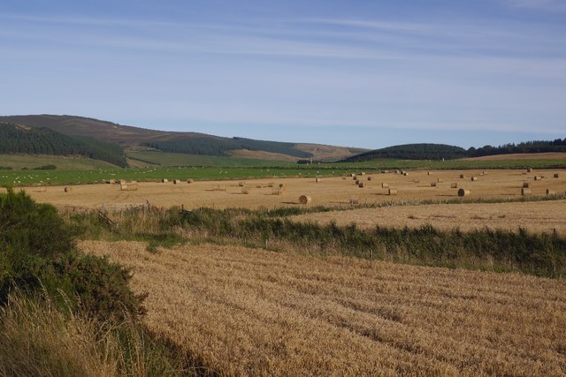
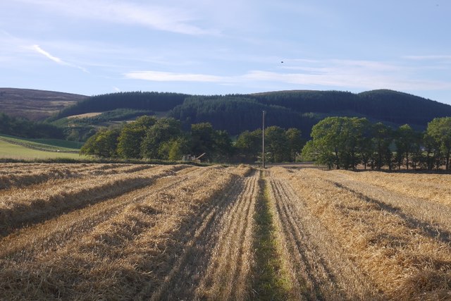
Downs, Moorland in Aberdeenshire
Scotland
Spensal Brae
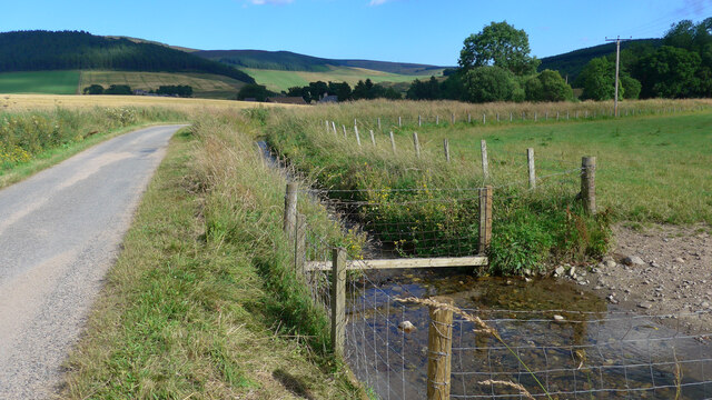
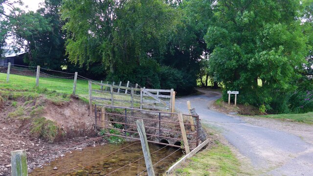
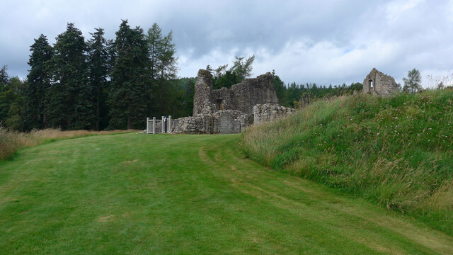
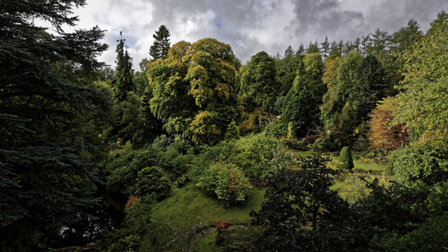
Spensal Brae is a picturesque area located in Aberdeenshire, Scotland. Situated amidst the enchanting Downs and Moorland, this region offers breathtaking natural beauty and a tranquil ambiance. The area is known for its undulating hills, stunning landscapes, and diverse wildlife.
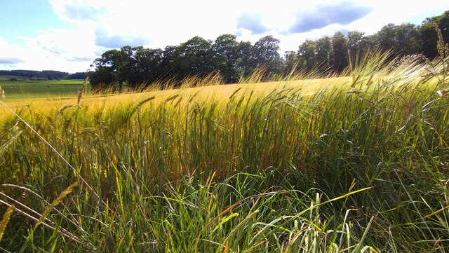
The Downs of Spensal Brae are characterized by rolling hills covered in lush green grass. Visitors can enjoy long walks and hikes, taking in the panoramic views of the surrounding countryside. The open expanses provide ample space for outdoor activities such as picnicking, kite flying, or simply basking in the sun.
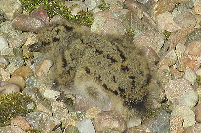
Adjacent to the Downs, the Moorland of Spensal Brae offers a stark contrast with its rugged terrain and heather-covered hills. This area is home to a variety of unique flora and fauna, including grouse, deer, and birds of prey. Nature enthusiasts and bird watchers flock to this region to witness the impressive array of wildlife in their natural habitat.
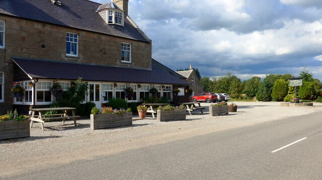
Spensal Brae is also dotted with charming cottages and farmhouses, adding to its idyllic charm. The local community is known for its warm hospitality and welcoming nature, making visitors feel right at home.
For those seeking a peaceful retreat amidst nature's wonders, Spensal Brae in Aberdeenshire is the perfect destination. Whether it's exploring the Downs or immersing oneself in the Moorland, this area promises an unforgettable experience for nature lovers and adventure seekers alike.
If you have any feedback on the listing, please let us know in the comments section below.
Spensal Brae Images
Images are sourced within 2km of 57.248937/-2.9081505 or Grid Reference NJ4517. Thanks to Geograph Open Source API. All images are credited.


Spensal Brae is located at Grid Ref: NJ4517 (Lat: 57.248937, Lng: -2.9081505)
Unitary Authority: Aberdeenshire
Police Authority: North East
What 3 Words
///trial.boating.carriage. Near Alford, Aberdeenshire
Nearby Locations
Related Wikis
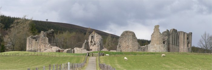
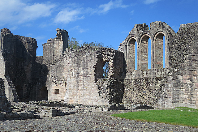
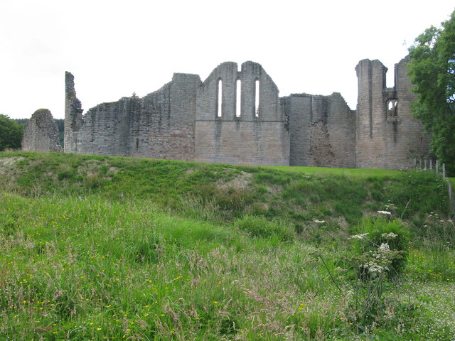
Kildrummy Castle
Kildrummy Castle is a ruined castle near Kildrummy, in Aberdeenshire, Scotland. Though ruined, it is one of the most extensive castles dating from the...

Scottish Sculpture Open
The Scottish Sculpture Open exhibition, sometimes known as the Kildrummy Open, was organised by the Scottish Sculpture Workshop from 1981 to 1997. The...

Kildrummy
Kildrummy (Scottish Gaelic: Cionn Droma) is a hamlet in Aberdeenshire, Scotland near the River Don, 7 miles (11 kilometres) west of Alford. The hamlet...

Mossat
Mossat is a settlement in Aberdeenshire, Scotland on the A97 road near Glenkindie and Lumsden, between Bridge of Alford and Strathdon, and is situated...
Nearby Amenities
Located within 500m of 57.248937,-2.9081505Have you been to Spensal Brae?
Leave your review of Spensal Brae below (or comments, questions and feedback).