Cribba Wood
Wood, Forest in Monmouthshire
Wales
Cribba Wood
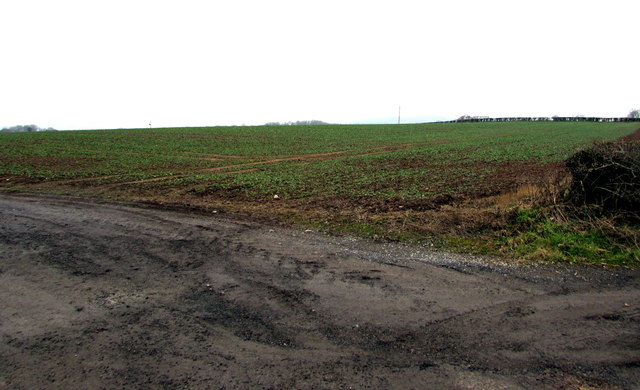
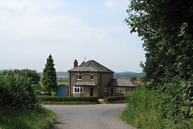
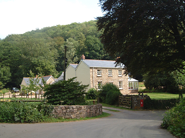
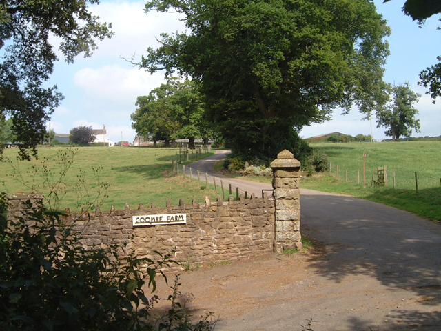
Cribba Wood is a picturesque woodland located in Monmouthshire, Wales. Covering an area of approximately 40 acres, it is a popular destination for nature enthusiasts and outdoor lovers. The wood is situated near the town of Monmouth and is easily accessible for both locals and tourists.
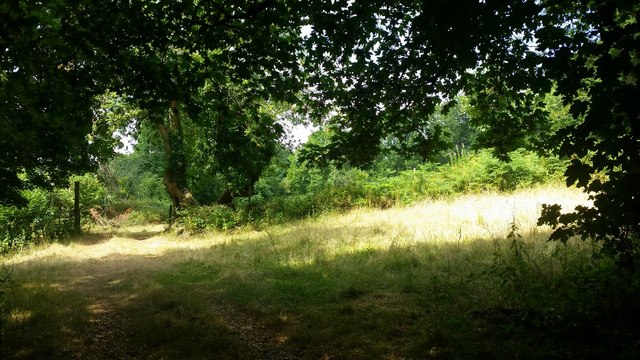
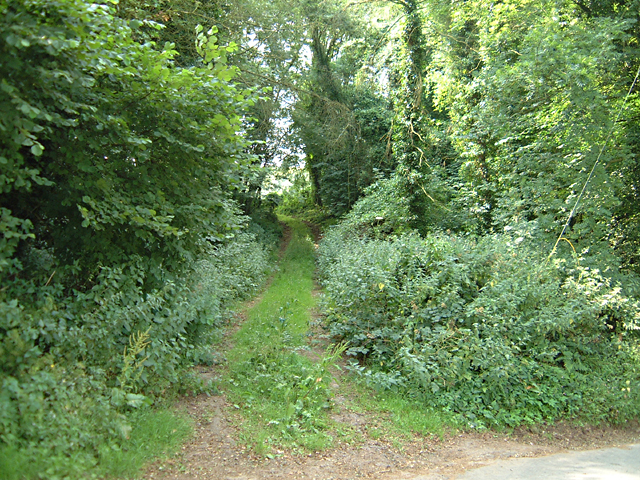
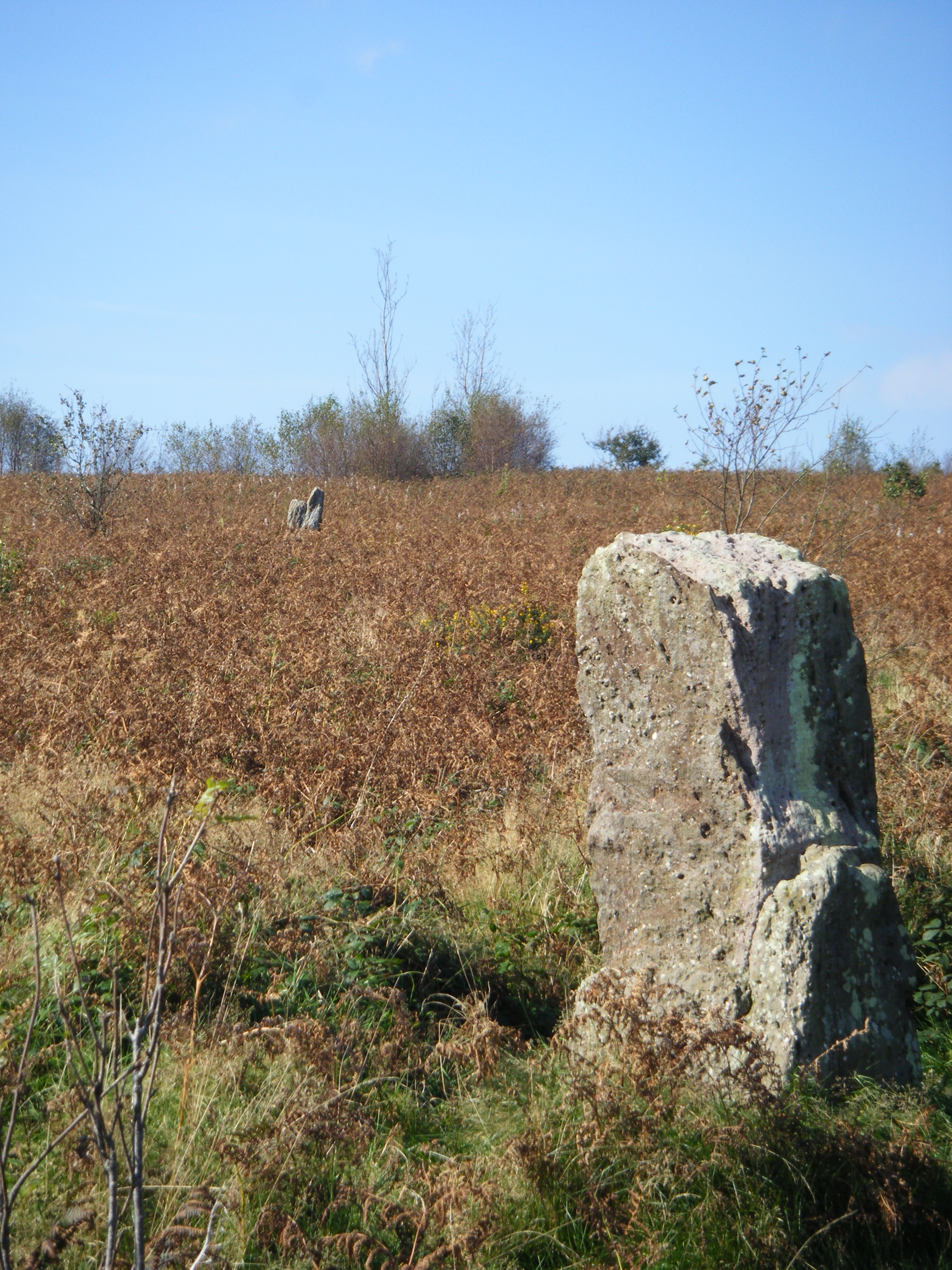
The woodland is predominantly composed of native broadleaf trees, such as oak, beech, and ash, creating a diverse and vibrant ecosystem. These trees provide a habitat for a variety of woodland creatures, including birds, squirrels, and deer. The forest floor is covered in a thick carpet of mosses, ferns, and wildflowers, creating a stunning display of colors and textures.
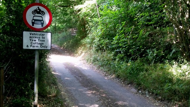
There are several walking trails meandering through Cribba Wood, offering visitors the chance to explore its natural beauty. These paths are well-maintained and suitable for all ages and fitness levels. Along the way, walkers can enjoy the peaceful ambiance of the forest, listen to the soothing sounds of birdsong, and breathe in the fresh, clean air.
Cribba Wood is a protected area, and efforts have been made to preserve its natural state. The woodland is managed by local authorities who ensure that it remains a haven for wildlife and a place for people to connect with nature. Visitors are encouraged to respect the environment by not littering and staying on designated paths.
Overall, Cribba Wood is a tranquil oasis in Monmouthshire, offering a serene escape from the hustle and bustle of daily life. Its natural beauty, diverse wildlife, and well-maintained trails make it a perfect destination for anyone seeking a peaceful and rejuvenating experience in the heart of nature.
If you have any feedback on the listing, please let us know in the comments section below.
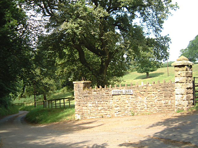
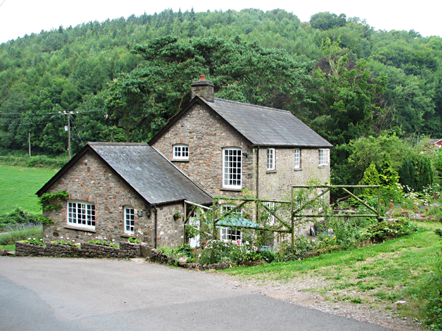
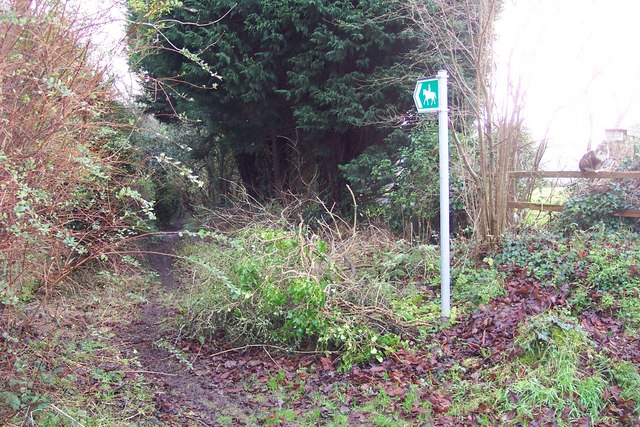
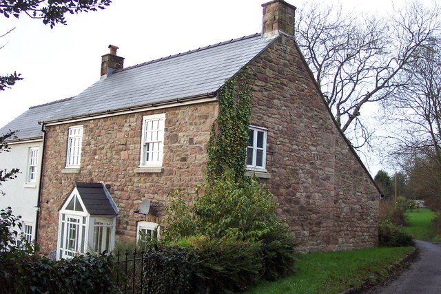
Cribba Wood Images
Images are sourced within 2km of 51.63852/-2.7894047 or Grid Reference ST4593. Thanks to Geograph Open Source API. All images are credited.


Cribba Wood is located at Grid Ref: ST4593 (Lat: 51.63852, Lng: -2.7894047)
Unitary Authority: Monmouthshire
Police Authority: Gwent
What 3 Words
///uproot.deals.tightest. Near Llanvaches, Newport
Nearby Locations
Related Wikis

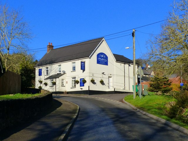
Llanvair Discoed
Llanvair Discoed (Welsh: Llanfair Is Coed) is a small village in Monmouthshire, south-east Wales, 6 miles west of Chepstow and 10 miles east of Newport...
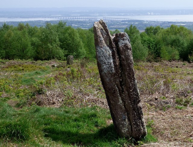
Gray Hill, Monmouthshire
Gray Hill (Welsh: Mynydd Llwyd) is a hill immediately to the north of the village of Llanvair Discoed, Monmouthshire, South Wales, rising to 896 feet...

Shirenewton
Shirenewton (Welsh: Drenewydd Gelli-farch) is a village and community in Monmouthshire, south east Wales. It is located 3 miles due west of Chepstow,...
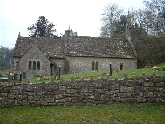
Church of St Thomas a Becket, Shirenewton
The Church of St Thomas a Becket is located in Shirenewton, Monmouthshire, Wales. In the late 12th century the land was inherited by Henry de Bohun. The...

Shirenewton Hall
Shirenewton Hall, originally Shirenewton Court, is a country house and estate adjoining the village of Shirenewton, Monmouthshire, Wales, about 3 miles...

Wentwood
Wentwood (Welsh: Coed Gwent), in Monmouthshire, South Wales, is a forested area of hills, rising to 1,014 feet (309 m) above sea level. It is located to...

Llanvaches
Llanvaches or Llanfaches is a village and community parish within the boundaries of the city of Newport, Wales. It lies to the east of the urban area...

Earlswood, Monmouthshire
Earlswood (Welsh: Coed-yr-iarll) is a rural area of scattered settlement in Monmouthshire, south east Wales, United Kingdom. It is located five miles...
Nearby Amenities
Located within 500m of 51.63852,-2.7894047Have you been to Cribba Wood?
Leave your review of Cribba Wood below (or comments, questions and feedback).