The Oakes

Wood, Forest in Monmouthshire

Wales

The Oakes

Descending Gray Hill Overlooking Wentwood.
See <a title="https://www.geograph.org.uk/photo/1097852" href="https://www.geograph.org.uk/photo/1097852">Link</a> for a similar view 13 years later.
Descending Gray Hill Credit: Robin Drayton

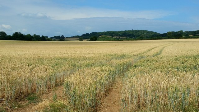
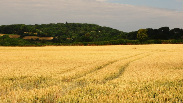
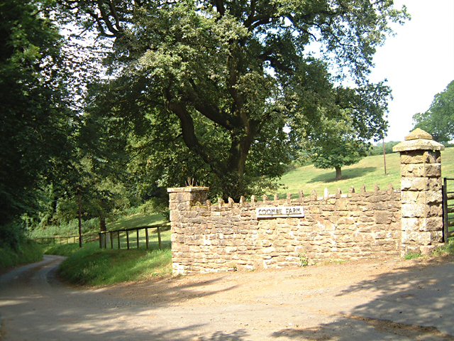
The Oakes, located in Monmouthshire, Wales, is a magnificent woodland area renowned for its natural beauty and diverse ecosystem. Covering an extensive area of lush greenery, The Oakes is a haven for nature enthusiasts and outdoor adventurers alike.

The woodland is predominantly composed of oak trees, which give the area its name, but it also features a wide range of other tree species, including beech, birch, and pine. This mix of trees creates a visually stunning and serene environment, especially during the autumn season when the foliage displays vibrant shades of red, orange, and gold.

Within The Oakes, visitors can explore a network of walking trails that wind through the forest, providing opportunities for peaceful strolls and invigorating hikes. The paths are well-maintained and offer varying levels of difficulty, catering to all fitness levels and preferences. Along the way, visitors may encounter an array of wildlife, such as squirrels, deer, and a multitude of bird species which call the woodland their home.

The Oakes is not only a place of natural beauty but also an important conservation area. Efforts are made to protect the delicate ecosystem and preserve the biodiversity found within the woodland. This dedication to conservation ensures that future generations can continue to enjoy the wonders of The Oakes for years to come.

Whether it's a leisurely walk, a picnic amidst the tranquility of nature, or simply a place to escape the hustle and bustle of everyday life, The Oakes in Monmouthshire offers a truly enchanting experience for all who venture into its lush embrace.

If you have any feedback on the listing, please let us know in the comments section below.
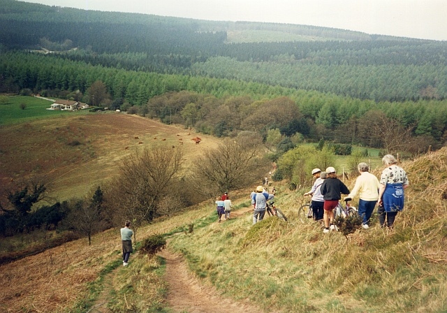
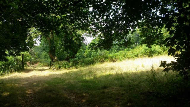
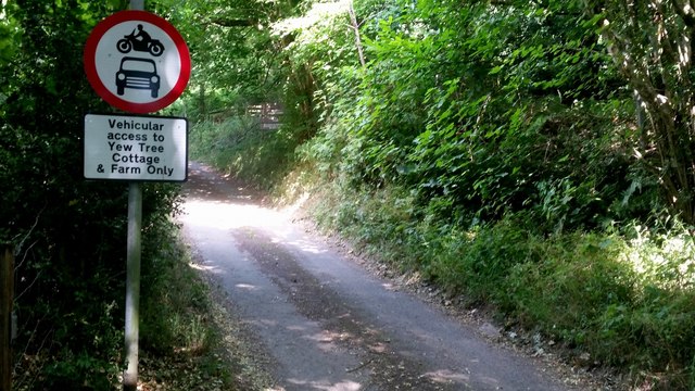
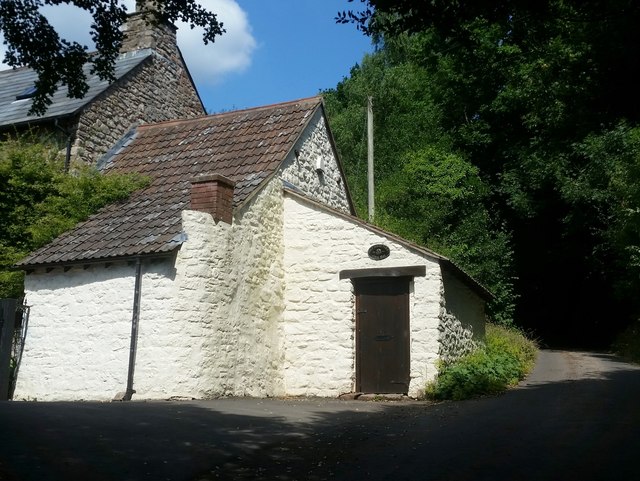
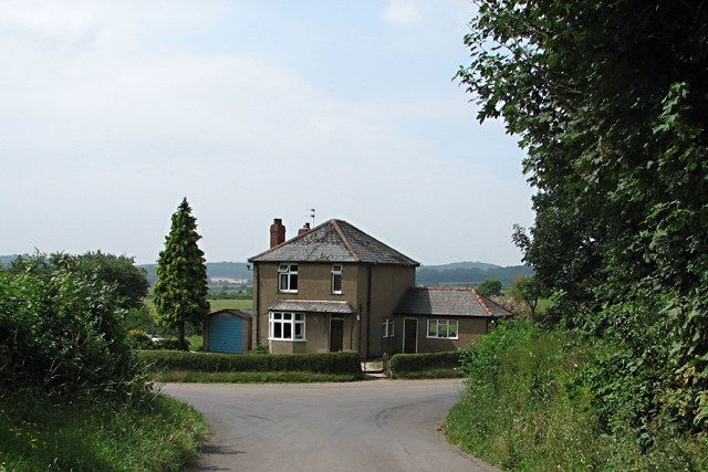
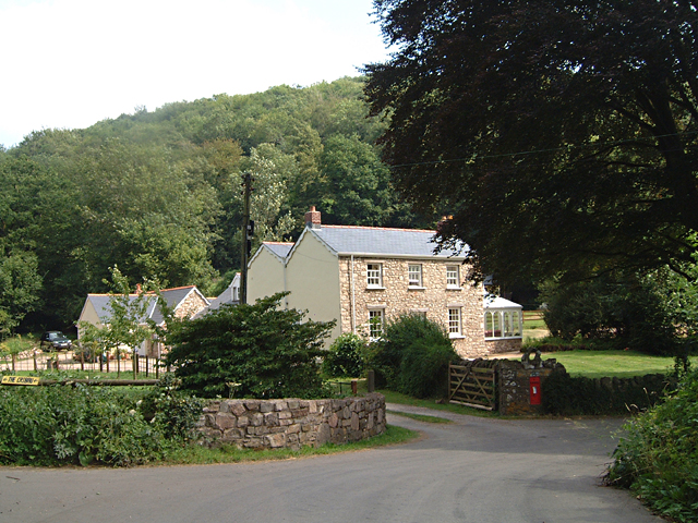
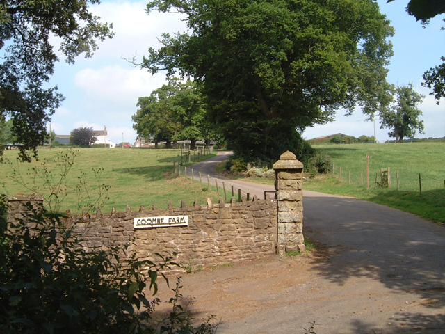
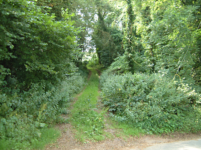
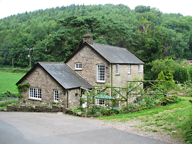
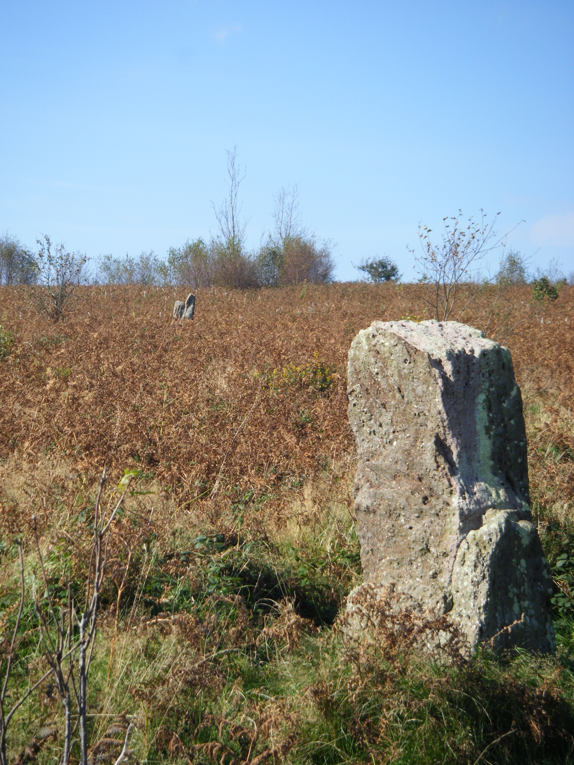
The Oakes Images

Images are sourced within 2km of 51.640554/-2.7957407 or Grid Reference ST4593. Thanks to Geograph Open Source API. All images are credited.

Descending Gray Hill Overlooking Wentwood.
See <a title="https://www.geograph.org.uk/photo/1097852" href="https://www.geograph.org.uk/photo/1097852">Link</a> for a similar view 13 years later.
Descending Gray Hill
Overlooking Wentwood. See Link for a similar view 13 years later.
Path to the common ground Crossing a bright sunlit grassy field,
Path to the common ground
Crossing a bright sunlit grassy field,
Vehicular access Best believe it; park up here and enjoy the walk.
Vehicular access
Best believe it; park up here and enjoy the walk.
Tile House Farm The substantial building is next to the road that leads to the Gray Hill access area.
Tile House Farm
The substantial building is next to the road that leads to the Gray Hill access area.
Ripening wheat An arable field to the west of Llanfair-Discoed and east of Llanvaches.
Ripening wheat
An arable field to the west of Llanfair-Discoed and east of Llanvaches.
Ripening wheat, 2 Telephoto shot from the same spot as <a href="https://www.geograph.org.uk/photo/5849974">ST4392 : Ripening wheat</a>.
The wooded hill in the distance is at Castell-prin Wood.
Ripening wheat, 2
Telephoto shot from the same spot as ST4392 : Ripening wheat. The wooded hill in the distance is at Castell-prin Wood.
The Woodlands Tavern, Llanvair Discoed
Gray Hill prehistoric stone row A probable single stone row measuring 78.7m long, including 6 different sized stones. The row is orientated north west to south east and leads from one side of a kerbed cairn. <span class="nowrap"><a title="https://stonerows.wordpress.com/gazetteer/region/wales/gray-hill/" rel="nofollow ugc noopener" href="https://stonerows.wordpress.com/gazetteer/region/wales/gray-hill/">Link</a><img style="margin-left:2px;" alt="External link" title="External link - shift click to open in new window" src="https://s1.geograph.org.uk/img/external.png" width="10" height="10"/></span>
Gray Hill prehistoric stone row
A probable single stone row measuring 78.7m long, including 6 different sized stones. The row is orientated north west to south east and leads from one side of a kerbed cairn. LinkExternal link
The Church at Llanvair Discoed
Gray Hill & Wentwood Reservoir
Earlswood Valley Methodist Chapel The small chapel is tucked away in a peaceful valley in the south east corner of Monmouthshire and yet is only a few miles away from the M4 motorway.
Earlswood Valley Methodist Chapel
The small chapel is tucked away in a peaceful valley in the south east corner of Monmouthshire and yet is only a few miles away from the M4 motorway.
Gray Hill, Wentwood This views looks eastwards from the summit of Gray Hill, Wentwood. It is an excellent viewpoint for both Severn Bridges, with easy access from Foresters Oaks Car Park nearby.
Gray Hill, Wentwood
This views looks eastwards from the summit of Gray Hill, Wentwood. It is an excellent viewpoint for both Severn Bridges, with easy access from Foresters Oaks Car Park nearby.
Underwood Cottage near Llanvair-Discoed This in an area of very narrow lanes, often with not enough room for two cars to pass.
Underwood Cottage near Llanvair-Discoed
This in an area of very narrow lanes, often with not enough room for two cars to pass.
Road Junction at The Cwm According to the OS map, Old Cwm Mill occupied this site. The road to the left leads to another mill, Cribau Mill. The road to the right leads to a house called The Lower Mill <a href="https://www.geograph.org.uk/gridref/ST4592">ST4592</a> and then to Shirenewton.
Road Junction at The Cwm
According to the OS map, Old Cwm Mill occupied this site. The road to the left leads to another mill, Cribau Mill. The road to the right leads to a house called The Lower Mill ST4592 and then to Shirenewton.
Coombe Farm This appears to be the only farm in grid square ST4693.
Coombe Farm
This appears to be the only farm in grid square ST4693.
Path to Ancient Fort/Camp This path starts opposite the entrance to Coombe Farm and ascends to the Ancient Fort/Camp at ST461925.
Path to Ancient Fort/Camp
This path starts opposite the entrance to Coombe Farm and ascends to the Ancient Fort/Camp at ST461925.
Road from Coombe Farm to Old Cwm Mill Very narrow road with not enough room for two vehicles to pass. The opposite direction leads to Shirenewton.
Road from Coombe Farm to Old Cwm Mill
Very narrow road with not enough room for two vehicles to pass. The opposite direction leads to Shirenewton.
The Lower Mill (Near Old Cwm Mill)
Show me another place!

The Oakes is located at Grid Ref: ST4593 (Lat: 51.640554, Lng: -2.7957407)

Unitary Authority: Monmouthshire

Police Authority: Gwent

What 3 Words

///tidal.emulated.slamming. Near Llanvaches, Newport

Related Wikis

Llanvair Discoed

Llanvair Discoed (Welsh: Llanfair Is Coed) is a small village in Monmouthshire, south-east Wales, 6 miles west of Chepstow and 10 miles east of Newport...

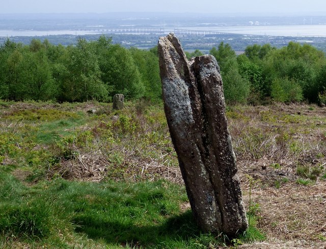
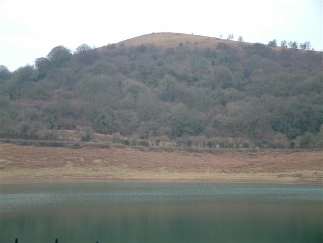
Gray Hill, Monmouthshire

Gray Hill (Welsh: Mynydd Llwyd) is a hill immediately to the north of the village of Llanvair Discoed, Monmouthshire, South Wales, rising to 896 feet...

Earlswood, Monmouthshire

Earlswood (Welsh: Coed-yr-iarll) is a rural area of scattered settlement in Monmouthshire, south east Wales, United Kingdom. It is located five miles...
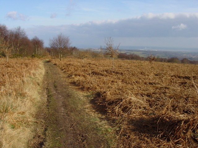
Wentwood

Wentwood (Welsh: Coed Gwent), in Monmouthshire, South Wales, is a forested area of hills, rising to 1,014 feet (309 m) above sea level. It is located to...

Llanvaches

Llanvaches or Llanfaches is a village and community parish within the boundaries of the city of Newport, Wales. It lies to the east of the urban area...

Shirenewton

Shirenewton (Welsh: Drenewydd Gelli-farch) is a village and community in Monmouthshire, south east Wales. It is located 3 miles due west of Chepstow,...

Gaerllwyd

Gaerllwyd is a village in Monmouthshire, south east Wales, United Kingdom. == Location == Gaerllwyd is located 6 miles (9.7 km) south east of Usk and 7...

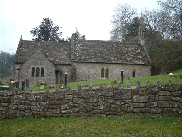
Church of St Thomas a Becket, Shirenewton

The Church of St Thomas a Becket is located in Shirenewton, Monmouthshire, Wales. In the late 12th century the land was inherited by Henry de Bohun. The...

Nearby Amenities

Located within 500m of 51.640554,-2.7957407
Fixme: continues East
Lat/Long: 51.6421766/-2.7898402
Direction: SSW
Generator Method: photovoltaic
Generator Output Electricity: yes
Generator Solar Modules: 16
Generator Source: solar
Generator Type: solar_photovoltaic_panel
Location: roof
Power: generator
Lat/Long: 51.6427808/-2.7898058
The data included in this document is from www.openstreetmap.org. The data is made available under ODbL.

Have you been to The Oakes?

Leave your review of The Oakes below (or comments, questions and feedback).