Longbarn Wood

Wood, Forest in Monmouthshire

Wales

Longbarn Wood

National Speed Limit sign, Llanarth, Monmouthshire Viewed from the 30mph zone.
National Speed Limit sign, Llanarth, Monmouthshire Credit: Jaggery

The requested URL returned error: 429 Too Many Requests

If you have any feedback on the listing, please let us know in the comments section below.

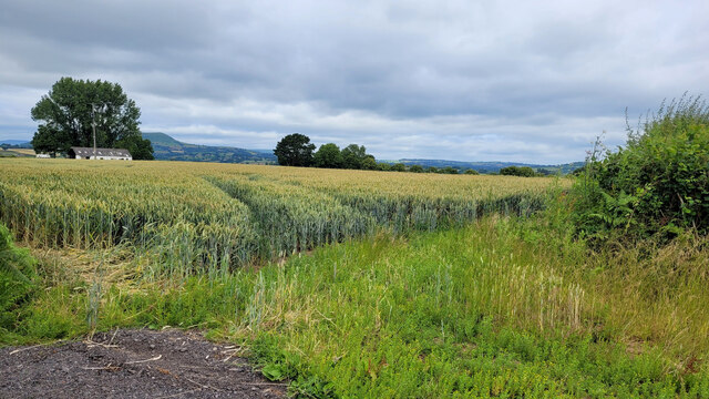
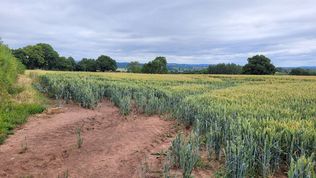
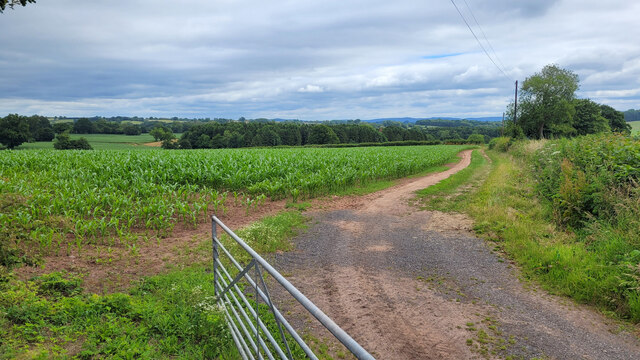
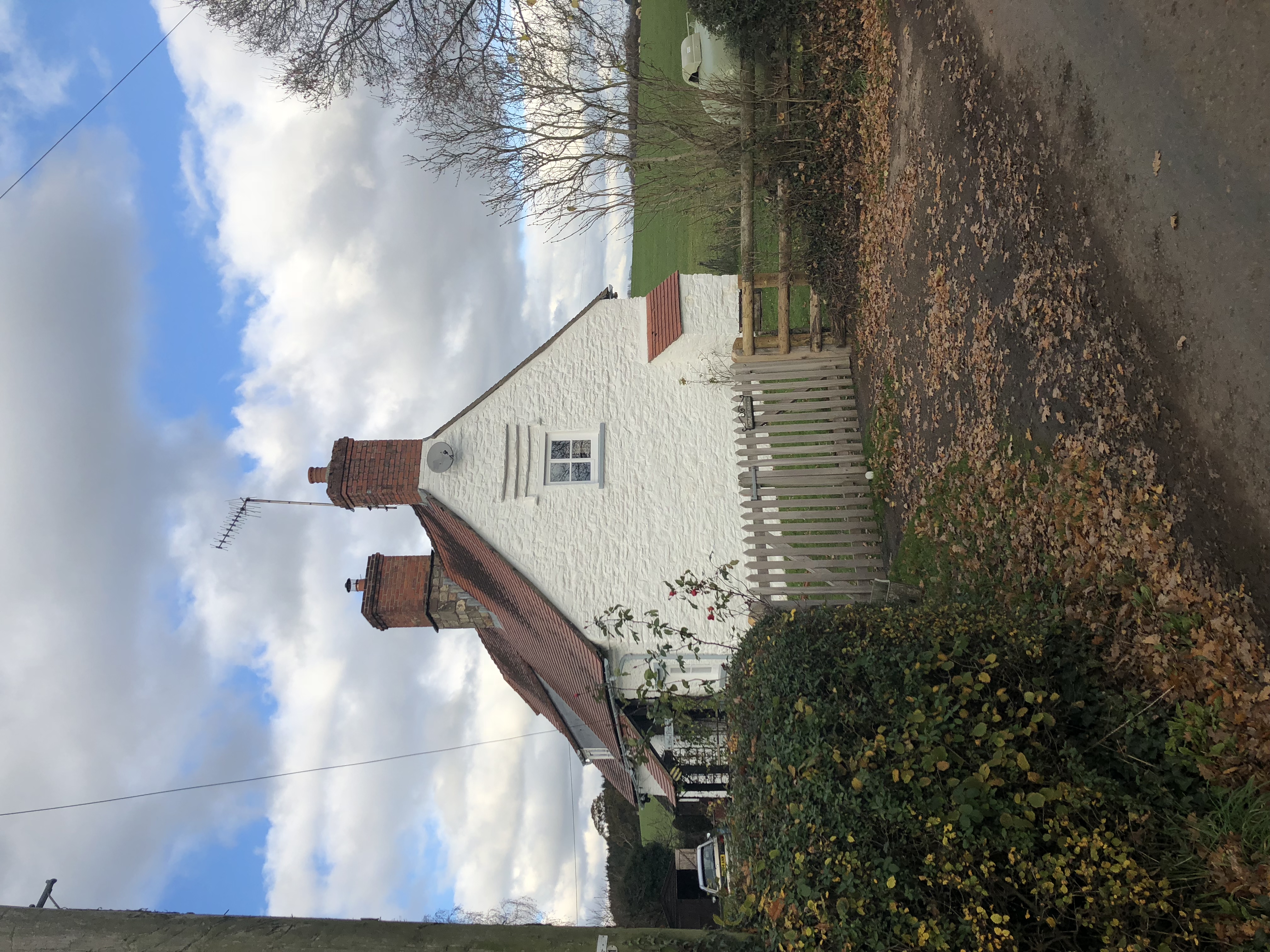
Longbarn Wood Images

Images are sourced within 2km of 51.789794/-2.9141805 or Grid Reference SO3710. Thanks to Geograph Open Source API. All images are credited.

National Speed Limit sign, Llanarth, Monmouthshire Viewed from the 30mph zone.
National Speed Limit sign, Llanarth, Monmouthshire
Viewed from the 30mph zone.
Towards road markings, Llanarth Looking towards broken white lines in the middle of a hedge-lined road in rural Monmouthshire.
Towards road markings, Llanarth
Looking towards broken white lines in the middle of a hedge-lined road in rural Monmouthshire.
Warning sign in a hedge, Llanarth, Monmouthshire  On the approach to a minor junction.
Warning sign in a hedge, Llanarth, Monmouthshire
On the approach to a minor junction.
Former church for sale in January 2022, Llanarth The former St Teilo's church in the Church in Wales Diocese of Monmouth was for sale when I was here in September 2020. It remains for sale on January 2nd 2022.
Former church for sale in January 2022, Llanarth
The former St Teilo's church in the Church in Wales Diocese of Monmouth was for sale when I was here in September 2020. It remains for sale on January 2nd 2022.
Deciduous trees in winter, Llanarth, Monmouthshire Leafless trees viewed on January 2nd 2022.
Deciduous trees in winter, Llanarth, Monmouthshire
Leafless trees viewed on January 2nd 2022.
Muddy field in winter, Llanarth, Monmouthshire Viewed on January 2nd 2022.
Muddy field in winter, Llanarth, Monmouthshire
Viewed on January 2nd 2022.
Stile access to a public footpath, Llanarth Near the stile, a public footpath sign points towards this <a title="https://www.geograph.org.uk/photo/7060546" href="https://www.geograph.org.uk/photo/7060546">Link</a> field, muddy on January 2nd 2022.
Stile access to a public footpath, Llanarth
Near the stile, a public footpath sign points towards this Link field, muddy on January 2nd 2022.
Church For Sale board, January 2022, Llanarth The Hutchings & Thomas chartered surveyors board refers to the nearby former St Teilo's Church <a title="https://www.geograph.org.uk/photo/7060540" href="https://www.geograph.org.uk/photo/7060540">Link</a>. A Heritage Llanarth September 2021 Newsletter <a title="https://www.geograph.org.uk/photo/7060552" href="https://www.geograph.org.uk/photo/7060552">Link</a> is on the lower left corner of the board on January 2nd 2022.
Church For Sale board, January 2022, Llanarth
The Hutchings & Thomas chartered surveyors board refers to the nearby former St Teilo's Church Link. A Heritage Llanarth September 2021 Newsletter Link is on the lower left corner of the board on January 2nd 2022.
Heritage Llanarth September 2021 Newsletter  On this <a title="https://www.geograph.org.uk/photo/7060551" href="https://www.geograph.org.uk/photo/7060551">Link</a> Church For Sale board on January 2nd 2022.
Heritage Llanarth September 2021 Newsletter
On this Link Church For Sale board on January 2nd 2022.
Barley field and great view, 1 The ripening barley in early July with a view to Y Fal, Sugarloaf, left distance and Ysgyryd Fawr, The Skirrid, centre right.
See <a href="https://www.geograph.org.uk/photo/7226965">SO3612 : Barley field and great view, 2</a> for a focus on the barley crop.
Barley field and great view, 1
The ripening barley in early July with a view to Y Fal, Sugarloaf, left distance and Ysgyryd Fawr, The Skirrid, centre right. See SO3612 : Barley field and great view, 2 for a focus on the barley crop.
Road to Llandewi Rhydderch Looking west.
Road to Llandewi Rhydderch
Looking west.
Barley field and great view, 2 Focus on the crop rather than the hills, compared to <a href="https://www.geograph.org.uk/photo/7218735">SO3612 : Barley field and great view, 1</a>.
The hills in the distance are Sugarloaf, Y Fal, to the left and Ysgyryd Fawr, Skirrid, centre.

You'll remember me when the west wind moves
Upon the fields of barley
You'll forget the sun in his jealous sky
As we walk in fields of gold.

Sting - 'Fields of Gold'
Barley field and great view, 2
Focus on the crop rather than the hills, compared to SO3612 : Barley field and great view, 1. The hills in the distance are Sugarloaf, Y Fal, to the left and Ysgyryd Fawr, Skirrid, centre. You'll remember me when the west wind moves Upon the fields of barley You'll forget the sun in his jealous sky As we walk in fields of gold. Sting - 'Fields of Gold'
Wheat field opposite Cefn Cottage Distant view to Ysgyryd Fawr.
Wheat field opposite Cefn Cottage
Distant view to Ysgyryd Fawr.
Wheat field opposite Cefn Cottage Looking north-east.
Wheat field opposite Cefn Cottage
Looking north-east.
Monmouthshire wheat field To the north of Llanarth, looking north-west.
Monmouthshire wheat field
To the north of Llanarth, looking north-west.
Monmouthshire maize field To the north of Llanarth, looking north-east.
Monmouthshire maize field
To the north of Llanarth, looking north-east.
Narrow Monmouthshire Lane Looking towards Argoed Farm.
Narrow Monmouthshire Lane
Looking towards Argoed Farm.
Small mixed plantation Adjacent to the byway to Tregare.
Small mixed plantation
Adjacent to the byway to Tregare.
Show me another place!

Longbarn Wood is located at Grid Ref: SO3710 (Lat: 51.789794, Lng: -2.9141805)

Unitary Authority: Monmouthshire

Police Authority: Gwent

What 3 Words

///binders.clinked.innocence. Near Llanarth, Monmouthshire

Related Wikis

Clytha

Clytha is a hamlet and historical area in Monmouthshire, Wales. == Overview == It lies just off the A40 road, to the south of Llanarth and west of Raglan...

Little Pitt Cottage

Little Pitt Cottage is a medieval house in Llanarth, Monmouthshire, South Wales. It was designated a Grade II* listed building in 1956, its listing record...

Llanarth, Monmouthshire

Llanarth is a privately owned estate village and community within a conservation area in the Welsh county of Monmouthshire. Llanarth is roughly six miles...

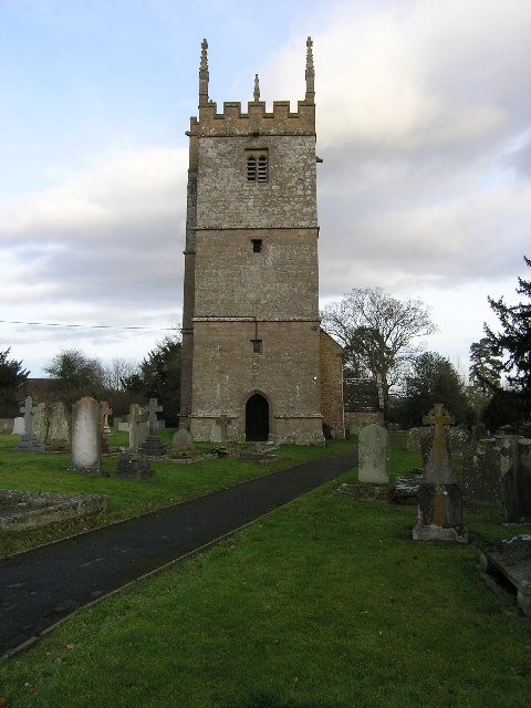
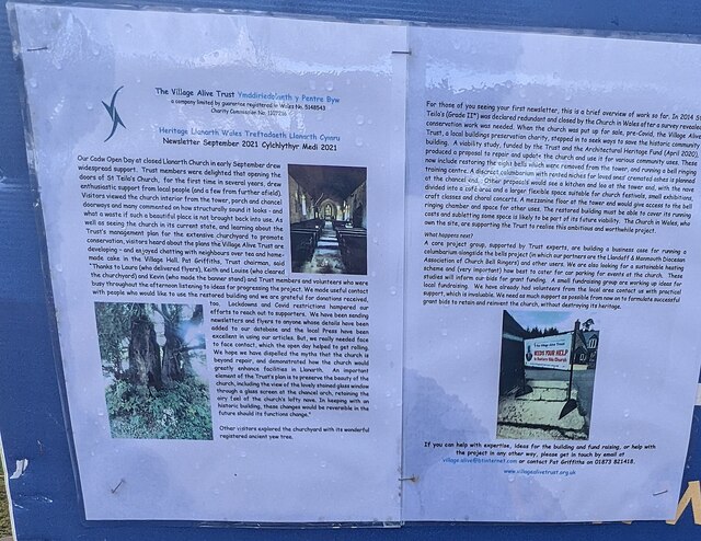
St Teilo's Church, Llanarth

The Church of St Teilo, Llanarth, Monmouthshire, Wales is a former parish church with its origins in the 15th century. Renovations took place in the 18th...

Related Videos

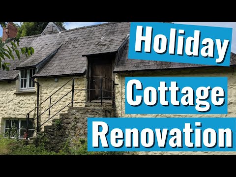
Farm diversification renovating the holiday cottage. The start!

Farm diversification is now essential for most small farms to thrive. We are lucky enough to have a small annex on the farmhouse, ...

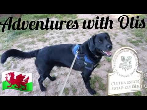
6 mile National Trust's Clytha House Estate walk via the River Usk, Castle, Church & Iron age Fort

Otis follows the red dotted line - River Usk trail around the Clytha Estate near Abergavenny overlooking the Sugar Loaf mountain.

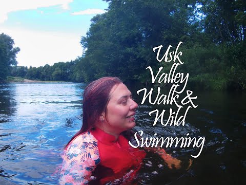
Wild Swimming with our Romanian Rescue Dog | Llanvihangel Gobion | Usk River Valley Walk

A beautiful stroll along the Usk Valley Walk! This was actually filmed back in July but I've only just got round to uploading it!

Farm vlog moving sheep. Meet our Welsh Sheepdogs

Moving the sheep down off our rotational grazing fields for shearing. Meet our Welsh sheepdogs Bob and Flyboy. Its not the way ...

Have you been to Longbarn Wood?

Leave your review of Longbarn Wood below (or comments, questions and feedback).