Llannarth
Settlement in Monmouthshire
Wales
Llannarth

The requested URL returned error: 429 Too Many Requests
If you have any feedback on the listing, please let us know in the comments section below.
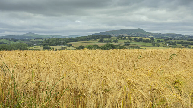
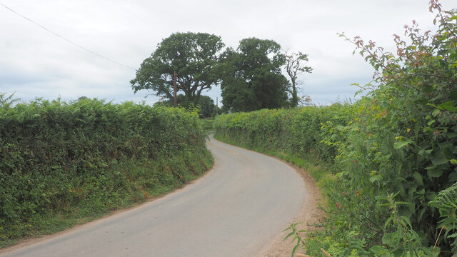
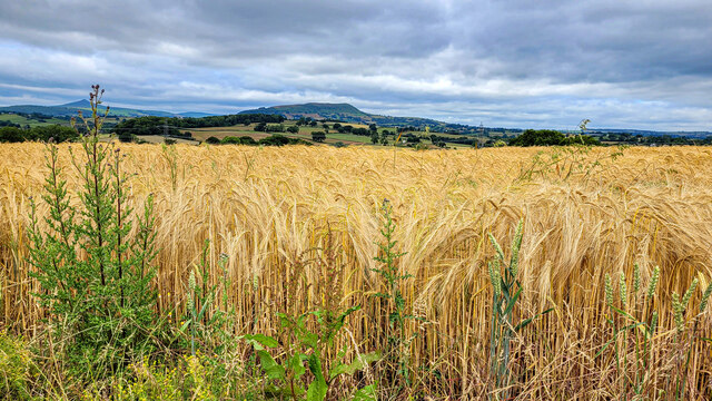
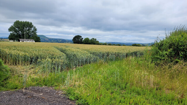
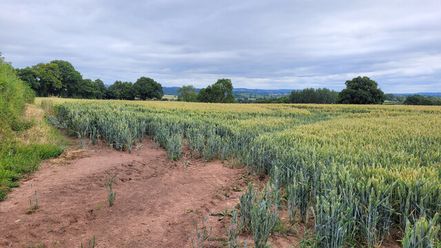
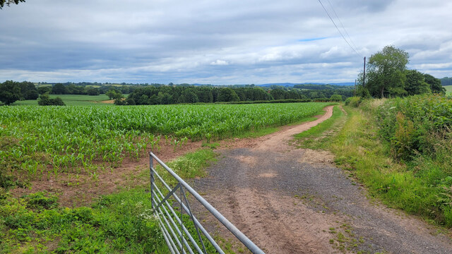
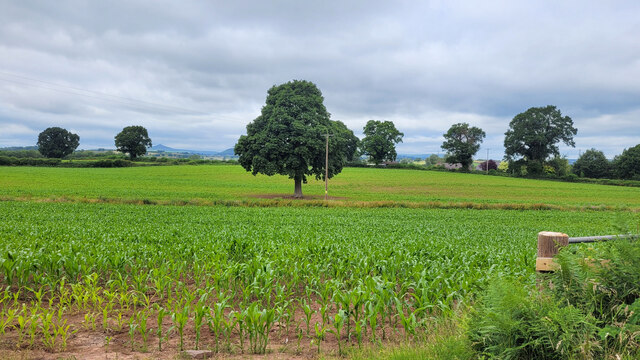
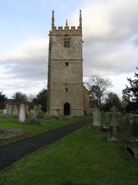
Llannarth Images
Images are sourced within 2km of 51.794093/-2.9070464 or Grid Reference SO3710. Thanks to Geograph Open Source API. All images are credited.


Llannarth is located at Grid Ref: SO3710 (Lat: 51.794093, Lng: -2.9070464)
Unitary Authority: Monmouthshire
Police Authority: Gwent
Also known as: Llanarth
What 3 Words
///sugar.persuade.racetrack. Near Llanarth, Monmouthshire
Nearby Locations
Related Wikis

Llanarth, Monmouthshire
Llanarth is a privately owned estate village and community within a conservation area in the Welsh county of Monmouthshire. Llanarth is roughly six miles...
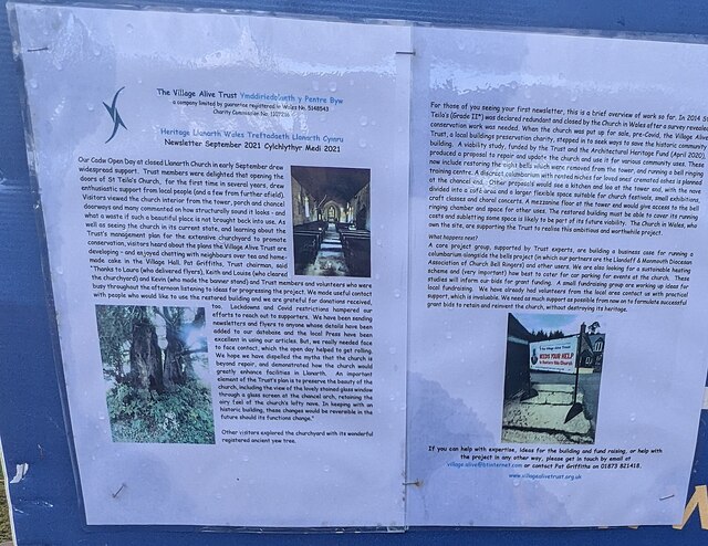
St Teilo's Church, Llanarth
The Church of St Teilo, Llanarth, Monmouthshire, Wales is a former parish church with its origins in the 15th century. Renovations took place in the 18th...

Coed-y-gelli, Llanarth
Coed-y-gelli, Llanarth, Monmouthshire is a house dating from the late 16th or early 17th centuries. It is a Grade II* listed building. == History == The...

Church of St Mary and St Michael, Llanarth
The Church of St Mary and St Michael, Llanarth, Monmouthshire, was built as the family chapel for Llanarth Court. It was the first Roman Catholic church...
Related Videos

6 mile National Trust's Clytha House Estate walk via the River Usk, Castle, Church & Iron age Fort
Otis follows the red dotted line - River Usk trail around the Clytha Estate near Abergavenny overlooking the Sugar Loaf mountain.
Nearby Amenities
Located within 500m of 51.794093,-2.9070464Have you been to Llannarth?
Leave your review of Llannarth below (or comments, questions and feedback).