Pound Wood

Wood, Forest in Monmouthshire

Wales

Pound Wood

Trostrey Court and Farm Viewed from over 500m away from Church Lane.
This large farm sits in a gentle side valley of the Usk. Its main businesses are dairy and poultry.
The owner is (2015) President of the Royal Welsh Show; see an article on him here; <span class="nowrap"><a title="http://www.southwalesargus.co.uk/news/features/13611591.First_Person__Usk_farmer_David_Morgan/" rel="nofollow ugc noopener" href="http://www.southwalesargus.co.uk/news/features/13611591.First_Person__Usk_farmer_David_Morgan/">Link</a><img style="margin-left:2px;" alt="External link" title="External link - shift click to open in new window" src="https://s1.geograph.org.uk/img/external.png" width="10" height="10"/></span>
Trostrey Court and Farm Credit: Jonathan Billinger

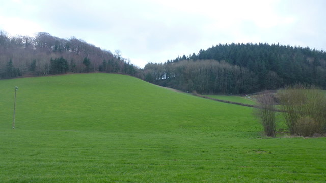
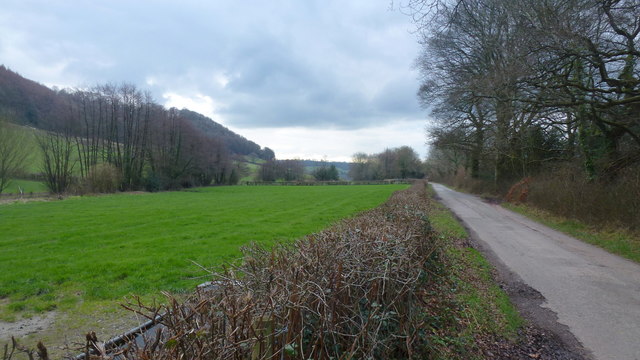
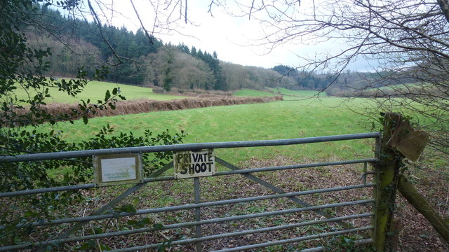
Pound Wood is a 15-acre ancient woodland located in Monmouthshire, Wales. The wood is a designated Site of Special Scientific Interest (SSSI) due to its rich biodiversity and unique habitats. The wood is primarily composed of oak, ash, and beech trees, with a diverse understory of ferns, mosses, and wildflowers.

Pound Wood is home to a variety of wildlife, including deer, badgers, foxes, and a wide range of bird species. The wood provides important nesting and foraging habitats for many bird species, making it a popular destination for birdwatchers.

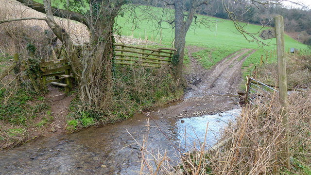
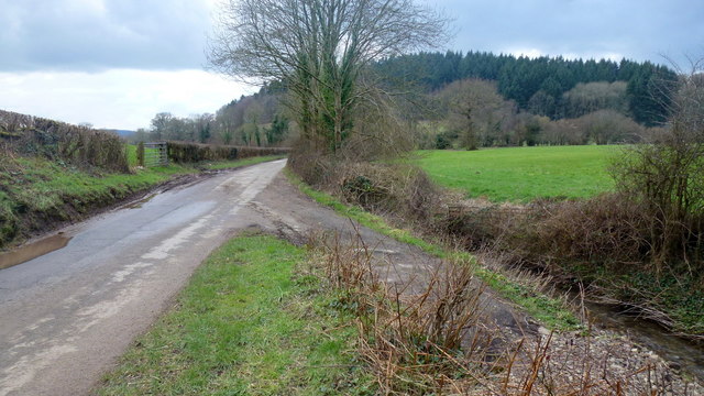
Visitors to Pound Wood can enjoy a network of well-maintained trails that wind through the woodland, providing opportunities for walking, hiking, and nature exploration. The wood is also a popular spot for picnicking and nature photography.

Pound Wood is managed by the Monmouthshire County Council, which works to preserve the wood's natural beauty and protect its biodiversity. The wood is open to the public year-round, allowing visitors to experience the tranquility and beauty of this ancient woodland.

If you have any feedback on the listing, please let us know in the comments section below.
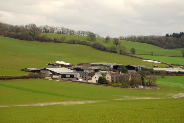
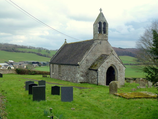
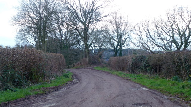
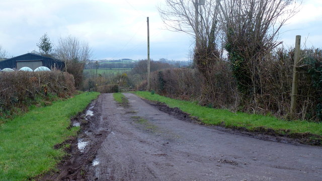
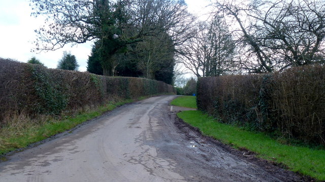
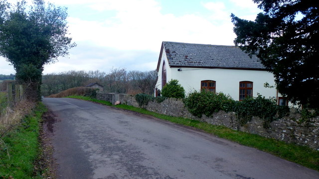
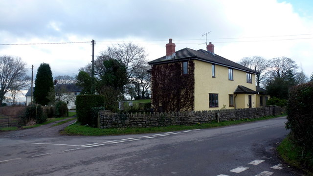
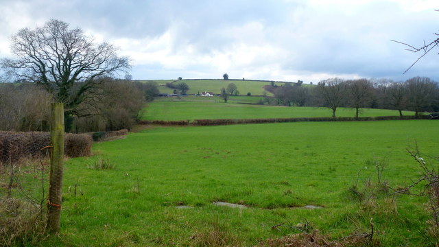
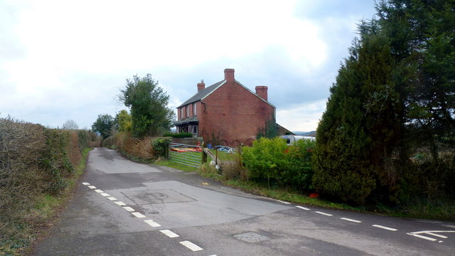
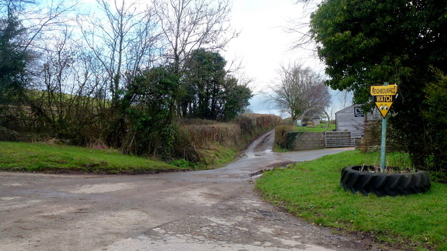
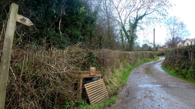
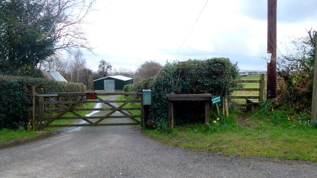
Pound Wood Images

Images are sourced within 2km of 51.736608/-2.9133383 or Grid Reference SO3704. Thanks to Geograph Open Source API. All images are credited.

Trostrey Court and Farm Viewed from over 500m away from Church Lane.
This large farm sits in a gentle side valley of the Usk. Its main businesses are dairy and poultry.
The owner is (2015) President of the Royal Welsh Show; see an article on him here; <span class="nowrap"><a title="http://www.southwalesargus.co.uk/news/features/13611591.First_Person__Usk_farmer_David_Morgan/" rel="nofollow ugc noopener" href="http://www.southwalesargus.co.uk/news/features/13611591.First_Person__Usk_farmer_David_Morgan/">Link</a><img style="margin-left:2px;" alt="External link" title="External link - shift click to open in new window" src="https://s1.geograph.org.uk/img/external.png" width="10" height="10"/></span>
Trostrey Court and Farm
Viewed from over 500m away from Church Lane. This large farm sits in a gentle side valley of the Usk. Its main businesses are dairy and poultry. The owner is (2015) President of the Royal Welsh Show; see an article on him here; LinkExternal link
St. David's church, Trostrey A delightful spot on the hillside overlooking Trostrey Court, seen beyond.
Compare with Phil's photo from April 2008; <a href="https://www.geograph.org.uk/photo/764619">SO3504 : St David's church at Trostrey</a>.
St. David's church, Trostrey
A delightful spot on the hillside overlooking Trostrey Court, seen beyond. Compare with Phil's photo from April 2008; SO3504 : St David's church at Trostrey.
Private drive to Pentwyn Not a public right of way.
Private drive to Pentwyn
Not a public right of way.
Track to Chapel Farm Also a bridleway leading north-west from Gwehelog Common.
Track to Chapel Farm
Also a bridleway leading north-west from Gwehelog Common.
Gwehelog Common Road heading south-east with scattered housing.
Gwehelog Common
Road heading south-east with scattered housing.
Gwehelog Methodist Chapel Still apparently in use in February 2016. See also <a href="https://www.geograph.org.uk/photo/407245">SO3804 : Gwehelog Methodist Chapel</a> and <a href="https://www.geograph.org.uk/photo/3224187">SO3804 : Gwehelog Methodist Chapel</a>.
Gwehelog Methodist Chapel
Still apparently in use in February 2016. See also SO3804 : Gwehelog Methodist Chapel and SO3804 : Gwehelog Methodist Chapel.
Houses at Gwehelog Near the Methodist Chapel.
Houses at Gwehelog
Near the Methodist Chapel.
Farmland at Llanwilcae-fach Pasture predominates here.
Long Wood farm can be seen in the distance.
Farmland at Llanwilcae-fach
Pasture predominates here. Long Wood farm can be seen in the distance.
Farm cottages at Llanwilcae-fach Lane heads south towards Gwehelog Common and Usk.
Farm cottages at Llanwilcae-fach
Lane heads south towards Gwehelog Common and Usk.
Dead-end lane Leads to Hill Farm, passing a house named Pleasant View seen to the left.
Dead-end lane
Leads to Hill Farm, passing a house named Pleasant View seen to the left.
Lane by Long Wood Farm Narrow lane heads north towards Berllwyd.
Lane by Long Wood Farm
Narrow lane heads north towards Berllwyd.
Track and bridleway Towards Walnut Tree House, Trostrey Common.
Track and bridleway
Towards Walnut Tree House, Trostrey Common.
Gate and stile Plus a reminder for dog owners to keep their animals on a lead.
Gate and stile
Plus a reminder for dog owners to keep their animals on a lead.
A footpath for wet feet To get to the stile the walker must do a long jump or get wet!
A footpath for wet feet
To get to the stile the walker must do a long jump or get wet!
Lane to Llancayo The wooded hill with Coed Shenkin Morris dark in the background.
Lane to Llancayo
The wooded hill with Coed Shenkin Morris dark in the background.
Great Llancayo Upper Wood Gwehelog Camp hill fort is to the left.
Great Llancayo Upper Wood
Gwehelog Camp hill fort is to the left.
The Llancayo valley Short valley between the Gwehelog Camp and Shenkin Morris hills to the north of Usk.
The Llancayo valley
Short valley between the Gwehelog Camp and Shenkin Morris hills to the north of Usk.
Public path - private shoot Path heads north into the wooded high ground of Trostrey Hill.
Public path - private shoot
Path heads north into the wooded high ground of Trostrey Hill.
Show me another place!

Pound Wood is located at Grid Ref: SO3704 (Lat: 51.736608, Lng: -2.9133383)

Unitary Authority: Monmouthshire

Police Authority: Gwent

What 3 Words

///another.relished.alarming. Near Usk, Monmouthshire

Related Wikis

Trostrey Court

Trostrey Court House, Trostrey, Monmouthshire is a late 16th century gentry house. The current building replaced an earlier medieval court. The house played...

St David's Church, Trostrey

The Church of St David, Trostrey, Monmouthshire, Wales, is a parish church with its origins in the 14th century. Its founder may have been Geoffrey Marshall...

Trostrey

Trostrey (Welsh: Trostre) is a small hamlet and parish in Monmouthshire, in southeast Wales located about 2+1⁄2 miles (4.0 km) north/northwest of Usk....

Church of St Aeddan, Bettws Newydd

The Church of St Aeddan, Bettws Newydd, Monmouthshire, Wales, is a fifteenth-century church of twelfth-century origin. It contains a notable rood screen...

Nearby Amenities

Located within 500m of 51.736608,-2.9133383
The data included in this document is from www.openstreetmap.org. The data is made available under ODbL.

Have you been to Pound Wood?

Leave your review of Pound Wood below (or comments, questions and feedback).