Cowbottom Wood

Wood, Forest in Monmouthshire

Wales

Cowbottom Wood

Trostrey Court and Farm Viewed from over 500m away from Church Lane.
This large farm sits in a gentle side valley of the Usk. Its main businesses are dairy and poultry.
The owner is (2015) President of the Royal Welsh Show; see an article on him here; <span class="nowrap"><a title="http://www.southwalesargus.co.uk/news/features/13611591.First_Person__Usk_farmer_David_Morgan/" rel="nofollow ugc noopener" href="http://www.southwalesargus.co.uk/news/features/13611591.First_Person__Usk_farmer_David_Morgan/">Link</a><img style="margin-left:2px;" alt="External link" title="External link - shift click to open in new window" src="https://s1.geograph.org.uk/img/external.png" width="10" height="10"/></span>
Trostrey Court and Farm Credit: Jonathan Billinger

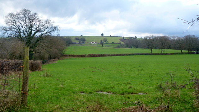
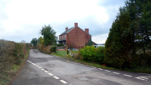
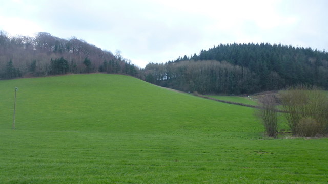
Cowbottom Wood is a charming forest located in Monmouthshire, Wales. Spread across an area of approximately 50 hectares, this woodland is a haven for nature enthusiasts and outdoor lovers. The wood is situated near the village of Cowbottom, which adds to its rustic appeal.

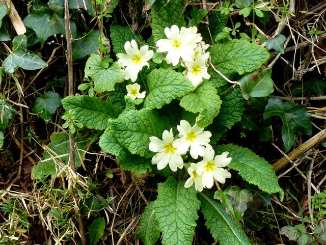
The forest is predominantly made up of broadleaf trees, including oak, beech, and ash, which create a dense canopy that provides shade and shelter for a range of wildlife species. The woodland floor is covered with a vibrant carpet of bluebells and wildflowers during the spring, making it a picturesque sight for visitors.

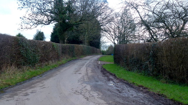
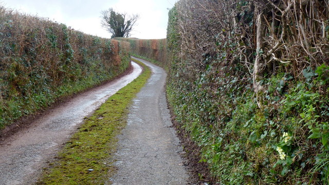
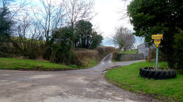
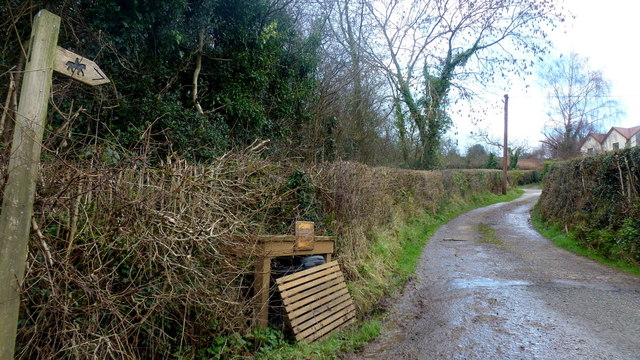
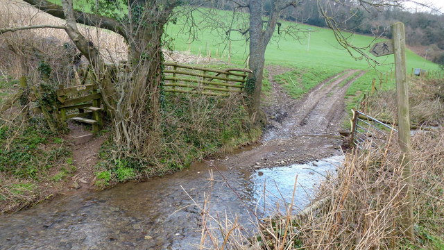
Cowbottom Wood offers a variety of walking trails, allowing visitors to explore its natural beauty at their own pace. The trails wind through the forest, offering glimpses of serene streams, tranquil ponds, and enchanting glades. Birdwatchers will be delighted by the presence of various species, such as woodpeckers, owls, and songbirds, which can be spotted and heard throughout the wood.

The forest is also home to a diverse range of mammals, including deer, foxes, and badgers, making it a perfect spot for wildlife enthusiasts. Additionally, the woodland provides a habitat for a diverse array of insects, from butterflies to beetles, which further adds to its ecological significance.

Cowbottom Wood is an idyllic escape from the hustle and bustle of daily life, offering visitors a chance to immerse themselves in nature's beauty. Its peaceful ambiance, combined with its rich biodiversity, makes it a must-visit destination for anyone seeking tranquility and a connection with the natural world.

If you have any feedback on the listing, please let us know in the comments section below.

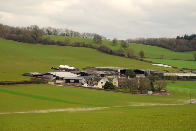
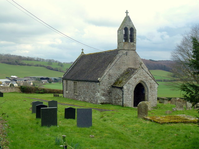
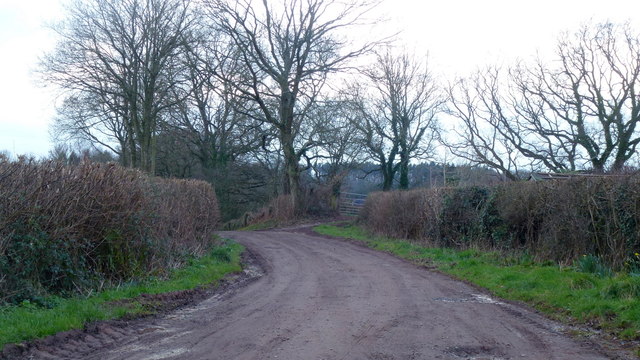
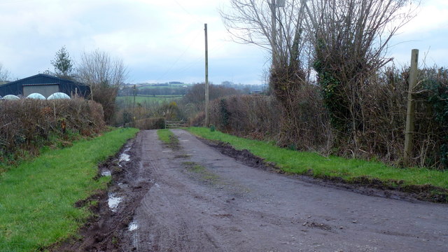
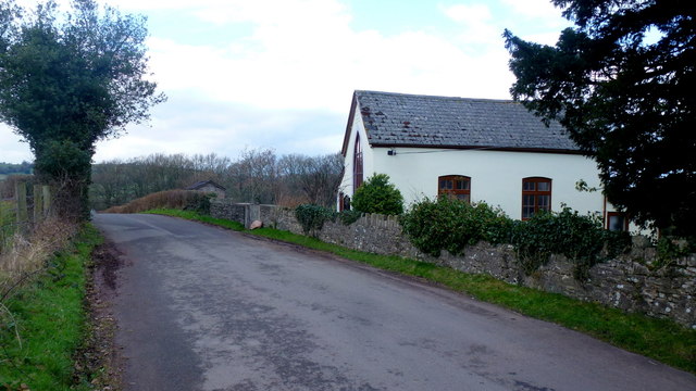
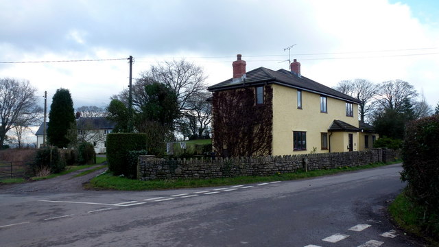
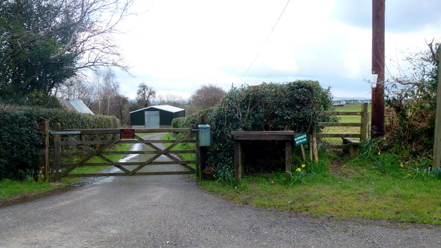
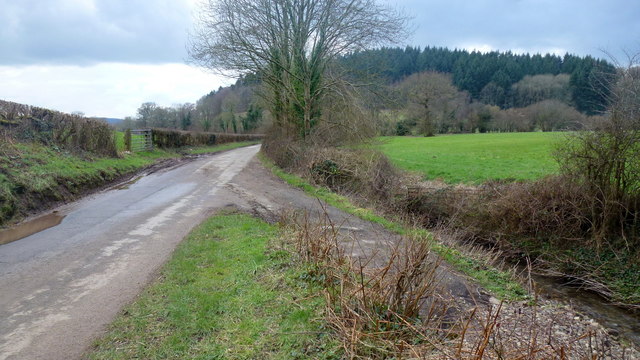
Cowbottom Wood Images

Images are sourced within 2km of 51.738157/-2.9118344 or Grid Reference SO3704. Thanks to Geograph Open Source API. All images are credited.

Trostrey Court and Farm Viewed from over 500m away from Church Lane.
This large farm sits in a gentle side valley of the Usk. Its main businesses are dairy and poultry.
The owner is (2015) President of the Royal Welsh Show; see an article on him here; <span class="nowrap"><a title="http://www.southwalesargus.co.uk/news/features/13611591.First_Person__Usk_farmer_David_Morgan/" rel="nofollow ugc noopener" href="http://www.southwalesargus.co.uk/news/features/13611591.First_Person__Usk_farmer_David_Morgan/">Link</a><img style="margin-left:2px;" alt="External link" title="External link - shift click to open in new window" src="https://s1.geograph.org.uk/img/external.png" width="10" height="10"/></span>
Trostrey Court and Farm
Viewed from over 500m away from Church Lane. This large farm sits in a gentle side valley of the Usk. Its main businesses are dairy and poultry. The owner is (2015) President of the Royal Welsh Show; see an article on him here; LinkExternal link
St. David's church, Trostrey A delightful spot on the hillside overlooking Trostrey Court, seen beyond.
Compare with Phil's photo from April 2008; <a href="https://www.geograph.org.uk/photo/764619">SO3504 : St David's church at Trostrey</a>.
St. David's church, Trostrey
A delightful spot on the hillside overlooking Trostrey Court, seen beyond. Compare with Phil's photo from April 2008; SO3504 : St David's church at Trostrey.
Private drive to Pentwyn Not a public right of way.
Private drive to Pentwyn
Not a public right of way.
Track to Chapel Farm Also a bridleway leading north-west from Gwehelog Common.
Track to Chapel Farm
Also a bridleway leading north-west from Gwehelog Common.
Gwehelog Common Road heading south-east with scattered housing.
Gwehelog Common
Road heading south-east with scattered housing.
Gwehelog Methodist Chapel Still apparently in use in February 2016. See also <a href="https://www.geograph.org.uk/photo/407245">SO3804 : Gwehelog Methodist Chapel</a> and <a href="https://www.geograph.org.uk/photo/3224187">SO3804 : Gwehelog Methodist Chapel</a>.
Gwehelog Methodist Chapel
Still apparently in use in February 2016. See also SO3804 : Gwehelog Methodist Chapel and SO3804 : Gwehelog Methodist Chapel.
Houses at Gwehelog Near the Methodist Chapel.
Houses at Gwehelog
Near the Methodist Chapel.
Farmland at Llanwilcae-fach Pasture predominates here.
Long Wood farm can be seen in the distance.
Farmland at Llanwilcae-fach
Pasture predominates here. Long Wood farm can be seen in the distance.
Farm cottages at Llanwilcae-fach Lane heads south towards Gwehelog Common and Usk.
Farm cottages at Llanwilcae-fach
Lane heads south towards Gwehelog Common and Usk.
Narrow Monmouthshire lane Towards Llanwilcae-fach.
Narrow Monmouthshire lane
Towards Llanwilcae-fach.
Wild primrose, Primula veris Seen in context on the laneside bank in <a href="https://www.geograph.org.uk/photo/5052293">SO3805 : Narrow Monmouthshire lane</a>.
Wild primrose, Primula veris
Seen in context on the laneside bank in SO3805 : Narrow Monmouthshire lane.
Dead-end lane Leads to Hill Farm, passing a house named Pleasant View seen to the left.
Dead-end lane
Leads to Hill Farm, passing a house named Pleasant View seen to the left.
Lane by Long Wood Farm Narrow lane heads north towards Berllwyd.
Lane by Long Wood Farm
Narrow lane heads north towards Berllwyd.
Track and bridleway Towards Walnut Tree House, Trostrey Common.
Track and bridleway
Towards Walnut Tree House, Trostrey Common.
Gate and stile Plus a reminder for dog owners to keep their animals on a lead.
Gate and stile
Plus a reminder for dog owners to keep their animals on a lead.
A footpath for wet feet To get to the stile the walker must do a long jump or get wet!
A footpath for wet feet
To get to the stile the walker must do a long jump or get wet!
Lane to Llancayo The wooded hill with Coed Shenkin Morris dark in the background.
Lane to Llancayo
The wooded hill with Coed Shenkin Morris dark in the background.
Great Llancayo Upper Wood Gwehelog Camp hill fort is to the left.
Great Llancayo Upper Wood
Gwehelog Camp hill fort is to the left.
Show me another place!

Cowbottom Wood is located at Grid Ref: SO3704 (Lat: 51.738157, Lng: -2.9118344)

Unitary Authority: Monmouthshire

Police Authority: Gwent

What 3 Words

///backhand.cooks.happily. Near Usk, Monmouthshire

Related Wikis

Trostrey Court

Trostrey Court House, Trostrey, Monmouthshire is a late 16th century gentry house. The current building replaced an earlier medieval court. The house played...

St David's Church, Trostrey

The Church of St David, Trostrey, Monmouthshire, Wales, is a parish church with its origins in the 14th century. Its founder may have been Geoffrey Marshall...

Trostrey

Trostrey (Welsh: Trostre) is a small hamlet and parish in Monmouthshire, in southeast Wales located about 2+1⁄2 miles (4.0 km) north/northwest of Usk....

Church of St Aeddan, Bettws Newydd

The Church of St Aeddan, Bettws Newydd, Monmouthshire, Wales, is a fifteenth-century church of twelfth-century origin. It contains a notable rood screen...

Bettws Newydd

Bettws Newydd (Welsh: Betws Newydd) is a small village in Monmouthshire, in southeast Wales located about 3+1⁄2 miles (5.6 km) north of Usk, a few miles...

Gwehelog

Gwehelog is a village settlement in the community of Llanarth, in Monmouthshire, south east Wales. == Location == Gwehelog is located 2 miles (3.2 km)...

Kemeys Commander

Kemeys Commander (Welsh: Cemais Comawndwr) is a village in Monmouthshire, in South East Wales. == Location == Kemeys Commander, 3 miles (4.8 km) north...

Church of All Saints, Kemeys Commander

The Church of All Saints, Kemeys Commander, Monmouthshire, Wales, is a parish church with its origins in the 13th century. It is a Grade II* listed building...

Have you been to Cowbottom Wood?

Leave your review of Cowbottom Wood below (or comments, questions and feedback).