Cox Wood

Wood, Forest in Denbighshire

Wales

Cox Wood

Trevalyn Hall On the edge of Rossett; built in 1576.
Trevalyn Hall Credit: Mike Parker

The requested URL returned error: 429 Too Many Requests

If you have any feedback on the listing, please let us know in the comments section below.
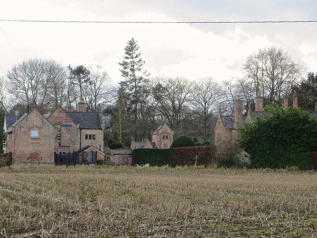
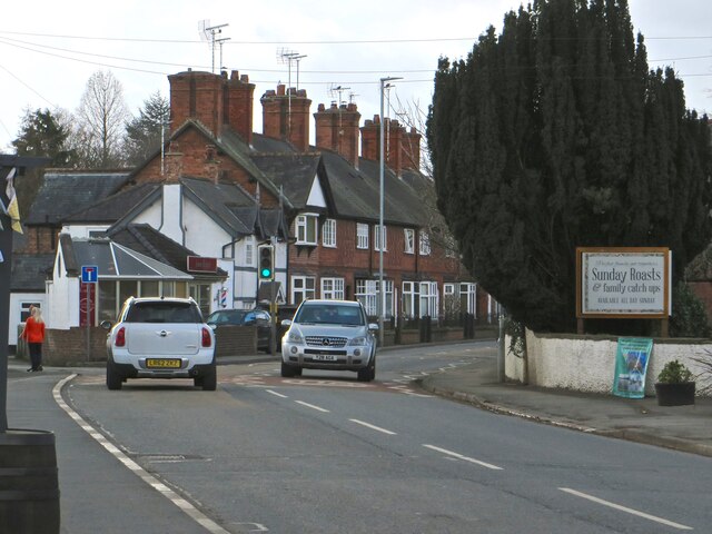
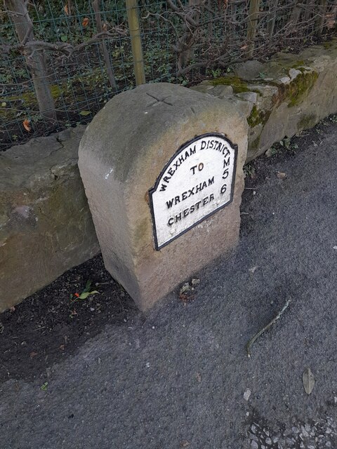
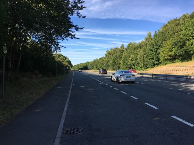
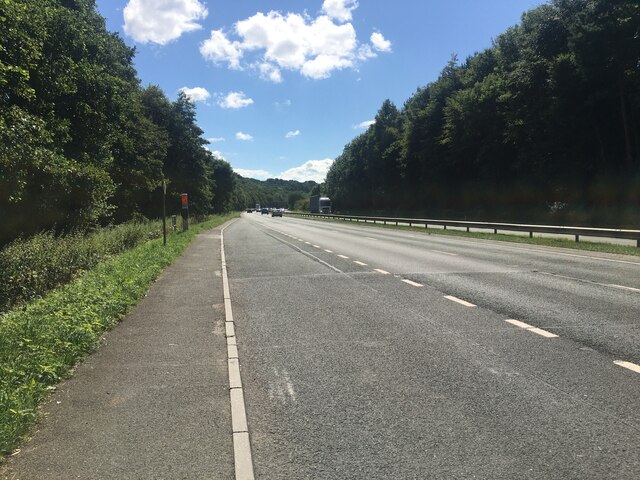
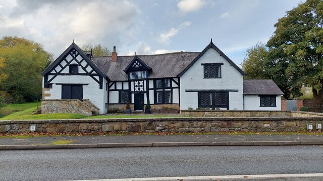
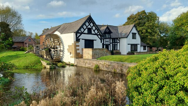
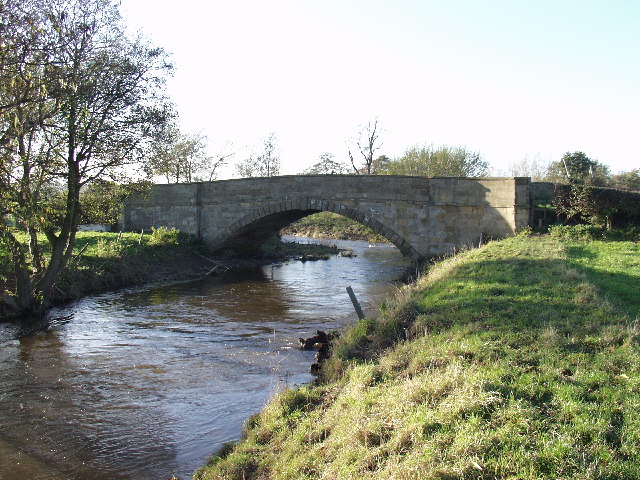
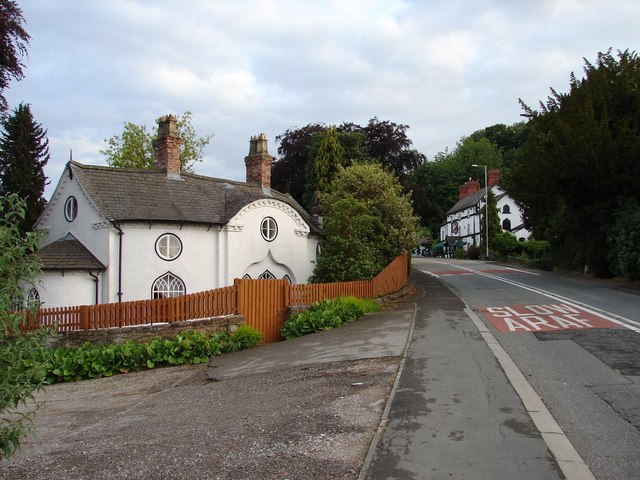
Cox Wood Images

Images are sourced within 2km of 53.093315/-2.9420988 or Grid Reference SJ3755. Thanks to Geograph Open Source API. All images are credited.

Trevalyn Hall On the edge of Rossett; built in 1576.
Trevalyn Hall
On the edge of Rossett; built in 1576.
The Old Chester Road through Rossett
Ordnance Survey Cut Mark This OS cut mark can be found on the Chapel SE side of the road. It marks a point 15.517m above mean sea level.
Ordnance Survey Cut Mark
This OS cut mark can be found on the Chapel SE side of the road. It marks a point 15.517m above mean sea level.
Milestone - Wrexham 5
Lay-by on the A483 between Wrexham and Chester
Lay-by on the A483 towards Wrexham
The front of Rossett Mill Built in 1661, this mill is on the River Alyn, opposite Marford Mill. The Mill Wheel is on the left hand side.
The front of Rossett Mill
Built in 1661, this mill is on the River Alyn, opposite Marford Mill. The Mill Wheel is on the left hand side.
Rossett Mill Built in 1661, opposite Marford Mill, on the River Alyn.
Rossett Mill
Built in 1661, opposite Marford Mill, on the River Alyn.
Marford Mill Marford Mill is situated opposite Rossett Mill on the River Alyn (in Rossett). Today it is the HQ of the British Association For Shooting & Conservation.
Marford Mill
Marford Mill is situated opposite Rossett Mill on the River Alyn (in Rossett). Today it is the HQ of the British Association For Shooting & Conservation.
Bridge over the A483 near Marford The A483 is a major north-south trunk road in Wales, running for 149 miles between Chester and Junction 42 of the M4 motorway just east of Swansea.
<span class="nowrap"><a title="http://www.sabre-roads.org.uk/wiki/index.php?title=A483" rel="nofollow ugc noopener" href="http://www.sabre-roads.org.uk/wiki/index.php?title=A483">Link</a><img style="margin-left:2px;" alt="External link" title="External link - shift click to open in new window" src="https://s1.geograph.org.uk/img/external.png" width="10" height="10"/></span>  SABRE
<span class="nowrap"><a title="https://en.wikipedia.org/wiki/A483_road" rel="nofollow ugc noopener" href="https://en.wikipedia.org/wiki/A483_road">Link</a><img style="margin-left:2px;" alt="External link" title="External link - shift click to open in new window" src="https://s1.geograph.org.uk/img/external.png" width="10" height="10"/></span>  Wikipedia
Bridge over the A483 near Marford
The A483 is a major north-south trunk road in Wales, running for 149 miles between Chester and Junction 42 of the M4 motorway just east of Swansea. LinkExternal link SABRE LinkExternal link Wikipedia
Bridge over the A483 at Rossett Interchange (Marford) The A483 is a major north-south trunk road in Wales, running for 149 miles between Chester and Junction 42 of the M4 motorway just east of Swansea.
<span class="nowrap"><a title="http://www.sabre-roads.org.uk/wiki/index.php?title=A483" rel="nofollow ugc noopener" href="http://www.sabre-roads.org.uk/wiki/index.php?title=A483">Link</a><img style="margin-left:2px;" alt="External link" title="External link - shift click to open in new window" src="https://s1.geograph.org.uk/img/external.png" width="10" height="10"/></span>  SABRE
<span class="nowrap"><a title="https://en.wikipedia.org/wiki/A483_road" rel="nofollow ugc noopener" href="https://en.wikipedia.org/wiki/A483_road">Link</a><img style="margin-left:2px;" alt="External link" title="External link - shift click to open in new window" src="https://s1.geograph.org.uk/img/external.png" width="10" height="10"/></span>  Wikipedia
Bridge over the A483 at Rossett Interchange (Marford)
The A483 is a major north-south trunk road in Wales, running for 149 miles between Chester and Junction 42 of the M4 motorway just east of Swansea. LinkExternal link SABRE LinkExternal link Wikipedia
17th Century Water Mill This 1661 building stands adjacent to the River Alyn at Rossett.
17th Century Water Mill
This 1661 building stands adjacent to the River Alyn at Rossett.
The Elms Gresford Bank A group of houses looking out over the surrounding countryside with Little Elms to the left, and the larger 3 storey building to the right is called The Elms. The sloping ground cuts off the lowest storeys when viewed from this direction.
The Elms Gresford Bank
A group of houses looking out over the surrounding countryside with Little Elms to the left, and the larger 3 storey building to the right is called The Elms. The sloping ground cuts off the lowest storeys when viewed from this direction.
Hoseley Bank House and farm buildings Wonderful view out across the Afon Dyfrdwy valley towards England.
Hoseley Bank House and farm buildings
Wonderful view out across the Afon Dyfrdwy valley towards England.
Cook's Bridge near Trevalyn Impressive bridge for a country lane over the Afon Alun.
Cook's Bridge near Trevalyn
Impressive bridge for a country lane over the Afon Alun.
Farm steading conversion at Parkside Another steading is converted to housing.
Farm steading conversion at Parkside
Another steading is converted to housing.
Dairy Farm buildings at  Lower Farm Large modern cubicle house on this dairy farm.
Dairy Farm buildings at Lower Farm
Large modern cubicle house on this dairy farm.
Grazings at Lodge Farm The buildings at Lodge Farm are in the distance left. As usual this time of the year the sheep take an interest just in case you have a feed bag.
Grazings at Lodge Farm
The buildings at Lodge Farm are in the distance left. As usual this time of the year the sheep take an interest just in case you have a feed bag.
Show me another place!

Cox Wood is located at Grid Ref: SJ3755 (Lat: 53.093315, Lng: -2.9420988)

Unitary Authority: Wrexham

Police Authority: North Wales

What 3 Words

///bordering.manuals.huddling. Near Rossett, Wrexham

Nearby Locations

Cox Wood

Related Wikis

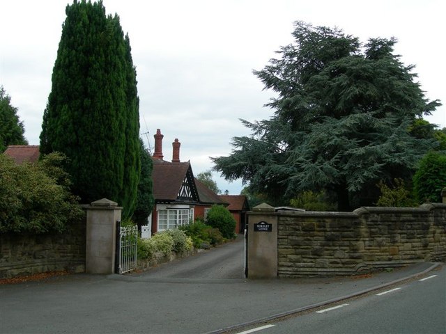
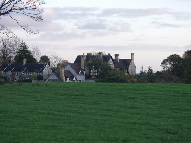
Horsley Hall, Gresford

Horsley Hall was a Jacobethan-style house with formal gardens, near to Gresford, Wrexham County Borough, that was destroyed in 1963. == Pre-Victorian... ==

Marford

Marford is a village in Wrexham County Borough, Wales, near the Wales-England border. Marford covers some 750 acres (3.0 km2), where the hills of north...
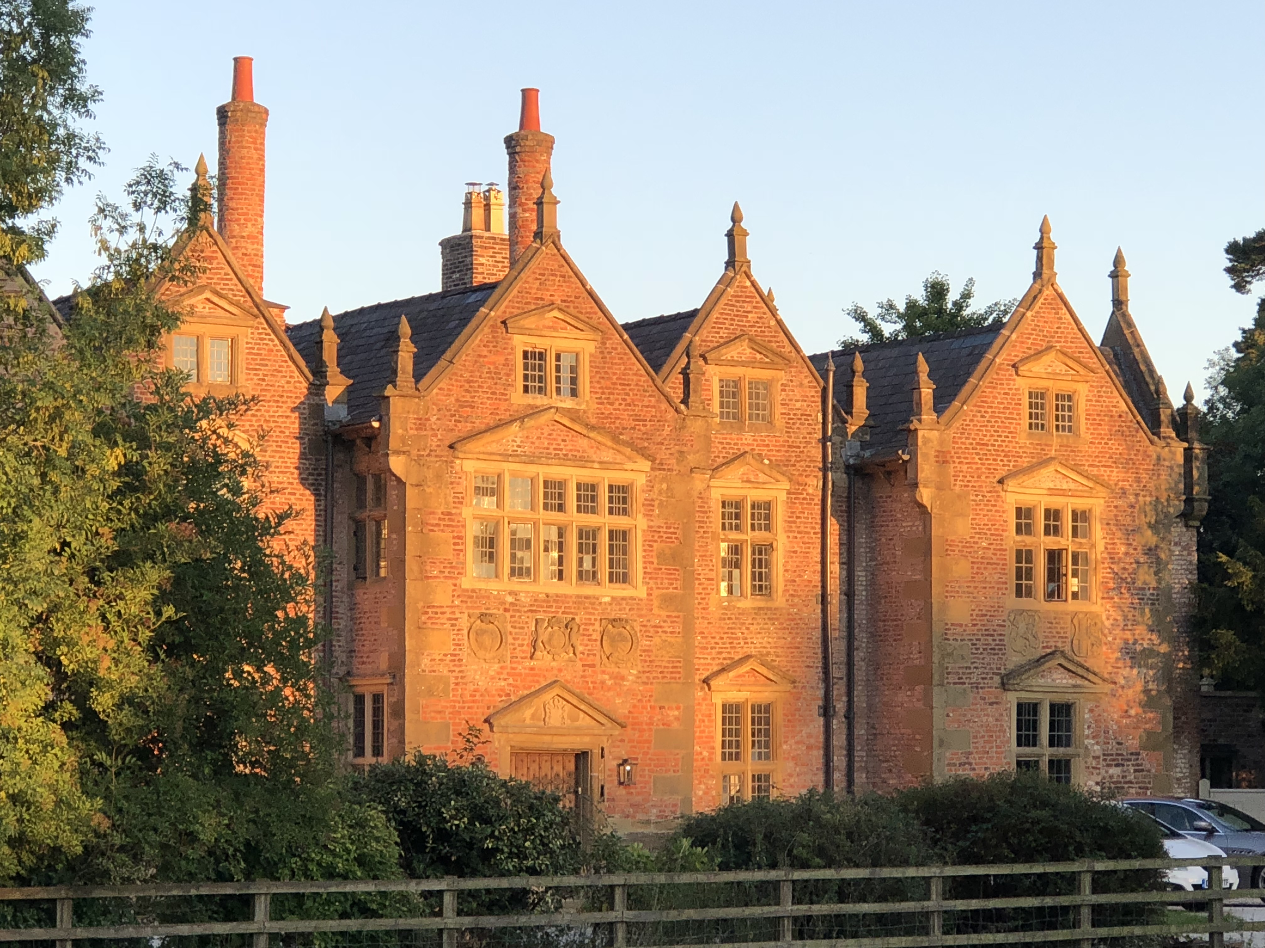
Trevalyn Hall

Trevalyn Hall in Rossett, a Grade II* listed building, is an Elizabethan manor house near Wrexham in Wales. It was built by John Trevor in 1576. The Trevor...

The Rofft

The Rofft was a historic site at Marford in the Wrexham County Borough. It was initially a pre-historic camp, and later a motte and bailey castle. There...

Nearby Amenities

Located within 500m of 53.093315,-2.9420988
Power: pole
Lat/Long: 53.0955735/-2.9430056
Power: pole
Lat/Long: 53.0959166/-2.9445183
Power: pole
Lat/Long: 53.096324/-2.9463261
Power: pole
Lat/Long: 53.0929505/-2.9441689
Power: pole
Lat/Long: 53.0935748/-2.9444833
Power: pole
Lat/Long: 53.094155/-2.9448435
Barrier: stile
Lat/Long: 53.0906107/-2.9433506
Barrier: stile
Lat/Long: 53.0929516/-2.9442025
The data included in this document is from www.openstreetmap.org. The data is made available under ODbL.

Have you been to Cox Wood?

Leave your review of Cox Wood below (or comments, questions and feedback).