Redwither Wood

Wood, Forest in Denbighshire

Wales

Redwither Wood

The former Bryn Estyn Bryn Estyn was built for a Wrexham brewer in 1902-3, and became a secure school after WW2. It became notorious as the centre of a high level paedophile ring, and after closing, and a brief tenure as council offices, it is now scheduled for demolition.
The former Bryn Estyn Credit: Mike Parker

Redwither Wood is a beautiful forest located in Denbighshire, Wales. Covering an area of approximately 200 acres, the wood is a popular destination for nature lovers and outdoor enthusiasts. The forest is home to a variety of tree species, including oak, beech, and pine, creating a diverse and vibrant ecosystem.

Visitors to Redwither Wood can enjoy a network of well-maintained walking trails that wind through the forest, offering stunning views of the surrounding countryside. The forest is also home to a wide array of wildlife, including deer, squirrels, and a variety of bird species, making it a great spot for birdwatching and wildlife photography.

In addition to its natural beauty, Redwither Wood also has a rich cultural history, with evidence of human habitation dating back to the Bronze Age. The forest is dotted with ancient ruins and archaeological sites, adding an extra layer of interest for visitors.

Overall, Redwither Wood is a peaceful and picturesque destination that offers a tranquil escape from the hustle and bustle of everyday life. Whether you're looking for a leisurely stroll through the forest or a more immersive nature experience, Redwither Wood has something to offer for everyone.

If you have any feedback on the listing, please let us know in the comments section below.

Redwither Wood Images

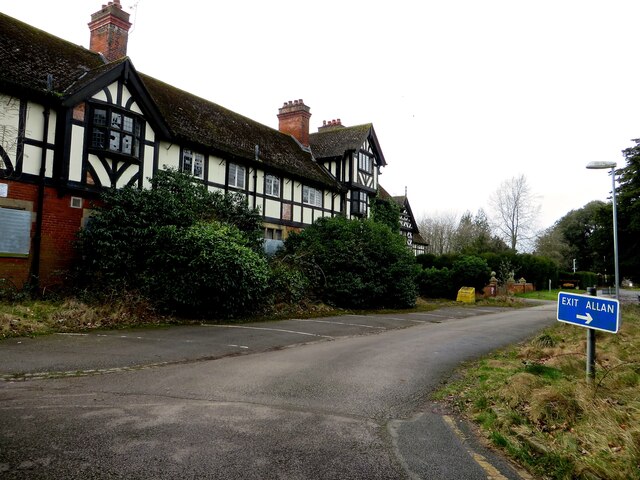
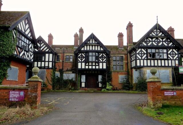
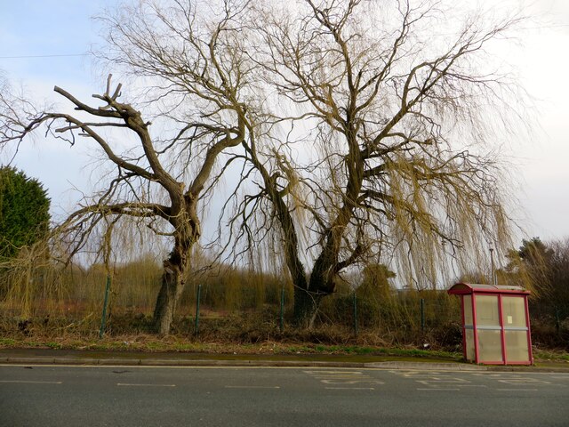
Images are sourced within 2km of 53.050036/-2.9415274 or Grid Reference SJ3650. Thanks to Geograph Open Source API. All images are credited.

The former Bryn Estyn Bryn Estyn was built for a Wrexham brewer in 1902-3, and became a secure school after WW2. It became notorious as the centre of a high level paedophile ring, and after closing, and a brief tenure as council offices, it is now scheduled for demolition.
The former Bryn Estyn
Bryn Estyn was built for a Wrexham brewer in 1902-3, and became a secure school after WW2. It became notorious as the centre of a high level paedophile ring, and after closing, and a brief tenure as council offices, it is now scheduled for demolition.
Shop parade on the Wrexham Industrial Estate
Safle Bws / Bus Stop On the Wrexham Industrial Estate.
Safle Bws / Bus Stop
On the Wrexham Industrial Estate.
Housing at Pentre Maelor A spacious estate, built around a huge green between 1948 - 52 for workers at the Firestone factory.
Housing at Pentre Maelor
A spacious estate, built around a huge green between 1948 - 52 for workers at the Firestone factory.
HMP Berwyn A windy day, as can be seen by the flags flying at HMP Berwyn.
HMP Berwyn
A windy day, as can be seen by the flags flying at HMP Berwyn.
Cefn Park
Cefn Park
The Village Bakery and Juvela The Village Bakery and Juvela bakery units on the Wrexham Industrial Estate.

Wikipedia <span class="nowrap"><a title="http://en.wikipedia.org/wiki/Wrexham_Industrial_Estate" rel="nofollow ugc noopener" href="http://en.wikipedia.org/wiki/Wrexham_Industrial_Estate">Link</a><img style="margin-left:2px;" alt="External link" title="External link - shift click to open in new window" src="https://s1.geograph.org.uk/img/external.png" width="10" height="10"/></span>
The Village Bakery and Juvela
The Village Bakery and Juvela bakery units on the Wrexham Industrial Estate. Wikipedia LinkExternal link
The Village Bakery on the Wrexham Industrial Estate Wikipedia <span class="nowrap"><a title="http://en.wikipedia.org/wiki/Wrexham_Industrial_Estate" rel="nofollow ugc noopener" href="http://en.wikipedia.org/wiki/Wrexham_Industrial_Estate">Link</a><img style="margin-left:2px;" alt="External link" title="External link - shift click to open in new window" src="https://s1.geograph.org.uk/img/external.png" width="10" height="10"/></span>
The Village Bakery on the Wrexham Industrial Estate
Wikipedia LinkExternal link
The Bridgeway Centre, Wrexham Industrial Estate
Bridge Road, Wrexham Industrial Estate Wikipedia <span class="nowrap"><a title="http://en.wikipedia.org/wiki/Wrexham_Industrial_Estate" rel="nofollow ugc noopener" href="http://en.wikipedia.org/wiki/Wrexham_Industrial_Estate">Link</a><img style="margin-left:2px;" alt="External link" title="External link - shift click to open in new window" src="https://s1.geograph.org.uk/img/external.png" width="10" height="10"/></span>
Bridge Road, Wrexham Industrial Estate
Wikipedia LinkExternal link
The Red Wither Inn (closed), Wrexham Industrial Estate Compare with the inn in its final days <a href="https://www.geograph.org.uk/photo/1191775">SJ3849 : Another one bites the Dust</a>.
The Red Wither Inn (closed), Wrexham Industrial Estate
Compare with the inn in its final days SJ3849 : Another one bites the Dust.
Junction of Dunster Road and Redwither Road The junction of Dunster Road and Redwither Road on the Wrexham Industrial Estate.
Junction of Dunster Road and Redwither Road
The junction of Dunster Road and Redwither Road on the Wrexham Industrial Estate.
Junction of Dunster Road and Redwither Road The junction of Dunster Road and Redwither Road on the Wrexham Industrial Estate.
Junction of Dunster Road and Redwither Road
The junction of Dunster Road and Redwither Road on the Wrexham Industrial Estate.
Coed Aben Road, Wrexham Industrial Estate
Redwither Road
Redwither Road
Llwyn-onn Hall Hotel, Wrexham
Waste Incinerator on Wrecsam Industrial Estate Waste incinerator on this busy industrial estate with Factories of many famous names.
Waste Incinerator on Wrecsam Industrial Estate
Waste incinerator on this busy industrial estate with Factories of many famous names.
Show me another place!

Redwither Wood is located at Grid Ref: SJ3650 (Lat: 53.050036, Lng: -2.9415274)

Unitary Authority: Wrexham

Police Authority: North Wales

What 3 Words

///haircuts.stack.wound. Near Marchwiel, Wrexham

Related Wikis

Wrexham RFC

Wrexham Rugby Football Club (Welsh: Clwb Rygbi Wrecsam) is a Welsh rugby union team based in Wrexham, Wales. Wrexham RFC is a member of the Welsh Rugby...
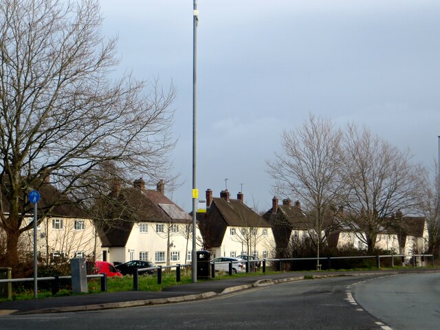
Pentre Maelor

Pentre Maelor is a housing estate near Wrexham Industrial Estate in Wrexham County Borough, Wales. In the 2011 census, its built-up area had a population...

Ysgol Morgan Llwyd

Ysgol Morgan Llwyd is a Welsh-medium comprehensive school in Wrexham, in north-east Wales, UK. It is the first, and is the only Welsh-medium secondary...

Abenbury

Abenbury is a community in Wrexham County Borough, Wales. It is situated south-east of Wrexham city and includes the village of Pentre Maelor and part...

Nearby Amenities

Located within 500m of 53.050036,-2.9415274
The data included in this document is from www.openstreetmap.org. The data is made available under ODbL.

Have you been to Redwither Wood?

Leave your review of Redwither Wood below (or comments, questions and feedback).