Mill Pool Covert
Wood, Forest in Denbighshire
Wales
Mill Pool Covert
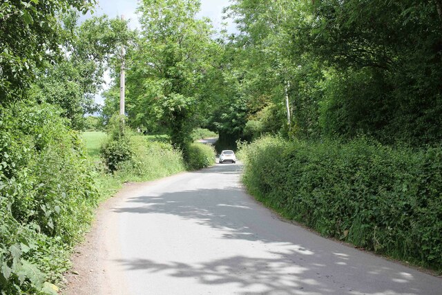
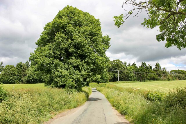
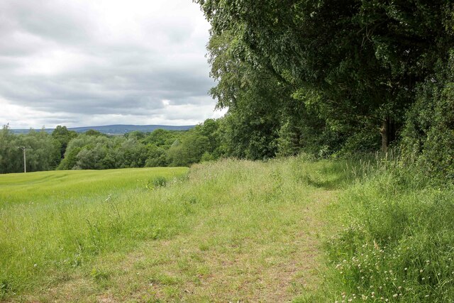
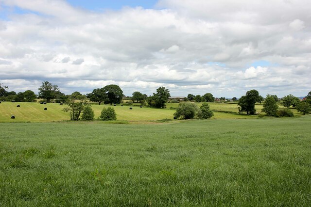
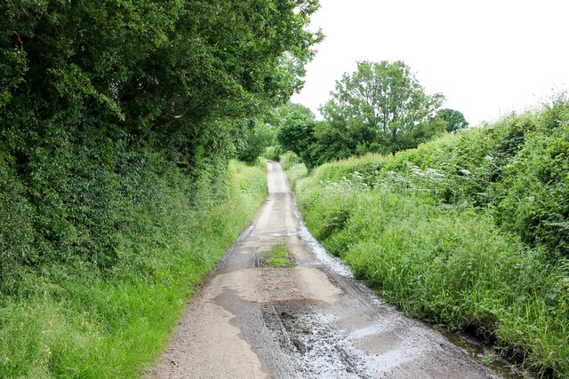
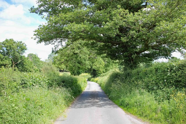
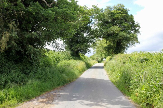
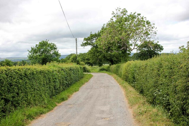
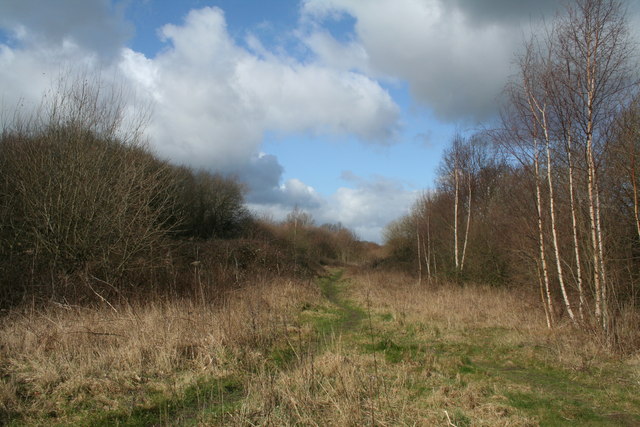
Mill Pool Covert is a picturesque woodland located in Denbighshire, a county in North Wales. Covering an area of approximately 50 acres, this enchanting woodland is a popular destination for nature lovers and outdoor enthusiasts alike.
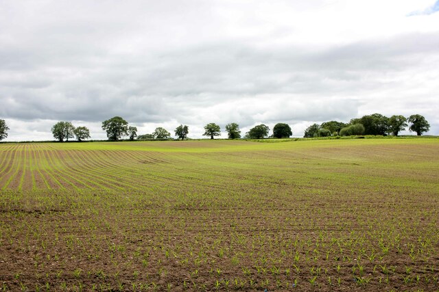
The woodland is characterized by its dense canopy of mature trees, including oak, beech, and ash, which provide a peaceful and serene atmosphere. The forest floor is covered with a variety of flora, such as bluebells, wild garlic, and wood anemones, creating a vibrant and colorful landscape during the spring and summer months.
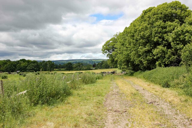
Mill Pool Covert is also home to a diverse range of wildlife. Visitors may spot a wide array of bird species, including woodpeckers, owls, and various songbirds. Squirrels scurrying among the trees and rabbits hopping through the undergrowth are a common sight. In addition, the covert is inhabited by a variety of insects, including butterflies and dragonflies.
The woodland offers several walking trails, providing visitors with the opportunity to explore its natural beauty at their own pace. The paths wind through the trees, leading to a tranquil mill pond, which adds to the overall tranquility of the area. This pond is teeming with aquatic life, including ducks and other waterfowl.
Mill Pool Covert is a perfect destination for those seeking solace in nature. Whether it's a leisurely stroll, birdwatching, or simply enjoying the peaceful surroundings, this woodland offers a unique and immersive experience for all who visit.
If you have any feedback on the listing, please let us know in the comments section below.
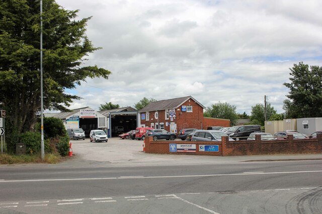
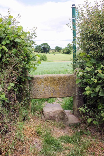
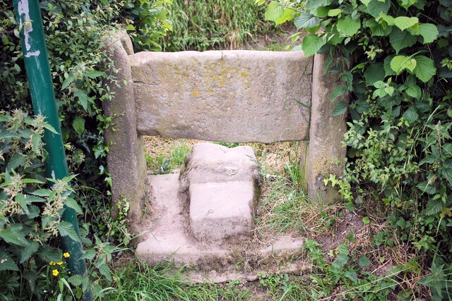
Mill Pool Covert Images
Images are sourced within 2km of 53.025326/-2.9812452 or Grid Reference SJ3448. Thanks to Geograph Open Source API. All images are credited.

Mill Pool Covert is located at Grid Ref: SJ3448 (Lat: 53.025326, Lng: -2.9812452)
Unitary Authority: Wrexham
Police Authority: North Wales
What 3 Words
///snoring.monkeys.torso. Near Marchwiel, Wrexham
Nearby Locations
Related Wikis

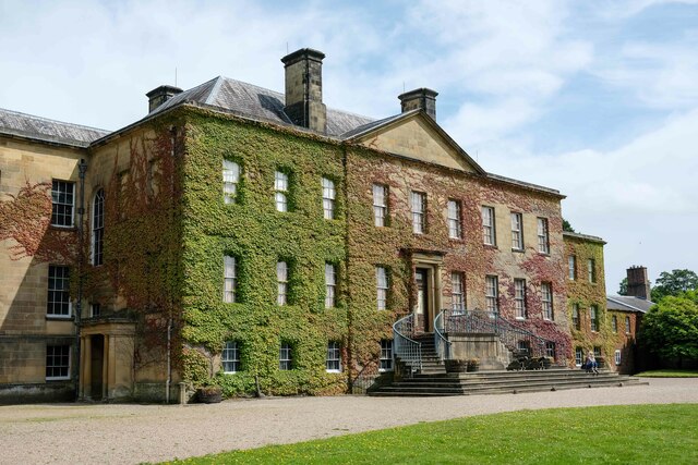
Marchwiel Hall
Marchwiel Hall is a Grade II listed building in the village of Marchwiel, Wrexham County Borough in North Wales. == History == Marchwiel Hall was a seat...

A525 road
The A525 is a major route from Rhyl in Wales to Newcastle-under-Lyme in England. The route passes near Denbigh, through Ruthin, through Wrexham and near...
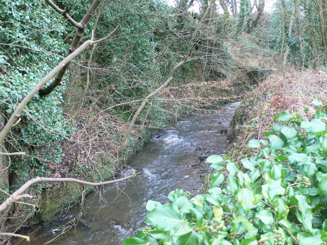
River Gwenfro
The River Gwenfro (Welsh: Afon Gwenfro) is a small river in Wrexham County Borough, north Wales. It is a tributary of the Clywedog. The name Gwenfro is...

Hightown Barracks
Hightown Barracks is a military installation in Wrexham, Wales. == History == The barracks were built in the Fortress Gothic Revival Style and completed...

Marchwiel
Marchwiel (Welsh: Marchwiail; standardised: Marchwiel) is a village and community in Wrexham County Borough, Wales. It is about 2 miles south-east of Wrexham...

Hightown, Wrexham
Hightown is a suburban area of Wrexham, in Wrexham County Borough, Wales.The Wrexham and Ellesmere Railway used to have a station known as Hightown Halt...
St Joseph's Catholic and Anglican High School
St Joseph's Catholic and Anglican High School (Welsh: Ysgol Uwchradd Gatholig ac Anglicanaidd Sant Joseff) is a secondary school in Wrexham, Wales, located...
Marchwiel railway station
Marchwiel railway station was a station in Marchwiel, Wrexham, Wales. The station was opened on 2 November 1895 and closed on 10 September 1962. ��2�...
Nearby Amenities
Located within 500m of 53.025326,-2.9812452Have you been to Mill Pool Covert?
Leave your review of Mill Pool Covert below (or comments, questions and feedback).