Well Wood

Wood, Forest in Denbighshire

Wales

Well Wood

View across Reynold's Grave View across the fields which according to the OS map has the odd name of Reynold's Grave.
View across Reynold's Grave Credit: Jeff Buck

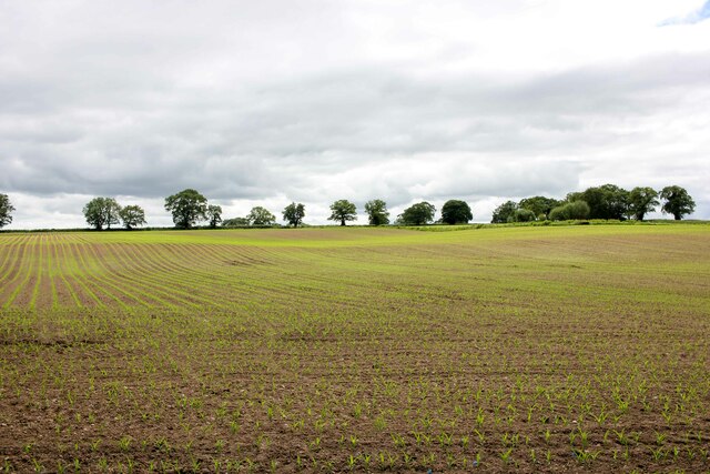
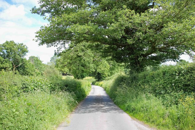
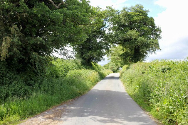
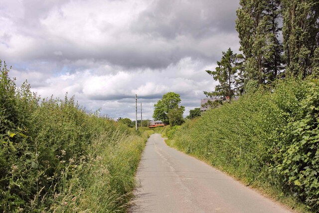
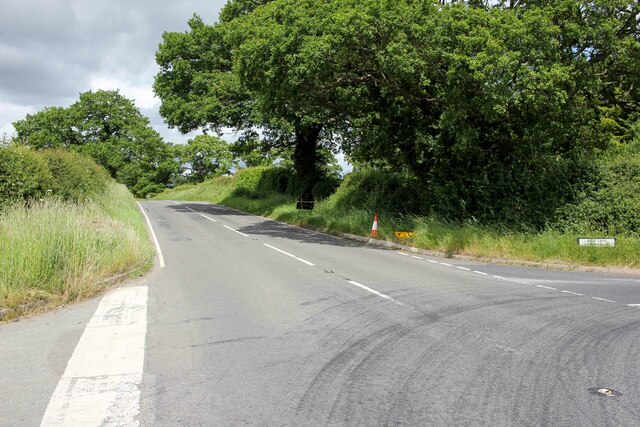
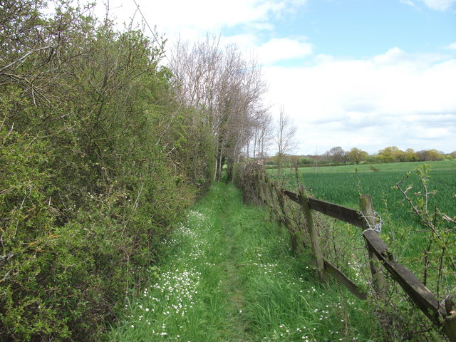
Well Wood is a picturesque forest located in Denbighshire, Wales. Covering an area of approximately 200 acres, this woodland is a popular destination for nature lovers and outdoor enthusiasts. The wood is characterized by a diverse range of tree species, including oak, beech, and birch, creating a rich and vibrant canopy overhead.

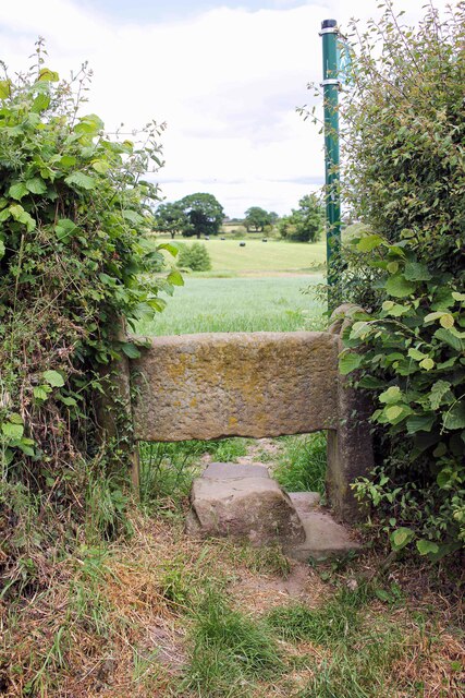
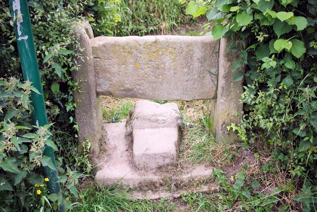
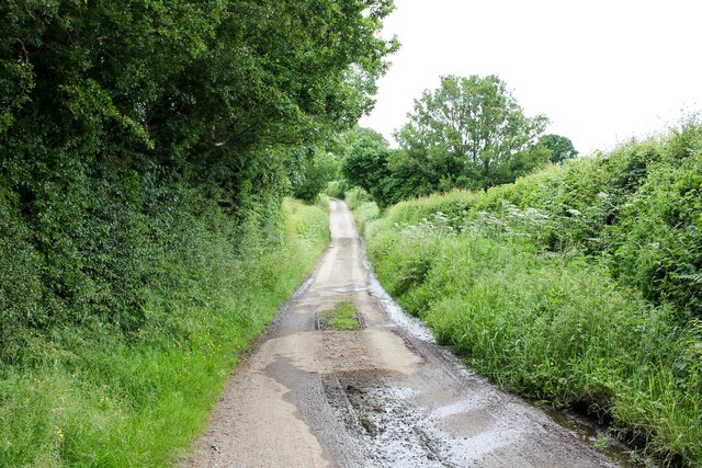
Visitors to Well Wood can enjoy a variety of activities such as hiking, birdwatching, and picnicking. There are several well-marked trails that wind their way through the forest, offering stunning views of the surrounding countryside. The tranquil atmosphere of the wood makes it an ideal spot for a peaceful stroll or a relaxing day out in nature.

Well Wood is also home to a variety of wildlife, including deer, squirrels, and a wide array of bird species. Nature enthusiasts will delight in the opportunity to observe these creatures in their natural habitat. The wood is managed by local conservation organizations to ensure the preservation of its natural beauty and biodiversity for future generations to enjoy. Overall, Well Wood is a beautiful and serene destination that offers a peaceful retreat from the hustle and bustle of everyday life.

If you have any feedback on the listing, please let us know in the comments section below.
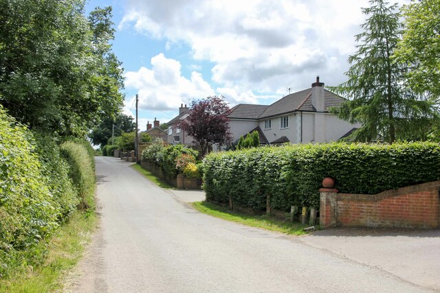
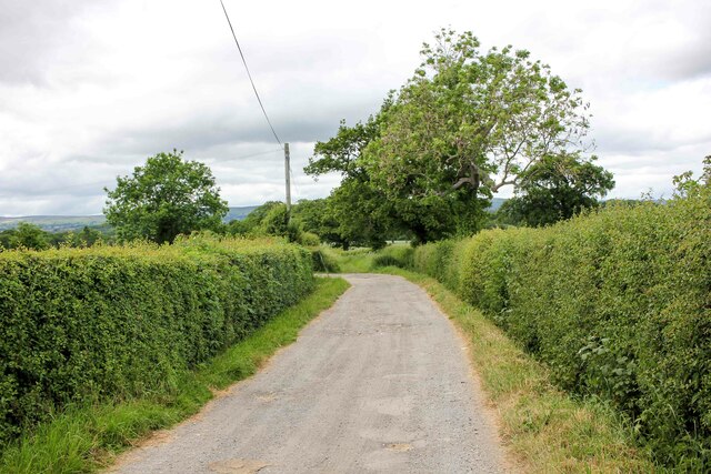
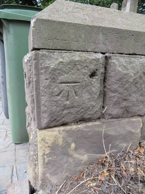
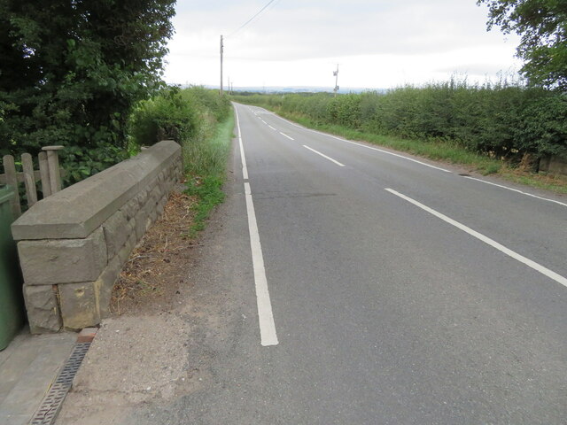
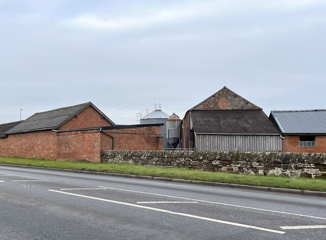
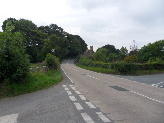
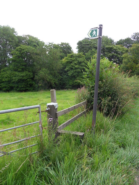
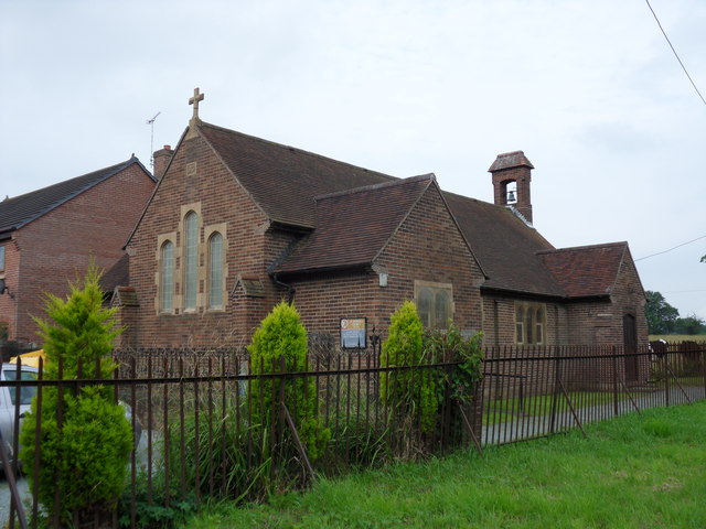
Well Wood Images

Images are sourced within 2km of 53.003066/-2.9858218 or Grid Reference SJ3345. Thanks to Geograph Open Source API. All images are credited.

View across Reynold's Grave View across the fields which according to the OS map has the odd name of Reynold's Grave.
View across Reynold's Grave
View across the fields which according to the OS map has the odd name of Reynold's Grave.
Stile off Woodhouse Lane An old stone stile off Stonehouse Lane near Old Hall Farm.
Stile off Woodhouse Lane
An old stone stile off Stonehouse Lane near Old Hall Farm.
Stile off Woodhouse Lane An old stone stile off Stonehouse Lane near Old Hall Farm.
Stile off Woodhouse Lane
An old stone stile off Stonehouse Lane near Old Hall Farm.
Woodhouse Lane Heading south along the narrow Woodhouse Lane towards Cock Bank.
Woodhouse Lane
Heading south along the narrow Woodhouse Lane towards Cock Bank.
Bwgan-ddu Lane Looking east along Bwgan-ddu Lane between Sontley and Cock Bank.
Bwgan-ddu Lane
Looking east along Bwgan-ddu Lane between Sontley and Cock Bank.
Bwgan-ddu Lane Looking west along Bwgan-ddu Lane between Sontley and Cock Bank.
Bwgan-ddu Lane
Looking west along Bwgan-ddu Lane between Sontley and Cock Bank.
Cockbank Lane Looking North-northwest along Cockbank Lane towards Pentre Mailyn south of Wrexham.
Cockbank Lane
Looking North-northwest along Cockbank Lane towards Pentre Mailyn south of Wrexham.
The A528 (Overton Road) at Cock Bank Looking north along the A528 (Overton Road) at Cock Bank at the junction of Cockbank Lane and the B5130 (Pentre Nant Lane).
The A528 (Overton Road) at Cock Bank
Looking north along the A528 (Overton Road) at Cock Bank at the junction of Cockbank Lane and the B5130 (Pentre Nant Lane).
Lane near Woodlands Cottages Heading south towards the B5426.
Lane near Woodlands Cottages
Heading south towards the B5426.
Lane to Sontley Road Marked on the OS map as a short on-road cycle route this lane heads west towards Sontley Road.
Lane to Sontley Road
Marked on the OS map as a short on-road cycle route this lane heads west towards Sontley Road.
Benchmark on Black Brook Bridge Ordnance Survey benchmark on Black Brook Bridge parapet alongside the B5426, east of Rhosllanerchrugog. Levelled at 92.162m above Newlyn Datum, verified 1959. For a wider view see: <a href="https://www.geograph.org.uk/photo/7541558">SJ3245 : The B5426 over Black Brook Bridge</a>  Benchmark database: <span class="nowrap"><a title="https://www.bench-marks.org.uk/bm197126" rel="nofollow ugc noopener" href="https://www.bench-marks.org.uk/bm197126">Link</a><img style="margin-left:2px;" alt="External link" title="External link - shift click to open in new window" src="https://s1.geograph.org.uk/img/external.png" width="10" height="10"/></span>
Benchmark on Black Brook Bridge
Ordnance Survey benchmark on Black Brook Bridge parapet alongside the B5426, east of Rhosllanerchrugog. Levelled at 92.162m above Newlyn Datum, verified 1959. For a wider view see: SJ3245 : The B5426 over Black Brook Bridge Benchmark database: LinkExternal link
The B5426 over Black Brook Bridge Looking west across Black Brook Bridge, east of Rhosllanerchrugog. There is an Ordnance Survey benchmark on the corner of the bridge parapet on the left: <a href="https://www.geograph.org.uk/photo/7541548">SJ3245 : Benchmark on Black Brook Bridge</a>
The B5426 over Black Brook Bridge
Looking west across Black Brook Bridge, east of Rhosllanerchrugog. There is an Ordnance Survey benchmark on the corner of the bridge parapet on the left: SJ3245 : Benchmark on Black Brook Bridge
Farm buildings at Eyton House
The B5426 Cross roads along the B5426, right turn to Gyfelia, left into Sontley Road.
The B5426
Cross roads along the B5426, right turn to Gyfelia, left into Sontley Road.
Gyfelia Path Footpath adjacent to Sontley Road off the B5426, leads to Gyfelia Wood.
Gyfelia Path
Footpath adjacent to Sontley Road off the B5426, leads to Gyfelia Wood.
St Deiniol's Built in 1939, St Deiniol's, Eyton.
St Deiniol's
Built in 1939, St Deiniol's, Eyton.
Llwybr Clawdd Wat heading North towards Sontley The Wat's Dyke Way covers 99km from Llanymynech to Holywell and this section is along beside the earthwork.
<span class="nowrap"><a title="http://www.watsdykeway.org/1.html" rel="nofollow ugc noopener" href="http://www.watsdykeway.org/1.html">Link</a><img style="margin-left:2px;" alt="External link" title="External link - shift click to open in new window" src="https://s1.geograph.org.uk/img/external.png" width="10" height="10"/></span>
Llwybr Clawdd Wat heading North towards Sontley
The Wat's Dyke Way covers 99km from Llanymynech to Holywell and this section is along beside the earthwork. LinkExternal link
Pair of "Mock Tudor" cottages at Black Brook bridge Great pair of cottages with superb gardens at the rear.
<a href="https://www.geograph.org.uk/photo/2937384">SJ3245 : Well organised kitchen garden</a>
Pair of "Mock Tudor" cottages at Black Brook bridge
Great pair of cottages with superb gardens at the rear. SJ3245 : Well organised kitchen garden
Show me another place!

Well Wood is located at Grid Ref: SJ3345 (Lat: 53.003066, Lng: -2.9858218)

Unitary Authority: Wrexham

Police Authority: North Wales

What 3 Words

///search.technical.drivers. Near Marchwiel, Wrexham

Nearby Locations

Gyfelia Wood Well Wood

Related Wikis

Wrexham Maelor

Wrexham Maelor (Welsh: Wrecsam Maelor) was a local government district with borough status, being one of six districts in the county of Clwyd, north-east...

Marchwiel Hall

Marchwiel Hall is a Grade II listed building in the village of Marchwiel, Wrexham County Borough in North Wales. == History == Marchwiel Hall was a seat...

Marchwiel

Marchwiel (Welsh: Marchwiail; standardised: Marchwiel) is a village and community in Wrexham County Borough, Wales. It is about 2 miles south-east of Wrexham...
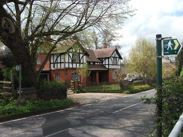
Erddig

Erddig Hall (Welsh: Neuadd Erddig; or simply Erddig; Welsh pronunciation: [ˈɛrðɪɡ]) is a Grade-I listed National Trust property near Wrexham, North Wales...

Nearby Amenities

Located within 500m of 53.003066,-2.9858218
Place: farm
Lat/Long: 53.0051486/-2.9887327
Place: farm
Lat/Long: 53.004064/-2.9907068
Direction: 185
Generator Method: photovoltaic
Generator Output Electricity: yes
Generator Solar Modules: 16
Generator Source: solar
Generator Type: solar_photovoltaic_panel
Location: roof
Power: generator
Lat/Long: 53.0031645/-2.9905067
Direction: 185
Generator Method: photovoltaic
Generator Output Electricity: yes
Generator Solar Modules: 10
Generator Source: solar
Generator Type: solar_photovoltaic_panel
Location: roof
Power: generator
Lat/Long: 53.0028649/-2.9906014
The data included in this document is from www.openstreetmap.org. The data is made available under ODbL.

Have you been to Well Wood?

Leave your review of Well Wood below (or comments, questions and feedback).