Reynolds's Grave Covert
Wood, Forest in Denbighshire
Wales
Reynolds's Grave Covert
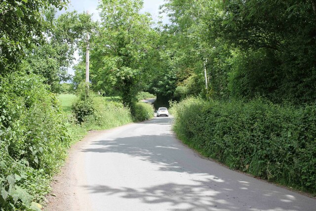
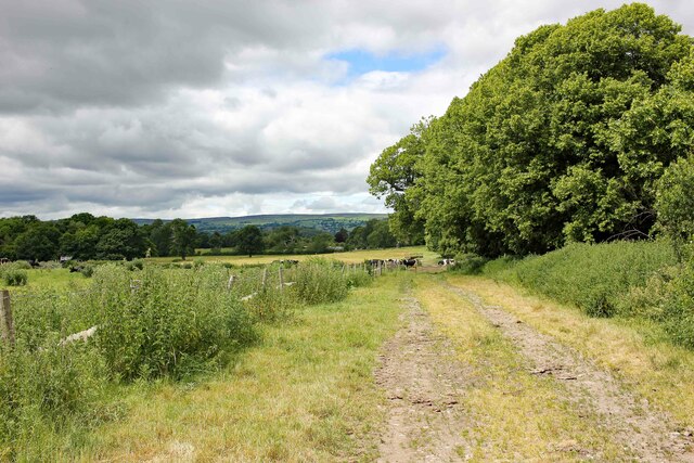
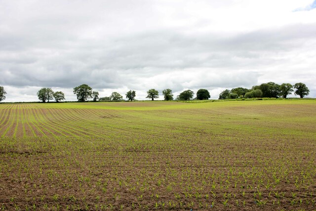
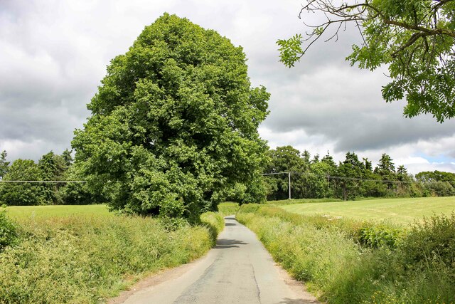
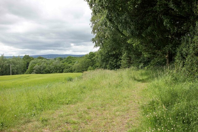
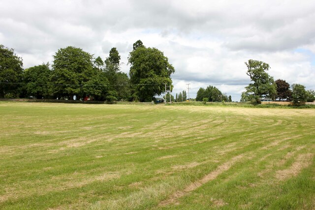
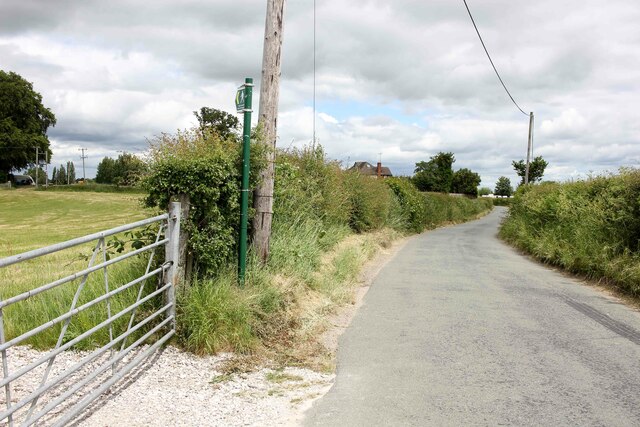
Reynolds's Grave Covert is a woodland located in Denbighshire, Wales. The forest is known for its dense canopy of trees, which includes a variety of species such as oak, beech, and birch. The woodland is a popular destination for hikers and nature enthusiasts, offering a peaceful and serene environment for visitors to explore.
The forest is home to a diverse range of wildlife, including deer, squirrels, and a variety of bird species. Visitors may also come across a number of plants and flowers that thrive in the woodland, adding to the beauty and biodiversity of the area.
Reynolds's Grave Covert has a rich history, with the name believed to be derived from a local legend or historical figure. The forest is steeped in folklore and mystery, adding to its allure and intrigue for those who visit.
Overall, Reynolds's Grave Covert is a picturesque and tranquil woodland that offers a peaceful retreat for those looking to escape the hustle and bustle of everyday life and immerse themselves in nature.
If you have any feedback on the listing, please let us know in the comments section below.
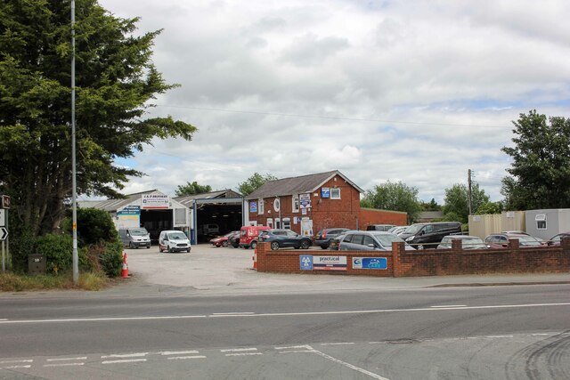
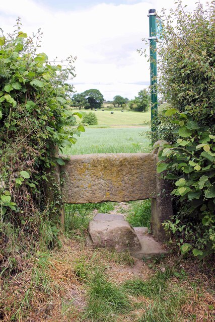
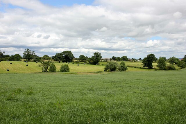
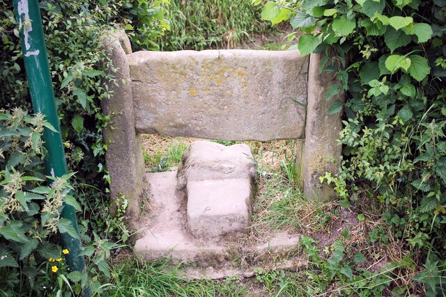
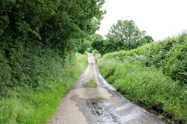
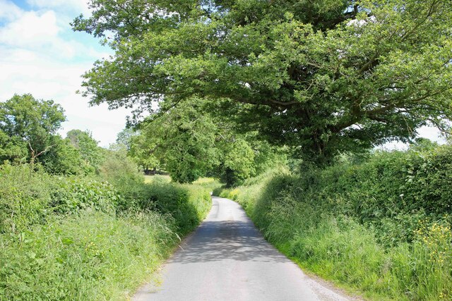
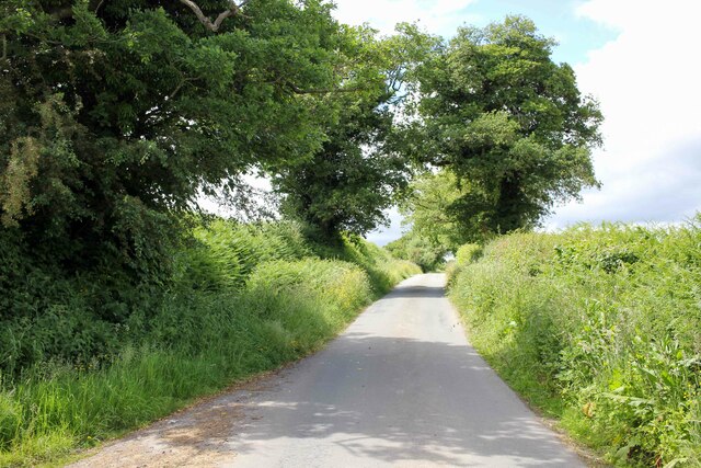
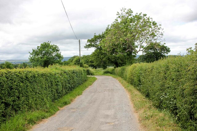
Reynolds's Grave Covert Images
Images are sourced within 2km of 53.021842/-2.9862797 or Grid Reference SJ3347. Thanks to Geograph Open Source API. All images are credited.

Reynolds's Grave Covert is located at Grid Ref: SJ3347 (Lat: 53.021842, Lng: -2.9862797)
Unitary Authority: Wrexham
Police Authority: North Wales
What 3 Words
///sometimes.sprawls.serves. Near Marchwiel, Wrexham
Nearby Locations
Related Wikis

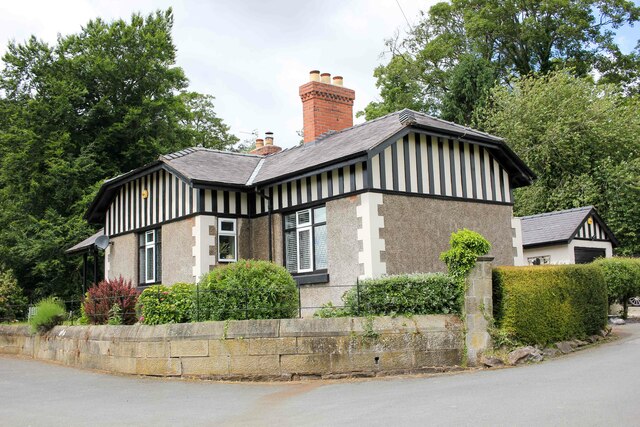
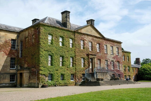
Marchwiel Hall
Marchwiel Hall is a Grade II listed building in the village of Marchwiel, Wrexham County Borough in North Wales. == History == Marchwiel Hall was a seat...

A525 road
The A525 is a major route from Rhyl in Wales to Newcastle-under-Lyme in England. The route passes near Denbigh, through Ruthin, through Wrexham and near...

Erddig
Erddig Hall (Welsh: Neuadd Erddig; or simply Erddig; Welsh pronunciation: [ˈɛrðɪɡ]) is a Grade-I listed National Trust property near Wrexham, North Wales...
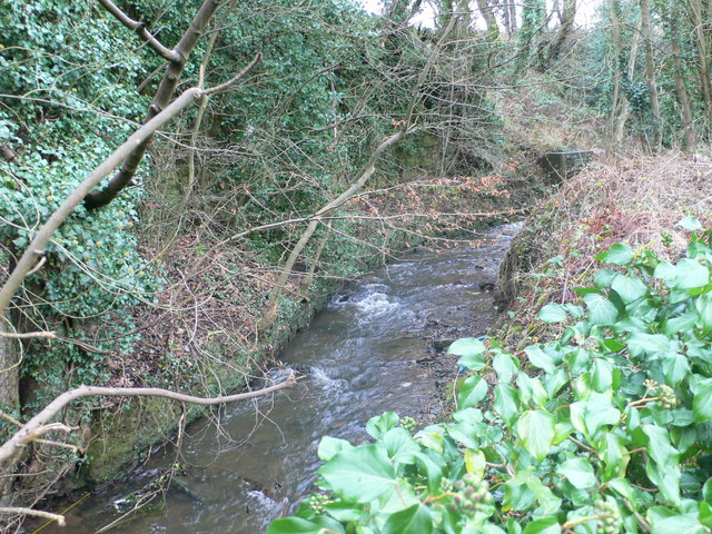
River Gwenfro
The River Gwenfro (Welsh: Afon Gwenfro) is a small river in Wrexham County Borough, north Wales. It is a tributary of the Clywedog. The name Gwenfro is...
Nearby Amenities
Located within 500m of 53.021842,-2.9862797Have you been to Reynolds's Grave Covert?
Leave your review of Reynolds's Grave Covert below (or comments, questions and feedback).