Graig yr Harris

Wood, Forest in Monmouthshire

Wales

Graig yr Harris

Priory Wood Nature Reserve, Monmouthshire Gwent Wildlife Trust information board with path, cleared that day, going to the left uphill. The tools are being used by a Trust working party on a rainy autumnal day.
Priory Wood Nature Reserve, Monmouthshire Credit: M J Roscoe

The requested URL returned error: 429 Too Many Requests

If you have any feedback on the listing, please let us know in the comments section below.

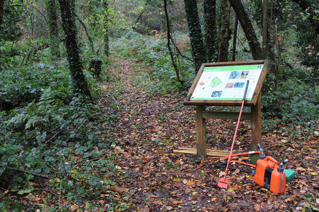
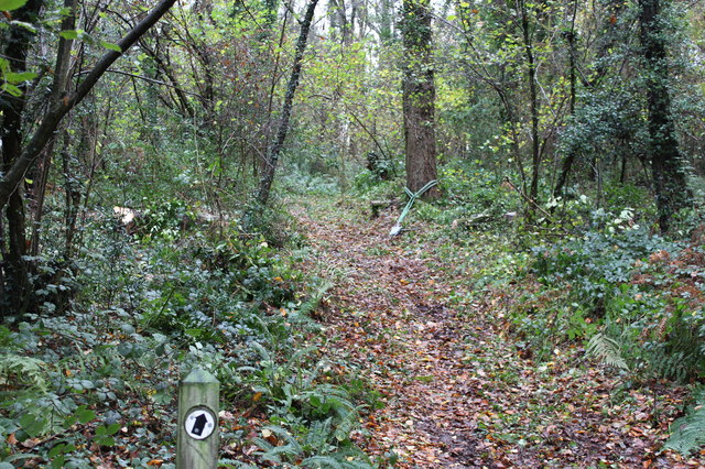
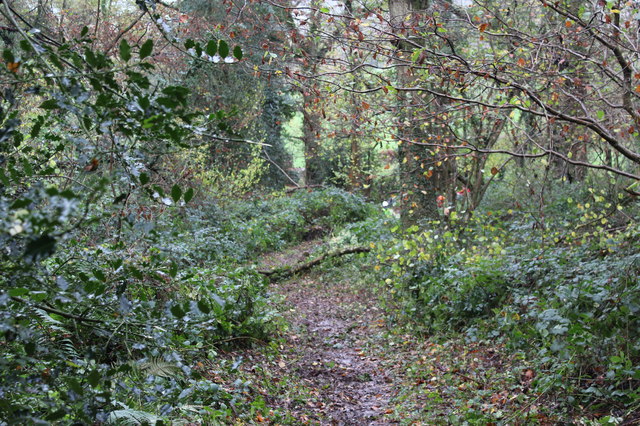
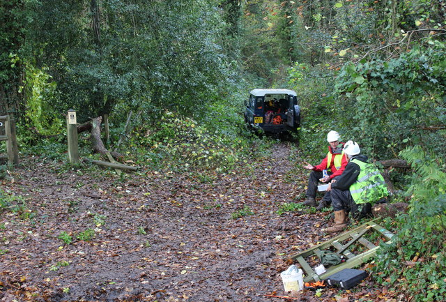
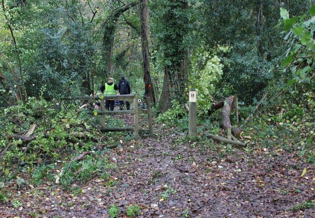
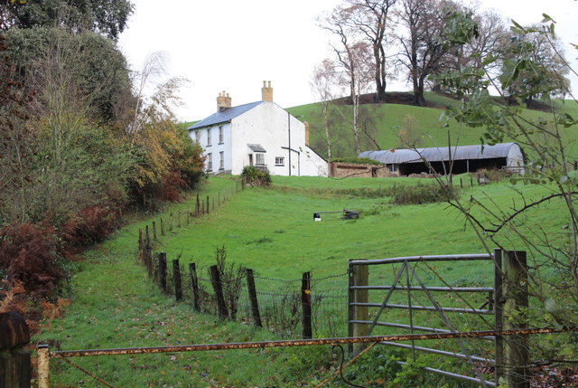
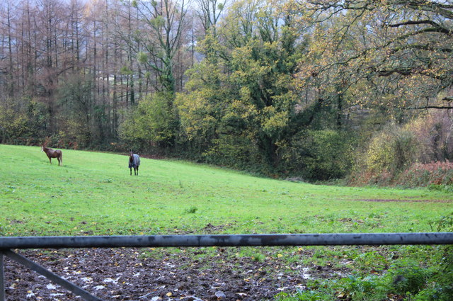
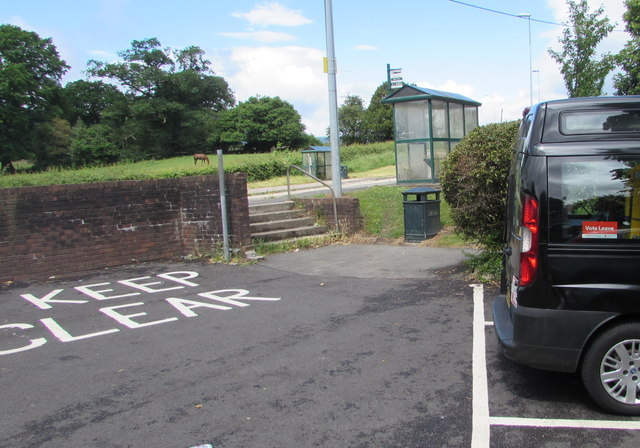
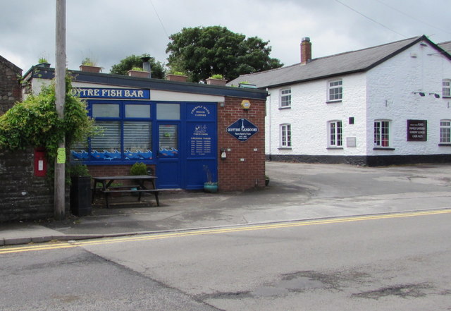
Graig yr Harris Images

Images are sourced within 2km of 51.740012/-2.9577967 or Grid Reference SO3305. Thanks to Geograph Open Source API. All images are credited.

Priory Wood Nature Reserve, Monmouthshire Gwent Wildlife Trust information board with path, cleared that day, going to the left uphill. The tools are being used by a Trust working party on a rainy autumnal day.
Priory Wood Nature Reserve, Monmouthshire
Gwent Wildlife Trust information board with path, cleared that day, going to the left uphill. The tools are being used by a Trust working party on a rainy autumnal day.
Priory Wood Nature Reserve, Monmouthshire Track uphill viewed from near the GWT information board  in <a href="https://www.geograph.org.uk/photo/4743344">SO3505 : Priory Wood Nature Reserve, Monmouthshire</a>. The rope strop round the base of the tree was to assist in felling an unsafe tree.
Priory Wood Nature Reserve, Monmouthshire
Track uphill viewed from near the GWT information board in SO3505 : Priory Wood Nature Reserve, Monmouthshire. The rope strop round the base of the tree was to assist in felling an unsafe tree.
Priory Wood Nature Reserve, Monmouthshire Looking down track from near information board in <a href="https://www.geograph.org.uk/photo/4743344">SO3505 : Priory Wood Nature Reserve, Monmouthshire</a>. The branch lying across the track is the result of removing unsafe tree branches by a Gwent Wildlife Trust working party.
Priory Wood Nature Reserve, Monmouthshire
Looking down track from near information board in SO3505 : Priory Wood Nature Reserve, Monmouthshire. The branch lying across the track is the result of removing unsafe tree branches by a Gwent Wildlife Trust working party.
Entrance, Priory Wood Nature Reserve Two volunteer members of a Gwent Wildlife Trust working party having a lunch break during a break in the rain. The small gate on the ground had been removed to prevent its being damaged during lopping of unsafe branches; note that, to the left, a branch has broken the fence.
Entrance, Priory Wood Nature Reserve
Two volunteer members of a Gwent Wildlife Trust working party having a lunch break during a break in the rain. The small gate on the ground had been removed to prevent its being damaged during lopping of unsafe branches; note that, to the left, a branch has broken the fence.
Pedestrian entrance, Priory Wood Nature Reserve The gate had been removed to prevent its being damaged during tree surgery by Gwent Wildlife Trust. The fence to the right of the gate post has been damaged by a falling branch. The tree (centre) marked with a red spot was felled later that afternoon.
Pedestrian entrance, Priory Wood Nature Reserve
The gate had been removed to prevent its being damaged during tree surgery by Gwent Wildlife Trust. The fence to the right of the gate post has been damaged by a falling branch. The tree (centre) marked with a red spot was felled later that afternoon.
Thornberry Cottage near Priory Wood A cottage, across the minor road from Priory Wood NR.
Thornberry Cottage near Priory Wood
A cottage, across the minor road from Priory Wood NR.
Paddock above River Usk Horses in field alongside minor road from Chain Bridge.
Paddock above River Usk
Horses in field alongside minor road from Chain Bridge.
BT phonebox, Penperlleni Alongside Star Road opposite the Goytre Arms. <a title="https://www.geograph.org.uk/photo/4992514" href="https://www.geograph.org.uk/photo/4992514">Link</a>
BT phonebox, Penperlleni
Alongside Star Road opposite the Goytre Arms. Link
Vote Leave, Penperlleni On Sunday June 12th 2016, a Vote Leave sticker is in the rear window of a car in Goytre Car Park.
Vote Leave, Penperlleni
On Sunday June 12th 2016, a Vote Leave sticker is in the rear window of a car in Goytre Car Park.
Steps at the northern end of  Goytre Car Park, Penperlleni Leading up to the A4042 and bus stops & shelters.
Steps at the northern end of Goytre Car Park, Penperlleni
Leading up to the A4042 and bus stops & shelters.
Goytre Arms, Penperlleni Pub and restaurant viewed across the A4042 in June 2016. 
This <a title="https://www.geograph.org.uk/photo/2484987" href="https://www.geograph.org.uk/photo/2484987">Link</a> is how the Goytre Arms looked in June 2011.
Goytre Arms, Penperlleni
Pub and restaurant viewed across the A4042 in June 2016. This Link is how the Goytre Arms looked in June 2011.
Goytre Car Park,  Penperlleni Free parking for 21 cars or light vans, accessed from Star Road near the A4042 and the Goytre Arms. <a title="https://www.geograph.org.uk/photo/4992514" href="https://www.geograph.org.uk/photo/4992514">Link</a>
Goytre Car Park, Penperlleni
Free parking for 21 cars or light vans, accessed from Star Road near the A4042 and the Goytre Arms. Link
Goytre Fish Bar & Goytre Tandoori, Penperlleni The Star Road takeaway is opposite the Fairfield junction.
Goytre Fish Bar & Goytre Tandoori, Penperlleni
The Star Road takeaway is opposite the Fairfield junction.
Junction of Fairfield and Star Road,  Penperlleni The southern end of Fairfield viewed across Star Road.
Public toilets on the left are at the edge of Goytre Car Park.
Junction of Fairfield and Star Road, Penperlleni
The southern end of Fairfield viewed across Star Road. Public toilets on the left are at the edge of Goytre Car Park.
Public toilets, Penperlleni In the SE corner of Goytre Car Park.
Public toilets, Penperlleni
In the SE corner of Goytre Car Park.
Queen Elizabeth II postbox in a Star Road wall,  Penperlleni On the left here, <a title="https://www.geograph.org.uk/photo/4992572" href="https://www.geograph.org.uk/photo/4992572">Link</a> opposite the Fairfield junction.
Queen Elizabeth II postbox in a Star Road wall, Penperlleni
On the left here, Link opposite the Fairfield junction.
Southwest side of Star Road, Penperlleni Wall postbox <a title="https://www.geograph.org.uk/photo/4992556" href="https://www.geograph.org.uk/photo/4992556">Link</a> Goytre Fish Bar <a title="https://www.geograph.org.uk/photo/4992520" href="https://www.geograph.org.uk/photo/4992520">Link</a> and the Goytre Arms <a title="https://www.geograph.org.uk/photo/4992514" href="https://www.geograph.org.uk/photo/4992514">Link</a> viewed from the corner of Fairfield.
Southwest side of Star Road, Penperlleni
Wall postbox Link Goytre Fish Bar Link and the Goytre Arms Link viewed from the corner of Fairfield.
Northeast side of Star Road, Penperlleni From right to left are the Fairfield junction <a title="https://www.geograph.org.uk/photo/4992525" href="https://www.geograph.org.uk/photo/4992525">Link</a> public toilets <a title="https://www.geograph.org.uk/photo/4992538" href="https://www.geograph.org.uk/photo/4992538">Link</a> 
BT phonebox <a title="https://www.geograph.org.uk/photo/4992511" href="https://www.geograph.org.uk/photo/4992511">Link</a> and the entrance to Goytre Car Park. <a title="https://www.geograph.org.uk/photo/4992516" href="https://www.geograph.org.uk/photo/4992516">Link</a>
Northeast side of Star Road, Penperlleni
From right to left are the Fairfield junction Link public toilets Link BT phonebox Link and the entrance to Goytre Car Park. Link
Show me another place!

Graig yr Harris is located at Grid Ref: SO3305 (Lat: 51.740012, Lng: -2.9577967)

Unitary Authority: Monmouthshire

Police Authority: Gwent

What 3 Words

///snuggle.deluded.repeat. Near Usk, Monmouthshire

Nearby Locations

Graig yr Harris

Related Wikis

Alice Springs Golf Club

Alice Springs Golf Club - Now Closed (Welsh: Clwb Golff Alice Springs) is a former golf club based just outside Usk at Monmouthshire, Wales. Alice Springs...

Church of All Saints, Kemeys Commander

The Church of All Saints, Kemeys Commander, Monmouthshire, Wales, is a parish church with its origins in the 13th century. It is a Grade II* listed building...

Church Farmhouse, Kemeys Commander

Church Farmhouse, Kemeys Commander, Monmouthshire is a former parsonage dating from the mid-16th century. The farmhouse and the attached barn are Grade...

Kemeys Commander

Kemeys Commander (Welsh: Cemais Comawndwr) is a village in Monmouthshire, in South East Wales. == Location == Kemeys Commander, 3 miles (4.8 km) north...

Nearby Amenities

Located within 500m of 51.740012,-2.9577967
Power: tower
Lat/Long: 51.7373507/-2.9619265
Power: tower
Lat/Long: 51.7393403/-2.9617322
Power: tower
Lat/Long: 51.7417747/-2.961505
Power: tower
Lat/Long: 51.7434096/-2.9613548
The data included in this document is from www.openstreetmap.org. The data is made available under ODbL.

Have you been to Graig yr Harris?

Leave your review of Graig yr Harris below (or comments, questions and feedback).