Gyfelia Wood

Wood, Forest in Denbighshire

Wales

Gyfelia Wood

View across Reynold's Grave View across the fields which according to the OS map has the odd name of Reynold's Grave.
View across Reynold's Grave Credit: Jeff Buck

The requested URL returned error: 429 Too Many Requests

If you have any feedback on the listing, please let us know in the comments section below.
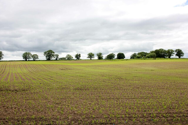
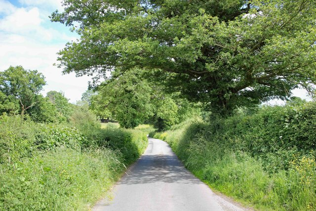
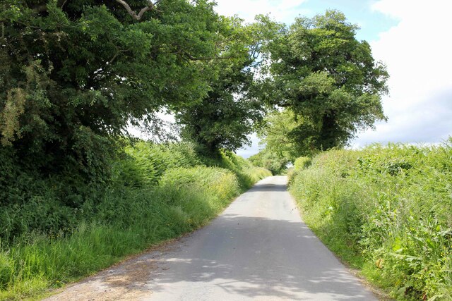
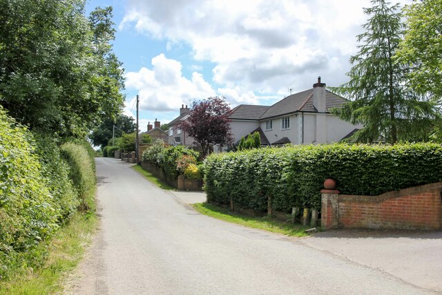
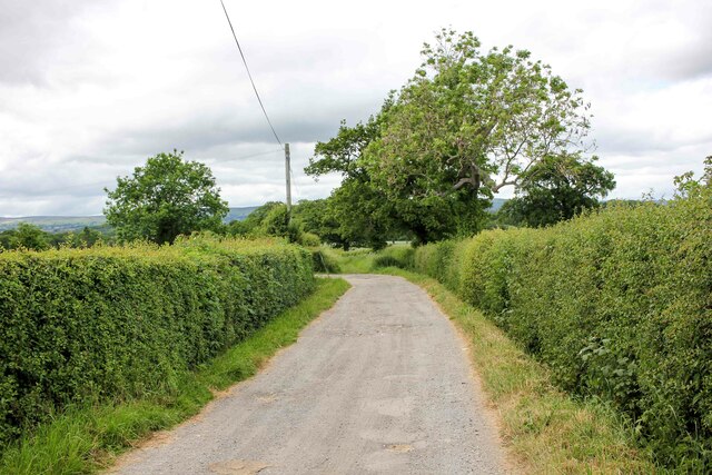
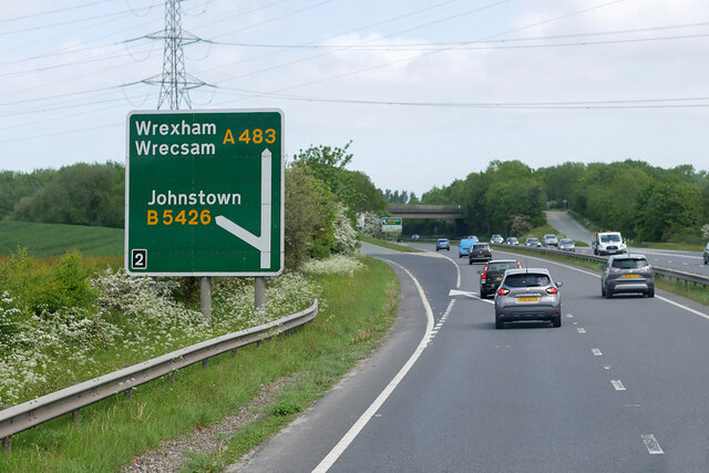
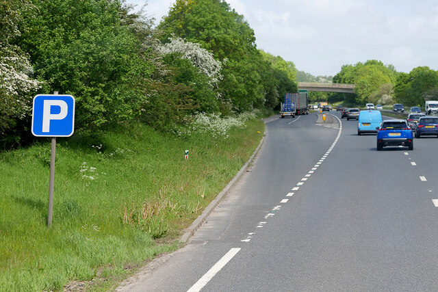
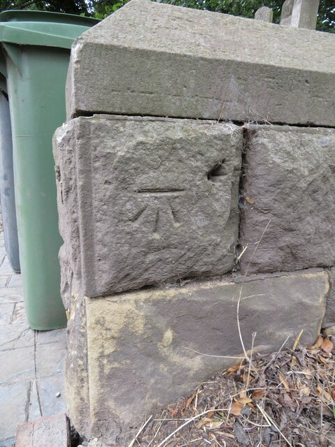
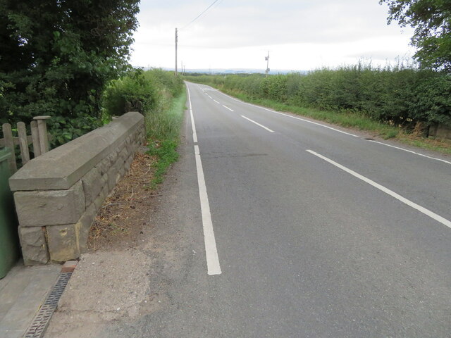
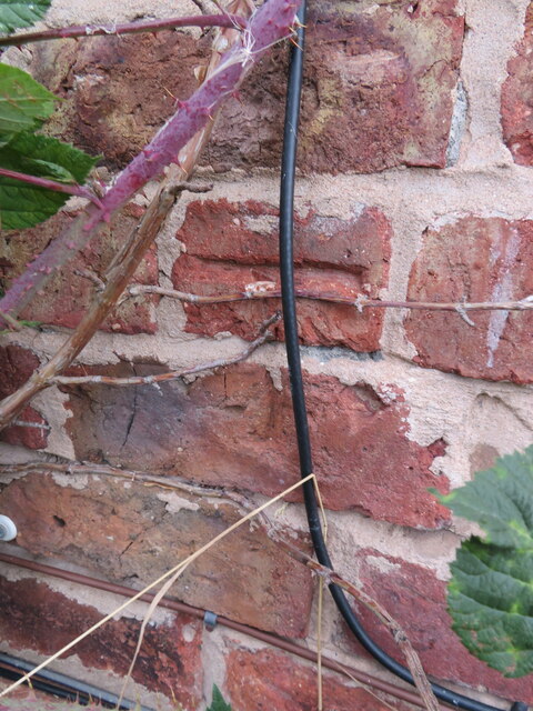
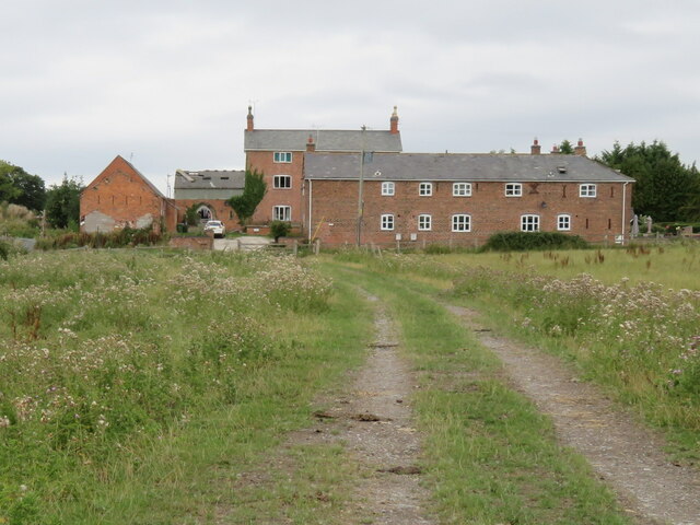
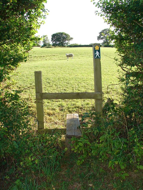
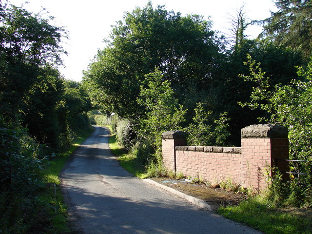
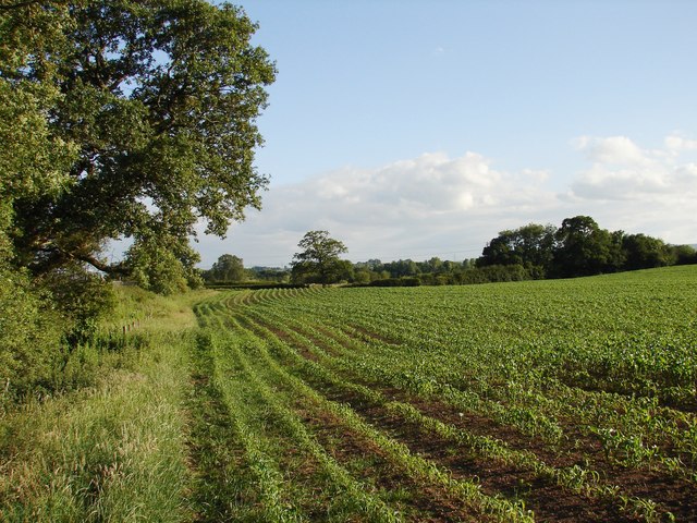
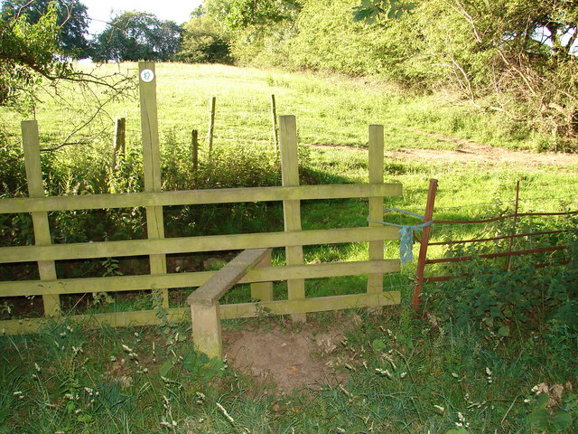
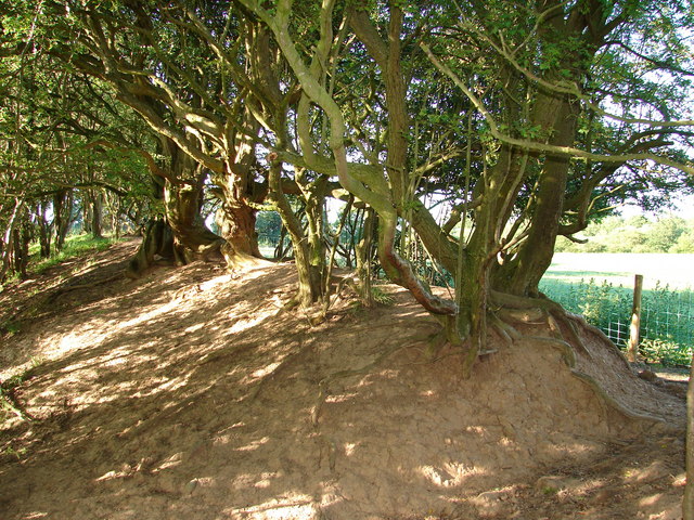
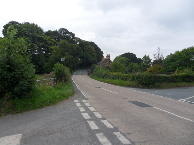
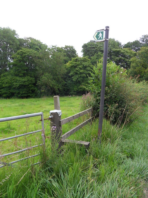
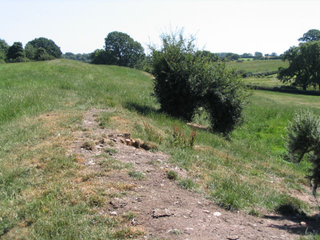
Gyfelia Wood Images

Images are sourced within 2km of 53.002478/-2.9992499 or Grid Reference SJ3345. Thanks to Geograph Open Source API. All images are credited.

View across Reynold's Grave View across the fields which according to the OS map has the odd name of Reynold's Grave.
View across Reynold's Grave
View across the fields which according to the OS map has the odd name of Reynold's Grave.
Bwgan-ddu Lane Looking east along Bwgan-ddu Lane between Sontley and Cock Bank.
Bwgan-ddu Lane
Looking east along Bwgan-ddu Lane between Sontley and Cock Bank.
Bwgan-ddu Lane Looking west along Bwgan-ddu Lane between Sontley and Cock Bank.
Bwgan-ddu Lane
Looking west along Bwgan-ddu Lane between Sontley and Cock Bank.
Lane near Woodlands Cottages Heading south towards the B5426.
Lane near Woodlands Cottages
Heading south towards the B5426.
Lane to Sontley Road Marked on the OS map as a short on-road cycle route this lane heads west towards Sontley Road.
Lane to Sontley Road
Marked on the OS map as a short on-road cycle route this lane heads west towards Sontley Road.
Northbound A483 at Junction 2 The A5 is a major trunk road which runs for about 181 miles from London, in England, to Holyhead, in Wales. For part of its route, it follows a section of the Roman route which later took the Anglo-Saxon name Watling Street.  At Oswestry, the A5 joins the A483 and becomes the bypass to the east of the town. It continues to multiplex with the A483 until it reaches Halton, where it diverges towards Llangollen and Holyhead.
Northbound A483 at Junction 2
The A5 is a major trunk road which runs for about 181 miles from London, in England, to Holyhead, in Wales. For part of its route, it follows a section of the Roman route which later took the Anglo-Saxon name Watling Street. At Oswestry, the A5 joins the A483 and becomes the bypass to the east of the town. It continues to multiplex with the A483 until it reaches Halton, where it diverges towards Llangollen and Holyhead.
Layby on the A483 near to Rhosllannerchrugog The A483 is a major north-south trunk road in Wales, running for 149 miles between Chester and Junction 42 of the M4 motorway just east of Swansea.
<span class="nowrap"><a title="http://www.sabre-roads.org.uk/wiki/index.php?title=A483" rel="nofollow ugc noopener" href="http://www.sabre-roads.org.uk/wiki/index.php?title=A483">Link</a><img style="margin-left:2px;" alt="External link" title="External link - shift click to open in new window" src="https://s1.geograph.org.uk/img/external.png" width="10" height="10"/></span>  SABRE
<span class="nowrap"><a title="https://en.wikipedia.org/wiki/A483_road" rel="nofollow ugc noopener" href="https://en.wikipedia.org/wiki/A483_road">Link</a><img style="margin-left:2px;" alt="External link" title="External link - shift click to open in new window" src="https://s1.geograph.org.uk/img/external.png" width="10" height="10"/></span>  Wikipedia
Layby on the A483 near to Rhosllannerchrugog
The A483 is a major north-south trunk road in Wales, running for 149 miles between Chester and Junction 42 of the M4 motorway just east of Swansea. LinkExternal link SABRE LinkExternal link Wikipedia
Benchmark on Black Brook Bridge Ordnance Survey benchmark on Black Brook Bridge parapet alongside the B5426, east of Rhosllanerchrugog. Levelled at 92.162m above Newlyn Datum, verified 1959. For a wider view see: <a href="https://www.geograph.org.uk/photo/7541558">SJ3245 : The B5426 over Black Brook Bridge</a>  Benchmark database: <span class="nowrap"><a title="https://www.bench-marks.org.uk/bm197126" rel="nofollow ugc noopener" href="https://www.bench-marks.org.uk/bm197126">Link</a><img style="margin-left:2px;" alt="External link" title="External link - shift click to open in new window" src="https://s1.geograph.org.uk/img/external.png" width="10" height="10"/></span>
Benchmark on Black Brook Bridge
Ordnance Survey benchmark on Black Brook Bridge parapet alongside the B5426, east of Rhosllanerchrugog. Levelled at 92.162m above Newlyn Datum, verified 1959. For a wider view see: SJ3245 : The B5426 over Black Brook Bridge Benchmark database: LinkExternal link
The B5426 over Black Brook Bridge Looking west across Black Brook Bridge, east of Rhosllanerchrugog. There is an Ordnance Survey benchmark on the corner of the bridge parapet on the left: <a href="https://www.geograph.org.uk/photo/7541548">SJ3245 : Benchmark on Black Brook Bridge</a>
The B5426 over Black Brook Bridge
Looking west across Black Brook Bridge, east of Rhosllanerchrugog. There is an Ordnance Survey benchmark on the corner of the bridge parapet on the left: SJ3245 : Benchmark on Black Brook Bridge
Benchmark on Middle Sontley Farm barn conversion Ordnance Survey benchmark on Middle Sontley Farm barn conversion. Wat's Dyke Way passes the farm via a minor road.  For a view of the farm see: <a href="https://www.geograph.org.uk/photo/7541625">SJ3246 : Wat's Dyke Way and Middle Sontley Farm</a>  Benchmark database: <span class="nowrap"><a title="https://www.bench-marks.org.uk/bm197140" rel="nofollow ugc noopener" href="https://www.bench-marks.org.uk/bm197140">Link</a><img style="margin-left:2px;" alt="External link" title="External link - shift click to open in new window" src="https://s1.geograph.org.uk/img/external.png" width="10" height="10"/></span>
Benchmark on Middle Sontley Farm barn conversion
Ordnance Survey benchmark on Middle Sontley Farm barn conversion. Wat's Dyke Way passes the farm via a minor road. For a view of the farm see: SJ3246 : Wat's Dyke Way and Middle Sontley Farm Benchmark database: LinkExternal link
Wat's Dyke Way and Middle Sontley Farm Looking north along Wat's Dyke Way towards Middle Sontley Farm. There is an Ordnance Survey benchmark on the left of the nearest building: <a href="https://www.geograph.org.uk/photo/7541615">SJ3246 : Benchmark on Middle Sontley Farm barn conversion</a>
Wat's Dyke Way and Middle Sontley Farm
Looking north along Wat's Dyke Way towards Middle Sontley Farm. There is an Ordnance Survey benchmark on the left of the nearest building: SJ3246 : Benchmark on Middle Sontley Farm barn conversion
Stile and sheep Stile to the public footpath with guardian sheep.
Stile and sheep
Stile to the public footpath with guardian sheep.
Bridge over Black Brook Road bridge on the western approach to Middle Sontley.
Bridge over Black Brook
Road bridge on the western approach to Middle Sontley.
Maize crop beside Wat's Dyke Rows of maize growing alongside the public footpath adjoining Wat's Dyke which lies to the left of the shot.
Maize crop beside Wat's Dyke
Rows of maize growing alongside the public footpath adjoining Wat's Dyke which lies to the left of the shot.
Stile on the footpath near Wat's Dyke Leading into the sunshine and Wat's Dyke which lies in the trees to the right.
Stile on the footpath near Wat's Dyke
Leading into the sunshine and Wat's Dyke which lies in the trees to the right.
Wat's Dyke near Middle Sontley View of the ancient earthwork <span class="nowrap"><a title="http://en.wikipedia.org/wiki/Wat's_Dyke" rel="nofollow ugc noopener" href="http://en.wikipedia.org/wiki/Wat's_Dyke">Link</a><img style="margin-left:2px;" alt="External link" title="External link - shift click to open in new window" src="https://s1.geograph.org.uk/img/external.png" width="10" height="10"/></span> at the point where the footpath crosses over to the east side of the dyke.
Wat's Dyke near Middle Sontley
View of the ancient earthwork LinkExternal link at the point where the footpath crosses over to the east side of the dyke.
The B5426 Cross roads along the B5426, right turn to Gyfelia, left into Sontley Road.
The B5426
Cross roads along the B5426, right turn to Gyfelia, left into Sontley Road.
Gyfelia Path Footpath adjacent to Sontley Road off the B5426, leads to Gyfelia Wood.
Gyfelia Path
Footpath adjacent to Sontley Road off the B5426, leads to Gyfelia Wood.
Show me another place!

Gyfelia Wood is located at Grid Ref: SJ3345 (Lat: 53.002478, Lng: -2.9992499)

Unitary Authority: Wrexham

Police Authority: North Wales

What 3 Words

///tacky.regular.altering. Near Ruabon, Wrexham

Nearby Locations

Gyfelia Wood Well Wood

Related Wikis

Wrexham Maelor

Wrexham Maelor (Welsh: Wrecsam Maelor) was a local government district with borough status, being one of six districts in the county of Clwyd, north-east...

Bonc yr Hafod

Bonc yr Hafod (Welsh for 'Hafod Bank') is a country park, on the former site of Hafod Colliery, near Johnstown and Pentre Bychan in Wrexham County Borough...

Johnstown and Hafod railway station

Johnstown & Hafod was a minor station on the Great Western Railway's London to Birkenhead main line. Although the station is gone the railway is still...

Wat's Dyke

Wat's Dyke (Welsh: Clawdd Wat) is a 40-mile (64 km) linear earthwork running through the northern Welsh Marches from Basingwerk Abbey on the River Dee...

Nearby Amenities

Located within 500m of 53.002478,-2.9992499
Building: yes
Lat/Long: 52.9983951/-3.0015966
Gyfelia
Name Cy: Gyfelia
Name En: Gyfelia
Place: hamlet
Wikidata: Q107033302
Lat/Long: 53.0008452/-3.0012192
Direction: 170
Generator Method: photovoltaic
Generator Output Electricity: yes
Generator Solar Modules: 8
Generator Source: solar
Generator Type: solar_photovoltaic_panel
Location: roof
Power: generator
Lat/Long: 53.0013476/-3.0030066
Direction: 185
Generator Method: photovoltaic
Generator Output Electricity: yes
Generator Solar Modules: 6
Generator Source: solar
Generator Type: solar_photovoltaic_panel
Location: roof
Power: generator
Lat/Long: 53.001147/-3.0015837
The data included in this document is from www.openstreetmap.org. The data is made available under ODbL.

Have you been to Gyfelia Wood?

Leave your review of Gyfelia Wood below (or comments, questions and feedback).