Park Bank Wood

Wood, Forest in Radnorshire

Wales

Park Bank Wood

Access To Water Part of the Elan Valley Aqueduct that feeds drinking water from Foel Tower Elan Valley to Frankley Reservoir in Birmingham, for more information visit: <a title="https://www.geograph.org.uk/photo/907757" href="https://www.geograph.org.uk/photo/907757">Link</a>
Access To Water Credit: Mr M Evison

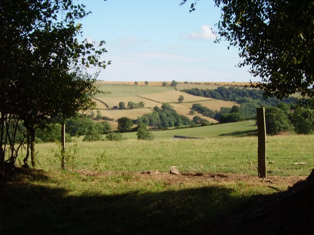
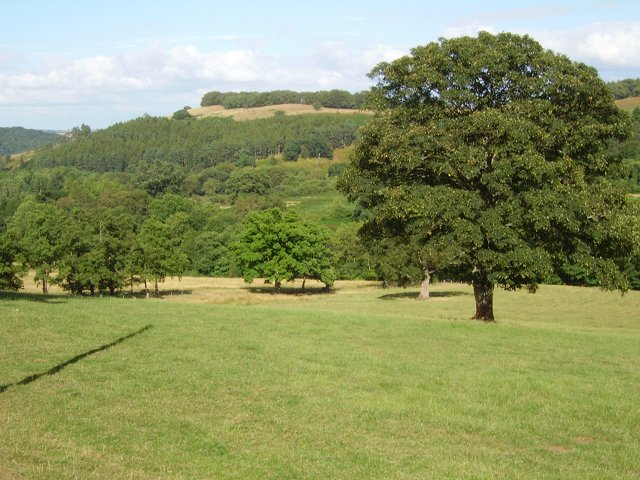
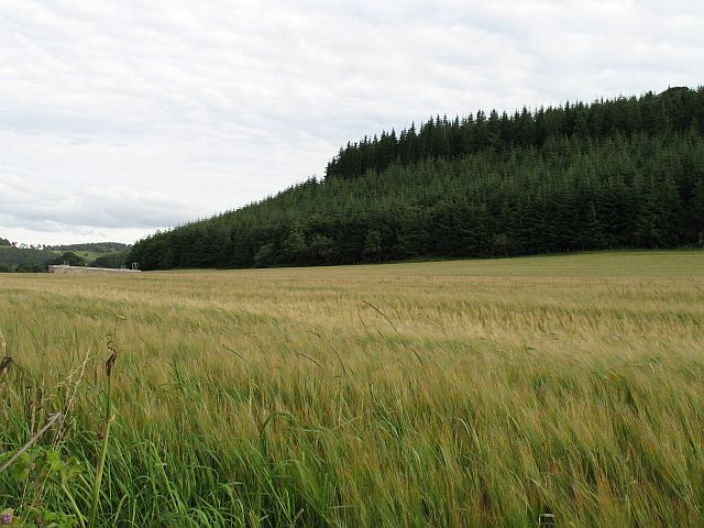
Park Bank Wood is a picturesque forest located in Radnorshire, Wales. Covering an area of approximately 50 acres, the wood is home to a diverse range of flora and fauna, making it a popular destination for nature enthusiasts and hikers.

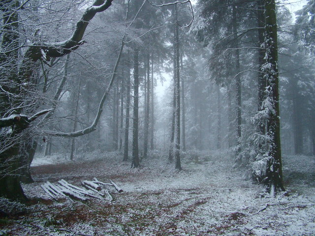
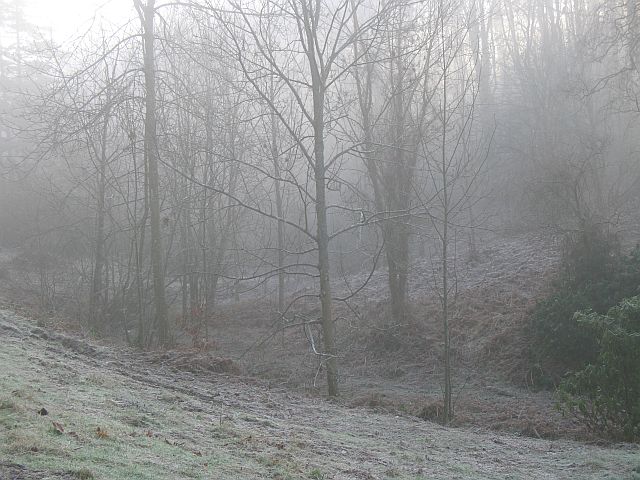
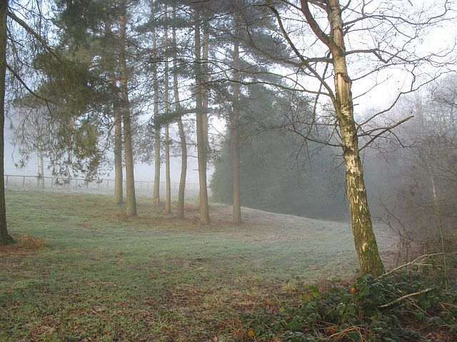
The forest is predominantly made up of oak, beech, and birch trees, which provide a dense canopy overhead, creating a tranquil and shady environment. The forest floor is carpeted with a variety of wildflowers, ferns, and mosses, adding to the beauty of the landscape.

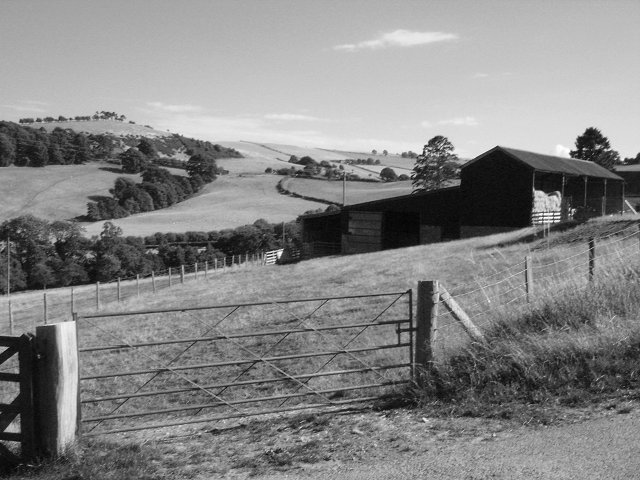
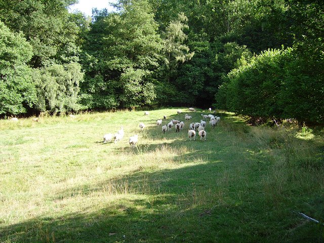
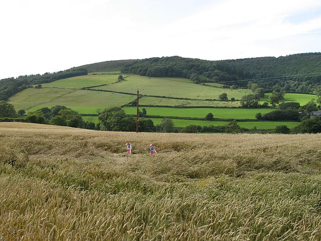
Park Bank Wood is crisscrossed with well-maintained walking trails, allowing visitors to explore the forest at their own pace. Along the way, hikers may encounter a variety of wildlife, including deer, squirrels, and a wide array of bird species.

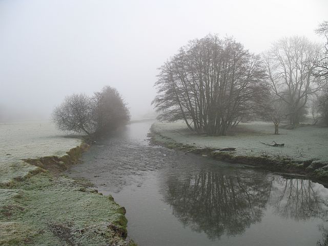
The wood also features a small stream that meanders through the trees, providing a peaceful backdrop to the sounds of nature. Picnic areas are scattered throughout the forest, offering visitors the opportunity to relax and enjoy a meal amidst the tranquil surroundings.

Overall, Park Bank Wood is a hidden gem in Radnorshire, offering a peaceful retreat for those looking to connect with nature.

If you have any feedback on the listing, please let us know in the comments section below.

Park Bank Wood Images

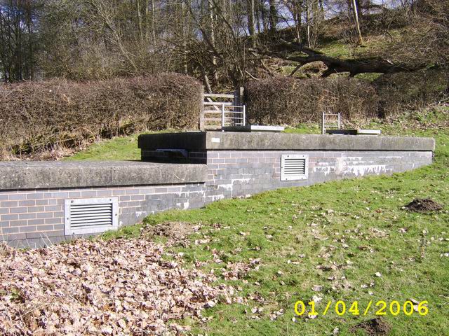
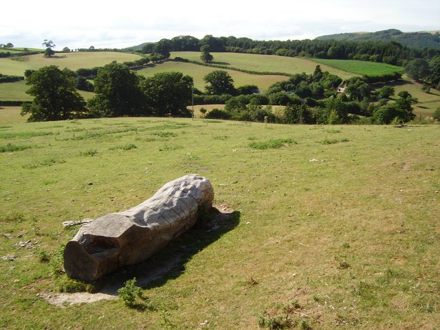
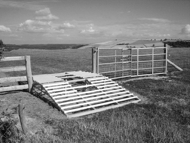
Images are sourced within 2km of 52.344208/-2.9845435 or Grid Reference SO3372. Thanks to Geograph Open Source API. All images are credited.

Access To Water Part of the Elan Valley Aqueduct that feeds drinking water from Foel Tower Elan Valley to Frankley Reservoir in Birmingham, for more information visit: <a title="https://www.geograph.org.uk/photo/907757" href="https://www.geograph.org.uk/photo/907757">Link</a>
Access To Water
Part of the Elan Valley Aqueduct that feeds drinking water from Foel Tower Elan Valley to Frankley Reservoir in Birmingham, for more information visit: Link
Pitts Field between Middle and Upper Pitts farms.
Pitts
Field between Middle and Upper Pitts farms.
ATV stile Stile crossed with a cattle grid. Sheep proof but accessible to a quad bike. Folly Farm near Knighton, Rads.
ATV stile
Stile crossed with a cattle grid. Sheep proof but accessible to a quad bike. Folly Farm near Knighton, Rads.
Through the gap View through a hedge into Herefordshire. From the hill road, high above Stanage, Radnorshire.
Through the gap
View through a hedge into Herefordshire. From the hill road, high above Stanage, Radnorshire.
Field on the edge of Stanage Park Grassland, near Black Venn
Field on the edge of Stanage Park
Grassland, near Black Venn
Green Farm Cross border (Wales-England) view towards Brampton Bryan Park.
Green Farm
Cross border (Wales-England) view towards Brampton Bryan Park.
Green Farm Farm on the Radnorshire - Herefordshire border.
Green Farm
Farm on the Radnorshire - Herefordshire border.
Wales - England border. Taken leaning on a gate on the border, looking at a Herefordshire field.
Wales - England border.
Taken leaning on a gate on the border, looking at a Herefordshire field.
Stanage Park woodland Woodland along Stonewall Hill, North of Hill House Farm entrance
Stanage Park woodland
Woodland along Stonewall Hill, North of Hill House Farm entrance
Under Park Bank Barley under Park Bank Wood. The brick structure is an access to the Elan Valley Aqueduct.
Under Park Bank
Barley under Park Bank Wood. The brick structure is an access to the Elan Valley Aqueduct.
Teme Valley wheat Wheat and scarecrows, Lower Stanage, Rads.
Teme Valley wheat
Wheat and scarecrows, Lower Stanage, Rads.
Shrewsbury to Swansea railway near Bucknell Taken from the minor road on the Shropshire side of the Teme, the railway here was once double track. The railway is an amazing survivor, not only of Beeching, but of repeated attempts to close it during the 1980's and since.
Shrewsbury to Swansea railway near Bucknell
Taken from the minor road on the Shropshire side of the Teme, the railway here was once double track. The railway is an amazing survivor, not only of Beeching, but of repeated attempts to close it during the 1980's and since.
Bucknell to Stowe Road Lane on the Shropshire side of the Teme. Very narrow with few passing places. If on a bike, this is preferable to the fast A road on the Radnorshire side.
Bucknell to Stowe Road
Lane on the Shropshire side of the Teme. Very narrow with few passing places. If on a bike, this is preferable to the fast A road on the Radnorshire side.
Shrewsbury to Swansea railway near Stowe The railway runs beside the Teme, just visible.
Shrewsbury to Swansea railway near Stowe
The railway runs beside the Teme, just visible.
River Teme The Teme from the Shropshire side of Stowe Bridge.
River Teme
The Teme from the Shropshire side of Stowe Bridge.
Woodland, Stanage Park Stanage Park is mostly woodland, with large clearings. Pegs were out for pheasant shooting.
Woodland, Stanage Park
Stanage Park is mostly woodland, with large clearings. Pegs were out for pheasant shooting.
Stanage Park Woodland beside the road up to Stanage.
Stanage Park
Woodland beside the road up to Stanage.
Shrewsbury to Swansea railway near Bucknell Looking towards Bucknell, with a plate layers hut at the start of a cutting.
Shrewsbury to Swansea railway near Bucknell
Looking towards Bucknell, with a plate layers hut at the start of a cutting.
Show me another place!

Park Bank Wood is located at Grid Ref: SO3372 (Lat: 52.344208, Lng: -2.9845435)

Unitary Authority: Powys

Police Authority: Dyfed Powys

What 3 Words

///curiosity.replayed.natural. Near Bucknell, Shropshire

Related Wikis

Heartsease, Knighton

Heartsease is a small settlement or hamlet in Powys, Wales. It is close to the border with England and lies near the junction of the two counties of Herefordshire...

Stanage Park

Stanage Park is a Grade II* listed Welsh country house set in a large park located some 3 miles (4.8 km) east of Knighton, Powys near the settlement of...

Milebrook

Milebrook is a hamlet in Powys, Wales. == Location == Milebrook is located on a crossroads of the A4113 road almost alongside the Afon Tefeidiad that,...

Stowe, Shropshire

Stowe or Stow is a small village and civil parish in south Shropshire, England. The parish has a border with Wales and the Welsh town of Knighton is less...

Nearby Amenities

Located within 500m of 52.344208,-2.9845435
Park Bank
Natural: peak
Lat/Long: 52.3440679/-2.9847771
The data included in this document is from www.openstreetmap.org. The data is made available under ODbL.

Have you been to Park Bank Wood?

Leave your review of Park Bank Wood below (or comments, questions and feedback).