Beeches Wood
Wood, Forest in Flintshire
Wales
Beeches Wood
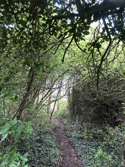
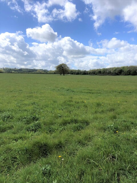
Beeches Wood is a stunning forest located in the county of Flintshire, Wales. Spanning over a vast area, it is known for its diverse range of flora and fauna, making it a popular destination for nature enthusiasts and hikers alike.
One of the notable features of Beeches Wood is its abundance of beech trees, which give the forest its name. These majestic trees, with their smooth, silver-gray bark and vibrant green foliage, create a captivating atmosphere as they tower over the woodland floor. In addition to the beeches, the forest is also home to a variety of other tree species, including oak, ash, and birch, adding to its rich biodiversity.
The forest floor of Beeches Wood is adorned with a colorful carpet of wildflowers, creating a picturesque scene during the spring and summer months. Bluebells, primroses, and violets are just a few of the species that bloom in abundance, attracting a myriad of insects and small mammals.
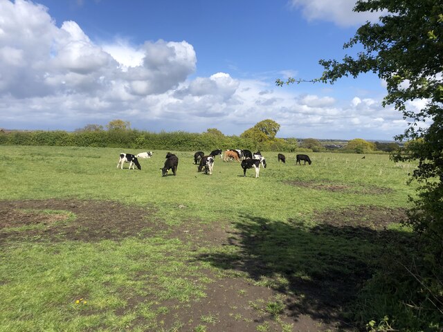
The wildlife in Beeches Wood is diverse and thriving. Visitors may spot a range of bird species, including woodpeckers, robins, and jays, while lucky observers may even catch a glimpse of a red squirrel or a roe deer. The tranquil environment of the forest provides a sanctuary for these animals, allowing them to thrive in their natural habitat.
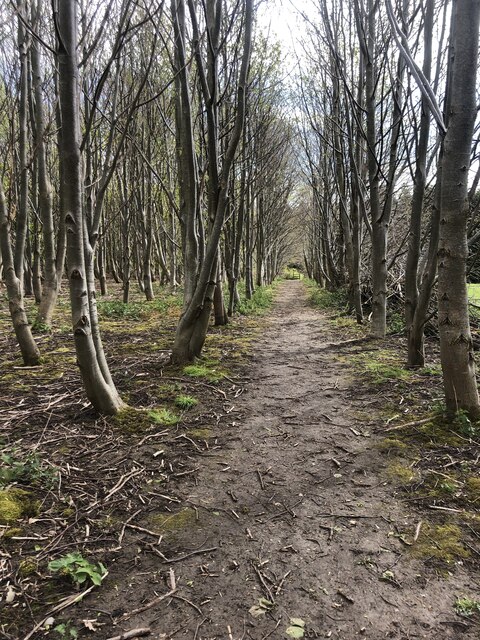
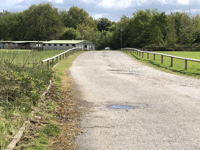
Beeches Wood is also a popular recreational spot, with a network of well-maintained trails for walkers and hikers. These paths wind through the forest, offering stunning views and a chance to immerse oneself in the beauty of nature.
Overall, Beeches Wood in Flintshire is a captivating forest that offers a sanctuary for a wide array of plant and animal species. Its natural beauty and peaceful atmosphere make it an ideal destination for those seeking a tranquil escape in nature.
If you have any feedback on the listing, please let us know in the comments section below.
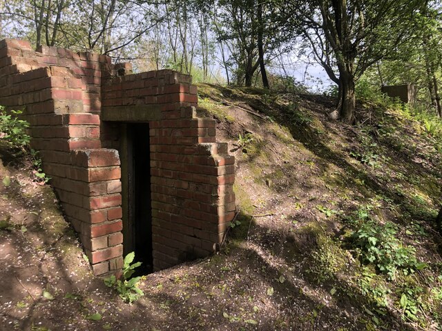
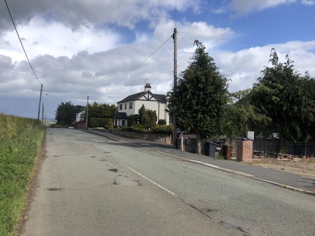
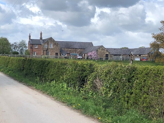
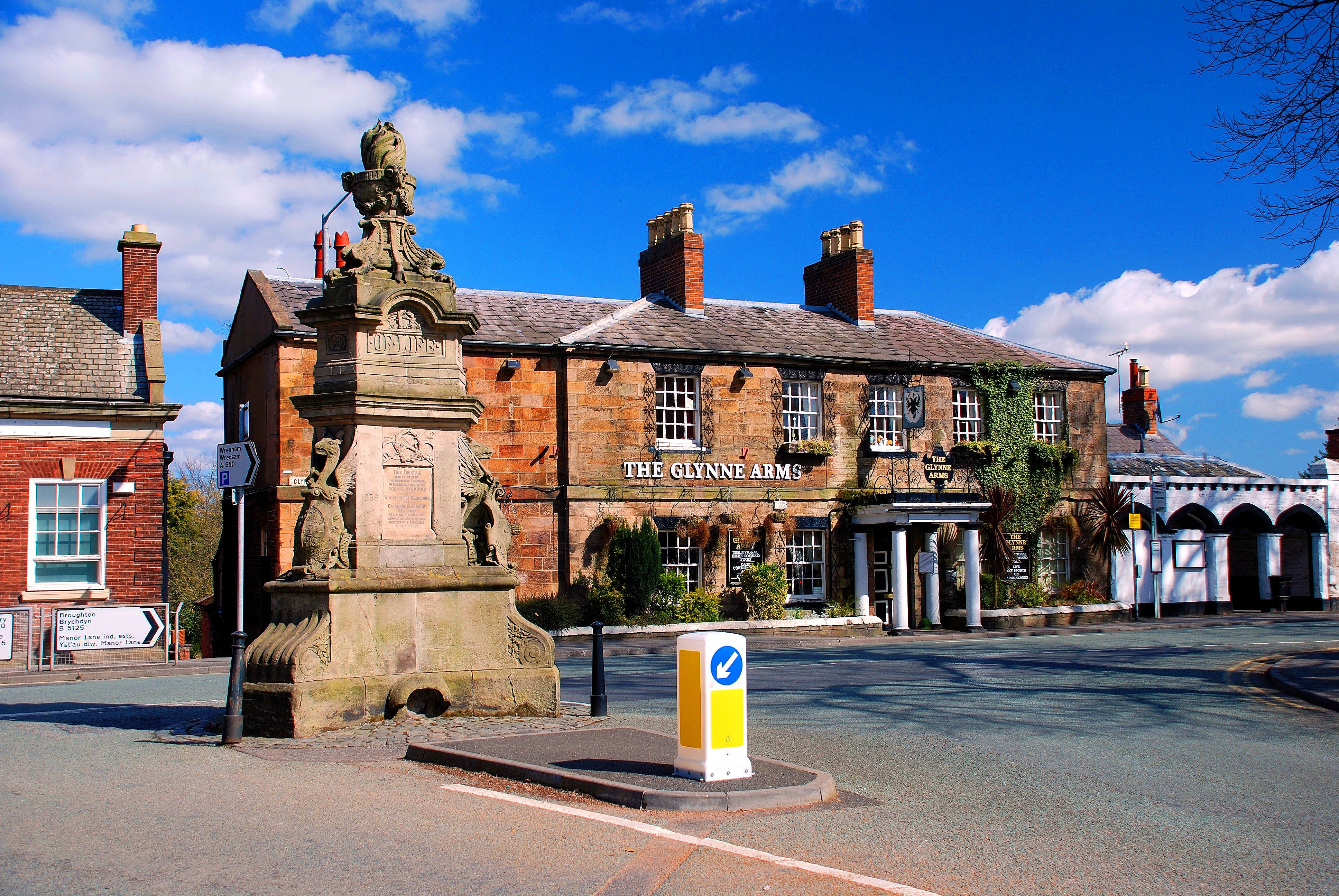
Beeches Wood Images
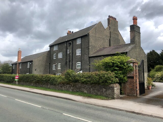
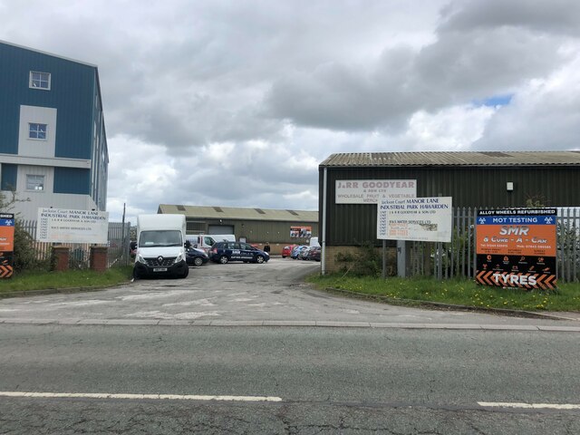
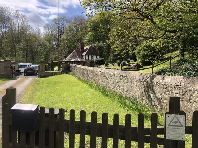
Images are sourced within 2km of 53.176018/-3.0141265 or Grid Reference SJ3264. Thanks to Geograph Open Source API. All images are credited.


Beeches Wood is located at Grid Ref: SJ3264 (Lat: 53.176018, Lng: -3.0141265)
Unitary Authority: Flintshire
Police Authority: North Wales
What 3 Words
///mixture.moats.topics. Near Hawarden, Flintshire
Nearby Locations
Related Wikis

Hawarden Castle (medieval)
Hawarden Old Castle (Welsh: Castell Penarlâg) is a Grade I listed medieval castle near Hawarden, Flintshire, Wales. The castle's origins are indeterminate...
Hawarden
Hawarden ( ; Welsh: Penarlâg) is a village and community in Flintshire, Wales. It is part of the Deeside conurbation on the Wales-England border and is...
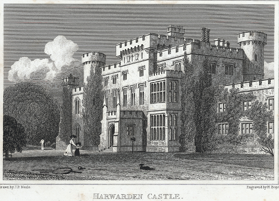
Hawarden Castle (18th century)
(New) Hawarden Castle (Welsh: Castell Penarlâg (Newydd)) is a house in Hawarden, Flintshire, Wales. It was the estate of the former British prime minister...
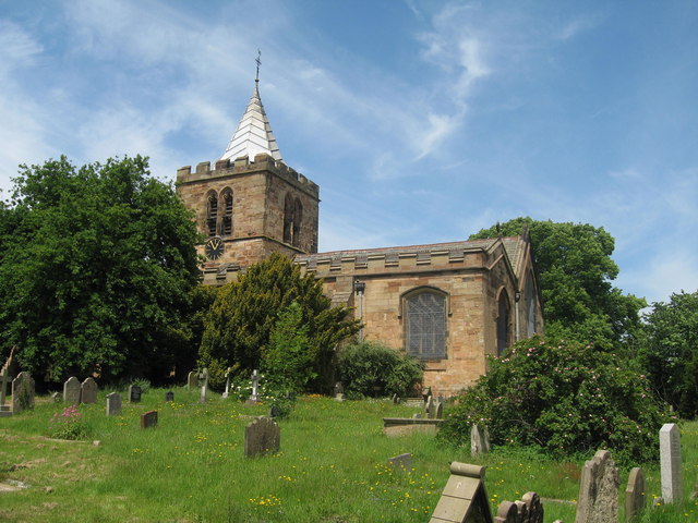
St Deiniol's Church, Hawarden
St Deiniol's Church, Hawarden, is in the village of Hawarden, Flintshire, Wales. It is the parish church of the rectorial benefice of Hawarden in the deanery...
Nearby Amenities
Located within 500m of 53.176018,-3.0141265Have you been to Beeches Wood?
Leave your review of Beeches Wood below (or comments, questions and feedback).