Fir Wood

Wood, Forest in Flintshire

Wales

Fir Wood

Manor Lane Industrial Park
Manor Lane Industrial Park Credit: Eirian Evans

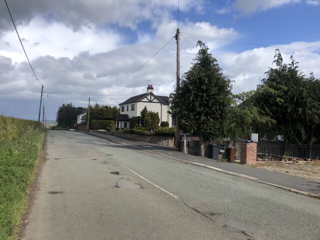
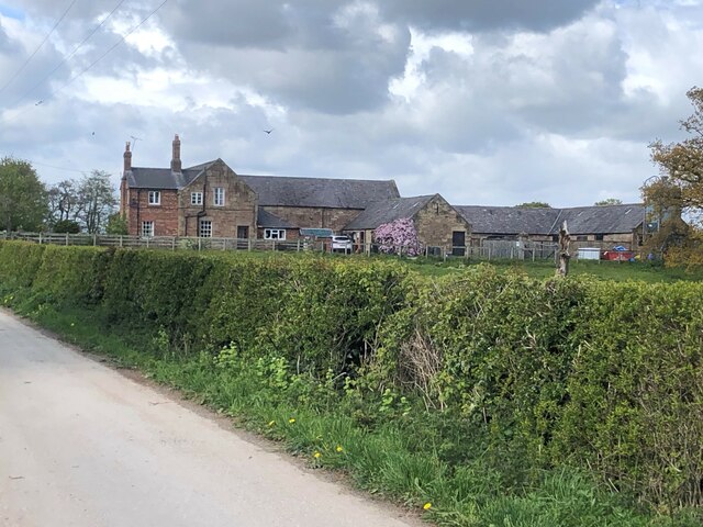
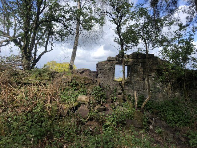
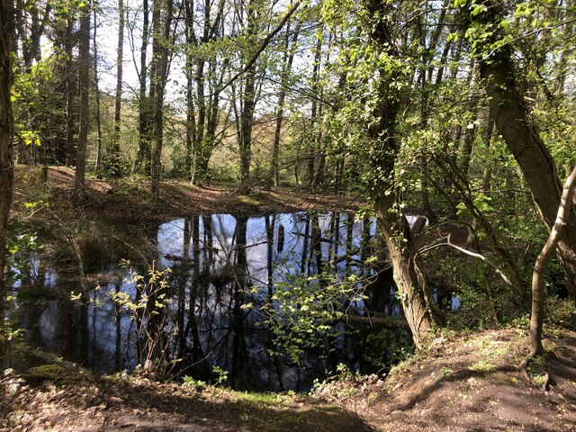
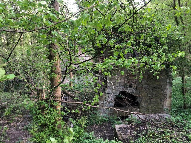
Fir Wood in Flintshire, located in North Wales, is a dense forest dominated by fir trees. The wood covers a large area and is a popular destination for hikers, nature enthusiasts, and bird watchers. The forest is home to a variety of wildlife, including deer, squirrels, and a wide range of bird species.

The trees in Fir Wood are primarily firs, but there are also other species of trees such as oak, beech, and birch. The forest floor is covered in a blanket of moss and ferns, creating a lush and green environment.

Visitors to Fir Wood can enjoy a network of well-maintained hiking trails that wind through the forest, offering opportunities to explore the natural beauty of the area. The peaceful atmosphere of the wood makes it a perfect place for a relaxing stroll or a quiet picnic.

Overall, Fir Wood in Flintshire is a tranquil and picturesque forest that provides a peaceful escape from the hustle and bustle of everyday life. It is a place where visitors can connect with nature and enjoy the beauty of the great outdoors.

If you have any feedback on the listing, please let us know in the comments section below.
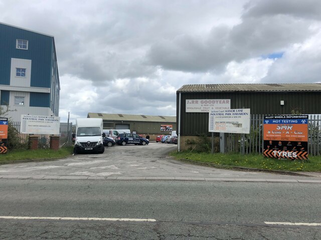
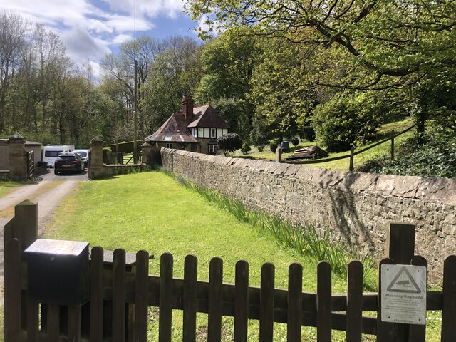
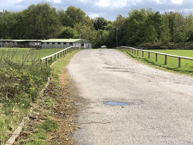
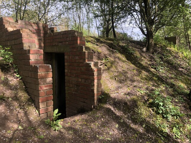
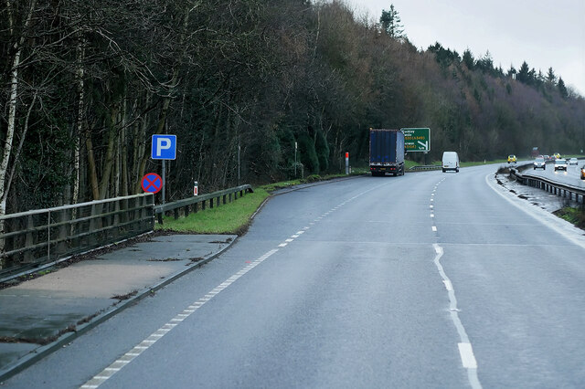
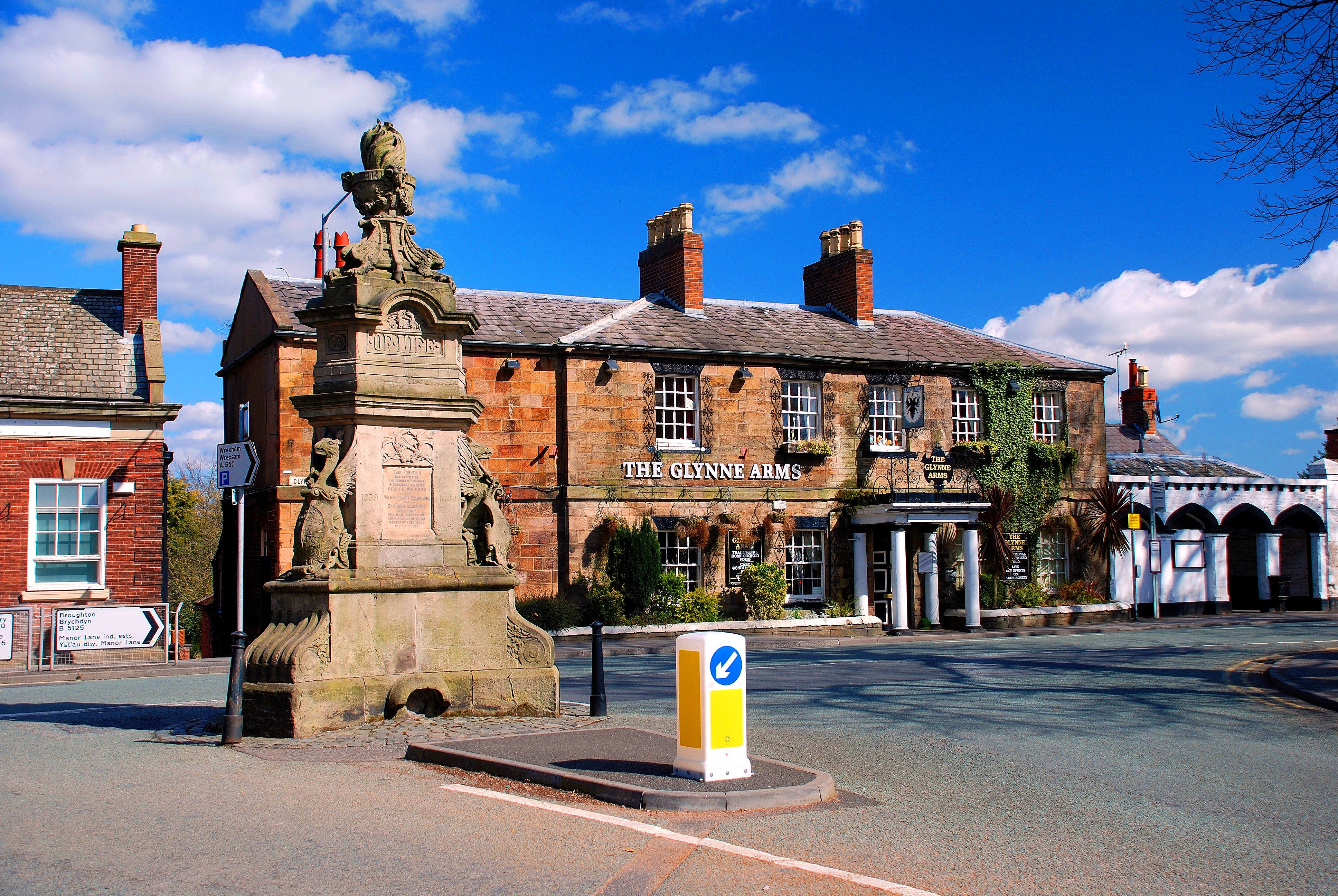
Fir Wood Images

Images are sourced within 2km of 53.166789/-3.0137892 or Grid Reference SJ3263. Thanks to Geograph Open Source API. All images are credited.

Manor Lane Industrial Park
Broughton Lodge Lodge to the Gladstone Estate near Broughton
Broughton Lodge
Lodge to the Gladstone Estate near Broughton
The Gladstone Centre Scout training camp
The Gladstone Centre
Scout training camp
Bunker in the woods Built into an embankment. I have found no mention of it anywhere
Bunker in the woods
Built into an embankment. I have found no mention of it anywhere
Park Farm, Broughton
Dilapidated house at Park Farm
House on Old Warren, Broughton
Cherry Orchard House On Cherry Orchard Road. a private road in Hawarden Park
Cherry Orchard House
On Cherry Orchard Road. a private road in Hawarden Park
Farm in the Hawarden Estate On Cherry Orchard Road
Farm in the Hawarden Estate
On Cherry Orchard Road
Path through Bilberry Wood Plenty of trails through this mature woodland in Hawarden
Path through Bilberry Wood
Plenty of trails through this mature woodland in Hawarden
The ruins of a building in the walls surrounding Hawarden Park
Pool in Bilberry Wood
Old Corn Mill, Hawarden Park
Airbus Beluga #3 approaching Hawarden Airport The Airbus Beluga #3 transporter plane approaching Hawarden Airport, viewed from the Broughton Shopping Centre.
Airbus Beluga #3 approaching Hawarden Airport
The Airbus Beluga #3 transporter plane approaching Hawarden Airport, viewed from the Broughton Shopping Centre.
North Wales Expressway towards Junction 36 at Broughton The A55, also known as the North Wales Expressway (Gwibffordd Gogledd Cymru), is the major road in North Wales running for 88 miles between Chester and Holyhead via Conwy and Bangor. 

The A55 is a very high quality road, much of it rebuilt since the 1970s in response to traffic problems in Colwyn Bay, Colwyn and Llandudno caused by traffic having to pass through town centres on totally unsuitable streets, (especially in Conwy where lorries often scraped their paintwork as they passed through 12th century arches in the town's walls), leading to the construction of an east-west expressway bypassing the urban centres. It is a dual carriageway primary route for its entire length with the exception of the point where it crosses the Britannia Bridge over the Menai Strait. All of its junctions are grade separated except for two roundabouts; one east of Penmaenmawr and one in Llanfairfechan. The road originally ran from Chester to Bangor but was extended parallel to the A5 across Anglesey right into Holyhead Docks in 2001.

<span class="nowrap"><a title="http://www.sabre-roads.org.uk/wiki/index.php?title=A55" rel="nofollow ugc noopener" href="http://www.sabre-roads.org.uk/wiki/index.php?title=A55">Link</a><img style="margin-left:2px;" alt="External link" title="External link - shift click to open in new window" src="https://s1.geograph.org.uk/img/external.png" width="10" height="10"/></span>  SABRE
North Wales Expressway towards Junction 36 at Broughton
The A55, also known as the North Wales Expressway (Gwibffordd Gogledd Cymru), is the major road in North Wales running for 88 miles between Chester and Holyhead via Conwy and Bangor. The A55 is a very high quality road, much of it rebuilt since the 1970s in response to traffic problems in Colwyn Bay, Colwyn and Llandudno caused by traffic having to pass through town centres on totally unsuitable streets, (especially in Conwy where lorries often scraped their paintwork as they passed through 12th century arches in the town's walls), leading to the construction of an east-west expressway bypassing the urban centres. It is a dual carriageway primary route for its entire length with the exception of the point where it crosses the Britannia Bridge over the Menai Strait. All of its junctions are grade separated except for two roundabouts; one east of Penmaenmawr and one in Llanfairfechan. The road originally ran from Chester to Bangor but was extended parallel to the A5 across Anglesey right into Holyhead Docks in 2001. LinkExternal link SABRE
North Wales Expressway (A55)  at Junction 36 The A55, also known as the North Wales Expressway (Gwibffordd Gogledd Cymru), is the major road in North Wales running for 88 miles between Chester and Holyhead via Conwy and Bangor. 

The A55 is a very high quality road, much of it rebuilt since the 1970s in response to traffic problems in Colwyn Bay, Colwyn and Llandudno caused by traffic having to pass through town centres on totally unsuitable streets, (especially in Conwy where lorries often scraped their paintwork as they passed through 12th century arches in the town's walls), leading to the construction of an east-west expressway bypassing the urban centres. It is a dual carriageway primary route for its entire length with the exception of the point where it crosses the Britannia Bridge over the Menai Strait. All of its junctions are grade separated except for two roundabouts; one east of Penmaenmawr and one in Llanfairfechan. The road originally ran from Chester to Bangor but was extended parallel to the A5 across Anglesey right into Holyhead Docks in 2001.

<span class="nowrap"><a title="http://www.sabre-roads.org.uk/wiki/index.php?title=A55" rel="nofollow ugc noopener" href="http://www.sabre-roads.org.uk/wiki/index.php?title=A55">Link</a><img style="margin-left:2px;" alt="External link" title="External link - shift click to open in new window" src="https://s1.geograph.org.uk/img/external.png" width="10" height="10"/></span>  SABRE
North Wales Expressway (A55) at Junction 36
The A55, also known as the North Wales Expressway (Gwibffordd Gogledd Cymru), is the major road in North Wales running for 88 miles between Chester and Holyhead via Conwy and Bangor. The A55 is a very high quality road, much of it rebuilt since the 1970s in response to traffic problems in Colwyn Bay, Colwyn and Llandudno caused by traffic having to pass through town centres on totally unsuitable streets, (especially in Conwy where lorries often scraped their paintwork as they passed through 12th century arches in the town's walls), leading to the construction of an east-west expressway bypassing the urban centres. It is a dual carriageway primary route for its entire length with the exception of the point where it crosses the Britannia Bridge over the Menai Strait. All of its junctions are grade separated except for two roundabouts; one east of Penmaenmawr and one in Llanfairfechan. The road originally ran from Chester to Bangor but was extended parallel to the A5 across Anglesey right into Holyhead Docks in 2001. LinkExternal link SABRE
North Wales Expressway (A55), Bridge at Junction 36 The A55, also known as the North Wales Expressway (Gwibffordd Gogledd Cymru), is the major road in North Wales running for 88 miles between Chester and Holyhead via Conwy and Bangor. 

The A55 is a very high quality road, much of it rebuilt since the 1970s in response to traffic problems in Colwyn Bay, Colwyn and Llandudno caused by traffic having to pass through town centres on totally unsuitable streets, (especially in Conwy where lorries often scraped their paintwork as they passed through 12th century arches in the town's walls), leading to the construction of an east-west expressway bypassing the urban centres. It is a dual carriageway primary route for its entire length with the exception of the point where it crosses the Britannia Bridge over the Menai Strait. All of its junctions are grade separated except for two roundabouts; one east of Penmaenmawr and one in Llanfairfechan. The road originally ran from Chester to Bangor but was extended parallel to the A5 across Anglesey right into Holyhead Docks in 2001.

<span class="nowrap"><a title="http://www.sabre-roads.org.uk/wiki/index.php?title=A55" rel="nofollow ugc noopener" href="http://www.sabre-roads.org.uk/wiki/index.php?title=A55">Link</a><img style="margin-left:2px;" alt="External link" title="External link - shift click to open in new window" src="https://s1.geograph.org.uk/img/external.png" width="10" height="10"/></span>  SABRE
North Wales Expressway (A55), Bridge at Junction 36
The A55, also known as the North Wales Expressway (Gwibffordd Gogledd Cymru), is the major road in North Wales running for 88 miles between Chester and Holyhead via Conwy and Bangor. The A55 is a very high quality road, much of it rebuilt since the 1970s in response to traffic problems in Colwyn Bay, Colwyn and Llandudno caused by traffic having to pass through town centres on totally unsuitable streets, (especially in Conwy where lorries often scraped their paintwork as they passed through 12th century arches in the town's walls), leading to the construction of an east-west expressway bypassing the urban centres. It is a dual carriageway primary route for its entire length with the exception of the point where it crosses the Britannia Bridge over the Menai Strait. All of its junctions are grade separated except for two roundabouts; one east of Penmaenmawr and one in Llanfairfechan. The road originally ran from Chester to Bangor but was extended parallel to the A5 across Anglesey right into Holyhead Docks in 2001. LinkExternal link SABRE
Layby on the North Wales Expressway (A55) The A55, also known as the North Wales Expressway (Gwibffordd Gogledd Cymru), is the major road in North Wales running for 88 miles between Chester and Holyhead via Conwy and Bangor. 

The A55 is a very high quality road, much of it rebuilt since the 1970s in response to traffic problems in Colwyn Bay, Colwyn and Llandudno caused by traffic having to pass through town centres on totally unsuitable streets, (especially in Conwy where lorries often scraped their paintwork as they passed through 12th century arches in the town's walls), leading to the construction of an east-west expressway bypassing the urban centres. It is a dual carriageway primary route for its entire length with the exception of the point where it crosses the Britannia Bridge over the Menai Strait. All of its junctions are grade separated except for two roundabouts; one east of Penmaenmawr and one in Llanfairfechan. The road originally ran from Chester to Bangor but was extended parallel to the A5 across Anglesey right into Holyhead Docks in 2001.

<span class="nowrap"><a title="http://www.sabre-roads.org.uk/wiki/index.php?title=A55" rel="nofollow ugc noopener" href="http://www.sabre-roads.org.uk/wiki/index.php?title=A55">Link</a><img style="margin-left:2px;" alt="External link" title="External link - shift click to open in new window" src="https://s1.geograph.org.uk/img/external.png" width="10" height="10"/></span>  SABRE
Layby on the North Wales Expressway (A55)
The A55, also known as the North Wales Expressway (Gwibffordd Gogledd Cymru), is the major road in North Wales running for 88 miles between Chester and Holyhead via Conwy and Bangor. The A55 is a very high quality road, much of it rebuilt since the 1970s in response to traffic problems in Colwyn Bay, Colwyn and Llandudno caused by traffic having to pass through town centres on totally unsuitable streets, (especially in Conwy where lorries often scraped their paintwork as they passed through 12th century arches in the town's walls), leading to the construction of an east-west expressway bypassing the urban centres. It is a dual carriageway primary route for its entire length with the exception of the point where it crosses the Britannia Bridge over the Menai Strait. All of its junctions are grade separated except for two roundabouts; one east of Penmaenmawr and one in Llanfairfechan. The road originally ran from Chester to Bangor but was extended parallel to the A5 across Anglesey right into Holyhead Docks in 2001. LinkExternal link SABRE
Show me another place!

Fir Wood is located at Grid Ref: SJ3263 (Lat: 53.166789, Lng: -3.0137892)

Unitary Authority: Flintshire

Police Authority: North Wales

What 3 Words

///scaffold.listen.tango. Near Broughton, Flintshire

Related Wikis

Broughton Hall, Flintshire

Broughton Hall was a large country house that was located in Broughton, Flintshire, Wales. It was demolished in the early 1970s and houses now exist on...

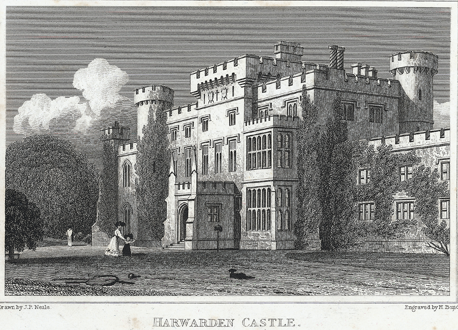
Hawarden Castle (medieval)

Hawarden Old Castle (Welsh: Castell Penarlâg) is a Grade I listed medieval castle near Hawarden, Flintshire, Wales. The castle's origins are indeterminate...

Hawarden

Hawarden ( ; Welsh: Penarlâg) is a village and community in Flintshire, Wales. It is part of the Deeside conurbation on the Wales-England border and is...

Hawarden Castle (18th century)

(New) Hawarden Castle (Welsh: Castell Penarlâg (Newydd)) is a house in Hawarden, Flintshire, Wales. It was the estate of the former British prime minister...

Nearby Amenities

Located within 500m of 53.166789,-3.0137892
Old Warren
Created By: Potlatch 0.10f
Place: hamlet
Lat/Long: 53.1639739/-3.010782
Restaurant
Lat/Long: 53.1641818/-3.0187699
Direction: 185
Generator Method: photovoltaic
Generator Output Electricity: yes
Generator Solar Modules: 6
Generator Source: solar
Generator Type: solar_photovoltaic_panel
Location: roof
Power: generator
Lat/Long: 53.1637002/-3.0141351
Direction: 185
Generator Method: photovoltaic
Generator Output Electricity: yes
Generator Solar Modules: 10
Generator Source: solar
Generator Type: solar_photovoltaic_panel
Location: roof
Power: generator
Lat/Long: 53.1636696/-3.0139419
The data included in this document is from www.openstreetmap.org. The data is made available under ODbL.

Have you been to Fir Wood?

Leave your review of Fir Wood below (or comments, questions and feedback).