Hall Wood

Wood, Forest in Denbighshire

Wales

Hall Wood

Railway crossing the A483 near Wrexham
Railway crossing the A483 near Wrexham Credit: Roy Hughes

Hall Wood is a beautiful forest located in Denbighshire, Wales. Covering an area of approximately 50 acres, the wood is home to a diverse range of flora and fauna, making it a popular destination for nature lovers and hikers.

The woodland is predominantly made up of broadleaf trees such as oak, beech, and birch, creating a lush and vibrant environment throughout the year. Visitors can expect to see a variety of wildlife, including birds, squirrels, and deer, as they explore the winding paths and trails that crisscross the wood.

Hall Wood is also known for its tranquil atmosphere and stunning views, making it a peaceful retreat for those looking to escape the hustle and bustle of everyday life. The wood is well-maintained, with clear signposts and picnic areas available for visitors to enjoy.

Overall, Hall Wood is a hidden gem in Denbighshire, offering a perfect blend of natural beauty and tranquility for all who visit. Whether you are a keen hiker, a wildlife enthusiast, or simply looking for a peaceful spot to relax, Hall Wood is sure to captivate and inspire.

If you have any feedback on the listing, please let us know in the comments section below.

Hall Wood Images

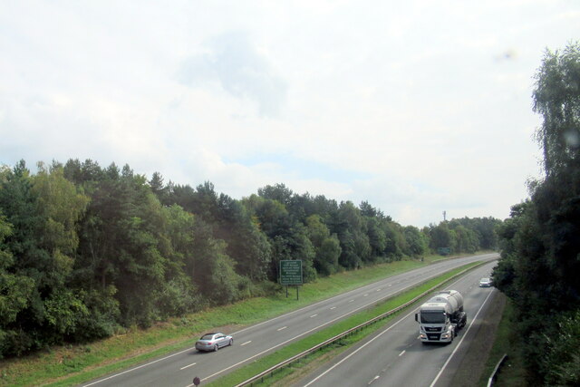
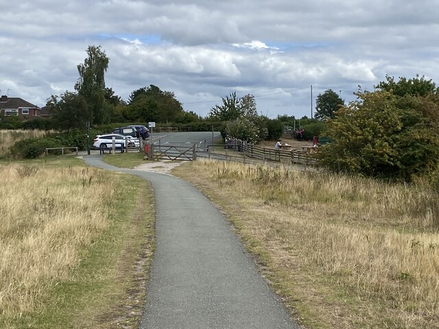
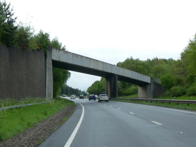
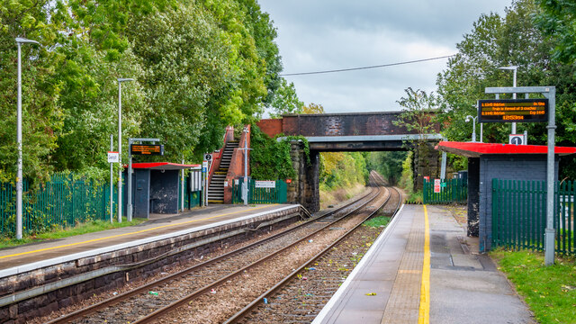
Images are sourced within 2km of 53.084191/-3.0121304 or Grid Reference SJ3254. Thanks to Geograph Open Source API. All images are credited.

Railway crossing the A483 near Wrexham
Gresford memorial A truly moving memorial to the 266 men killed by underground explosions in Gresford colliery in 1934. So dangerous was the situation, the pit had to be capped, and only eleven bodies were brought out. The rest were entombed where they died.
Gresford memorial
A truly moving memorial to the 266 men killed by underground explosions in Gresford colliery in 1934. So dangerous was the situation, the pit had to be capped, and only eleven bodies were brought out. The rest were entombed where they died.
Pay and Display At Alyn Waters Country Park.
Pay and Display
At Alyn Waters Country Park.
Woodland path In Alyn Waters Country Park.
Woodland path
In Alyn Waters Country Park.
Path to exit At Alyn Waters Country Park.
Path to exit
At Alyn Waters Country Park.
Benchmark on Cefn-y-Bedd railway bridge, Wrexham Road Ordnance Survey benchmark on the northwest corner of the railway bridge over Wrexham Road, Cefn-y-Bedd. Levelled at 82.601m above Newlyn Datum, verified 1959. For wider views see: <a href="https://www.geograph.org.uk/photo/7523770">SJ3156 : Low Bridge over Wrexham Road, Cefn-y-Bedd</a> and <a href="https://www.geograph.org.uk/photo/7523783">SJ3156 : Low Bridge over Wrexham Road, Cefn-y-Bedd</a>

Benchmark database: <span class="nowrap"><a title="https://www.bench-marks.org.uk/bm195726" rel="nofollow ugc noopener" href="https://www.bench-marks.org.uk/bm195726">Link</a><img style="margin-left:2px;" alt="External link" title="External link - shift click to open in new window" src="https://s1.geograph.org.uk/img/external.png" width="10" height="10"/></span>
Benchmark on Cefn-y-Bedd railway bridge, Wrexham Road
Ordnance Survey benchmark on the northwest corner of the railway bridge over Wrexham Road, Cefn-y-Bedd. Levelled at 82.601m above Newlyn Datum, verified 1959. For wider views see: SJ3156 : Low Bridge over Wrexham Road, Cefn-y-Bedd and SJ3156 : Low Bridge over Wrexham Road, Cefn-y-Bedd Benchmark database: LinkExternal link
Low Bridge over Wrexham Road, Cefn-y-Bedd Despite the warning signs Cefn-y-Bedd railway bridge is often hit with oversize lorries or loads. There is an Ordnance Survey benchmark on the left hand corner of the bridge <a href="https://www.geograph.org.uk/photo/7523731">SJ3156 : Benchmark on Cefn-y-Bedd railway bridge, Wrexham Road</a>
Low Bridge over Wrexham Road, Cefn-y-Bedd
Despite the warning signs Cefn-y-Bedd railway bridge is often hit with oversize lorries or loads. There is an Ordnance Survey benchmark on the left hand corner of the bridge SJ3156 : Benchmark on Cefn-y-Bedd railway bridge, Wrexham Road
Gresford Road bridge over A483
Railway bridge over A483 west of Gresford
Gwersyllt Station on the Borderlands Line
Visitors centre at Alyn Waters Country Park, Wrecsam This country park between the Mold Road (A541) and the Afon Alun, and incorporates several areas of reclaimed industrial sites.
Visitors centre at Alyn Waters Country Park, Wrecsam
This country park between the Mold Road (A541) and the Afon Alun, and incorporates several areas of reclaimed industrial sites.
Gresford Memorial This pithead wheel memorial at Pandy was unveiled by HRH the Prince of Wales in 1982. It commemorates the 266 miners killed in the disaster at Gresford Colliery in 1934.
Gresford Memorial
This pithead wheel memorial at Pandy was unveiled by HRH the Prince of Wales in 1982. It commemorates the 266 miners killed in the disaster at Gresford Colliery in 1934.
Gwersyllt Station The station is on the Wrecsam to Birkenhead line.
<span class="nowrap"><a title="http://www.arrivatrainswales.co.uk/en/travel/station_detail.php?subnavID=75&categoryID=336" rel="nofollow ugc noopener" href="http://www.arrivatrainswales.co.uk/en/travel/station_detail.php?subnavID=75&categoryID=336">Link</a><img style="margin-left:2px;" alt="External link" title="External link - shift click to open in new window" src="https://s1.geograph.org.uk/img/external.png" width="10" height="10"/></span>
Gwersyllt Station
The station is on the Wrecsam to Birkenhead line. LinkExternal link
Small industrial estate at Pandy A small site situated beside the Chester to Shrewsbury railway line.
Small industrial estate at Pandy
A small site situated beside the Chester to Shrewsbury railway line.
Gwersyllt Hall Farm A farm on the valley side of the River Alyn northwest of Wrexham. The footpath down into the valley goes past the green gates.
Gwersyllt Hall Farm
A farm on the valley side of the River Alyn northwest of Wrexham. The footpath down into the valley goes past the green gates.
Footpath into Worms Wood This wood in the Alyn valley is leased by Wrexham Borough from McAlpines, and this footpath doesn't appear as a right of way on the OS map.
Footpath into Worms Wood
This wood in the Alyn valley is leased by Wrexham Borough from McAlpines, and this footpath doesn't appear as a right of way on the OS map.
Afon Alun The River Alyn in Alyn Waters Country Park / Parc Gwledig Dyfroedd Alun, close to Bradley Mill Bridge.
Afon Alun
The River Alyn in Alyn Waters Country Park / Parc Gwledig Dyfroedd Alun, close to Bradley Mill Bridge.
Show me another place!

Hall Wood is located at Grid Ref: SJ3254 (Lat: 53.084191, Lng: -3.0121304)

Unitary Authority: Wrexham

Police Authority: North Wales

What 3 Words

///ooze.dose.boss. Near Gresford, Wrexham

Related Wikis

Alyn Waters

Alyn Waters (Welsh: Dyfroedd Alun) is a country park situated between Gwersyllt and Llay in Wrexham County Borough, in the north-east of Wales, and is...

Bradley, Wrexham

Bradley (Welsh: Bradle) is a village in Wrexham County Borough, Wales. Situated in the community of Gwersyllt, it is bounded by Alyn Waters Country Park...

Gwersyllt

Gwersyllt (pronounced [ɡwɛrsɪɬt]) is an urban village and community in Wrexham County Borough, Wales. The densely populated village is one of Wrexham's...

Capital North West & Wales

Capital North West and Wales is a regional radio station owned and operated by Global as part of the Capital network. It broadcasts to Cheshire, the Wirral...

Nearby Amenities

Located within 500m of 53.084191,-3.0121304
Barrier: bollard
Bicycle: yes
Foot: yes
Lat/Long: 53.0800386/-3.0148464
Crossing
Crossing: marked
Lat/Long: 53.0848826/-3.0189572
Tourism: picnic_site
Lat/Long: 53.0851823/-3.0169762
Grit Bin
Lat/Long: 53.0805478/-3.0089873
Addr Housename: Mill House
Addr Street: Gardd Eirlys
Lat/Long: 53.0818175/-3.007616
Artwork Type: sculpture
Tourism: artwork
Lat/Long: 53.0855746/-3.006131
Bench
Backrest: no
Lat/Long: 53.0855327/-3.0062659
Waste Basket
Lat/Long: 53.0856121/-3.0060107
The data included in this document is from www.openstreetmap.org. The data is made available under ODbL.

Have you been to Hall Wood?

Leave your review of Hall Wood below (or comments, questions and feedback).