Pettingale Wood
Wood, Forest in Monmouthshire
Wales
Pettingale Wood
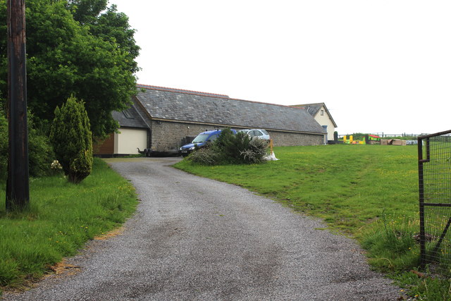
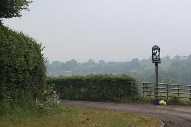
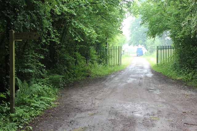
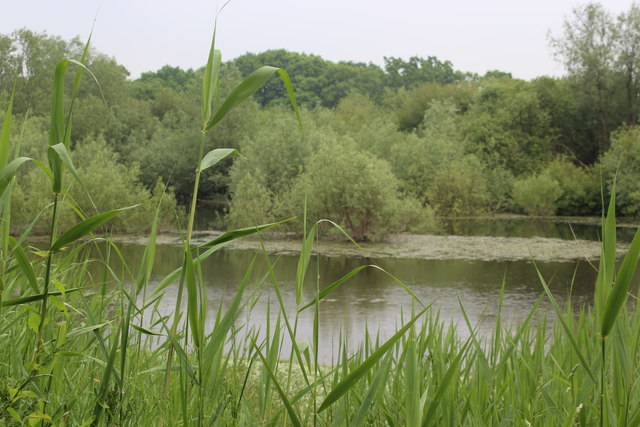
Pettingale Wood is a beautiful forest located in Monmouthshire, Wales. Covering an area of approximately 72 hectares, this woodland is a popular destination for nature lovers and outdoor enthusiasts. The wood is home to a variety of flora and fauna, including a diverse range of tree species such as oak, beech, and ash.
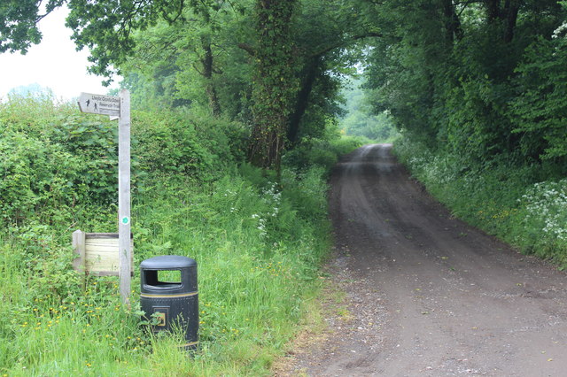
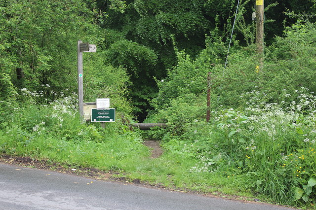
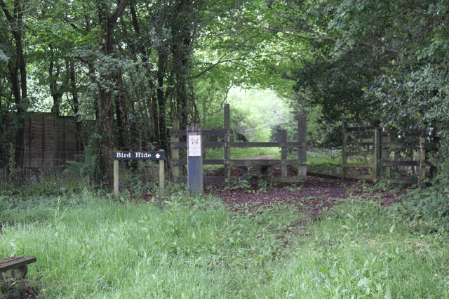
Visitors to Pettingale Wood can enjoy a leisurely stroll along the well-maintained pathways that wind through the forest, offering picturesque views of the surrounding countryside. The tranquil atmosphere of the wood provides a peaceful escape from the hustle and bustle of everyday life, making it an ideal spot for relaxation and contemplation.
In addition to its natural beauty, Pettingale Wood also has historical significance, with remnants of ancient settlements and structures scattered throughout the forest. Archaeological remains dating back to the Iron Age have been discovered in the area, adding to the wood's allure for history buffs and those interested in the past.
Overall, Pettingale Wood is a hidden gem in Monmouthshire, offering visitors a chance to connect with nature, explore the area's history, and unwind in a serene setting.
If you have any feedback on the listing, please let us know in the comments section below.
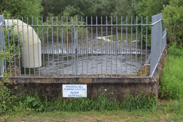
Pettingale Wood Images
Images are sourced within 2km of 51.69173/-2.9815162 or Grid Reference ST3299. Thanks to Geograph Open Source API. All images are credited.


Pettingale Wood is located at Grid Ref: ST3299 (Lat: 51.69173, Lng: -2.9815162)
Unitary Authority: Torfaen
Police Authority: Gwent
What 3 Words
///danger.deliver.threaded. Near New Inn, Torfaen
Nearby Locations
Related Wikis

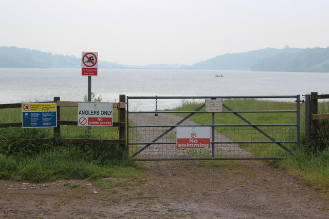
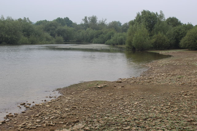
Llandegfedd Reservoir
Llandegfedd Reservoir (also known as Llandegveth Reservoir) is a large 174 hectare water supply reservoir and is eight miles (13 km) north of Newport...

Coed-y-paen
Coed-y-paen is a village in South Wales, situated at the south-eastern end of Llandegfedd Reservoir, 2.5 miles (4 km) north-west of Llangybi. HM Prison...

New Inn
New Inn - (Welsh: Y Dafarn Newydd) - is a village and community directly south east of Pontypool, within the County Borough of Torfaen in Wales, within...

Llanddewi Court
Llanddewi Court, Llanddewi Skirrid, Monmouthshire, Wales, is a Grade II* listed house dating from the late 16th century. It is an example of a "double...
Nearby Amenities
Located within 500m of 51.69173,-2.9815162Have you been to Pettingale Wood?
Leave your review of Pettingale Wood below (or comments, questions and feedback).