Sluvad Wood
Wood, Forest in Monmouthshire
Wales
Sluvad Wood
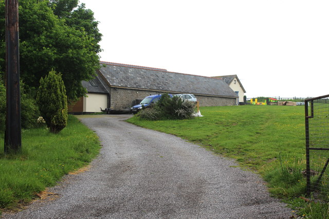
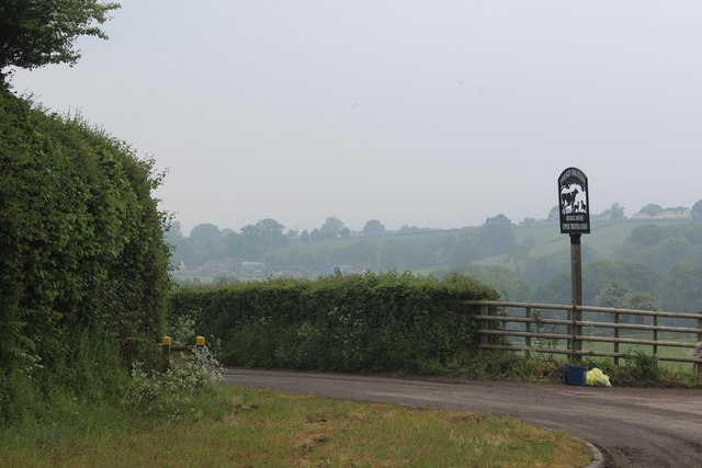
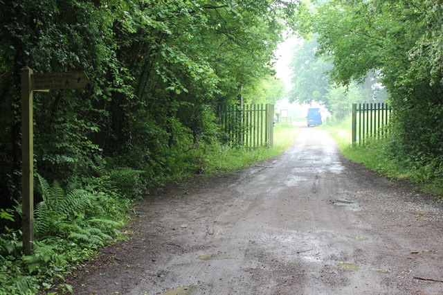
Sluvad Wood is a picturesque forest located in Monmouthshire, Wales. Covering an area of approximately 200 acres, the wood is a popular destination for nature lovers, hikers, and birdwatchers. The wood is home to a variety of tree species, including oak, beech, and ash, creating a diverse and vibrant ecosystem.
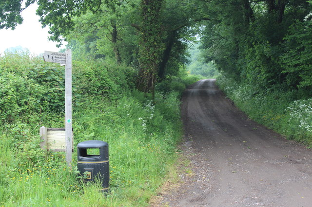
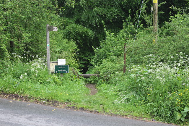
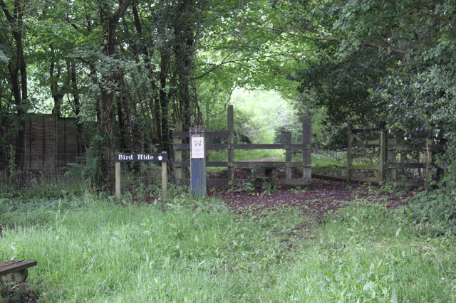
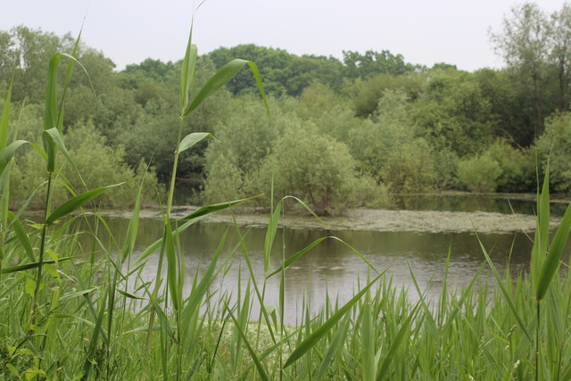
Visitors to Sluvad Wood can enjoy a network of well-maintained walking trails that wind through the forest, offering opportunities to explore the natural beauty of the area. The wood is also a haven for wildlife, with a range of bird species, mammals, and insects making their homes among the trees and undergrowth.
In addition to its natural beauty, Sluvad Wood also has historical significance, with remnants of ancient settlements and structures scattered throughout the forest. Archaeological surveys have revealed evidence of human activity dating back thousands of years, adding to the allure of the area for history enthusiasts.
Overall, Sluvad Wood is a tranquil and enchanting destination that offers a peaceful retreat from the hustle and bustle of modern life. Whether you are looking to immerse yourself in nature, explore the area's history, or simply enjoy a leisurely walk in the woods, Sluvad Wood has something to offer every visitor.
If you have any feedback on the listing, please let us know in the comments section below.
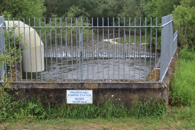
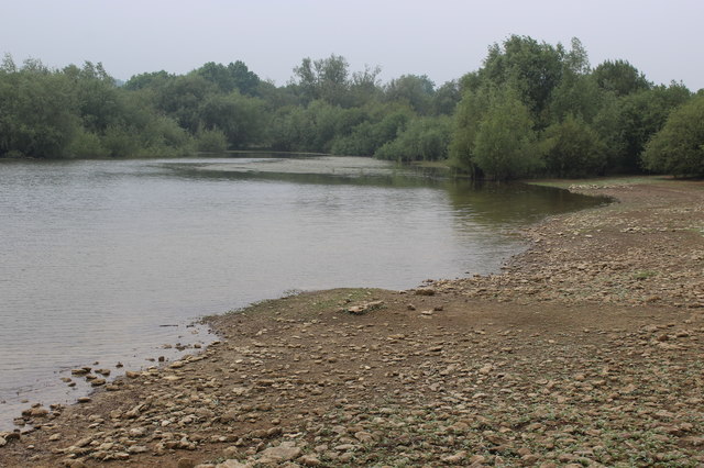
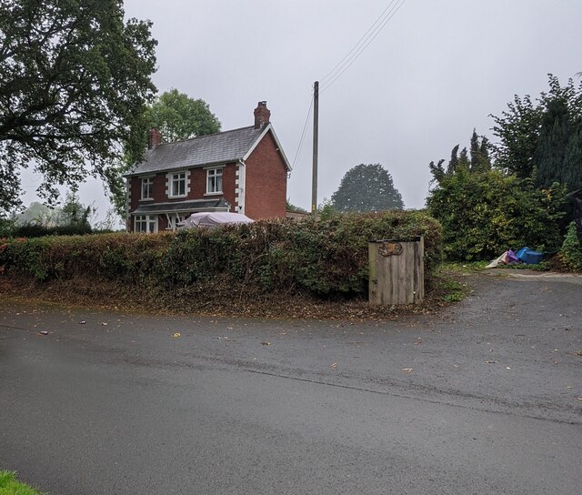
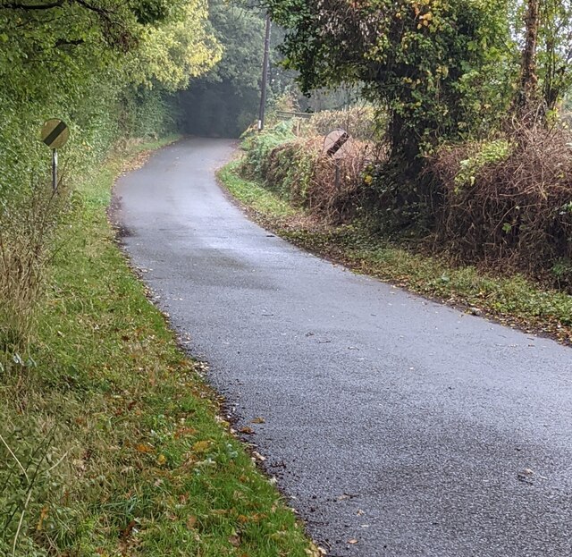
Sluvad Wood Images
Images are sourced within 2km of 51.689049/-2.9774221 or Grid Reference ST3299. Thanks to Geograph Open Source API. All images are credited.


Sluvad Wood is located at Grid Ref: ST3299 (Lat: 51.689049, Lng: -2.9774221)
Unitary Authority: Torfaen
Police Authority: Gwent
What 3 Words
///prance.mile.transcribes. Near New Inn, Torfaen
Nearby Locations
Related Wikis

Coed-y-paen
Coed-y-paen is a village in South Wales, situated at the south-eastern end of Llandegfedd Reservoir, 2.5 miles (4 km) north-west of Llangybi. HM Prison...

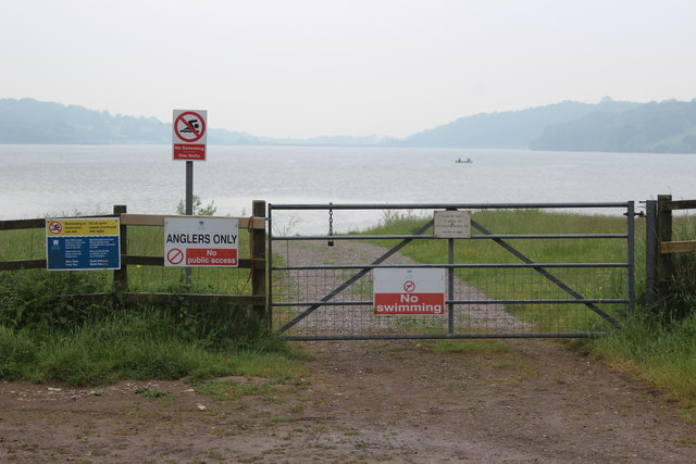
Llandegfedd Reservoir
Llandegfedd Reservoir (also known as Llandegveth Reservoir) is a large 174 hectare water supply reservoir and is eight miles (13 km) north of Newport...

Llanddewi Court
Llanddewi Court, Llanddewi Skirrid, Monmouthshire, Wales, is a Grade II* listed house dating from the late 16th century. It is an example of a "double...

New Inn
New Inn - (Welsh: Y Dafarn Newydd) - is a village and community directly south east of Pontypool, within the County Borough of Torfaen in Wales, within...
Nearby Amenities
Located within 500m of 51.689049,-2.9774221Have you been to Sluvad Wood?
Leave your review of Sluvad Wood below (or comments, questions and feedback).