Llandegfedd Reservoir

Lake, Pool, Pond, Freshwater Marsh in Monmouthshire

Wales

Llandegfedd Reservoir

Lower Trostra Farm The Trail passes by this farm.
Lower Trostra Farm Credit: M J Roscoe

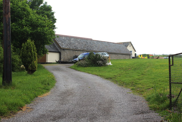
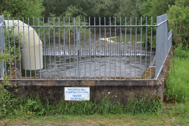
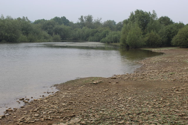
Llandegfedd Reservoir is a man-made freshwater lake located in Monmouthshire, Wales. It covers an area of approximately 434 acres and was constructed in 1965 to provide a reliable water supply for the surrounding area. The reservoir is situated within the beautiful Usk Valley and is surrounded by rolling hills and picturesque countryside.

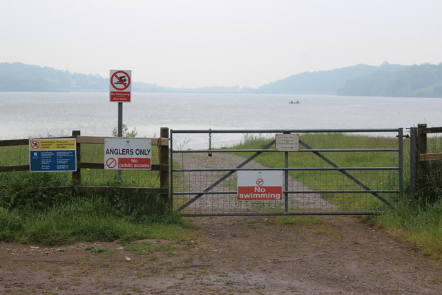
With a maximum depth of around 50 feet, Llandegfedd Reservoir is a popular destination for various recreational activities. The vast expanse of water offers opportunities for boating, sailing, and windsurfing, attracting enthusiasts from far and wide. Fishing is also a common pastime at the reservoir, with anglers seeking out a variety of fish species such as trout, perch, and pike.

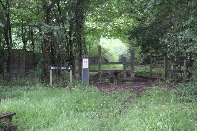
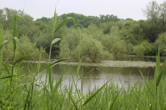
Aside from water-based activities, Llandegfedd Reservoir boasts an abundance of wildlife, making it an ideal spot for nature lovers. The surrounding area is a haven for birdwatchers, with a diverse range of bird species including ducks, swans, and herons. The reservoir's freshwater marshes provide a habitat for a variety of plants and animals, creating a rich ecosystem.

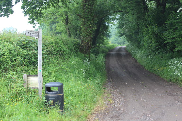
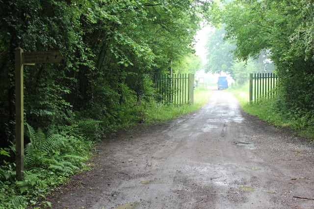
The reservoir is easily accessible, with a visitor center offering information, facilities, and a café. There are also walking trails around the lake, allowing visitors to explore the scenic surroundings and enjoy breathtaking views. Llandegfedd Reservoir is a peaceful and idyllic destination, perfect for those seeking relaxation, outdoor adventure, or simply a connection with nature.

If you have any feedback on the listing, please let us know in the comments section below.

Llandegfedd Reservoir Images

Images are sourced within 2km of 51.689018/-2.9757722 or Grid Reference ST3299. Thanks to Geograph Open Source API. All images are credited.

Lower Trostra Farm The Trail passes by this farm.
Lower Trostra Farm
The Trail passes by this farm.
House at Lower Trostra Large house in extensive grounds on the Trail route.
House at Lower Trostra
Large house in extensive grounds on the Trail route.
Track to Trostra Common The Trail after crossing Glascoed Lane. The arm on the signpost points back towards the road down to Trostra.
Track to Trostra Common
The Trail after crossing Glascoed Lane. The arm on the signpost points back towards the road down to Trostra.
Top of road to Upper & Lower Trostra Start of the minor road from Glascoed Lane; the yellow topped posts carry a notice warning walkers on the Trail to take care when crossing the lane to the track <a href="https://www.geograph.org.uk/photo/5791239">SO3100 : Track to Trostra Common</a> almost opposite.
Top of road to Upper & Lower Trostra
Start of the minor road from Glascoed Lane; the yellow topped posts carry a notice warning walkers on the Trail to take care when crossing the lane to the track SO3100 : Track to Trostra Common almost opposite.
Green track to Trostra Common A grassy track, part of the Trail, from Glascoed Lane; note the yellow topped way-marker post.
Green track to Trostra Common
A grassy track, part of the Trail, from Glascoed Lane; note the yellow topped way-marker post.
Path into Twyn y Cryn Common The Trail here crosses Glascoed Lane from the track opposite <a href="https://www.geograph.org.uk/photo/5791477">SO3200 : Green track to Trostra Common</a>. The green notice bans vehicles from the (woodland) common.
Path into Twyn y Cryn Common
The Trail here crosses Glascoed Lane from the track opposite SO3200 : Green track to Trostra Common. The green notice bans vehicles from the (woodland) common.
Stepping stones in Twyn y Cryn Wood Simple stepping stones of kerbstones over a small stream, a tributary of the Sor Brook. At the yellow-topped post the Trail veers right uphill.
Stepping stones in Twyn y Cryn Wood
Simple stepping stones of kerbstones over a small stream, a tributary of the Sor Brook. At the yellow-topped post the Trail veers right uphill.
Old quarry, Trostra Common Small disused quarry in woodland, next to the Trail.
Old quarry, Trostra Common
Small disused quarry in woodland, next to the Trail.
Footpath above Yew Tree Farm The Trail leaves a wooded corridor (left arm of signpost) and proceeds along the top of a field before turning right downhill.
Footpath above Yew Tree Farm
The Trail leaves a wooded corridor (left arm of signpost) and proceeds along the top of a field before turning right downhill.
Footpath down to Yew Tree Farmhouse The Trail runs downhill to the left of the posts to a pedestrian gate, and turns left.
Footpath down to Yew Tree Farmhouse
The Trail runs downhill to the left of the posts to a pedestrian gate, and turns left.
Entrance to car park, reservoir inlet The Trail from Yew Tree Farm <a href="https://www.geograph.org.uk/photo/5792241">SO3200 : Footpath down to Yew Tree Farmhouse</a> turns right at the trail's signpost on the highway and heads through the reservoir gates. Access to this area is restricted in the winter.
Entrance to car park, reservoir inlet
The Trail from Yew Tree Farm SO3200 : Footpath down to Yew Tree Farmhouse turns right at the trail's signpost on the highway and heads through the reservoir gates. Access to this area is restricted in the winter.
Way to bird hide, inlet car park From the picnic site (foreground) the path goes through the gate to the hide a few yards further on to the left. A notice nearby states that access is restricted to permit holders.
Way to bird hide, inlet car park
From the picnic site (foreground) the path goes through the gate to the hide a few yards further on to the left. A notice nearby states that access is restricted to permit holders.
Anglers' entrance to edge of Llandegfedd reservoir Only anglers and birdwatchers with permits allowed through gate!
Anglers' entrance to edge of Llandegfedd reservoir
Only anglers and birdwatchers with permits allowed through gate!
Northern inlet, Llandegfedd Reservoir View from bird hide a few yards from the Trail.
Northern inlet, Llandegfedd Reservoir
View from bird hide a few yards from the Trail.
River outfall, Llandegfedd Reservoir Raw water, pumped from the River Usk by the Prioress Mill Pumping Station north west of Usk, enters the enclosed concrete pound, spills over into a channel and flows into the reservoir. The Trail passes by the near railings on a permissive path.
River outfall, Llandegfedd Reservoir
Raw water, pumped from the River Usk by the Prioress Mill Pumping Station north west of Usk, enters the enclosed concrete pound, spills over into a channel and flows into the reservoir. The Trail passes by the near railings on a permissive path.
Shore of Llandegfedd Reservoir Shore of an inlet on the north east part of the reservoir, which does not appear to be full. This littoral area is closed to the public from 1 November to 1 March as it used by overwintering wildfowl.
Shore of Llandegfedd Reservoir
Shore of an inlet on the north east part of the reservoir, which does not appear to be full. This littoral area is closed to the public from 1 November to 1 March as it used by overwintering wildfowl.
Mount Zion Baptist Church, Glascoed, Monmouthshire Set below road level. Also known as Mount Zion Baptist Chapel, though the nameboard here <a title="https://www.geograph.org.uk/photo/6995019" href="https://www.geograph.org.uk/photo/6995019">Link</a> in 2021 shows Mount Zion Baptist Church.
Mount Zion Baptist Church, Glascoed, Monmouthshire
Set below road level. Also known as Mount Zion Baptist Chapel, though the nameboard here Link in 2021 shows Mount Zion Baptist Church.
Mount Zion Baptist Church nameboard, Glascoed, Monmouthshire The church <a title="https://www.geograph.org.uk/photo/6995016" href="https://www.geograph.org.uk/photo/6995016">Link</a> is in the background.
Mount Zion Baptist Church nameboard, Glascoed, Monmouthshire
The church Link is in the background.
Show me another place!

Llandegfedd Reservoir is located at Grid Ref: ST3299 (Lat: 51.689018, Lng: -2.9757722)

Unitary Authority: Torfaen

Police Authority: Gwent

What 3 Words

///tango.cobbles.flushes. Near New Inn, Torfaen

Related Wikis

Coed-y-paen

Coed-y-paen is a village in South Wales, situated at the south-eastern end of Llandegfedd Reservoir, 2.5 miles (4 km) north-west of Llangybi. HM Prison...

Llandegfedd Reservoir

Llandegfedd Reservoir (also known as Llandegveth Reservoir) is a large 174 hectare water supply reservoir and is eight miles (13 km) north of Newport...

Llanddewi Court

Llanddewi Court, Llanddewi Skirrid, Monmouthshire, Wales, is a Grade II* listed house dating from the late 16th century. It is an example of a "double...

HM Prison Prescoed

HM Prison Prescoed (Welsh: Carchar Prescoed EF) is a Category D men's open prison, located in Coed-y-paen, three miles from Usk in Monmouthshire, Wales...

New Inn

New Inn - (Welsh: Y Dafarn Newydd) - is a village and community directly south east of Pontypool, within the County Borough of Torfaen in Wales, within...

Polo Grounds, New Inn

The Polo Grounds, Pontypool Road was a sports ground and former greyhound racing track in New Inn, near Pontypool, Torfaen, south Wales. The Polo Ground...

Pontypool and New Inn railway station

Pontypool and New Inn railway station (Welsh: Pont-y Pwl & New Inn) is situated to the south east of Pontypool town centre between the town and the suburb...

Glascoed Halt railway station

Glascoed Halt was a request stop on the former Coleford, Monmouth, Usk and Pontypool Railway. It was opened in 1927 to serve the village of Glascoed, Monmouthshire...

Nearby Amenities

Located within 500m of 51.689018,-2.9757722
The data included in this document is from www.openstreetmap.org. The data is made available under ODbL.

Have you been to Llandegfedd Reservoir?

Leave your review of Llandegfedd Reservoir below (or comments, questions and feedback).