Coed Tynewydd

Wood, Forest in Monmouthshire

Wales

Coed Tynewydd

Warehouse, Mamhilad Park Estate Warehouse on part of former factory complex. The flat grey area to the left is the base of a now demolished building shown on the current OS map.
Warehouse, Mamhilad Park Estate Credit: M J Roscoe

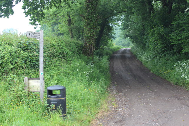
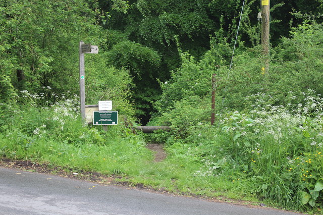
Coed Tynewydd is a beautiful woodland located in Monmouthshire, Wales. Covering an area of approximately 100 hectares, this ancient forest is a popular destination for nature lovers and outdoor enthusiasts. The woodland is predominantly composed of native broadleaf trees such as oak, beech, and ash, creating a diverse and vibrant ecosystem.

Coed Tynewydd is home to a variety of wildlife, including deer, badgers, and a wide range of bird species. The forest also features a network of walking trails and paths, allowing visitors to explore the natural beauty of the area at their own pace. Additionally, there are designated picnic areas and viewpoints where visitors can relax and enjoy the tranquil surroundings.

Managed by the Forestry Commission, Coed Tynewydd is a designated Site of Special Scientific Interest (SSSI) due to its important ecological and geological features. The forest plays a crucial role in maintaining biodiversity and providing a habitat for a range of plant and animal species.

Overall, Coed Tynewydd is a peaceful and picturesque woodland that offers a wonderful opportunity to connect with nature and enjoy the beauty of the Welsh countryside.

If you have any feedback on the listing, please let us know in the comments section below.

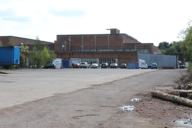
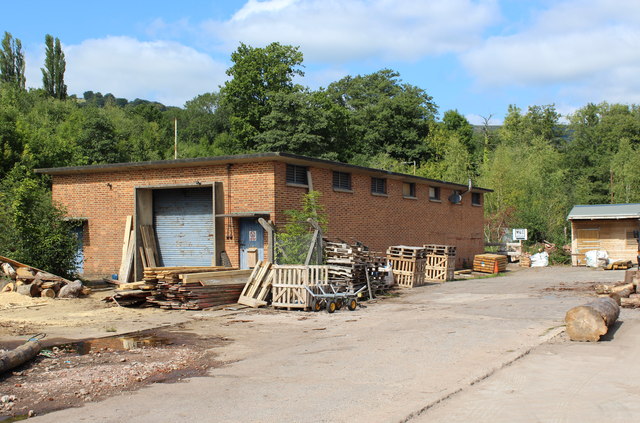
Coed Tynewydd Images

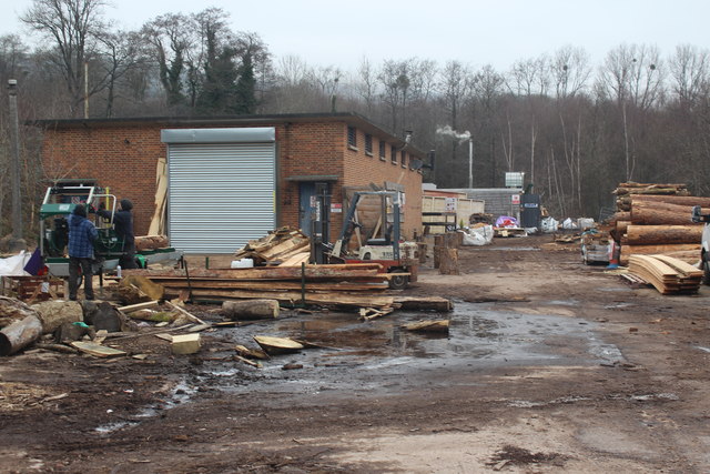
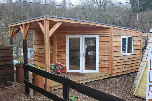
Images are sourced within 2km of 51.715825/-2.9818353 or Grid Reference SO3202. Thanks to Geograph Open Source API. All images are credited.

Warehouse, Mamhilad Park Estate Warehouse on part of former factory complex. The flat grey area to the left is the base of a now demolished building shown on the current OS map.
Warehouse, Mamhilad Park Estate
Warehouse on part of former factory complex. The flat grey area to the left is the base of a now demolished building shown on the current OS map.
Wood workshop, Mamhilad Park Estate Premises of Little Love Farm Wood Products in former oil store. The log on the right is on the site of a building shown on the current OS map, but now demolished.
Wood workshop, Mamhilad Park Estate
Premises of Little Love Farm Wood Products in former oil store. The log on the right is on the site of a building shown on the current OS map, but now demolished.
A4042 at Croes-Y-Pant Lane
A4042 near Pentwyn Farm
A4042 nears Mamhilad roundabout
Timber workshop, Mamhilad Park Estate Woodworking premises of Little Love Farm Ltd.
Timber workshop, Mamhilad Park Estate
Woodworking premises of Little Love Farm Ltd.
Railtour at Little Mill Jubilee-class 4-6-0 locomotive No. 45699 Galatea approaches the public foot crossing at Little Mill while working the Grange-over-Sands to Bristol (day 7) leg of the Great Britain X railtour.
Railtour at Little Mill
Jubilee-class 4-6-0 locomotive No. 45699 Galatea approaches the public foot crossing at Little Mill while working the Grange-over-Sands to Bristol (day 7) leg of the Great Britain X railtour.
Monmouthshire and Brecon Canal near bridge No. 68
Wain-y-Clare near Pontypool The pub serving food all day every day from 11:30am to 9:30pm is set back from 
the east side of the A4042 Usk Road, between New Inn, Pontypool and Little Mill. 
<a title="https://www.geograph.org.uk/photo/5504857" href="https://www.geograph.org.uk/photo/5504857">Link</a> to another view.
Wain-y-Clare near Pontypool
The pub serving food all day every day from 11:30am to 9:30pm is set back from the east side of the A4042 Usk Road, between New Inn, Pontypool and Little Mill. Link to another view.
Wain-y-Clare name sign near Pontypool On a post a few metres north of this pub. <a title="https://www.geograph.org.uk/photo/5504834" href="https://www.geograph.org.uk/photo/5504834">Link</a>
Wain-y-Clare name sign near Pontypool
On a post a few metres north of this pub. Link
Wain-y-Clare access road near Pontypool The one-way road connects the Wain-y-Clare pub <a title="https://www.geograph.org.uk/photo/5504834" href="https://www.geograph.org.uk/photo/5504834">Link</a> with the A4042 Usk Road on the right.
Wain-y-Clare access road near Pontypool
The one-way road connects the Wain-y-Clare pub Link with the A4042 Usk Road on the right.
Wain-y-Clare near Pontypool The pub serving food all day every day from 11:30am to 9:30pm is set back from
the east side of the A4042 Usk Road, between New Inn, Pontypool and Little Mill. 
<a title="https://www.geograph.org.uk/photo/5504834" href="https://www.geograph.org.uk/photo/5504834">Link</a> to another view.
Wain-y-Clare near Pontypool
The pub serving food all day every day from 11:30am to 9:30pm is set back from the east side of the A4042 Usk Road, between New Inn, Pontypool and Little Mill. Link to another view.
Usk Road near Mamhilad Park Estate and Uskvale Park Estate The A4042 Usk Road viewed from the Wain-y-Clare access road <a title="https://www.geograph.org.uk/photo/5504850" href="https://www.geograph.org.uk/photo/5504850">Link</a> in August 2017.
Black arrows on the sign on the right point left towards Mamhilad Park Estate and right towards Uskvale Park Estate. Yellow Mamhilad Park Estate notices show CARAVAN STORAGE, SELF STORAGE, OFFICES.
Usk Road near Mamhilad Park Estate and Uskvale Park Estate
The A4042 Usk Road viewed from the Wain-y-Clare access road Link in August 2017. Black arrows on the sign on the right point left towards Mamhilad Park Estate and right towards Uskvale Park Estate. Yellow Mamhilad Park Estate notices show CARAVAN STORAGE, SELF STORAGE, OFFICES.
Plank production at workshop, Mamhilad Park Estate Cutting logs on a portable sawmill, left, on a cold winter's day at Little Love Farm's premises.
Plank production at workshop, Mamhilad Park Estate
Cutting logs on a portable sawmill, left, on a cold winter's day at Little Love Farm's premises.
Wooden office, Mamhilad Park Estate New semi-rustic office for Little Love Farm timber business; the office, clad in larch, is just beyond the end of their brick workshop <a href="https://www.geograph.org.uk/photo/5649572">SO3002 : Plank production at workshop, Mamhilad Park Estate</a> which is to the left out of shot.
Wooden office, Mamhilad Park Estate
New semi-rustic office for Little Love Farm timber business; the office, clad in larch, is just beyond the end of their brick workshop SO3002 : Plank production at workshop, Mamhilad Park Estate which is to the left out of shot.
Track to Trostra Common The Trail after crossing Glascoed Lane. The arm on the signpost points back towards the road down to Trostra.
Track to Trostra Common
The Trail after crossing Glascoed Lane. The arm on the signpost points back towards the road down to Trostra.
Green track to Trostra Common A grassy track, part of the Trail, from Glascoed Lane; note the yellow topped way-marker post.
Green track to Trostra Common
A grassy track, part of the Trail, from Glascoed Lane; note the yellow topped way-marker post.
Path into Twyn y Cryn Common The Trail here crosses Glascoed Lane from the track opposite <a href="https://www.geograph.org.uk/photo/5791477">SO3200 : Green track to Trostra Common</a>. The green notice bans vehicles from the (woodland) common.
Path into Twyn y Cryn Common
The Trail here crosses Glascoed Lane from the track opposite SO3200 : Green track to Trostra Common. The green notice bans vehicles from the (woodland) common.
Show me another place!

Coed Tynewydd is located at Grid Ref: SO3202 (Lat: 51.715825, Lng: -2.9818353)

Unitary Authority: Monmouthshire

Police Authority: Gwent

What 3 Words

///detergent.surely.earful. Near New Inn, Torfaen

Related Wikis

Little Mill, Monmouthshire

Little Mill (Welsh: Y Felin Fach) is a village in Monmouthshire, south east Wales, United Kingdom, in the community and ward of Goetre Fawr. It has a population...

Little Mill Junction railway station

Little Mill Junction was a station on the former Coleford, Monmouth, Usk and Pontypool Railway, located between the main Newport, Abergavenny and Hereford...
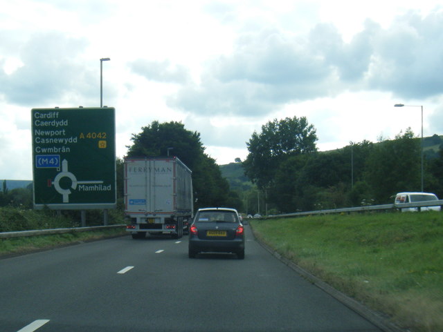
A4042 road

The A4042 is a trunk road that runs from Abergavenny to Newport in south Wales. == Route == Starting at the junction of the A40 and A465 south of Abergavenny...

Mamhilad

Mamhilad (Welsh: Mamheilad) is a village in the community of Goetre Fawr in Monmouthshire, south east Wales. == Location == Mamhilad is two miles to the...

Nearby Amenities

Located within 500m of 51.715825,-2.9818353
Power: tower
Lat/Long: 51.7176869/-2.9842043
Power: tower
Lat/Long: 51.7159586/-2.987085
Power: tower
Lat/Long: 51.7192788/-2.9814953
Power: tower
Lat/Long: 51.7139645/-2.9870743
The data included in this document is from www.openstreetmap.org. The data is made available under ODbL.

Have you been to Coed Tynewydd?

Leave your review of Coed Tynewydd below (or comments, questions and feedback).