Coed Bryntovey

Wood, Forest in Monmouthshire

Wales

Coed Bryntovey

Warehouse, Mamhilad Park Estate Warehouse on part of former factory complex. The flat grey area to the left is the base of a now demolished building shown on the current OS map.
Warehouse, Mamhilad Park Estate Credit: M J Roscoe

Coed Bryntovey is a lush woodland located in the county of Monmouthshire, Wales. Covering an area of approximately 200 acres, it is a haven for nature enthusiasts and outdoor adventurers alike. The woodland is situated near the village of Brynbuga, offering a serene and picturesque setting for visitors to explore.

The forest is predominantly composed of native tree species such as oak, beech, and ash, which create a dense canopy that provides shade and shelter for a diverse range of flora and fauna. Walking through the woodland, visitors are greeted by a carpet of wildflowers, including bluebells, primroses, and wood anemones, which bloom vibrantly during the springtime.

Coed Bryntovey is home to a variety of wildlife, making it a popular spot for birdwatching and animal spotting. Bird species such as great tits, nuthatches, and woodpeckers can be observed flitting among the branches, while small mammals like squirrels and voles scurry about on the forest floor. If lucky, visitors may even catch a glimpse of elusive creatures like badgers or foxes.

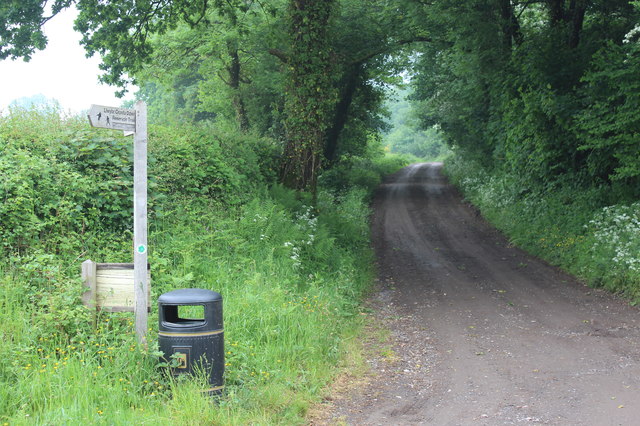
For those seeking outdoor activities, Coed Bryntovey offers several well-maintained walking trails that meander through the woodland. These paths cater to different abilities and interests, ranging from short strolls to longer hikes. Along the way, informative signposts provide insight into the woodland's history, ecology, and conservation efforts, enhancing the educational experience.

Coed Bryntovey is a true gem of Monmouthshire, offering a tranquil and immersive experience amidst the beauty of nature. Whether it be for a leisurely walk, birdwatching, or simply enjoying the peaceful ambiance, this woodland is a must-visit destination for nature enthusiasts and those seeking a break from the hustle and bustle of everyday life.

If you have any feedback on the listing, please let us know in the comments section below.

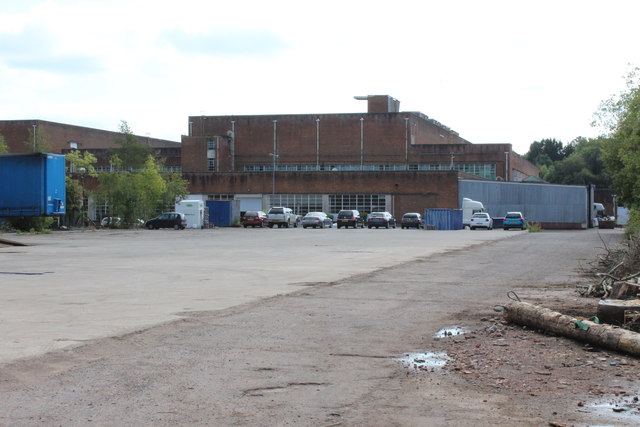
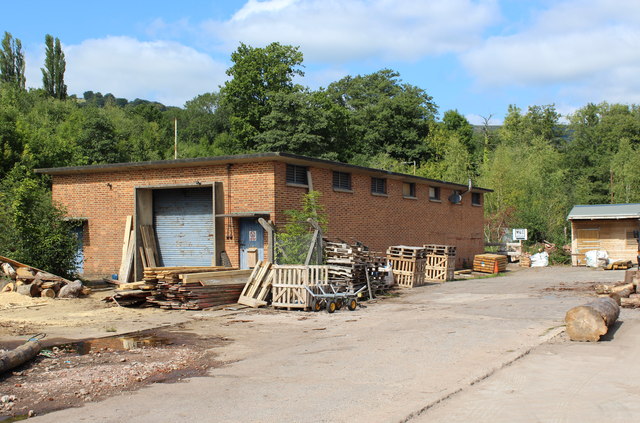
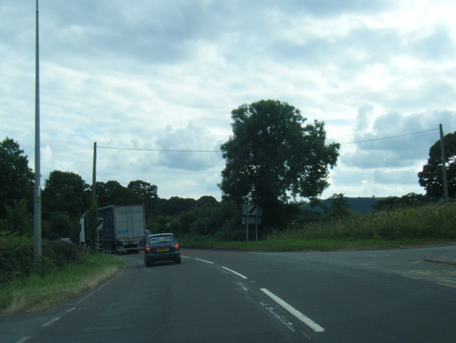
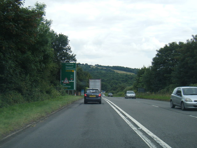
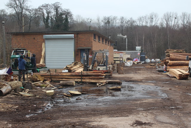
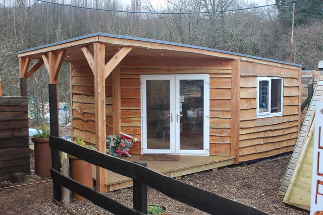
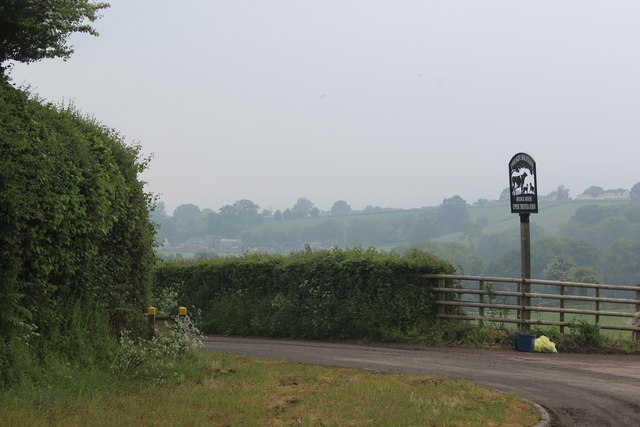
Coed Bryntovey Images

Images are sourced within 2km of 51.714596/-2.9847036 or Grid Reference SO3202. Thanks to Geograph Open Source API. All images are credited.

Warehouse, Mamhilad Park Estate Warehouse on part of former factory complex. The flat grey area to the left is the base of a now demolished building shown on the current OS map.
Warehouse, Mamhilad Park Estate
Warehouse on part of former factory complex. The flat grey area to the left is the base of a now demolished building shown on the current OS map.
Wood workshop, Mamhilad Park Estate Premises of Little Love Farm Wood Products in former oil store. The log on the right is on the site of a building shown on the current OS map, but now demolished.
Wood workshop, Mamhilad Park Estate
Premises of Little Love Farm Wood Products in former oil store. The log on the right is on the site of a building shown on the current OS map, but now demolished.
A4042 at Croes-Y-Pant Lane
A4042 near Pentwyn Farm
A4042 nears Mamhilad roundabout
Timber workshop, Mamhilad Park Estate Woodworking premises of Little Love Farm Ltd.
Timber workshop, Mamhilad Park Estate
Woodworking premises of Little Love Farm Ltd.
Railtour at Little Mill Jubilee-class 4-6-0 locomotive No. 45699 Galatea approaches the public foot crossing at Little Mill while working the Grange-over-Sands to Bristol (day 7) leg of the Great Britain X railtour.
Railtour at Little Mill
Jubilee-class 4-6-0 locomotive No. 45699 Galatea approaches the public foot crossing at Little Mill while working the Grange-over-Sands to Bristol (day 7) leg of the Great Britain X railtour.
Monmouthshire and Brecon Canal near bridge No. 68
Bridge No. 57 on the Monmouthshire and Brecon Canal
Wain-y-Clare near Pontypool The pub serving food all day every day from 11:30am to 9:30pm is set back from 
the east side of the A4042 Usk Road, between New Inn, Pontypool and Little Mill. 
<a title="https://www.geograph.org.uk/photo/5504857" href="https://www.geograph.org.uk/photo/5504857">Link</a> to another view.
Wain-y-Clare near Pontypool
The pub serving food all day every day from 11:30am to 9:30pm is set back from the east side of the A4042 Usk Road, between New Inn, Pontypool and Little Mill. Link to another view.
Wain-y-Clare name sign near Pontypool On a post a few metres north of this pub. <a title="https://www.geograph.org.uk/photo/5504834" href="https://www.geograph.org.uk/photo/5504834">Link</a>
Wain-y-Clare name sign near Pontypool
On a post a few metres north of this pub. Link
Wain-y-Clare access road near Pontypool The one-way road connects the Wain-y-Clare pub <a title="https://www.geograph.org.uk/photo/5504834" href="https://www.geograph.org.uk/photo/5504834">Link</a> with the A4042 Usk Road on the right.
Wain-y-Clare access road near Pontypool
The one-way road connects the Wain-y-Clare pub Link with the A4042 Usk Road on the right.
Wain-y-Clare near Pontypool The pub serving food all day every day from 11:30am to 9:30pm is set back from
the east side of the A4042 Usk Road, between New Inn, Pontypool and Little Mill. 
<a title="https://www.geograph.org.uk/photo/5504834" href="https://www.geograph.org.uk/photo/5504834">Link</a> to another view.
Wain-y-Clare near Pontypool
The pub serving food all day every day from 11:30am to 9:30pm is set back from the east side of the A4042 Usk Road, between New Inn, Pontypool and Little Mill. Link to another view.
Usk Road near Mamhilad Park Estate and Uskvale Park Estate The A4042 Usk Road viewed from the Wain-y-Clare access road <a title="https://www.geograph.org.uk/photo/5504850" href="https://www.geograph.org.uk/photo/5504850">Link</a> in August 2017.
Black arrows on the sign on the right point left towards Mamhilad Park Estate and right towards Uskvale Park Estate. Yellow Mamhilad Park Estate notices show CARAVAN STORAGE, SELF STORAGE, OFFICES.
Usk Road near Mamhilad Park Estate and Uskvale Park Estate
The A4042 Usk Road viewed from the Wain-y-Clare access road Link in August 2017. Black arrows on the sign on the right point left towards Mamhilad Park Estate and right towards Uskvale Park Estate. Yellow Mamhilad Park Estate notices show CARAVAN STORAGE, SELF STORAGE, OFFICES.
Plank production at workshop, Mamhilad Park Estate Cutting logs on a portable sawmill, left, on a cold winter's day at Little Love Farm's premises.
Plank production at workshop, Mamhilad Park Estate
Cutting logs on a portable sawmill, left, on a cold winter's day at Little Love Farm's premises.
Wooden office, Mamhilad Park Estate New semi-rustic office for Little Love Farm timber business; the office, clad in larch, is just beyond the end of their brick workshop <a href="https://www.geograph.org.uk/photo/5649572">SO3002 : Plank production at workshop, Mamhilad Park Estate</a> which is to the left out of shot.
Wooden office, Mamhilad Park Estate
New semi-rustic office for Little Love Farm timber business; the office, clad in larch, is just beyond the end of their brick workshop SO3002 : Plank production at workshop, Mamhilad Park Estate which is to the left out of shot.
Track to Trostra Common The Trail after crossing Glascoed Lane. The arm on the signpost points back towards the road down to Trostra.
Track to Trostra Common
The Trail after crossing Glascoed Lane. The arm on the signpost points back towards the road down to Trostra.
Top of road to Upper & Lower Trostra Start of the minor road from Glascoed Lane; the yellow topped posts carry a notice warning walkers on the Trail to take care when crossing the lane to the track <a href="https://www.geograph.org.uk/photo/5791239">SO3100 : Track to Trostra Common</a> almost opposite.
Top of road to Upper & Lower Trostra
Start of the minor road from Glascoed Lane; the yellow topped posts carry a notice warning walkers on the Trail to take care when crossing the lane to the track SO3100 : Track to Trostra Common almost opposite.
Show me another place!

Coed Bryntovey is located at Grid Ref: SO3202 (Lat: 51.714596, Lng: -2.9847036)

Unitary Authority: Torfaen

Police Authority: Gwent

What 3 Words

///dean.birthing.restore. Near New Inn, Torfaen

Related Wikis

Little Mill Junction railway station

Little Mill Junction was a station on the former Coleford, Monmouth, Usk and Pontypool Railway, located between the main Newport, Abergavenny and Hereford...
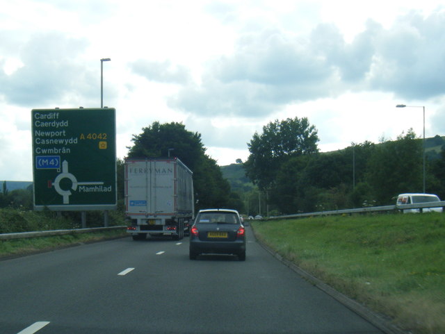
A4042 road

The A4042 is a trunk road that runs from Abergavenny to Newport in south Wales. == Route == Starting at the junction of the A40 and A465 south of Abergavenny...

Little Mill, Monmouthshire

Little Mill (Welsh: Y Felin Fach) is a village in Monmouthshire, south east Wales, United Kingdom, in the community and ward of Goetre Fawr. It has a population...

Mamhilad

Mamhilad (Welsh: Mamheilad) is a village in the community of Goetre Fawr in Monmouthshire, south east Wales. == Location == Mamhilad is two miles to the...

Glascoed Halt railway station

Glascoed Halt was a request stop on the former Coleford, Monmouth, Usk and Pontypool Railway. It was opened in 1927 to serve the village of Glascoed, Monmouthshire...

Church of St Illtyd, Mamhilad

The Church of St Illtyd, Mamhilad, Monmouthshire, Wales, is a parish church with its origins in the 11th century. Renovations took place in the 19th century...

Llandegfedd Reservoir

Llandegfedd Reservoir (also known as Llandegveth Reservoir) is a large 174 hectare water supply reservoir and is eight miles (13 km) north of Newport...

Goytre A.F.C.

Goytre Association Football Club is a football club is based in the village of Penperlleni, Monmouthshire in South Wales. The team play in the Ardal Leagues...

Nearby Amenities

Located within 500m of 51.714596,-2.9847036
Little Mill Junction
Historic Railway: station
Railway: site
Wikidata: Q15242504
Wikipedia: en:Little Mill Junction railway station
Lat/Long: 51.7168451/-2.9908472
Power: tower
Lat/Long: 51.7176869/-2.9842043
Power: tower
Lat/Long: 51.7159586/-2.987085
Power: tower
Lat/Long: 51.7103315/-2.9869187
Power: tower
Lat/Long: 51.7139645/-2.9870743
The data included in this document is from www.openstreetmap.org. The data is made available under ODbL.

Have you been to Coed Bryntovey?

Leave your review of Coed Bryntovey below (or comments, questions and feedback).