Lower Wern Wood
Wood, Forest in Monmouthshire
Wales
Lower Wern Wood

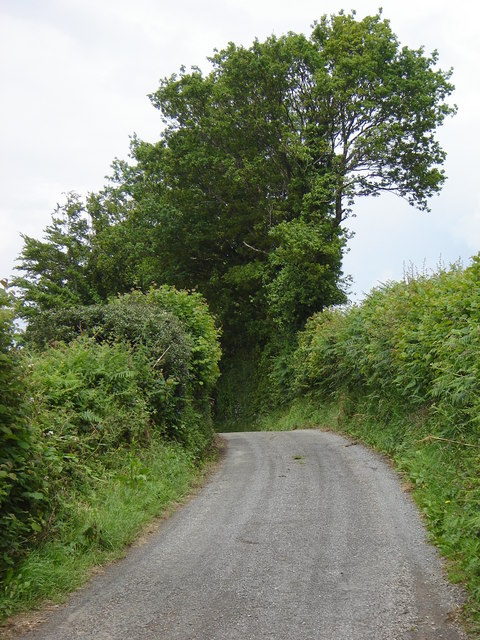
Lower Wern Wood is a picturesque woodland located in Monmouthshire, Wales. It is situated in the eastern part of the county, near the village of Llanishen. Covering an area of approximately 100 acres, Lower Wern Wood is known for its diverse range of flora and fauna, making it a popular destination for nature enthusiasts and wildlife lovers.
The woodland is primarily composed of deciduous trees, including oak, beech, and ash, which create a dense canopy and provide a habitat for numerous bird species, such as woodpeckers and owls. The forest floor is carpeted with a variety of wildflowers, adding vibrant colors to the landscape during spring and summer.
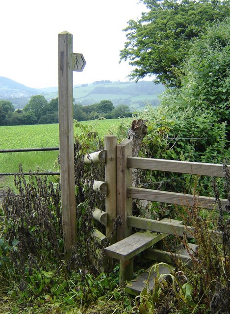
Lower Wern Wood is crisscrossed by a network of walking trails, allowing visitors to explore its beauty at their own pace. These paths lead through both open spaces and more secluded areas, providing a mix of scenic views and peaceful solitude. Along the trails, visitors may encounter wildlife such as deer, foxes, and rabbits.
The wood is managed by a local conservation organization, ensuring the preservation of its natural beauty and biodiversity. It also serves as an educational resource, with regular guided walks and nature workshops for schools and community groups.
Overall, Lower Wern Wood offers a tranquil and enchanting experience for visitors, allowing them to immerse themselves in the beauty of nature and enjoy the serenity of this idyllic woodland setting.
If you have any feedback on the listing, please let us know in the comments section below.
Lower Wern Wood Images
Images are sourced within 2km of 51.708772/-3.0108743 or Grid Reference SO3001. Thanks to Geograph Open Source API. All images are credited.


Lower Wern Wood is located at Grid Ref: SO3001 (Lat: 51.708772, Lng: -3.0108743)
Unitary Authority: Torfaen
Police Authority: Gwent
What 3 Words
///stint.guessing.windows. Near New Inn, Torfaen
Related Wikis
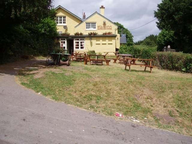
Shell Grotto, Pontypool
The Shell Grotto - (Welsh: Groto Cregyn) - (sometimes called the Shell Hermitage) is a Grade II* listed (as of 7 February 1962) late-18th-century stone...

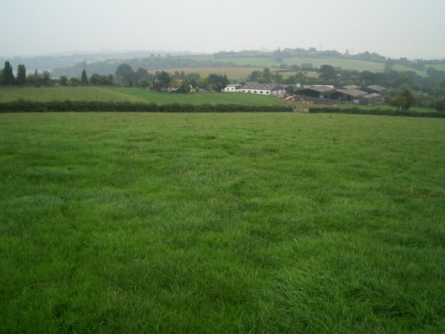
Mamhilad
Mamhilad (Welsh: Mamheilad) is a village in the community of Goetre Fawr in Monmouthshire, south east Wales. == Location == Mamhilad is two miles to the...

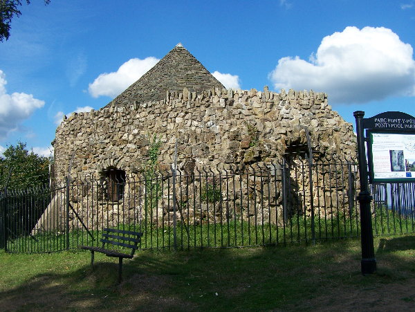
Folly Tower, Pontypool
The Folly Tower (Welsh: Tŵr Ffoledd) is a folly located within the grounds of a working farm, close to Pontypool Park, Torfaen, South Wales (Grid ref:...

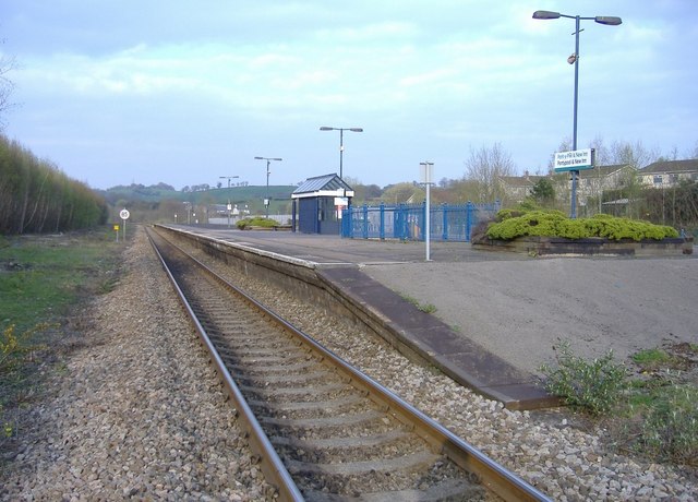
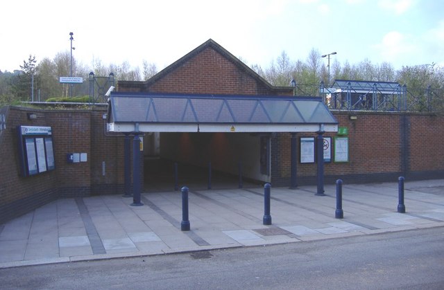
Pontypool and New Inn railway station
Pontypool and New Inn railway station (Welsh: Pont-y Pwl & New Inn) is situated to the south east of Pontypool town centre between the town and the suburb...

Little Mill Junction railway station
Little Mill Junction was a station on the former Coleford, Monmouth, Usk and Pontypool Railway, located between the main Newport, Abergavenny and Hereford...

Persondy, Mamhilad
Persondy (the Priest's House), Mamhilad, Monmouthshire is a former parsonage dating from the late 16th century. It is a Grade II* listed building. The...
Penygarn, Torfaen
Penygarn is a village near Trevethin in Wales. Penygarn has its own nursery, infant school and junior school. Penygarn has its new housing accommodation...

A4042 road
The A4042 is a trunk road that runs from Abergavenny to Newport in south Wales. == Route == Starting at the junction of the A40 and A465 south of Abergavenny...
Nearby Amenities
Located within 500m of 51.708772,-3.0108743Have you been to Lower Wern Wood?
Leave your review of Lower Wern Wood below (or comments, questions and feedback).