Llanfihangel Pont-y-moel
Settlement in Monmouthshire
Wales
Llanfihangel Pont-y-moel

Llanfihangel Pont-y-moel is a small village located in Monmouthshire, Wales. Situated in the beautiful Usk Valley, it lies approximately 9 miles northeast of the town of Pontypool.
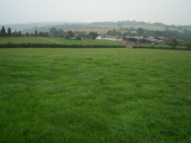
The village is nestled amidst rolling hills and lush green countryside, offering a picturesque setting for residents and visitors alike. It is known for its tranquil and peaceful atmosphere, making it an ideal place for those seeking a retreat from the hustle and bustle of city life.
Llanfihangel Pont-y-moel is home to a close-knit community, with a population of around 500 people. The village features a charming church, St. Michael's, which is believed to date back to the 14th century. The church is a notable landmark and is well worth a visit for its historical and architectural significance.
The surrounding area offers plenty of opportunities for outdoor enthusiasts, with numerous walking and cycling trails nearby. The nearby Brecon Beacons National Park is a haven for nature lovers, offering stunning landscapes and a wide variety of flora and fauna.
For amenities, Llanfihangel Pont-y-moel has a local pub, The Angel Inn, which serves traditional pub food and drinks. There are also a few shops and services available in the village, ensuring that residents have access to basic necessities.
Overall, Llanfihangel Pont-y-moel is a charming village that offers a peaceful and idyllic lifestyle in the heart of the Monmouthshire countryside. It is a place where residents can enjoy the beauty of nature and the warmth of a tight-knit community.
If you have any feedback on the listing, please let us know in the comments section below.
Llanfihangel Pont-y-moel Images
Images are sourced within 2km of 51.705147/-3.010237 or Grid Reference SO3001. Thanks to Geograph Open Source API. All images are credited.


Llanfihangel Pont-y-moel is located at Grid Ref: SO3001 (Lat: 51.705147, Lng: -3.010237)
Unitary Authority: Torfaen
Police Authority: Gwent
Also known as: Llanfihangel Pontymoel
What 3 Words
///range.fruit.bigger. Near New Inn, Torfaen
Related Wikis

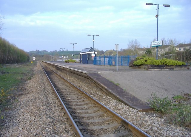
Pontypool and New Inn railway station
Pontypool and New Inn railway station (Welsh: Pont-y Pwl & New Inn) is situated to the south east of Pontypool town centre between the town and the suburb...
Shell Grotto, Pontypool
The Shell Grotto - (Welsh: Groto Cregyn) - (sometimes called the Shell Hermitage) is a Grade II* listed (as of 7 February 1962) late-18th-century stone...

Mamhilad
Mamhilad (Welsh: Mamheilad) is a village in the community of Goetre Fawr in Monmouthshire, south east Wales. == Location == Mamhilad is two miles to the...
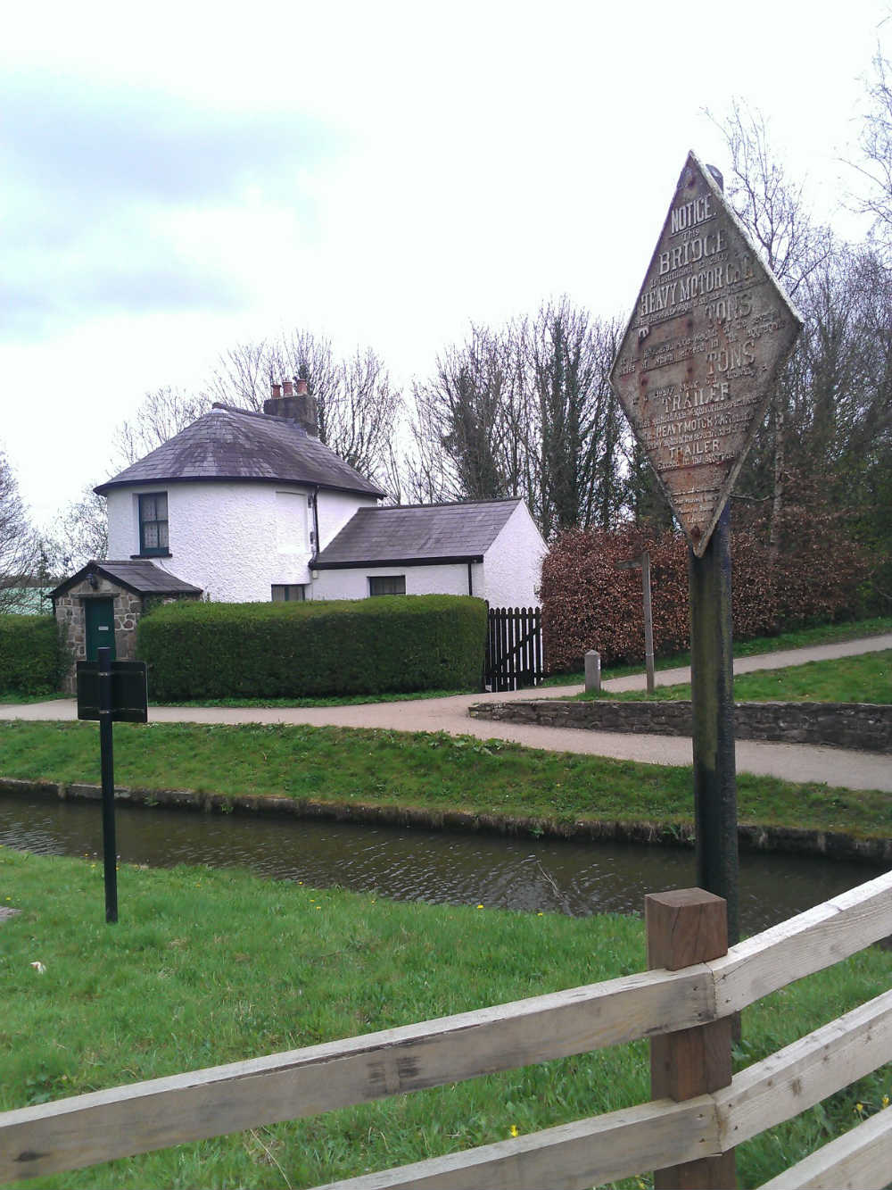
Pontymoile Basin
Pontymoile Basin is a mooring point and canal junction on the Monmouthshire & Brecon Canal. == Location == The basin lies on the Pontypool stretch of the...

Griffithstown Railway Museum
Griffithstown Railway Museum was a railway memorabilia museum located in Griffithstown, Torfaen, South Wales. It was housed in a former Great Western Railway...

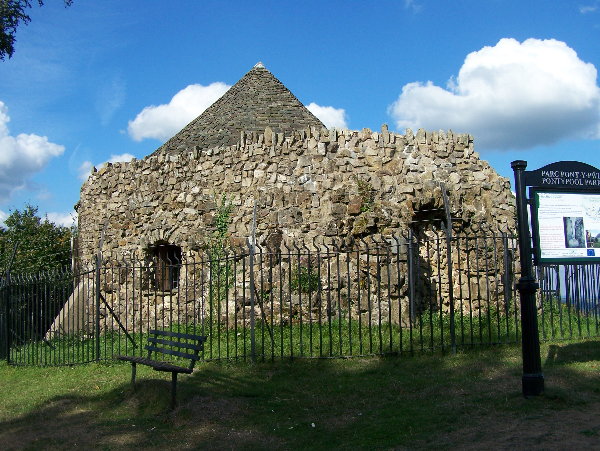
Folly Tower, Pontypool
The Folly Tower (Welsh: Tŵr Ffoledd) is a folly located within the grounds of a working farm, close to Pontypool Park, Torfaen, South Wales (Grid ref:...
Polo Grounds, New Inn
The Polo Grounds, Pontypool Road was a sports ground and former greyhound racing track in New Inn, near Pontypool, Torfaen, south Wales. The Polo Ground...

New Inn
New Inn - (Welsh: Y Dafarn Newydd) - is a village and community directly south east of Pontypool, within the County Borough of Torfaen in Wales, within...
Nearby Amenities
Located within 500m of 51.705147,-3.010237Have you been to Llanfihangel Pont-y-moel?
Leave your review of Llanfihangel Pont-y-moel below (or comments, questions and feedback).