Cairnhill
Settlement in Aberdeenshire
Scotland
Cairnhill
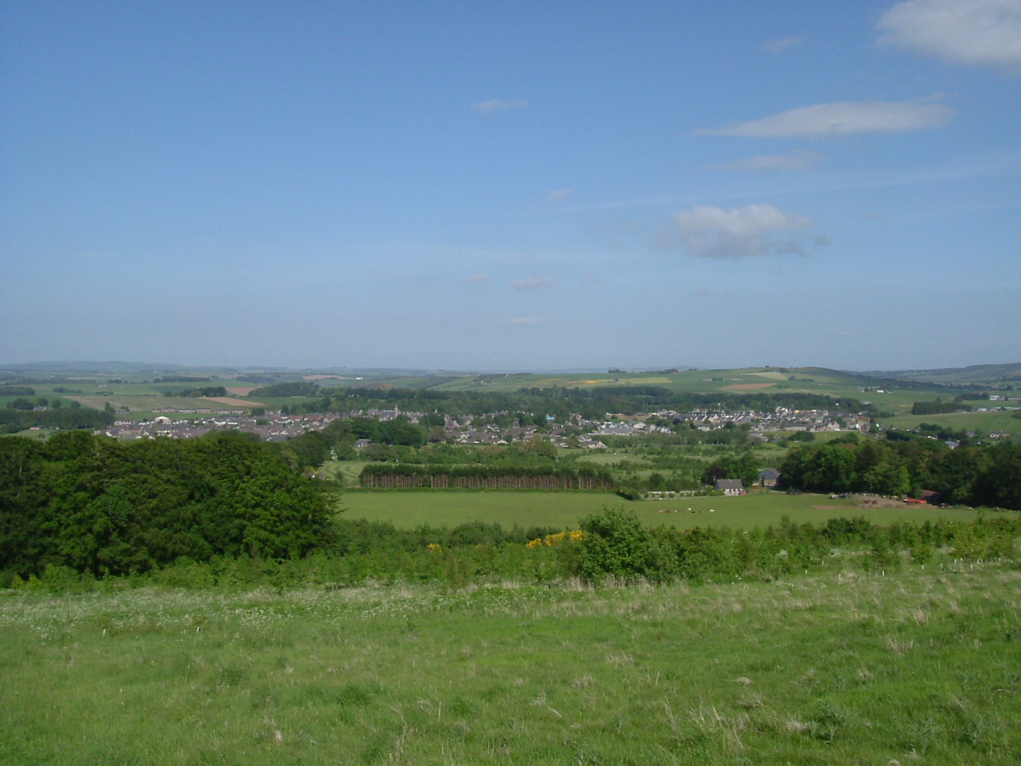
Cairnhill is a small village located in the picturesque region of Aberdeenshire, Scotland. Situated in the northeast of the country, Cairnhill is surrounded by stunning natural landscapes and offers a peaceful and idyllic setting for residents and visitors alike.
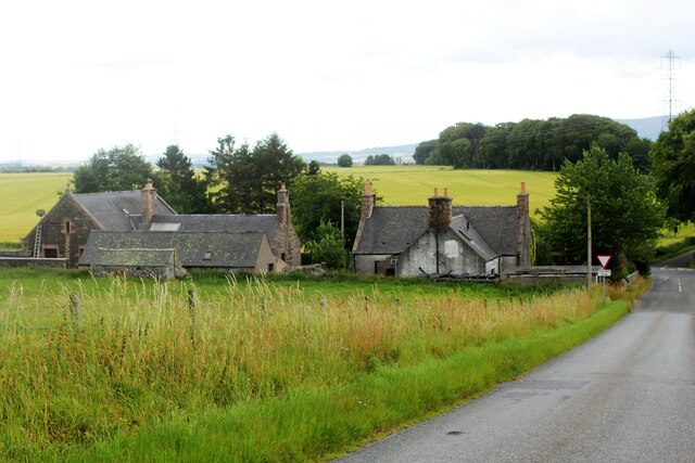
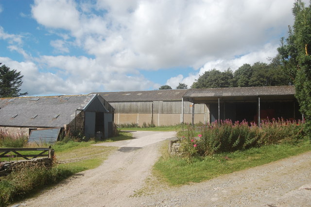
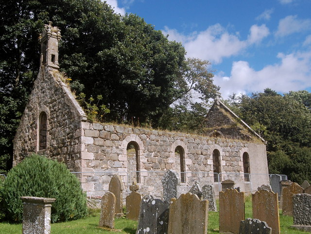
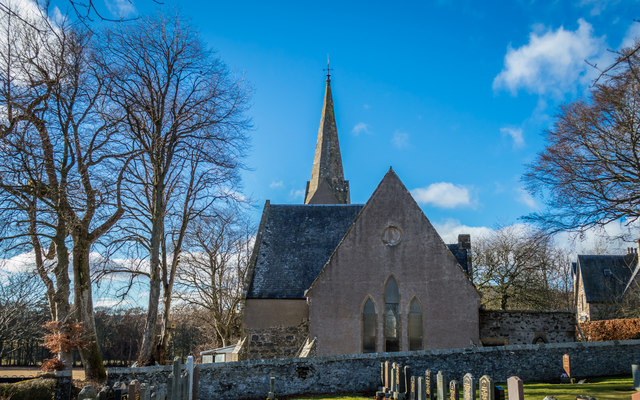
The village is known for its charming and traditional architecture, with many of its buildings dating back several centuries. The predominant architectural style is Scottish vernacular, featuring stone-built houses and cottages that beautifully blend with the rural surroundings. Cairnhill's quaint streets and well-maintained gardens contribute to its overall charm.
With a population of around 500, the village has a close-knit community that prides itself on its friendly and welcoming atmosphere. The locals are known for their strong sense of community spirit and often organize events and activities for residents and visitors to enjoy.
Despite its small size, Cairnhill offers a range of amenities and services to cater to the needs of its residents. These include a primary school, a village hall, a local pub, and a small grocery store. For more extensive shopping and entertainment options, residents can easily access nearby towns and cities such as Aberdeen, which is approximately 20 miles away.
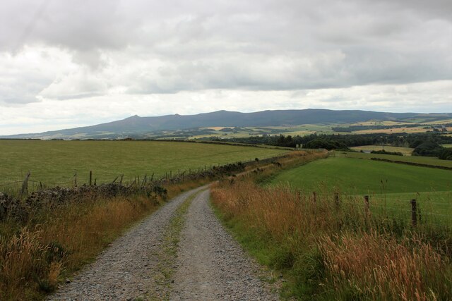
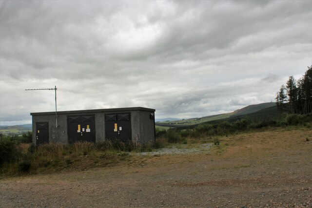
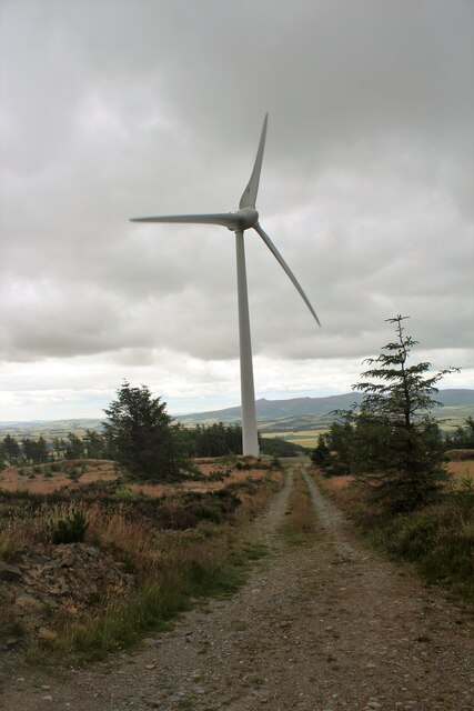
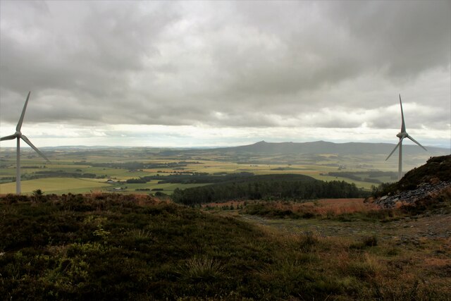
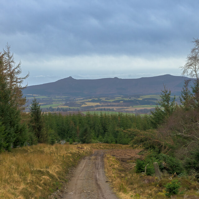
Nature enthusiasts will find Cairnhill to be an ideal location, as the village is surrounded by stunning landscapes and offers easy access to various outdoor activities. The nearby Cairngorms National Park provides ample opportunities for hiking, cycling, and wildlife spotting, making it a popular destination for outdoor enthusiasts.
Overall, Cairnhill offers a peaceful and scenic retreat for those seeking a slower pace of life amidst the beauty of the Aberdeenshire countryside.
If you have any feedback on the listing, please let us know in the comments section below.
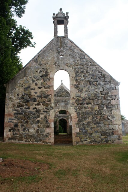
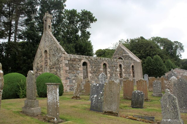
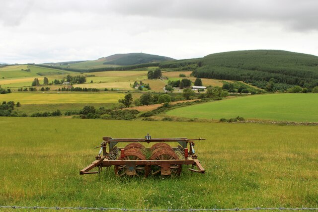
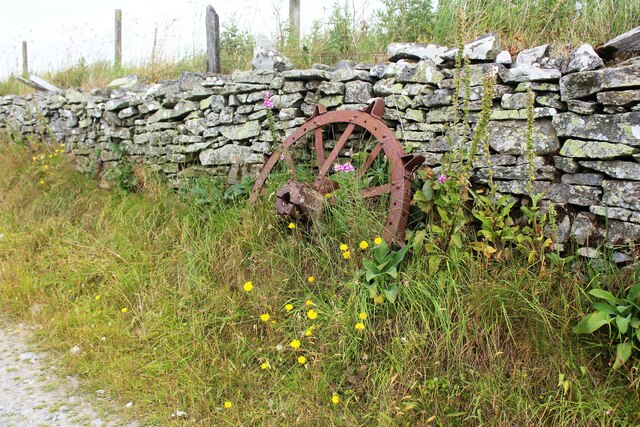
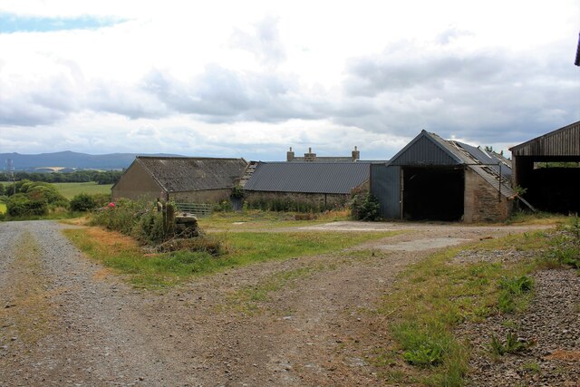
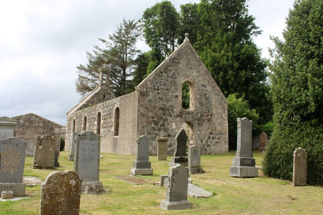
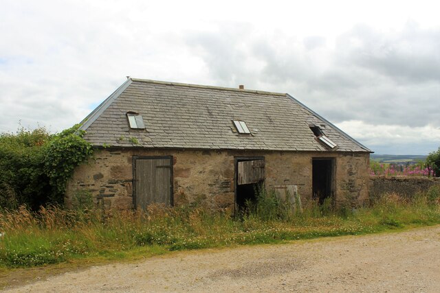
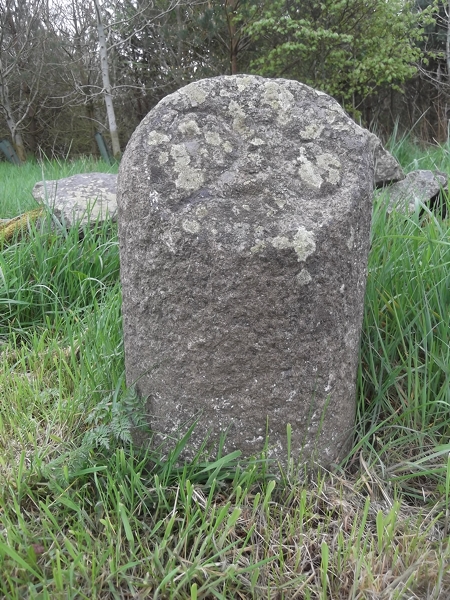
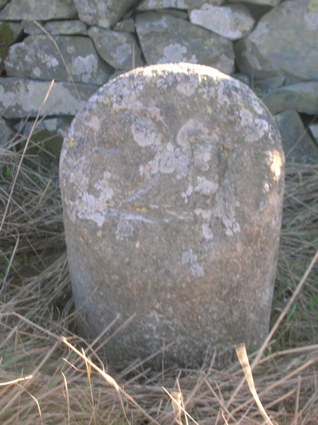
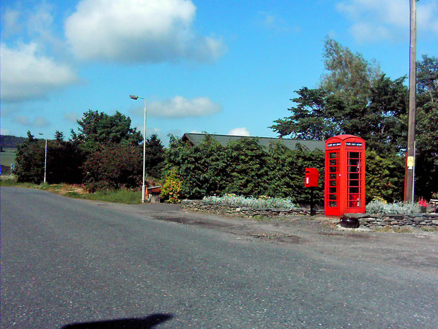
Cairnhill Images
Images are sourced within 2km of 57.38402/-2.559735 or Grid Reference NJ6632. Thanks to Geograph Open Source API. All images are credited.
Cairnhill is located at Grid Ref: NJ6632 (Lat: 57.38402, Lng: -2.559735)
Unitary Authority: Aberdeenshire
Police Authority: North East
What 3 Words
///slam.passing.balancing. Near Insch, Aberdeenshire
Nearby Locations
Related Wikis

Freefield Castle
Freefield Castle was a castle, about 11.5 miles (18.5 km) north of Inverurie, Aberdeenshire, Scotland, and 1 mile (1.6 km) west of North Rayne.Alternatively...
Colpy
Colpy is a hamlet in Aberdeenshire, Scotland, situated 3 miles (5 kilometres) north of Insch. == External links == Colpy in the Gazetteer for Scotland...

Bonnyton, Aberdeenshire
Bonnyton is a rural area of Old Rayne in the Garioch area of Aberdeenshire, Scotland.Bonnyton is a small secluded hamlet comprising seven houses, at the...
Culsalmond
Culsalmond was a 16th-century castle about 9.5 miles (15.3 km) south east of Huntly, Aberdeenshire, Scotland, near the river Ury. == History == The castle...
Old Rayne
Old Rayne is a small village in Aberdeenshire, Scotland, approximately 9 miles (14 kilometres) north west of Inverurie and 14 mi (23 km) south east of...

Ythan Wells
Ythan Wells, also known as Glenmailen, is the site of a Roman military camp, near the farm of Glenmellan, 2.1 kilometres (1.3 mi) east of the village of...
Insch
Insch (Scottish Gaelic: An Innis or Innis Mo Bheathain) is a village in the Garioch, Aberdeenshire, Scotland. It is located approximately 28 miles (45...
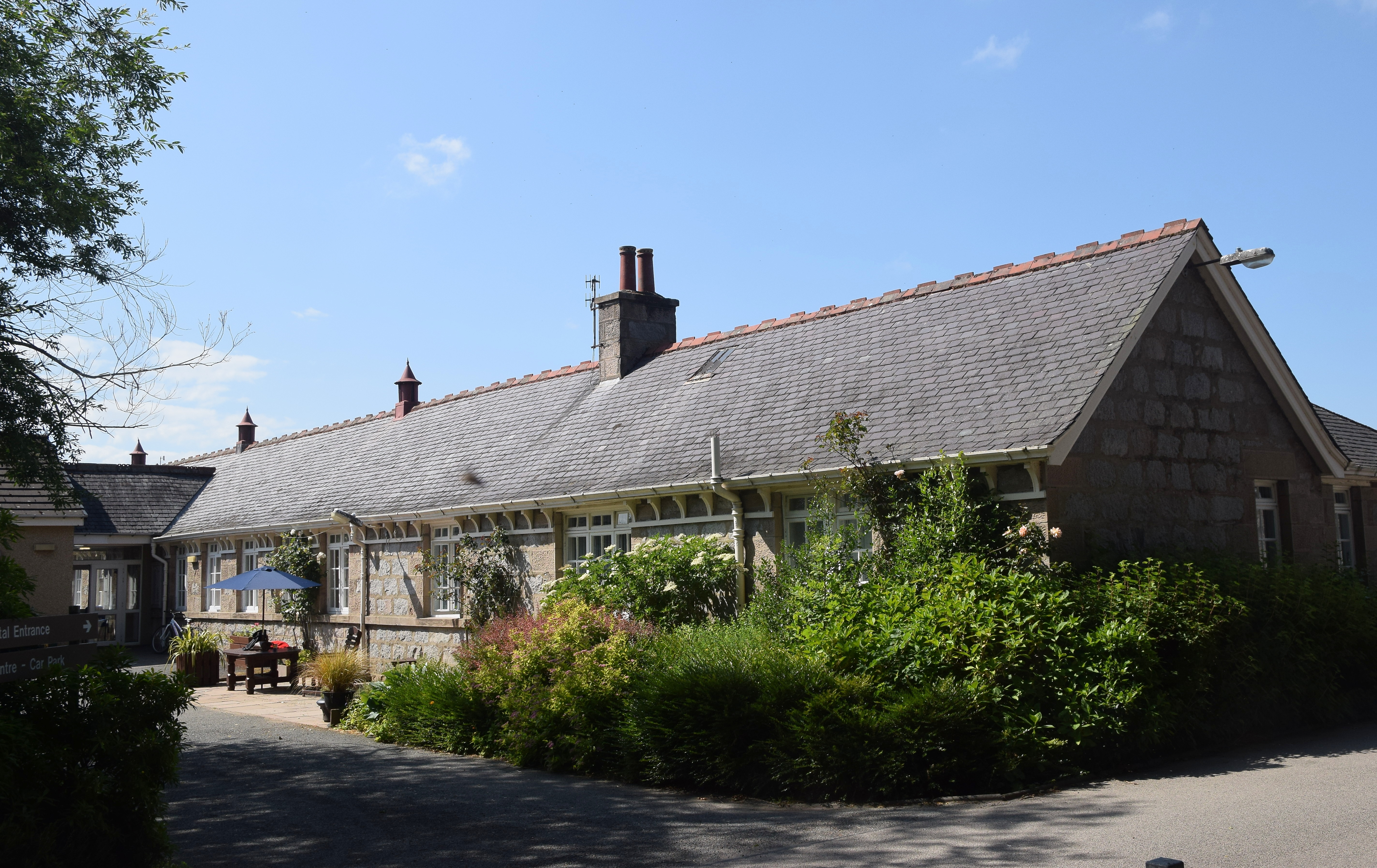
Insch War Memorial Hospital
Insch War Memorial Hospital is a small community hospital located at Insch, Aberdeenshire, Scotland. It is managed by NHS Grampian. == History == The hospital...
Nearby Amenities
Located within 500m of 57.38402,-2.559735Have you been to Cairnhill?
Leave your review of Cairnhill below (or comments, questions and feedback).