Moss of Williamston

Wood, Forest in Aberdeenshire

Scotland

Moss of Williamston

At the Bottom of Culsalmond Brae Buildings at the bottom of Culsalmond Brae, apparently an old schoolhouse and school. A small crossroad is at the right the A920 crossing two minor roads.
At the Bottom of Culsalmond Brae Credit: Andrew Wood

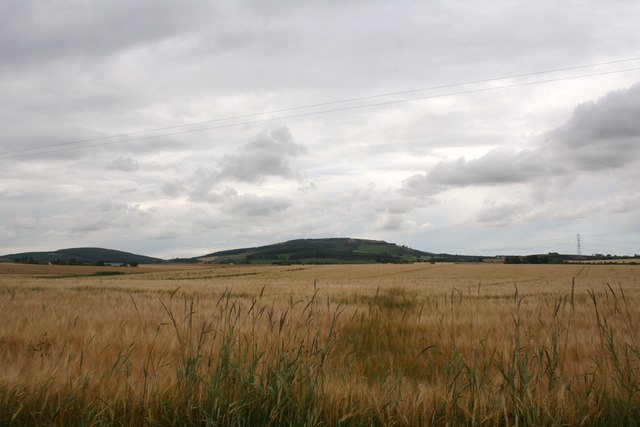
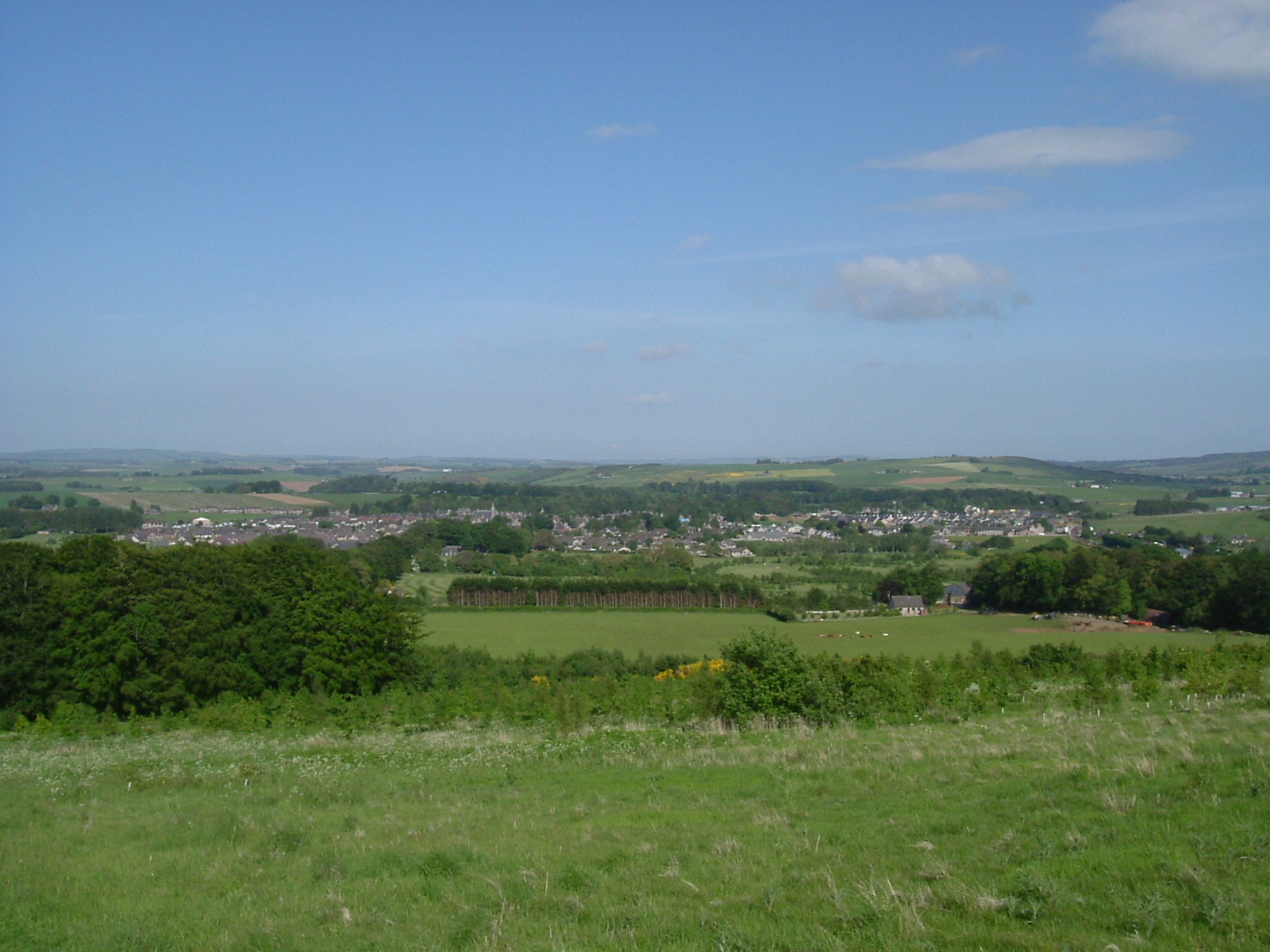
Moss of Williamston is a picturesque woodland located in the rural area of Aberdeenshire, Scotland. Covering an area of approximately 100 acres, this enchanting forest is a haven for nature lovers and outdoor enthusiasts alike.

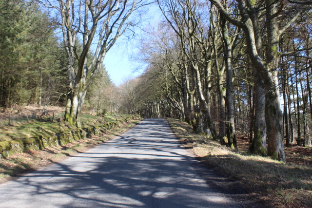
The woodland is characterized by its dense canopy of mature trees, predominantly consisting of oak, birch, and pine. These towering giants provide a tranquil and shady atmosphere, making it an ideal destination for leisurely walks or picnics. The forest floor is adorned with a lush carpet of moss, ferns, and wildflowers, creating a vibrant and captivating sight.

Moss of Williamston boasts a diverse range of wildlife, providing nature enthusiasts with ample opportunities for exploration and observation. Visitors can spot a plethora of bird species, including woodpeckers, owls, and various songbirds. The forest is also home to small mammals such as red squirrels, foxes, and deer, which can often be glimpsed among the trees.

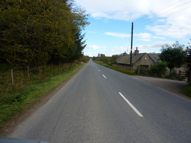
Trails and footpaths wind through Moss of Williamston, offering visitors the chance to immerse themselves in the serene beauty of the surroundings. The paths are well-maintained, making them accessible to visitors of all ages and fitness levels. Along the trails, informative signboards provide interesting facts about the flora and fauna found in the woodland.

Overall, Moss of Williamston is a hidden gem in Aberdeenshire, offering a tranquil retreat from the hustle and bustle of everyday life. Its natural beauty, diverse wildlife, and well-maintained trails make it a must-visit destination for nature enthusiasts and those seeking a peaceful connection with the great outdoors.

If you have any feedback on the listing, please let us know in the comments section below.

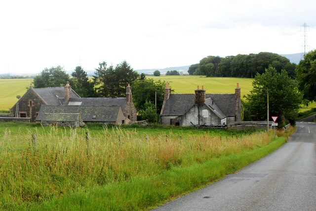
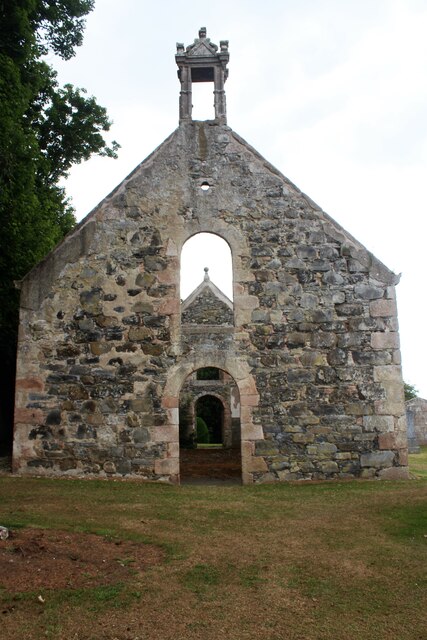
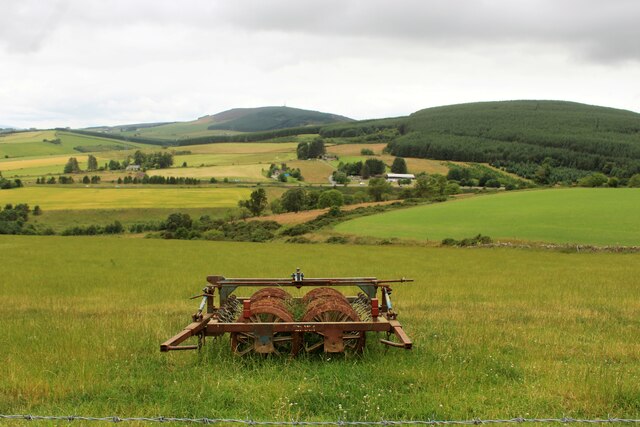
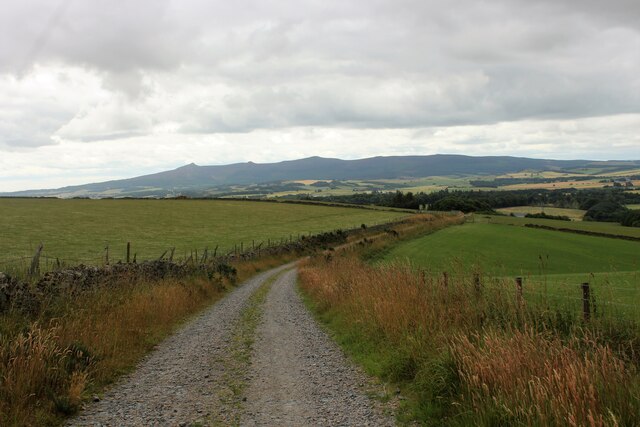
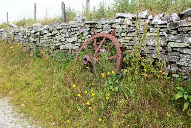
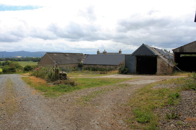
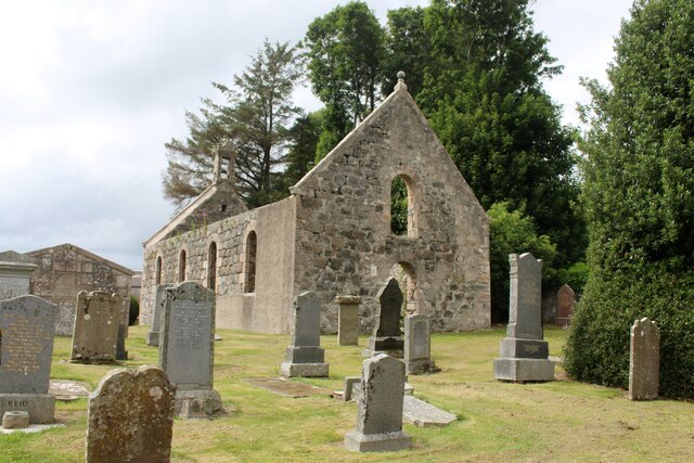
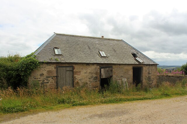
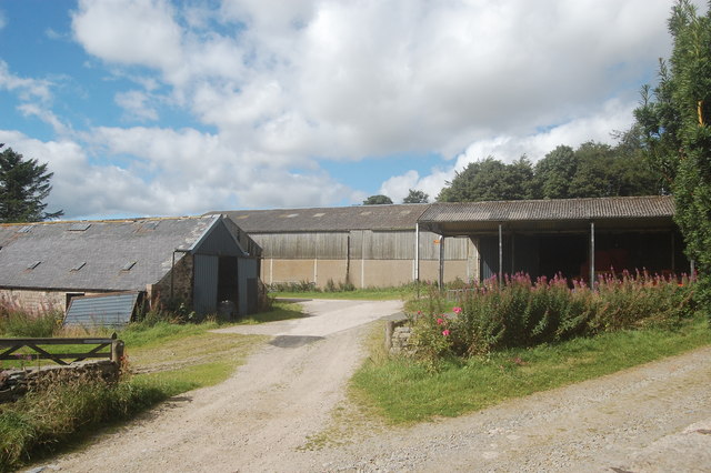
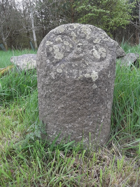
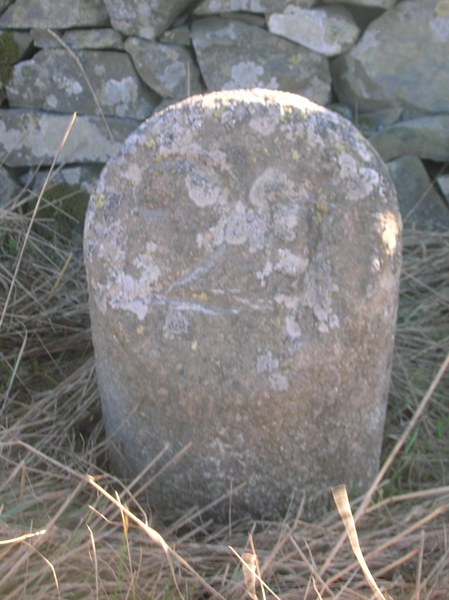
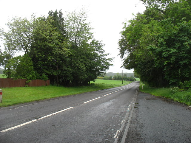
Moss of Williamston Images

Images are sourced within 2km of 57.377362/-2.5658628 or Grid Reference NJ6632. Thanks to Geograph Open Source API. All images are credited.

At the Bottom of Culsalmond Brae Buildings at the bottom of Culsalmond Brae, apparently an old schoolhouse and school. A small crossroad is at the right the A920 crossing two minor roads.
At the Bottom of Culsalmond Brae
Buildings at the bottom of Culsalmond Brae, apparently an old schoolhouse and school. A small crossroad is at the right the A920 crossing two minor roads.
Kirk Gable and Bell Tower The west gable of the old kirk of Culsalmond and its empty bell tower. Built in 1791 this church was abandoned in 1937, the west end lies in one grid square and the east in another.
Kirk Gable and Bell Tower
The west gable of the old kirk of Culsalmond and its empty bell tower. Built in 1791 this church was abandoned in 1937, the west end lies in one grid square and the east in another.
Old Culsalmond Kirkyard The old kirkyard at Culsalmond from the south-east,
Old Culsalmond Kirkyard
The old kirkyard at Culsalmond from the south-east,
Left in the Field An agricultural implement in a field above Kirton Farm. The wooded slopes of the Hill of Skares and Gartly Moor lie beyond.
Left in the Field
An agricultural implement in a field above Kirton Farm. The wooded slopes of the Hill of Skares and Gartly Moor lie beyond.
Track to Kirkton Farm The farm track leading south, downhill toward Kirktown Farm. Bennachie as so often prominent on the skyline.
Track to Kirkton Farm
The farm track leading south, downhill toward Kirktown Farm. Bennachie as so often prominent on the skyline.
Wheel at Rest An old wheel from an agricultural vehicle sitting at rest by the trackside.
Wheel at Rest
An old wheel from an agricultural vehicle sitting at rest by the trackside.
Kirkton Farm The largely disused steading at Kirkton. There is signs of rejuvenation at the farmhouse the rest of the farm is sorely neglected.
Kirkton Farm
The largely disused steading at Kirkton. There is signs of rejuvenation at the farmhouse the rest of the farm is sorely neglected.
The Auld Kirk The old kirk of Culsalmond with its kirkyard seen from the east.
The Auld Kirk
The old kirk of Culsalmond with its kirkyard seen from the east.
Kirkton Stable A derelict old stable block at Kirkton Farm.
Kirkton Stable
A derelict old stable block at Kirkton Farm.
Kirkton Farm, Kirkton of Culsalmond
Kirkton of Culsalmond old kirk Built ca. 1791 and abandoned in 1937, when the parish church was relocated to the former Free Church a few hundred metres to the south-west. The ruin, which is now fenced off for safety reasons, is A-listed, largely for its ornate 17th Century bellcote.   The bell is said to have migrated to Keithhall and Kinkell Kirk: <a title="https://www.geograph.org.uk/photo/4978187" href="https://www.geograph.org.uk/photo/4978187">Link</a> .
Kirkton of Culsalmond old kirk
Built ca. 1791 and abandoned in 1937, when the parish church was relocated to the former Free Church a few hundred metres to the south-west. The ruin, which is now fenced off for safety reasons, is A-listed, largely for its ornate 17th Century bellcote. The bell is said to have migrated to Keithhall and Kinkell Kirk: Link .
Culsalmond Kirk
Culsalmond Kirk
Old Milestone by the A920, Culsalmond Parish By the A920, in parish of Culsalmond (Grampian District), at Bends sign, entrance to ACM Trailer Hire, South side of road.

Inscription reads:- : 28 : (To Aberdeen)

Surveyed

Milestone Society National ID: AD_ADHN28
Old Milestone by the A920, Culsalmond Parish
By the A920, in parish of Culsalmond (Grampian District), at Bends sign, entrance to ACM Trailer Hire, South side of road. Inscription reads:- : 28 : (To Aberdeen) Surveyed Milestone Society National ID: AD_ADHN28
Old Milestone by the A920, Culsalmond Parish By the A920, in parish of Culsalmond (Grampian District), on long straight, in front of low stone wall, South side of road.

Inscription reads:-
27
(To Aberdeen)

Surveyed

Milestone Society National ID: AD_ADHN27
Old Milestone by the A920, Culsalmond Parish
By the A920, in parish of Culsalmond (Grampian District), on long straight, in front of low stone wall, South side of road. Inscription reads:- 27 (To Aberdeen) Surveyed Milestone Society National ID: AD_ADHN27
The A96 heading for Huntly
Cadger's Road Cadger's road heading easterly through Tillymorgan woodland.
Cadger's Road
Cadger's road heading easterly through Tillymorgan woodland.
Waves of Barley Barley fields ripening at Combscauseway.
Waves of Barley
Barley fields ripening at Combscauseway.
One of the many long straight stretches of the A 920
Show me another place!

Moss of Williamston is located at Grid Ref: NJ6632 (Lat: 57.377362, Lng: -2.5658628)

Unitary Authority: Aberdeenshire

Police Authority: North East

What 3 Words

///potential.condensed.finds. Near Insch, Aberdeenshire

Related Wikis

Related Videos

Hill of Tillymorgan walk, Aberdeenshire, Scotland, UK

This is a short climb of Hill of Tillymorgan starting from the church at Kirkton of Culsalmond. First heading through fields before a ...

Nearby Amenities

Located within 500m of 57.377362,-2.5658628
Design: barrel
Power: tower
Lat/Long: 57.3777952/-2.571969
Design: barrel
Power: tower
Lat/Long: 57.3753451/-2.5671625
Power: pole
Lat/Long: 57.3803979/-2.5602793
Power: pole
Lat/Long: 57.380463/-2.5616178
Power: pole
Lat/Long: 57.3805292/-2.5630847
Power: pole
Lat/Long: 57.3805902/-2.5644558
Power: pole
Lat/Long: 57.380647/-2.5656467
Power: pole
Lat/Long: 57.3806966/-2.566872
Power: pole
Lat/Long: 57.3807483/-2.5680245
Power: pole
Lat/Long: 57.3808961/-2.5692
Power: pole
Lat/Long: 57.3810336/-2.5703141
Power: pole
Lat/Long: 57.3811928/-2.5628891
Power: pole
Lat/Long: 57.3796474/-2.5617923
Power: pole
Lat/Long: 57.3789486/-2.5619553
Power: pole
Lat/Long: 57.3782798/-2.5621221
Power: pole
Lat/Long: 57.3775272/-2.5623062
Power: pole
Lat/Long: 57.3772584/-2.5627568
Power: pole
Lat/Long: 57.3766536/-2.5637559
Power: pole
Lat/Long: 57.3763342/-2.5643062
Power: pole
Lat/Long: 57.3761243/-2.5646092
Generator Method: wind_turbine
Generator Output Electricity: yes
Generator Source: wind
Generator Type: horizontal_axis
Power: generator
Lat/Long: 57.375947/-2.5637774
The data included in this document is from www.openstreetmap.org. The data is made available under ODbL.

Have you been to Moss of Williamston?

Leave your review of Moss of Williamston below (or comments, questions and feedback).