Hurdlaw Wood

Wood, Forest in Berwickshire

Scotland

Hurdlaw Wood

Log pile near Wedderlie One of several in the area.
Log pile near Wedderlie Credit: M J Richardson

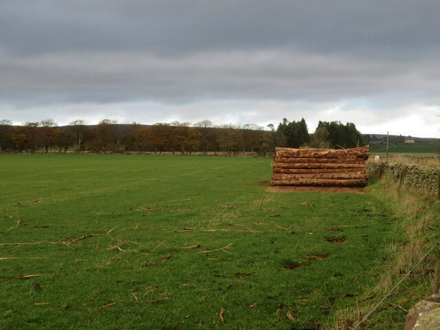
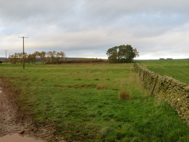
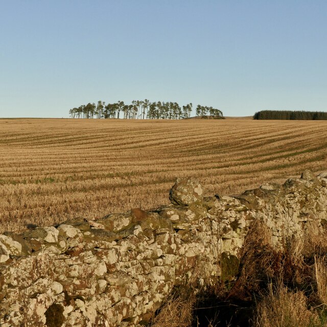
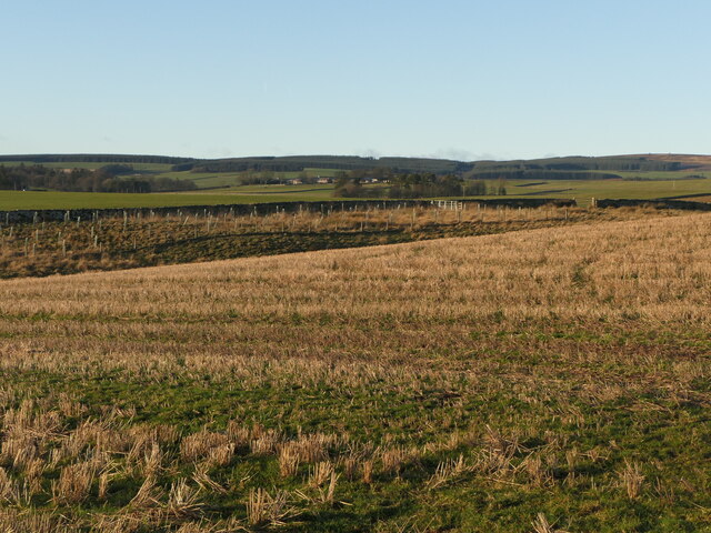
Hurdlaw Wood is a picturesque woodland located in the county of Berwickshire, Scotland. Covering an area of approximately 100 acres, it is a popular destination for nature lovers, hikers, and wildlife enthusiasts alike. The wood is situated near the village of Ayton, just a few miles from the coast of the North Sea.

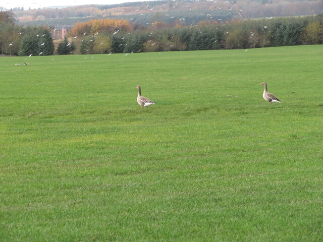
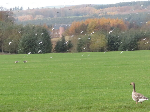
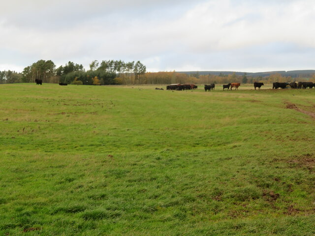
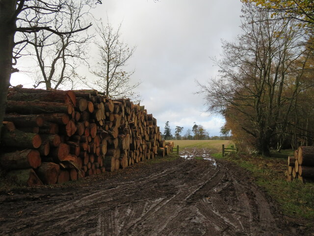
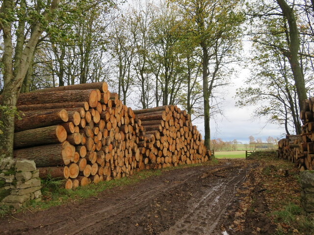
The woodland is characterized by its diverse range of tree species, including oak, beech, birch, and pine. These trees create a dense canopy that provides shelter and habitat for a variety of wildlife, such as birds, squirrels, and deer. The forest floor is carpeted with a rich assortment of wildflowers, ferns, and mosses, adding to the enchanting atmosphere of the wood.

Visitors to Hurdlaw Wood can enjoy a network of well-maintained walking trails that wind their way through the trees. These paths offer stunning views of the surrounding countryside and lead to a small clearing, where a tranquil pond can be found. The pond attracts a variety of waterfowl and is a peaceful spot for reflection and observation.

The wood is managed by a local conservation group, who work to protect and maintain its natural beauty. They regularly organize educational events and guided walks to promote awareness and appreciation for the woodland ecosystem. Additionally, the group has implemented measures to ensure the sustainable use of the wood, such as selective tree felling and controlled burns to encourage new growth.

Overall, Hurdlaw Wood is a captivating natural haven, offering visitors the chance to immerse themselves in the beauty of Scotland's countryside and discover its diverse flora and fauna.

If you have any feedback on the listing, please let us know in the comments section below.
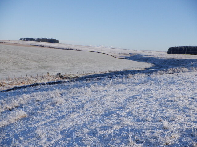
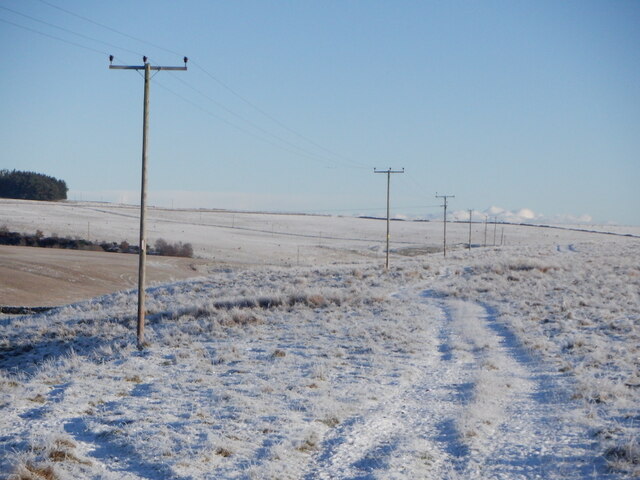
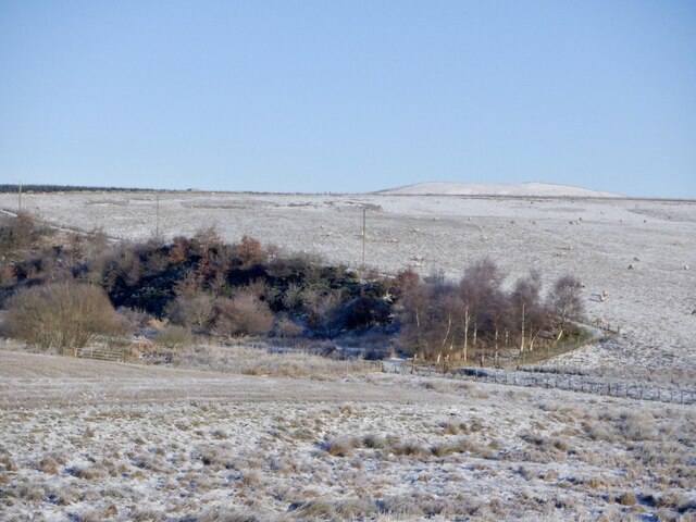
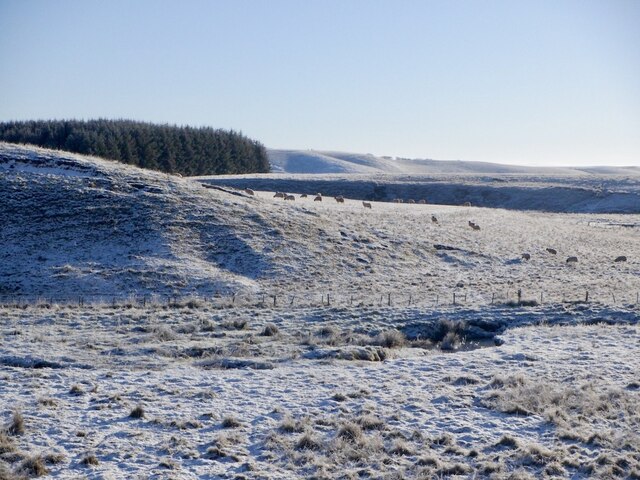
Hurdlaw Wood Images

Images are sourced within 2km of 55.74224/-2.5420248 or Grid Reference NT6650. Thanks to Geograph Open Source API. All images are credited.

Log pile near Wedderlie One of several in the area.
Log pile near Wedderlie
One of several in the area.
Wedderlie farm sign With a fine black bull. The house is also a wedding venue.
Wedderlie farm sign
With a fine black bull. The house is also a wedding venue.
Good advice to sat. nav. dependants Sign at the junction of the road to Wedderlie farm with the B6456.
Good advice to sat. nav. dependants
Sign at the junction of the road to Wedderlie farm with the B6456.
Geese and gulls at Wedderlie Two of a small group of Greylag Geese in a pasture at Wedderlie. Part of a larger group further away, and a flock of disturbed gulls. At top left a large house is visible through the trees <a href="https://www.geograph.org.uk/photo/7338853">NT6450 : House in the trees, and a Greylag Goose</a>. I have not discovered its identity - it does not fit with pictures of Wedderlie House, but I can't think what else it could be.
Geese and gulls at Wedderlie
Two of a small group of Greylag Geese in a pasture at Wedderlie. Part of a larger group further away, and a flock of disturbed gulls. At top left a large house is visible through the trees NT6450 : House in the trees, and a Greylag Goose. I have not discovered its identity - it does not fit with pictures of Wedderlie House, but I can't think what else it could be.
House in the trees, and a Greylag Goose I have not been able to identify this house for certain. Wedderlie House is in the vicinity <a href="https://www.geograph.org.uk/photo/7338845">NT6450 : Geese and gulls at Wedderlie</a>, but I can't match the obvious rounded stair with images of Wedderlie. The goose is one of a small group grazing the grass.
House in the trees, and a Greylag Goose
I have not been able to identify this house for certain. Wedderlie House is in the vicinity NT6450 : Geese and gulls at Wedderlie, but I can't match the obvious rounded stair with images of Wedderlie. The goose is one of a small group grazing the grass.
Fields at Cammerlaws North of the B6456 and east of Westruther.
Fields at Cammerlaws
North of the B6456 and east of Westruther.
Grazing cattle at Cammerlaws With woodland beyond, mainly Birch.
Grazing cattle at Cammerlaws
With woodland beyond, mainly Birch.
Road to Cammerlaws farm A farm in the Lammermuir foothills, off the B6456.
Road to Cammerlaws farm
A farm in the Lammermuir foothills, off the B6456.
Timber harvest by the road to Wedderlie One of several log piles in the area.
Timber harvest by the road to Wedderlie
One of several log piles in the area.
Timber harvest by the road to Wedderlie One of several log piles in the area, with sunlit field beyond.
Timber harvest by the road to Wedderlie
One of several log piles in the area, with sunlit field beyond.
Farmland near Westruther Stubble north of the burn, rime covered rough grazing in the foreground.
Farmland near Westruther
Stubble north of the burn, rime covered rough grazing in the foreground.
Burn near Westruther As usual, not named by the Ordnance Survey, a headwater of the Blackadder Water. Along with the electric fences, quite a barrier.
Burn near Westruther
As usual, not named by the Ordnance Survey, a headwater of the Blackadder Water. Along with the electric fences, quite a barrier.
Fields near Cammerlaws
Power line on Harelaw Moor
Woodland, Hurdlaw
Woodland, Hurdlaw
Blackadder Water
Blackadder Water
Stubble, Hurd Law
Stubble, Hurd Law
Stubble and Evelaw Burn Arable land east of Westruther.
Stubble and Evelaw Burn
Arable land east of Westruther.
Show me another place!

Hurdlaw Wood is located at Grid Ref: NT6650 (Lat: 55.74224, Lng: -2.5420248)

Unitary Authority: The Scottish Borders

Police Authority: The Lothians and Scottish Borders

What 3 Words

///protest.meanwhile.resist. Near Duns, Scottish Borders

Nearby Locations

Hurdlaw Wood

Related Wikis

Blackadder Water

Blackadder Water () is a river in Berwickshire in the Scottish Borders area of Scotland, forming part of the River Tweed system. It reached 2.84m at Mouthbridge...

Bedshiel

Bedshiel is a village in the Scottish Borders area of Scotland on the B6456, six miles from Duns, two miles from Greenlaw, Longformacus and Westruther...

Westruther

Westruther is a village on the B6465, in the Scottish Borders area of Scotland, on the lower slopes of the Lammermuir Hills, in the former Berwickshire...

Berwickshire

Berwickshire (; Scottish Gaelic: Siorrachd Bhearaig) is a historic county, registration county and lieutenancy area in south-eastern Scotland, on the English...

Greenlaw Moor

Greenlaw Moor is an area of raised heather moorland in the foothills of the Lammermuir Hills, in the Scottish Borders area of Scotland. Located north of...

Houndslow

Houndslow is a hamlet in the Scottish Borders area of Scotland. It is situated on the A697, about 5 miles (8.0 km) west of Greenlaw, and 3 miles (4.8 km...

Blackcastle Rings

The Blackcastle Rings are earthworks and a promontory fort in the Parish of Greenlaw, above the left bank of the Blackadder Water, in the Scottish Borders...

Bassendean, Scottish Borders

Bassendean is a village in the Scottish Borders area of Scotland, 4 kilometres (2.5 mi) south of Westruther and 3 kilometres (1.9 mi) north-west of Gordon...

Nearby Amenities

Located within 500m of 55.74224,-2.5420248
Power: pole
Lat/Long: 55.742412/-2.5498211
Power: pole
Lat/Long: 55.7425768/-2.5484519
Power: pole
Lat/Long: 55.7427502/-2.5470368
Power: pole
Lat/Long: 55.742912/-2.5456574
Power: pole
Lat/Long: 55.7430725/-2.5442932
Power: pole
Lat/Long: 55.743243/-2.5429316
Power: pole
Lat/Long: 55.743412/-2.5415547
Power: pole
Lat/Long: 55.743561/-2.5402414
Power: pole
Lat/Long: 55.7438662/-2.5394957
Power: pole
Lat/Long: 55.7444106/-2.5395161
Power: pole
Lat/Long: 55.7452185/-2.5395441
Power: pole
Lat/Long: 55.7458245/-2.5393684
Power: pole
Lat/Long: 55.7464362/-2.5392132
Power: pole
Lat/Long: 55.7436135/-2.5470371
Power: pole
Lat/Long: 55.7443476/-2.5470523
Power: pole
Lat/Long: 55.7450731/-2.5470574
Power: pole
Lat/Long: 55.7443025/-2.5384319
Power: pole
Lat/Long: 55.7447361/-2.5373922
Power: pole
Lat/Long: 55.7451625/-2.536355
The data included in this document is from www.openstreetmap.org. The data is made available under ODbL.

Have you been to Hurdlaw Wood?

Leave your review of Hurdlaw Wood below (or comments, questions and feedback).