Cairnhill
Settlement in Lanarkshire
Scotland
Cairnhill
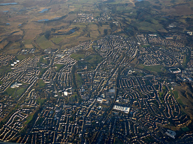
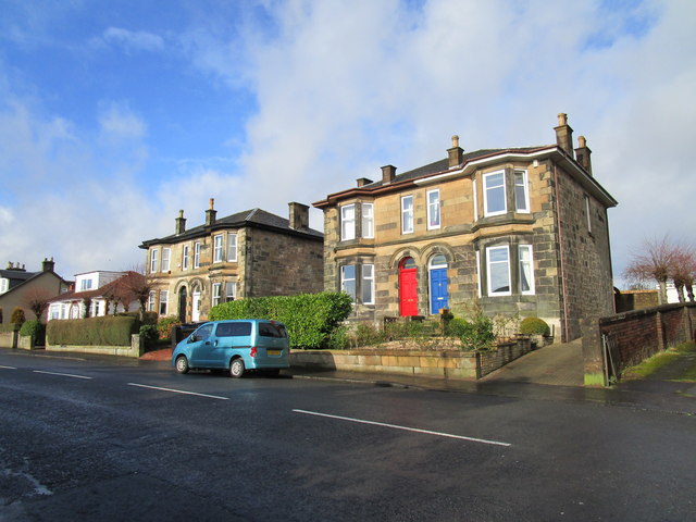
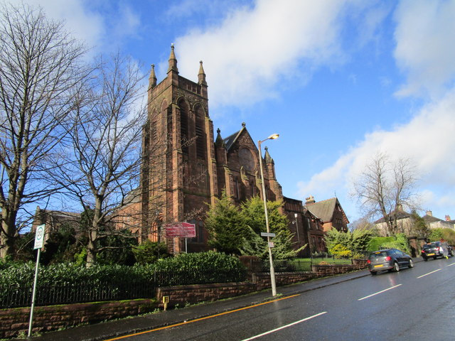
Cairnhill is a small village located in the central belt of Scotland, within the region of Lanarkshire. Situated approximately two miles southeast of Airdrie, it is a predominantly residential area with a population of around 2,500 people.
The village is surrounded by picturesque countryside, offering residents and visitors stunning views of the rolling hills and landscapes that characterize this part of Scotland. Despite its rural setting, Cairnhill benefits from its close proximity to nearby towns and cities, making it an attractive place to live for those seeking a quieter lifestyle while still having access to urban amenities.
Cairnhill is well-connected by road, with the A73 passing through the village, providing easy access to surrounding areas. The nearby town of Airdrie offers a range of services and facilities, including shops, schools, and healthcare centers, ensuring that residents have access to essential amenities within a short distance.
The village itself has a close-knit community feel, with several local community groups and organizations offering activities and events for all ages. There are also a few local businesses, including a convenience store and a pub, providing essential services and a place for residents to socialize.
Cairnhill is also located near several attractions and points of interest, including the popular Drumpellier Country Park, known for its picturesque lochs, woodland trails, and wildlife. Additionally, the village is within easy reach of Glasgow, Scotland's largest city, offering residents the opportunity to access a wide range of cultural, shopping, and entertainment options.
Overall, Cairnhill is a charming village that offers a peaceful and scenic setting, while still providing access to essential amenities and nearby attractions.
If you have any feedback on the listing, please let us know in the comments section below.
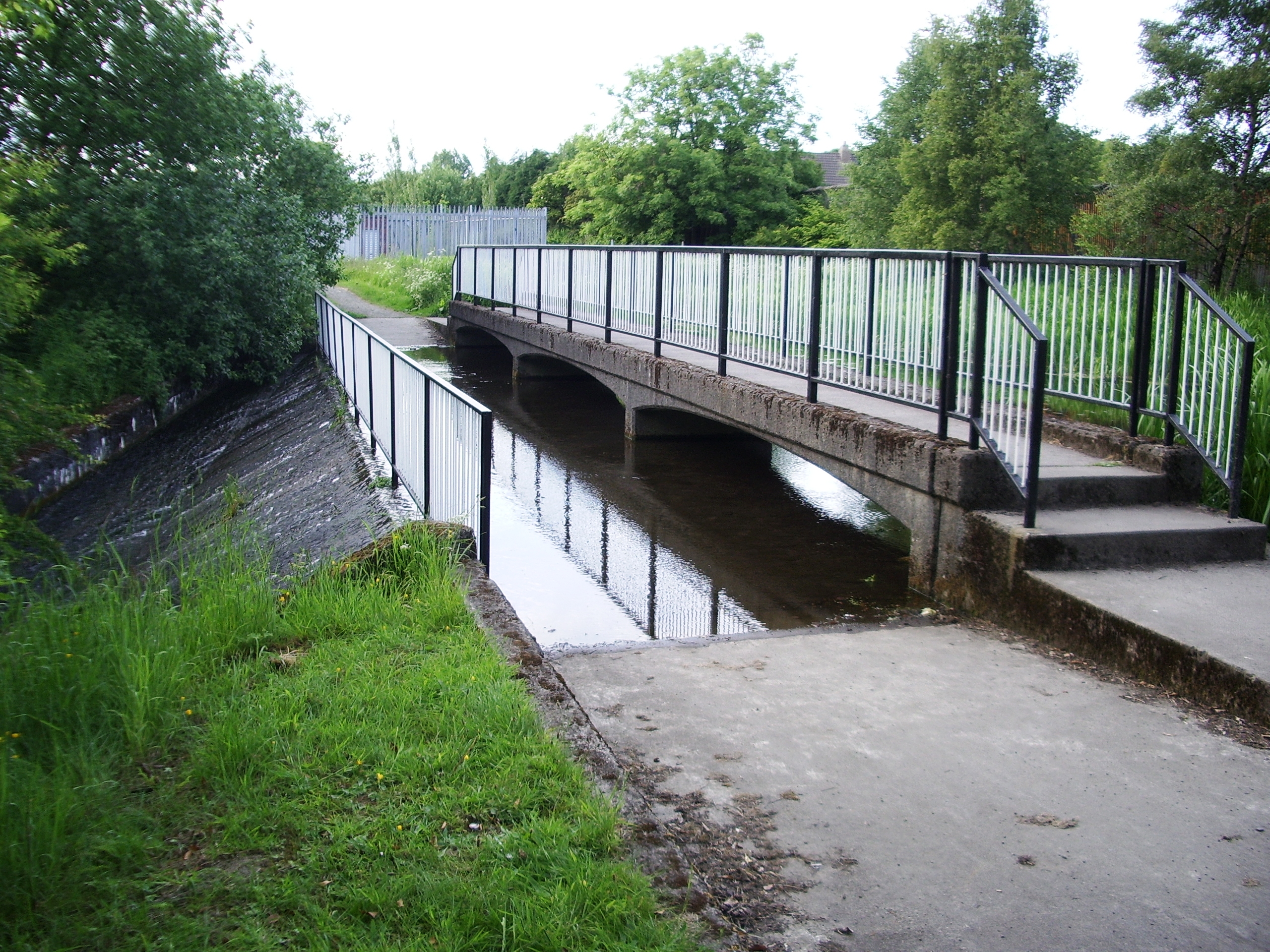
Cairnhill Images
Images are sourced within 2km of 55.856829/-3.984816 or Grid Reference NS7564. Thanks to Geograph Open Source API. All images are credited.


Cairnhill is located at Grid Ref: NS7564 (Lat: 55.856829, Lng: -3.984816)
Unitary Authority: North Lanarkshire
Police Authority: Lanarkshire
What 3 Words
///reason.taxi.lifts. Near Airdrie, North Lanarkshire
Nearby Locations
Related Wikis

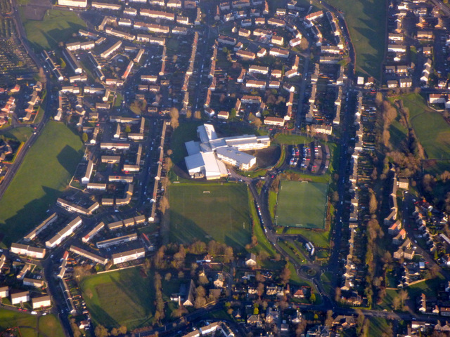
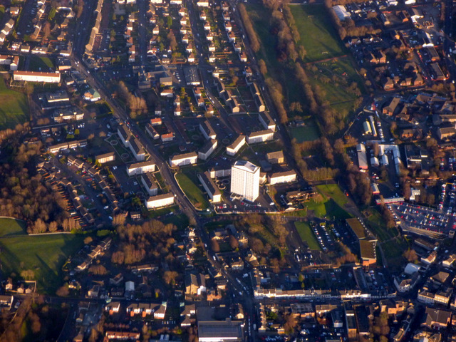
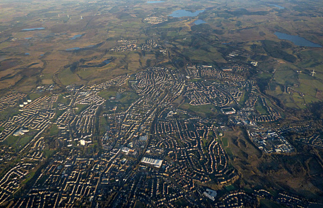
Airdrie, North Lanarkshire
Airdrie (; Scots: Airdrie; Scottish Gaelic: An t-Àrd Ruigh) is a town in North Lanarkshire, Scotland. It lies on a plateau roughly 400 ft (130 m) above...

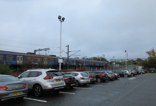
Airdrie railway station
Airdrie railway station is a railway station serving the town of Airdrie, North Lanarkshire, Scotland. The station is managed by ScotRail and is served...
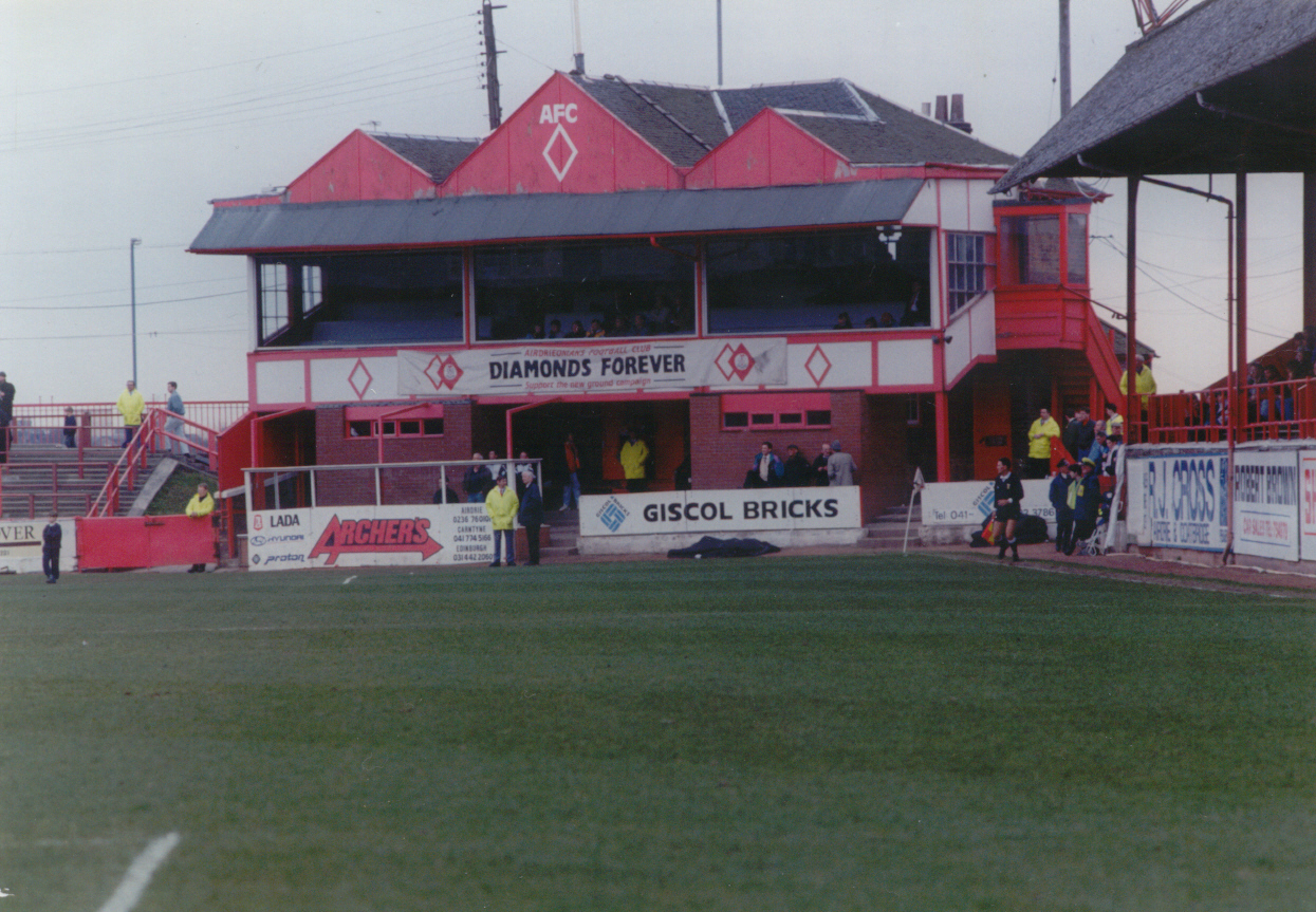
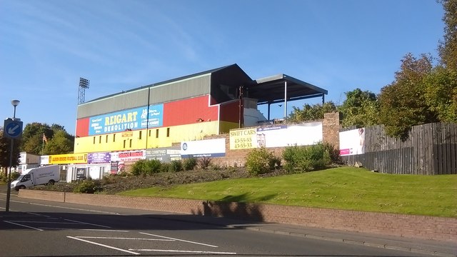
Broomfield Park
Broomfield Park was a football stadium in Airdrie, North Lanarkshire, home of Airdrieonians from 1892 until it was closed after the 1993–94 football season...
Monkland Canal
The Monkland Canal was a 12+1⁄4-mile-long (19.7 km) canal designed to bring coal from the mining areas of Monklands to Glasgow in Scotland. In the course...
Nearby Amenities
Located within 500m of 55.856829,-3.984816Have you been to Cairnhill?
Leave your review of Cairnhill below (or comments, questions and feedback).