Cairneyhill

Settlement in Fife

Scotland

Cairneyhill

A985 at Waukmill, Fife
A985 at Waukmill, Fife Credit: Alpin Stewart

Cairneyhill is a small village located in the county of Fife, Scotland. Situated approximately 4 miles west of Dunfermline, it is nestled between the larger towns of Torryburn and Crossford. With a population of around 2,000 residents, Cairneyhill is known for its peaceful and picturesque setting.

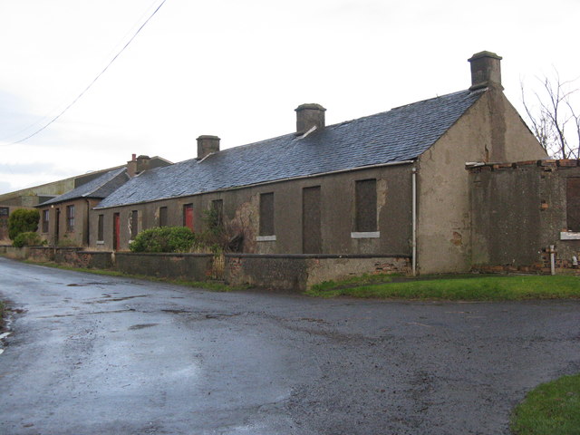
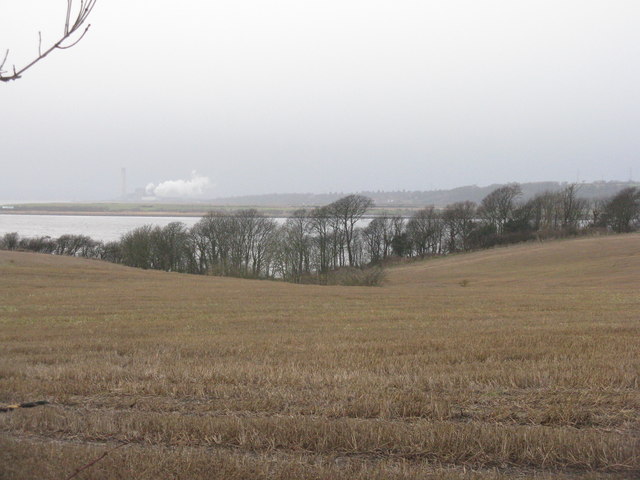
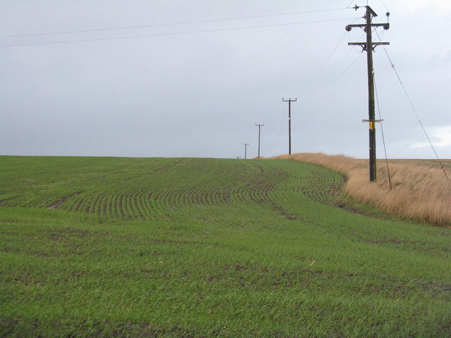
The village is characterized by its charming traditional stone-built houses and has a distinct rural feel. It is surrounded by lush green fields and rolling hills, offering residents and visitors numerous opportunities for outdoor activities such as walking, hiking, and cycling. The nearby Cairneyhill Woods provide a beautiful natural space for exploring nature.

Cairneyhill offers a range of amenities to its residents. The village boasts a primary school, a community center, a local convenience store, and a post office. There are also several pubs and restaurants where locals can socialize and enjoy a meal or a drink.

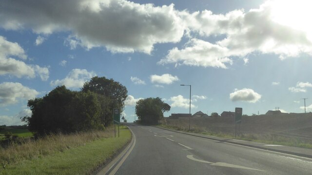
Transportation in the area is well-served, with regular bus services connecting Cairneyhill to nearby towns and cities. The village is conveniently located close to the A985 road, providing easy access to Dunfermline and the wider Fife region.

Cairneyhill is known for its strong community spirit, with various events and activities organized throughout the year. The annual Cairneyhill Gala Day is a highlight, bringing residents together for a day of festivities and celebration.

Overall, Cairneyhill offers a peaceful and idyllic living environment, making it an attractive place to reside for those seeking a tranquil village lifestyle amidst the beautiful Scottish countryside.

If you have any feedback on the listing, please let us know in the comments section below.
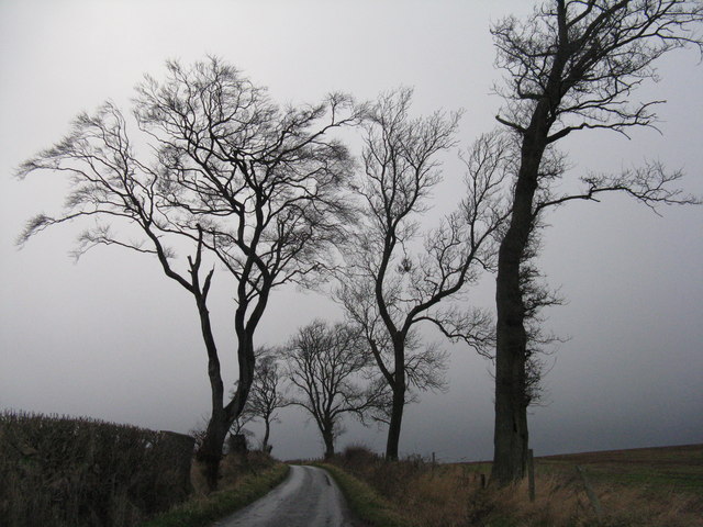
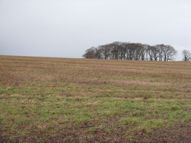
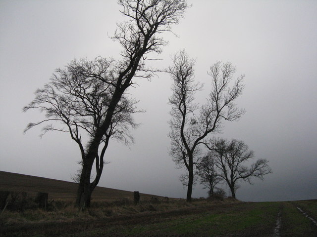
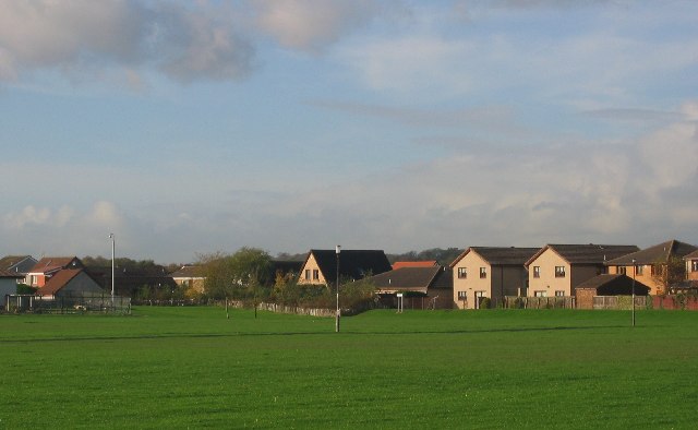
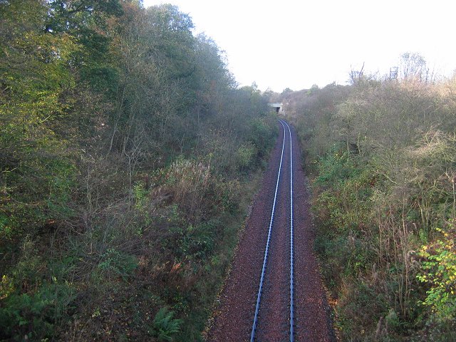
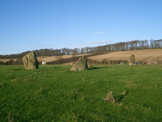
Cairneyhill Images

Images are sourced within 2km of 56.060155/-3.53234 or Grid Reference NT0486. Thanks to Geograph Open Source API. All images are credited.

A985 at Waukmill, Fife
A985 approaching Crombie, Fife
Disused cottages at Bullions On the road to Crombie Point.
Disused cottages at Bullions
On the road to Crombie Point.
The view from Bullions Looking west across the Firth of Forth to Grangemouth.
The view from Bullions
Looking west across the Firth of Forth to Grangemouth.
Winter wheat near Bullions Looking north along the line of the power supply.
Winter wheat near Bullions
Looking north along the line of the power supply.
The road to Crombie Point Trees silhouetted against the clouds of storm Gertrude.
The road to Crombie Point
Trees silhouetted against the clouds of storm Gertrude.
Stubble field with trees Looking north from the road to Crombie Point.
Stubble field with trees
Looking north from the road to Crombie Point.
Trees by the road to Crombie Point Silhouetted against the clouds of the storm Gertrude.
Trees by the road to Crombie Point
Silhouetted against the clouds of the storm Gertrude.
Looking north east from Crombie Across stubble fields towards Pitliver House.
Looking north east from Crombie
Across stubble fields towards Pitliver House.
Stubble at Crombie Winter fields by the A985.
Stubble at Crombie
Winter fields by the A985.
Lay-by at Crombie On the A985, between Kincardine and Rosyth.
Lay-by at Crombie
On the A985, between Kincardine and Rosyth.
Tuilyies Standing Stones The name "Tuilyies" is a corruption of the Scottish word "tulzie" signifying a fight. The stones are said to mark the graves of chieftains who died here in an alleged battle.
Tuilyies Standing Stones
The name "Tuilyies" is a corruption of the Scottish word "tulzie" signifying a fight. The stones are said to mark the graves of chieftains who died here in an alleged battle.
Main Road - Crombie
Main Road - Crombie
Marine House On Ordnance Road, Crombie.
Marine House
On Ordnance Road, Crombie.
Bus terminus at Crombie At the end of Ordnance Road, leading to the DM Crombie Depot.
Bus terminus at Crombie
At the end of Ordnance Road, leading to the DM Crombie Depot.
Crombie store Still closed and boarded up, as it was 7 years earlier <a href="https://www.geograph.org.uk/photo/1882692">NT0484 : Crombie Store</a>.
Crombie store
Still closed and boarded up, as it was 7 years earlier NT0484 : Crombie Store.
Chapel at Crombie Partially boarded-up and apparently disused, but I found nothing of its history.
Chapel at Crombie
Partially boarded-up and apparently disused, but I found nothing of its history.
Fields at Crombie A harvested potato field, with brassicas beyond. Cairneyhill is in the distance.
Fields at Crombie
A harvested potato field, with brassicas beyond. Cairneyhill is in the distance.
Show me another place!

Cairneyhill is located at Grid Ref: NT0486 (Lat: 56.060155, Lng: -3.53234)

Unitary Authority: Fife

Police Authority: Fife

What 3 Words

///meanders.flirts.trio. Near Cairneyhill, Fife

Nearby Locations

Cairneyhill

Related Wikis

Cairneyhill

Cairneyhill is a village in West Fife, Scotland. It is 3 miles west of Dunfermline, on the A994, and has a population of around 2,510 (mid-2020 est.)The...

Cairneyhill railway station

Cairneyhill railway station served the village of Cairneyhill, Fife, Scotland from 1906 to 1930 on the Kincardine Line. == History == The station opened...

Torryburn

Torryburn (previously called Torry/ Torrie) is a village and parish in Fife, Scotland, lying on the north shore of the Firth of Forth. It is one of a number...

Crossford, Fife

Crossford is a small village located in West Fife, Scotland. Its population was 2,358 in 2011. It is 1 mile (1.6 kilometers) west of the city Dunfermline...

Nearby Amenities

Located within 500m of 56.060155,-3.53234
Cairneyhill
Place: village
Source: npe
Wikidata: Q1011976
Wikipedia: en:Cairneyhill
Lat/Long: 56.0601071/-3.5331476
Traffic Calming: cushion
Lat/Long: 56.0605817/-3.5354052
Atm
Check Date: 2024-04-13
Currency GBP: yes
Drive Through: no
Lat/Long: 56.0600499/-3.5349475
HB4 Hair Salon
Shop: hairdresser
Lat/Long: 56.0596697/-3.5371382
Post Box
Brand: Royal Mail
Brand Wikidata: Q638098
Brand Wikipedia: en:Royal Mail
Collection Times: Mo-Fr 09:00; Sa 07:00
Operator: Royal Mail
Operator Wikidata: Q638098
Post Box Type: lamp
Ref: KY12 214D
Royal Cypher: scottish_crown
Source: survey
Lat/Long: 56.0604689/-3.5276959
Post Box
Brand: Royal Mail
Brand Wikidata: Q638098
Brand Wikipedia: en:Royal Mail
Collection Times: Mo-Fr 16:45; Sa 12:00
Operator: Royal Mail
Operator Wikidata: Q638098
Post Box Type: lamp
Ref: KY12 114
Royal Cypher: scottish_crown
Source: survey
Lat/Long: 56.0596946/-3.5401664
La Vida Boutique
Shop: clothes
Lat/Long: 56.0598804/-3.5303678
Scotmid
Addr City: Cairneyhill
Addr Housenumber: 94
Addr Postcode: KY12 8QU
Addr Street: Main Street
Brand: Scotmid
Brand Wikidata: Q7435719
Brand Wikipedia: en:Scotmid
Fhrs Id: 121626
Opening Hours: Mo-Sa 06:00-22:00; Su 07:00-22:00
Operator: Scottish Midland Co-operative Society
Shop: convenience
Lat/Long: 56.0600965/-3.5350302
Spar
Addr City: Cairneyhill
Addr Housenumber: 82
Addr Postcode: KY12 8QU
Addr Street: Main Street
Brand: Spar
Brand Wikidata: Q610492
Brand Wikipedia: en:Spar (retailer)
Opening Hours: Mo-Sa 06:00-21:00; Su 07:00-21:00
Shop: convenience
Lat/Long: 56.0601628/-3.5328704
Renaissance
Shop: hairdresser
Lat/Long: 56.0601989/-3.5331154
Post Box
Brand: Royal Mail
Brand Wikidata: Q638098
Brand Wikipedia: en:Royal Mail
Collection Times: Mo-Fr 16:45; Sa 12:00
Operator: Royal Mail
Operator Wikidata: Q638098
Post Box Type: pillar
Ref: KY12 113
Royal Cypher: scottish_crown
Lat/Long: 56.0601234/-3.5329165
M&D Motors
Shop: car_repair
Lat/Long: 56.0605332/-3.5340079
Bus Stop
Glen Moriston Drive
Bus: yes
Departures Board: timetable
Network: Fife
Operator: Stagecoach
Public Transport: platform
Surface: tactile_paving
Lat/Long: 56.0596532/-3.5402961
Bus Stop
Muirside Grove
Bus: yes
Departures Board: timetable
Network: Fife
Operator: Stagecoach
Public Transport: platform
Shelter: no
Surface: tactile_paving
Lat/Long: 56.0598298/-3.5365429
Bus Stop
Muirside Grove
Bench: no
Bus: yes
Departures Board: timetable
Lit: yes
Network: Fife
Operator: Stagecoach
Public Transport: platform
Shelter: no
Surface: tactile_paving
Lat/Long: 56.0596457/-3.5378934
Bus Stop
Brandy Riggs
Bus: yes
Check Date Shelter: 2024-04-13
Departures Board: timetable
Network: Fife
Operator: Stagecoach
Public Transport: platform
Shelter: yes
Surface: tactile_paving
Lat/Long: 56.060155/-3.5322975
Bus Stop
Brandy Riggs
Bench: yes
Bin: no
Bus: yes
Departures Board: timetable
Lit: yes
Naptan AtcoCode: 6500D0588
Naptan NaptanCode: 34324265
Network: Fife
Operator: Stagecoach
Public Transport: platform
Shelter: yes
Surface: tactile_paving
Tactile Paving: no
Lat/Long: 56.0600643/-3.5319
Bus Stop
War Memorial
Bus: yes
Departures Board: timetable
Naptan AtcoCode: 6500D0586
Naptan NaptanCode: 34324294
Network: Fife
Operator: Stagecoach
Public Transport: platform
Surface: tactile_paving
Lat/Long: 56.0603996/-3.5288018
Bus Stop
War Memorial
Bench: no
Bin: yes
Bus: yes
Departures Board: timetable
Lit: no
Naptan AtcoCode: 6500D0587
Naptan NaptanCode: 34324274
Network: Fife
Operator: Stagecoach
Public Transport: platform
Shelter: no
Surface: tactile_paving
Lat/Long: 56.060329/-3.5284359
Cairneyhill War Memorial
Historic: memorial
Material: stone
Memorial: war_memorial
Lat/Long: 56.0605302/-3.5280968
Crossing
Crossing: traffic_signals
Lat/Long: 56.0597571/-3.5370553
Post Office
Cairneyhill Post Office
Brand: Post Office
Brand Wikidata: Q1783168
Check Date: 2023-09-27
Operator: Spar
Ref Pol Id: 5584
Website: https://www.postoffice.co.uk/branch-finder/183844x/cairneyhill
Lat/Long: 56.060172/-3.5329681
Generator Method: photovoltaic
Generator Output Electricity: yes
Generator Source: solar
Generator Type: solar_photovoltaic_panel
Power: generator
Lat/Long: 56.06082/-3.5327609
Generator Method: photovoltaic
Generator Output Electricity: yes
Generator Source: solar
Generator Type: solar_photovoltaic_panel
Power: generator
Lat/Long: 56.0607542/-3.5326992
Traffic Calming: cushion
Lat/Long: 56.0609936/-3.5366765
Generator Method: photovoltaic
Generator Output Electricity: yes
Generator Source: solar
Generator Type: solar_photovoltaic_panel
Power: generator
Lat/Long: 56.0607477/-3.5273936
Generator Method: photovoltaic
Generator Output Electricity: yes
Generator Source: solar
Generator Type: solar_photovoltaic_panel
Power: generator
Lat/Long: 56.0610247/-3.5288849
Generator Method: photovoltaic
Generator Output Electricity: yes
Generator Source: solar
Generator Type: solar_photovoltaic_panel
Power: generator
Lat/Long: 56.0615976/-3.528672
Generator Method: photovoltaic
Generator Output Electricity: yes
Generator Source: solar
Generator Type: solar_photovoltaic_panel
Power: generator
Lat/Long: 56.0622115/-3.5391236
Traffic Calming: cushion
Lat/Long: 56.0622773/-3.538208
Generator Method: photovoltaic
Generator Output Electricity: yes
Generator Source: solar
Generator Type: solar_photovoltaic_panel
Power: generator
Lat/Long: 56.0626718/-3.5370702
Generator Method: photovoltaic
Generator Output Electricity: yes
Generator Source: solar
Generator Type: solar_photovoltaic_panel
Power: generator
Lat/Long: 56.0585342/-3.5372506
Generator Method: photovoltaic
Generator Output Electricity: yes
Generator Source: solar
Generator Type: solar_photovoltaic_panel
Power: generator
Lat/Long: 56.0627213/-3.5326124
Crossing
Crossing: traffic_signals
Crossing Island: no
Tactile Paving: yes
Lat/Long: 56.0600868/-3.5326708
Generator Method: photovoltaic
Generator Output Electricity: yes
Generator Source: solar
Generator Type: solar_photovoltaic_panel
Power: generator
Lat/Long: 56.0597275/-3.5315565
Generator Method: photovoltaic
Generator Output Electricity: yes
Generator Source: solar
Generator Type: solar_photovoltaic_panel
Power: generator
Lat/Long: 56.0591543/-3.5318127
Generator Method: photovoltaic
Generator Output Electricity: yes
Generator Source: solar
Generator Type: solar_photovoltaic_panel
Power: generator
Lat/Long: 56.0576678/-3.5262173
Generator Method: photovoltaic
Generator Output Electricity: yes
Generator Source: solar
Generator Type: solar_photovoltaic_panel
Power: generator
Lat/Long: 56.0587369/-3.5260492
Generator Method: photovoltaic
Generator Output Electricity: yes
Generator Source: solar
Generator Type: solar_photovoltaic_panel
Power: generator
Lat/Long: 56.0578513/-3.5356643
Power: pole
Lat/Long: 56.0630792/-3.5296343
Power: pole
Lat/Long: 56.0631278/-3.5295472
Power: pole
Lat/Long: 56.0635927/-3.5288331
Bench
Colour: red
Material: steel
Lat/Long: 56.0604484/-3.5326337
Bench
Colour: red
Material: steel
Lat/Long: 56.0604394/-3.5326722
Waste Basket
Lat/Long: 56.060737/-3.5329876
Waste Basket
Lat/Long: 56.0601915/-3.5323475
Advertising: board
Support: pole
Lat/Long: 56.0602074/-3.5323587
The data included in this document is from www.openstreetmap.org. The data is made available under ODbL.

Have you been to Cairneyhill?

Leave your review of Cairneyhill below (or comments, questions and feedback).